Border Route --Loon Lake to Rose Cliffs
by BlindMoose
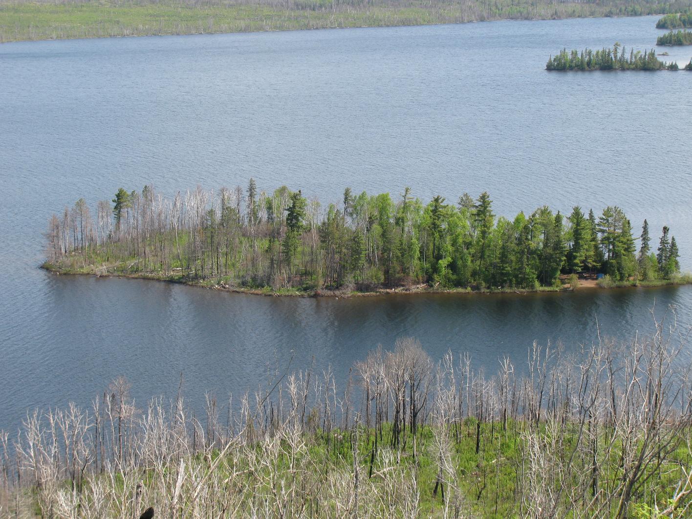
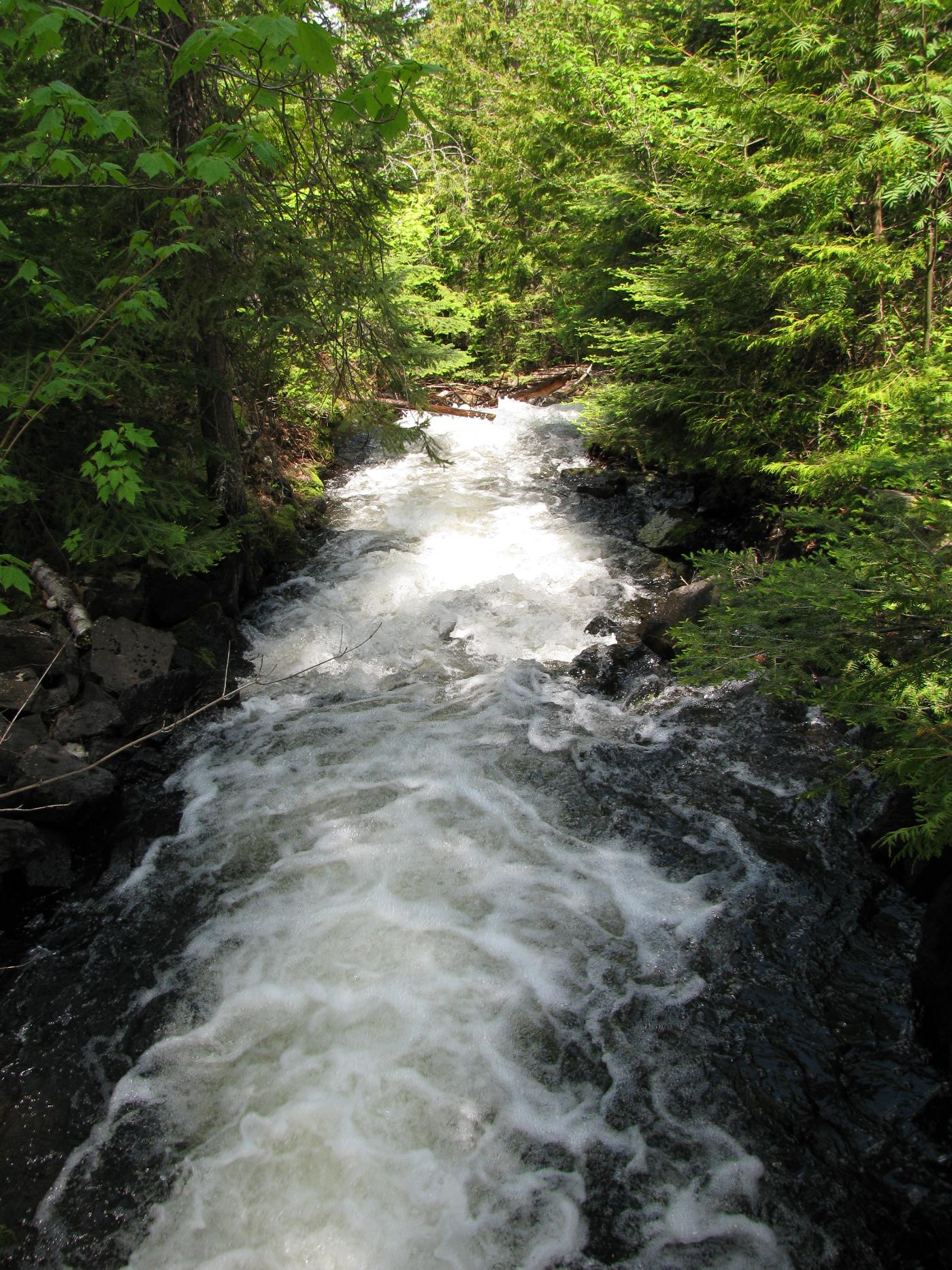
With a long day ahead, we broke camp before 8 am and made our way along the Brice-Breon trail and up to the ridge above Gunflint Lake and our first introduction to the Border Route. The Brice-Breon was in pretty good shape, except it was fairly wet. We each went through three pairs of socks on this day. The views along the ridge by Gunflint Lake were very nice and the breeze rather welcome. We followed the trail east as it descended down the ridge, eventually skirting Loon Lake again and moving us back up and over some bluffs and burnout above Gunflint Lake. The trail through Bridal Veil Falls was fairly easy to follow and we stopped there for a late morning lunch.
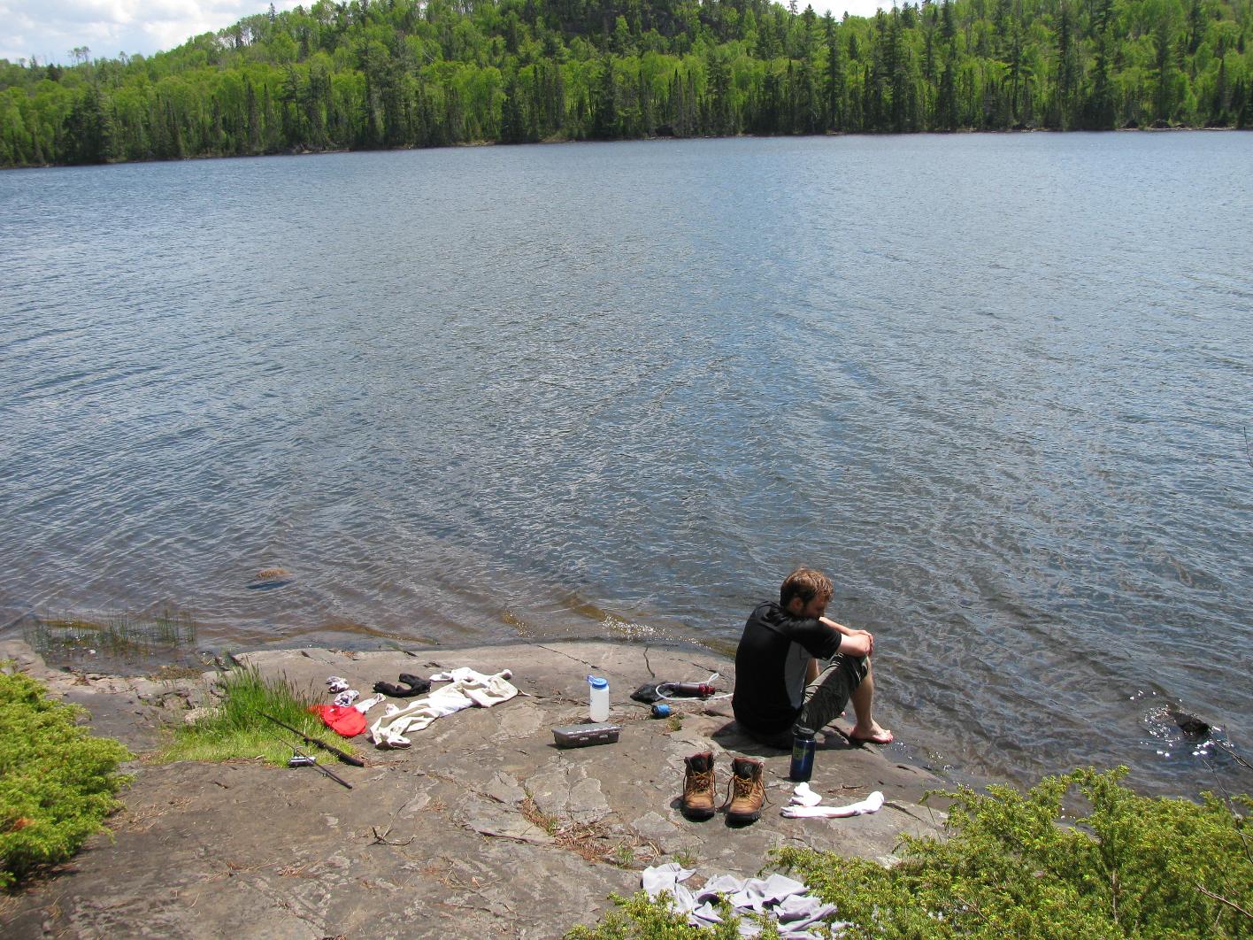
East of Bridal Veil Falls the trail was a bit more obscured, though there were plenty of blue ribbons to follow through the burned out area. It was pretty hot up on those hills exposed to the sun, but the wind helped some. After the Crab Lake Trail, the Border Route stayed mostly below the ridgeline, which was cool but buggy. God bless bug nets. We finally reached Topper Lake around 1 pm and found a very nice campsite there. Our general plan was to hike mornings, chill and fish in the afternoons and get to bed early after dinner, so Topper was the destination.
The loons on Topper were very a constant source of entertainment but I failed miserably fishing it. Still, there was a nice, big rock to lay in the sun and dry our clothes, so Topper was rather nice.
Distance hiked: 8.2 miles
 Donate - BWCA.com