|
02/14/2013 05:12PM |
quote butthead: "I never did find any transferable files for Q campsites in the Arch Harris collection."
I have never looked too hard for them, either, but I think that the quet-pcd.wpt file here can be converted to use with my Garmin handheld and BaseCamp software, in addition to Google Earth. Another item for my to-do list...
|
02/14/2013 04:29PM |
I never did find any transferable files for Q campsites in the Arch Harris collection.
butthead
|
02/14/2013 12:24PM |
For the Canadian trip planners, portages, campsites (existing and possible shown), and displayed trip information are there.
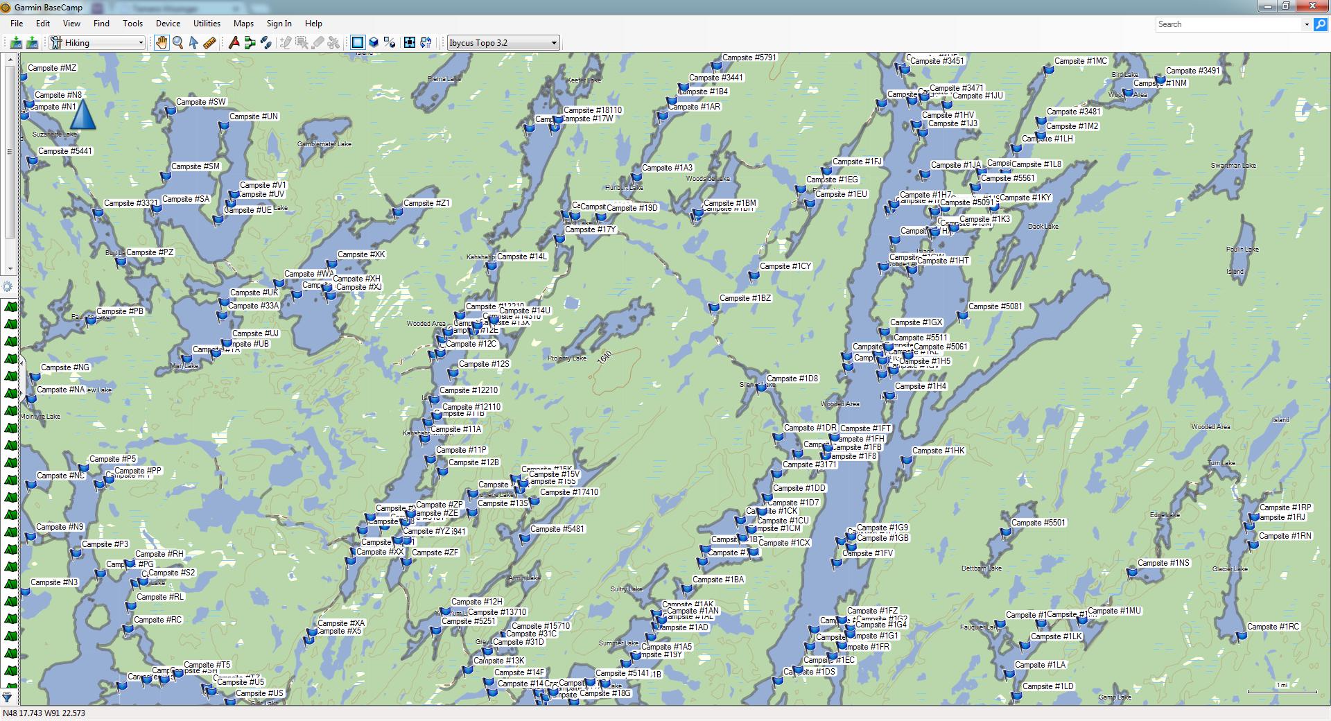
Basecamp showing camps and portages, parts of Kawishiwi and Agnes, on Basecamp.
butthead