BWCA Entry Point, Route, and Trip Report Blog
January 05 2025
Entry Point 14 - Little Indian Sioux River North
Number of Permits per Day: 6
Elevation: 1364 feet
Latitude: 48.1466
Longitude: -92.2103
LIS North Loop, April 2012
Entry Date:
April 20, 2012
Entry Point:
Little Indian Sioux River (north)
Number of Days:
6
Group Size:
1
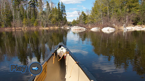
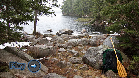
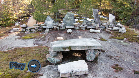
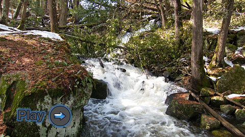
A springtime solo canoe trip in Minnesota's Boundary Waters Canoe Area Wilderness from the Little Indian Sioux (LIS) River North entry point.
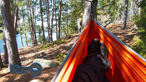
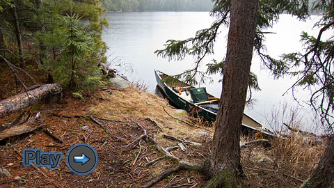
This is an experimental video trip journal presented as six individual videos, one for each day. If you experience problems with the primary "Vimeo" video links, you can try the alternate "YouTube" links that are also included.
I apologize in advance if these videos don't play well for everyone. They are originally in HD format and may require a lot of internet bandwidth. Lower resolution versions can be selected in the control bar associated with each video if internet speed is a problem.
Day 1: LIS River (Entry) to Hustler Lake
Little Indian Sioux River North Loop
Friday, April 20, 2012
Vimeo: LIS River North Loop, Day 1
YouTube: LIS River North Loop, Day 1
Day 2: Hustler Lake to Ge-be-on-e-quet Lake
Little Indian Sioux River North Loop
Saturday, April 21, 2012
Vimeo: LIS River North Loop, Day 2
YouTube: LIS River North Loop, Day 2
Day 3: Dry Out Day on Ge-be-on-e-quet Lake
Little Indian Sioux River North Loop
Sunday, April 22, 2012
Vimeo: LIS River North Loop, Day 3
YouTube: LIS River North Loop, Day 3
Day 4: Ge-be-on-e-quet Lake to Finger Lake
Little Indian Sioux River North Loop
Monday, April 23, 2012
Vimeo: LIS River North Loop, Day 4
YouTube: LIS River North Loop, Day 4
Day 5: Layover Day on Finger Lake
Little Indian Sioux River North Loop
Tuesday, April 24, 2012
Vimeo: LIS River North Loop, Day 5
YouTube: LIS River North Loop, Day 5
Day 6: Finger Lake to LIS River (Exit)
Little Indian Sioux River North Loop
Wednesday, April 25, 2012
Vimeo: LIS River North Loop, Day 6
YouTube: LIS River North Loop, Day 6


