BWCA Entry Point, Route, and Trip Report Blog
January 05 2025
Entry Point 50 - Cross Bay Lake
Number of Permits per Day: 3
Elevation: 1670 feet
Latitude: 48.0760
Longitude: -90.8222
Cross Bay Lake - 50
2013 BWCA Solo
Entry Date:
August 31, 2013
Entry Point:
Kawishiwi Lake
Number of Days:
15
Group Size:
1
Entry Point: EP #37, Kawishiwi Lake Exit Point: Kawishiwi Lake Entry Date: Tuesday, September 3, 2013 Exit Date: Tuesday, September 10, 2013
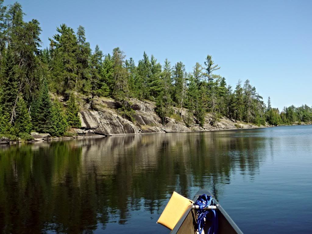
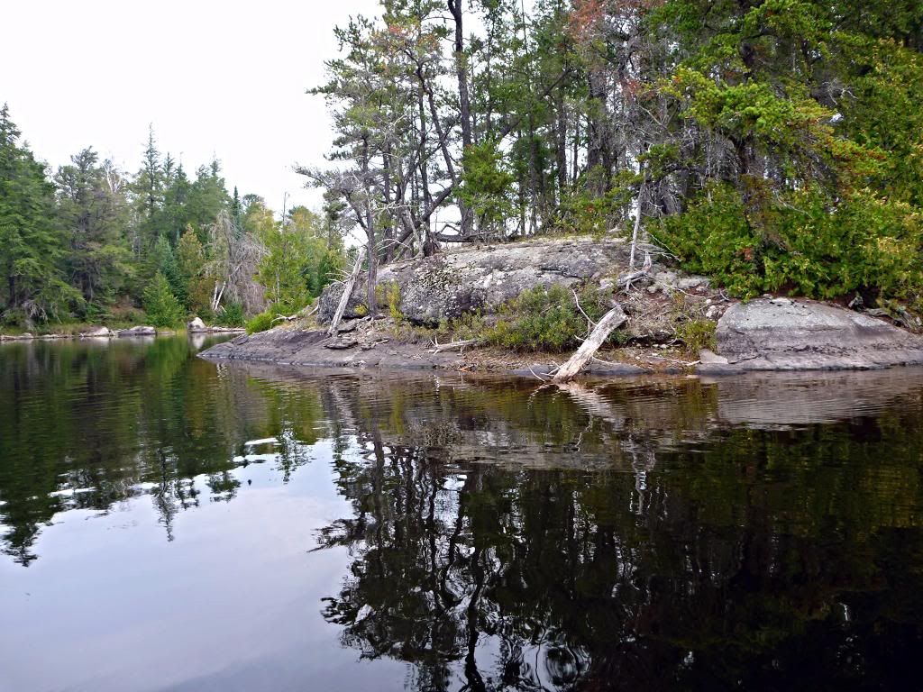
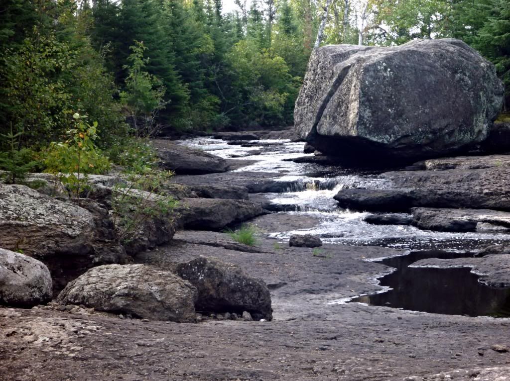
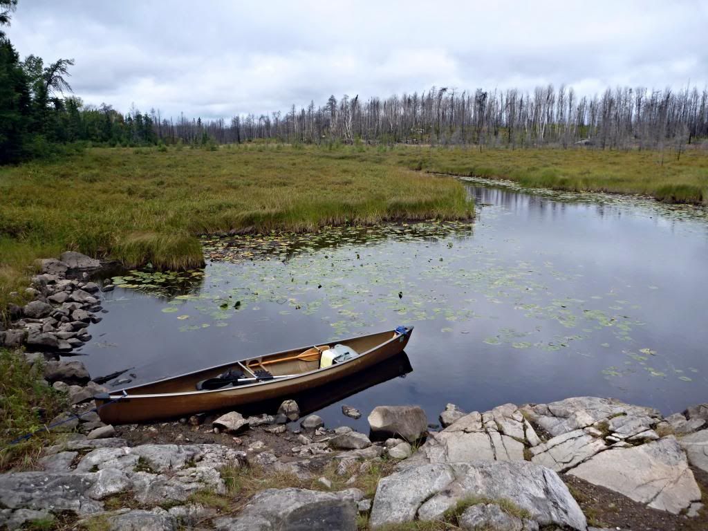
Route: Kawishiwi Lake, Square Lake, Kawasachong Lake, Townline Lake, Polly Lake, Koma Lake, Malberg Lake NW, Kawishiwi River, Trapline Lake, Beaver Lake, Adams Lake, Beaver Lake, Trapline Lake, Kawishiwi River, Amber Lake, Kawishiwi River, NE Malberg Lake, Koma Lake, Polly lake, Townline Lake, Kawasachong Lake, Square Lake, Kawishiwi Lake. Total miles traveled were about 51 – 37 paddling and 14 double portaging. There were 25 portages totaling close to 1,500 rods (x3 for double portage distance), with the longest being about 190 rods. Several more miles were paddled during circumnavigations and day trips. The route encompassed a variety of lakes, streams, scenery, and topography beginning with shallow lakes and narrow streams through low-lying marshlands, through the edge of the burn area from the Pagami Creek wildfire, to the broader reaches of the Kawishiwi River, deep, island-studded lakes surrounded by dense forest, and the steep rocky shores of Adams Lake and its granite outcrops.
Campsites: Lake Polly #1078 and #1081 (?), Malberg Lake #1042 and #1053, Adams Lake #1045, and Amber Lake #1043. One campsite was NR (not rated) and the others ranged from 1-star to 5-star sites. Note: The McKenzie map, the map on BWCA.com show one campsite on southeastern Lake Polly; Fisher and Voyageur maps show two. There are, in fact, two campsites south of #1078 on the eastern shore of Lake Polly. I stayed at the more northerly of the two, which is north of the peninsula jutting north out of the southwest of the lake. The site review on BWCA.com is actually for the more southern of the two, not the one located on the map, which accounts for the fact that it was “farther south than shown on the map”. It is south of the end of the peninsula in the southwest of the lake.
Weather: The weather was generally good. The first five days were mostly sunny, dry, and warm – even downright hot a few days, with warm and muggy nights. There was a trace of rain on Sunday and Tuesday, with heavy rain on Monday. Winds were mostly light, but were strongest on Tuesday morning. Sawbill Outfitter’s weather history shows daily highs between 62 and 76 and overnight lows from 42 to 57. They measured 1.95” of rainfall on Monday. I noted in my journal that the temperature at the Kawishiwi Lake entry point was 38 degrees at 8:30 AM on Tuesday, September 3rd. I also noted that it was “just plain too hot” on Tuesday and Wednesday afternoons. The first two nights were so warm that I left the fly off the tent.
General: This trip was scheduled three weeks earlier than my normal Boundary waters trip due to a wedding on September 28th, at which “my presence was [absolutely] required”, at least according to my wife. It was generally hotter, buggier, and busier than my normal trips and, of course, I was too early for the fall colors. Overall, however, it was an enjoyable trip into a new area.
Afoot and lighthearted I take to the open road, healthy, free, the world before me, The long brown path leading me wherever I choose… From this hour I ordain myself loos’d of limits and imaginary lines, Going where I list, my own master total And absolute… Gently, but with undeniable will, Divesting myself of the holds that would hold me. I inhale great draughts of space, The east and west are mine, and the north and south are mine. Excerpts from “Song of the Open Road” in “Leaves of Grass”, by Walt Whitman
Pre-trip:
Saturday, August 31, 2013: The arrangements have been made, the packing completed, and I begin the long-awaited journey at 7:00 AM, Saturday, August 31, 2013. I depart Morgantown, WV, under cloudy skies with a temperature of 72 degrees. The traffic is light and The Eagles’ Greatest Hits, Vol. 1, is in the CD player.
“Well I’m a runnin’ down the road tryin’ to loosen my load Got a world of trouble on my mind… Take it easy, take it easy Don’t let the sound of your own wheels make you crazy”
I drive through Pennsylvania and across Ohio on the Turnpike, but my mind remains at home. Sometimes the present is an elusive moment between the past and the future, neither here nor there. I turn north at Toledo, cross into Michigan, and stop at the Michigan Welcome Center for lunch. Traffic is heavy until after Ann Arbor, where Michigan has a mid-afternoon home game, but thins out north of Bay City. Michigan is less populous here and the landscape becomes more prominent.
I arrive in Gaylord, MI, about 5:30 PM, check in at EconoLodge, and have a quick dinner at Big Boy and some ice cream at Cold Stone. I return to EconoLodge and am soon ready for sleep.
I arrive at Motel 6 in Duluth 11 hours after leaving Gaylord, MI. The clock says 5:15 PM – I have gained an hour crossing into the Central Time Zone, but my body disagrees. I have a nice long dinner and chat over maps with BWPaddler from BWCA.com at the Duluth Grill next door to Motel 6. The Smoked Salmon Salad was good for dinner as was the Avocado Coconut Sorbet for dessert.
It’s 1:00 AM when I turn in for the night – much later than I’d like, but there were things to be done. Things to be done and left behind when the trip begins.
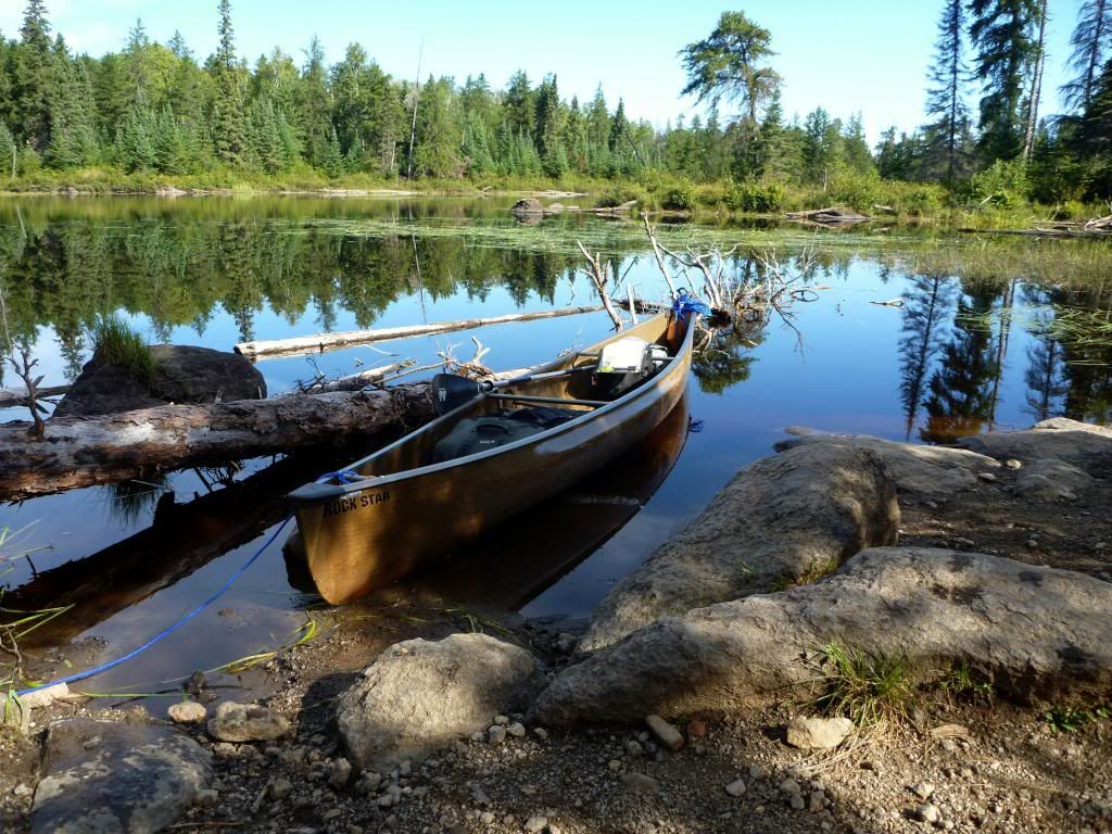
I drive north after lunch to Sawtooth Outfitters in Tofte to pick up my permit and a Bell Rockstar, then on to Superior Ridge Resort for the night. The room is very nice and I organize gear and clothing, review maps and notes, and generally prepare for tomorrow’s entry at Kawishiwi Lake.
I do a few final things after dinner and go to bed before late – it’s a long drive out to EP #37 and I want to be on the water early.
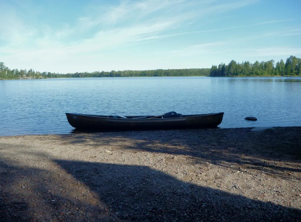
Tuesday, September 3, 2013: The drive to EP #37, Kawishiwi Lake, is long and I don’t get started as early as I had planned. I see a deer, a grouse, a heron, and a fox on the drive out. I watch the temperature gradually drop as I drive to the entry and it’s 38 degrees when I arrive at Kawishiwi Lake. I wait while a pair of trippers load up and shove off, and then I unload the canoe and packs and park the car in the lot next to a large SUV with USGS on the door. I’m on the water at 8:45 AM.
The Bell Rockstar paddles nicely and it’s pretty smooth sailing. I catch up with the pair ahead of me at the portage. Their canoe has a USGS tag on it and they have a hell of a load of gear to portage. I say, “You guys have a hell of a lot of stuff to portage”. He explains to me that they are headed into Malberg Lake for 14 days to live trap and radio collar wolves as part of a wolf-deer study. He says they have over 200 lbs. of gear just for the trapping and radio collaring, plus about 70 lbs. of food, the canoe and their personal gear. I figure it has to be at least 400 lbs. and better them than me. They plan to go all the way to Malberg today. After the 14 days on Malberg, they’ll exit, rest a day or two, restock, and enter somewhere else for another 14 days. Then repeat 1 or 2 more times.
There are a couple of other people headed in and several headed out on the day after Labor Day, and the portages are busier this day than I’ve experienced in my past trips, but we all just go about our business and there’s room for everyone. It’s a sunny day, not a cloud in the sky, and warming up rapidly. In fact, I’ll later note that it’s just too damned hot. It’s usually cloudy and 20 degrees cooler on my trips.
I stop at campsite #1078 on Lake Polly for a late lunch. I’m tired and realize while eating lunch that I’ve had very little to eat or drink since breakfast. I have 1 ½ liters of water left of the 2 liters I started with on a sunny hot day with several miles of portaging. I decide I’m probably a little dehydrated and decide to stay here. I drink the rest of that water while setting up camp and then have a mug of coffee. I’m not very hungry for dinner so I eat one of the lighter dinners – Hawk Vittles’ Beef Stew (381 mg sodium) - and drink more water.
It’s a warm, muggy, cloudless evening when I go to bed about 9:00 and I leave the tent fly off.
I make the short portage to Malberg Lake after a welcome paddling break on Koma Lake. I’m enveloped by a cloud of mosquitos at the end of the portage, a portent of things to come. I paddle up Malberg Lake as it evolves into another very sunny, hot day. I stop at a couple of little-used campsites that are plagued by mosquitos. One has a tree too short to provide shade and no discernible tent pad. This is a less desirable site than the 1-star site I will later stay at on Amber Lake. It’s even less desirable than the campsite on Trapline Lake. It must be a zero-star site.
The elevated campsite at the narrows is occupied and I eventually take site #1042, a nice site in the NW corner of Malberg Lake across from the portage to the Kawishiwi River. It’s about 2:00 and my back is sore and I have a blister on one thumb and a blister on one foot. I set up camp and sit down to relax with a coffee. Dinner is Hawk Vittles’ Cashew Curry (65 mg sodium), which is very good and only 65 mg of sodium! It has lots of yellow curry and enough chili to make you notice without being overpowering. I will definitely eat this one again. I go to bed early and leave the fly off the tent again. It’s a cooler night than the first night.
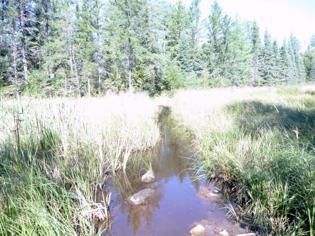
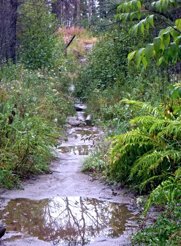
I’m underway at 9:45 and quickly over to the portage to the Kawishiwi River, where I run into a kayaker I saw earlier in the trip. He’s in a small kayak with the pack strapped on the deck. He advises that the end of the portage is muddy and there’s a way to the right where people have worked around the mud and low water. Shortly after starting the portage I traverse a flooded section. I almost lose a shoe in the mud on the work-around, which leads to an awkward, rocky little put-in.
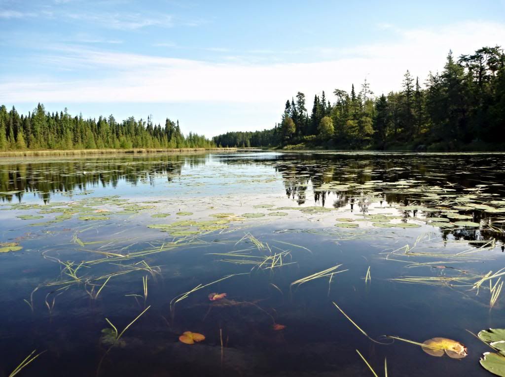
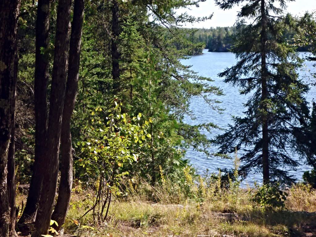
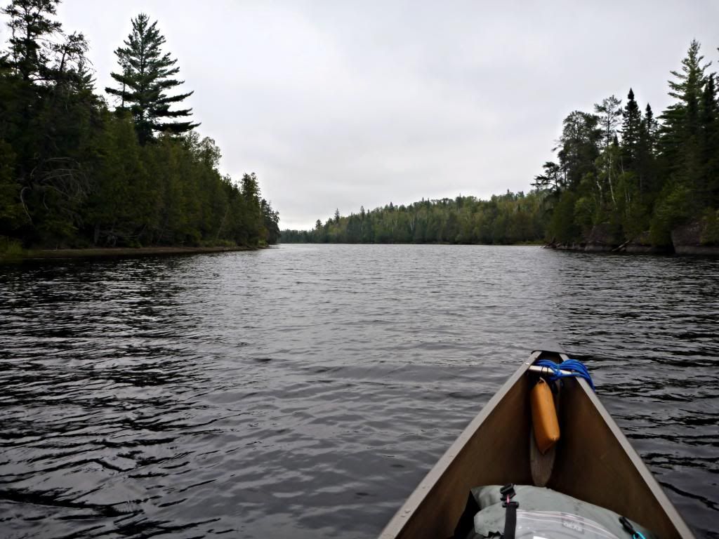
It’s another cloudless, sunny day and warms up rapidly as I paddle west on the Kawishiwi River, then north towards Trapline Lake (sometimes unnamed). I stop at the campsite on Trapline Lake for lunch. It’s not much of a site – there’s a tough landing and climb to a cramped site with no good tent pad or even a good place to hang a hammock. The view is nice though.
I take the short portage to Beaver Lake and head towards the Adams Lake portage. It seems odd that a lake the size of Beaver only has two campsites. I find the portage from Beaver Lake to Adams Lake without difficulty, but it helps that I know what to look for. The landing on Beaver is very rocky and makes for some tricky footing. It’s a very cool portage to walk, but obviously less used than the other portages on this trip. There are scrape marks on a lot of rocks on the portage – it almost looks like someone has drug a canoe across them.
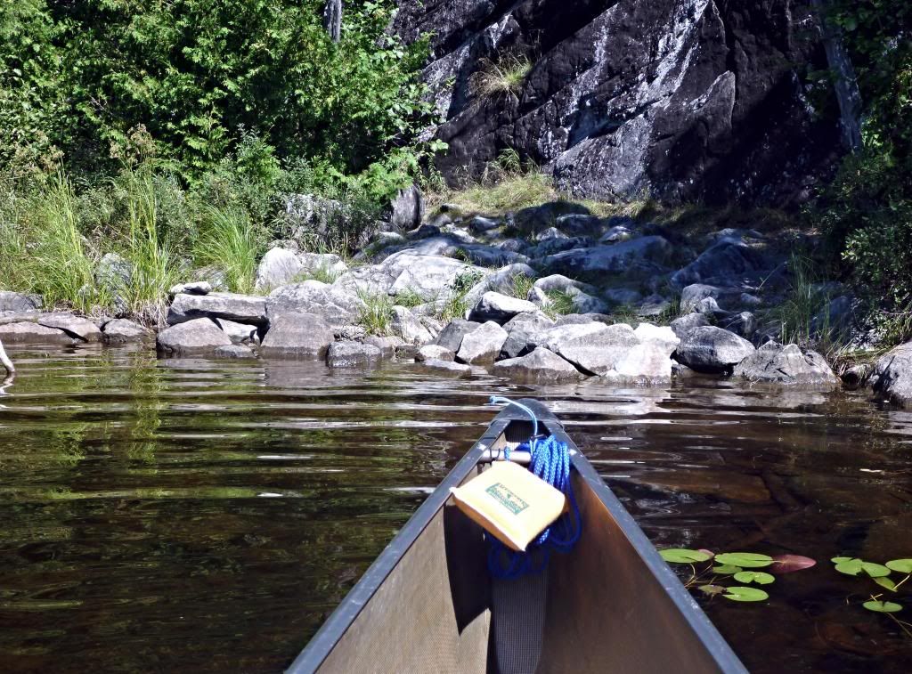
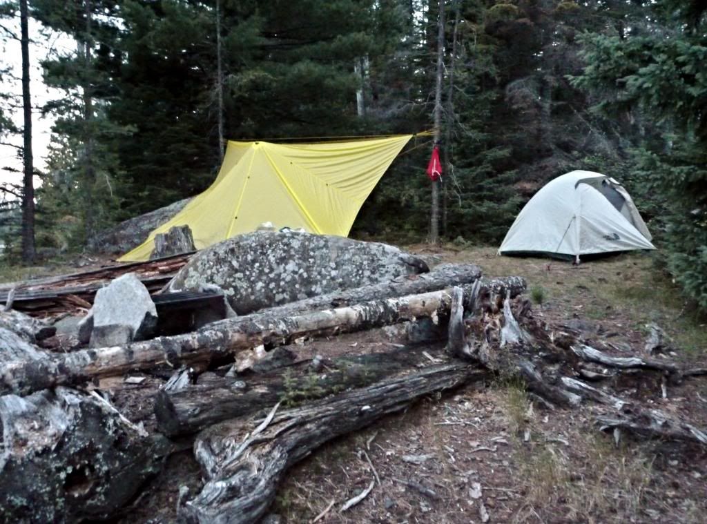
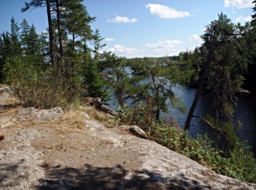
The island campsite is occupied and I paddle around Adams Lake and eventually take campsite #1045 on the north side. This site is high up on top of the rocks and not obvious from the water, but it is a nice site. The landing is a sloping, slick-rock granite landing and there’s a long climb to a very elevated site with great views from all the open rock. It’s moderately spacious with a couple of nice places for tents.
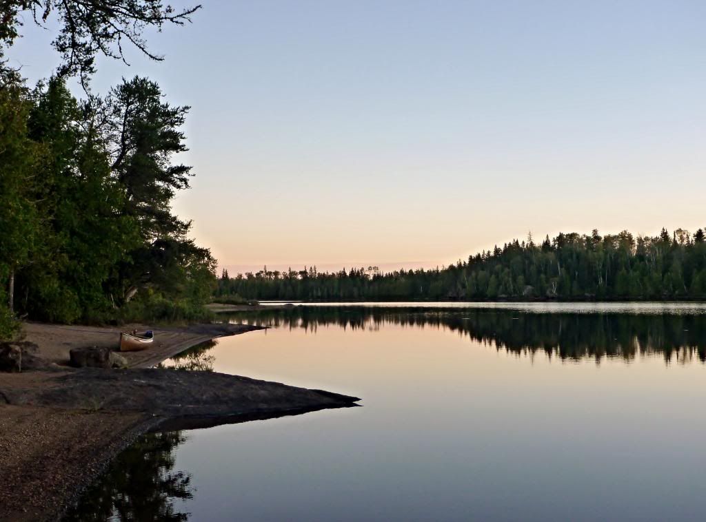
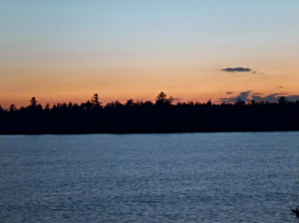
I set up camp and relax with a mug of coffee on the rocks out front, bare feet drying in the sun. Outdoor Herbivore’s Lickety Split Lentils (500 mg sodium) makes a very good dinner – almost as good as Hawk Vittles’ Cashew Curry. I enjoy a nice sunset view to the west. It’s another warm clear night and I’m too warm in the sleeping bag and too cool out of it in just underwear and a T-shirt.
The birds have vanished into the sky, And now the last cloud drains away. We sit together, the mountain and me, until only the mountain remains. Li Po
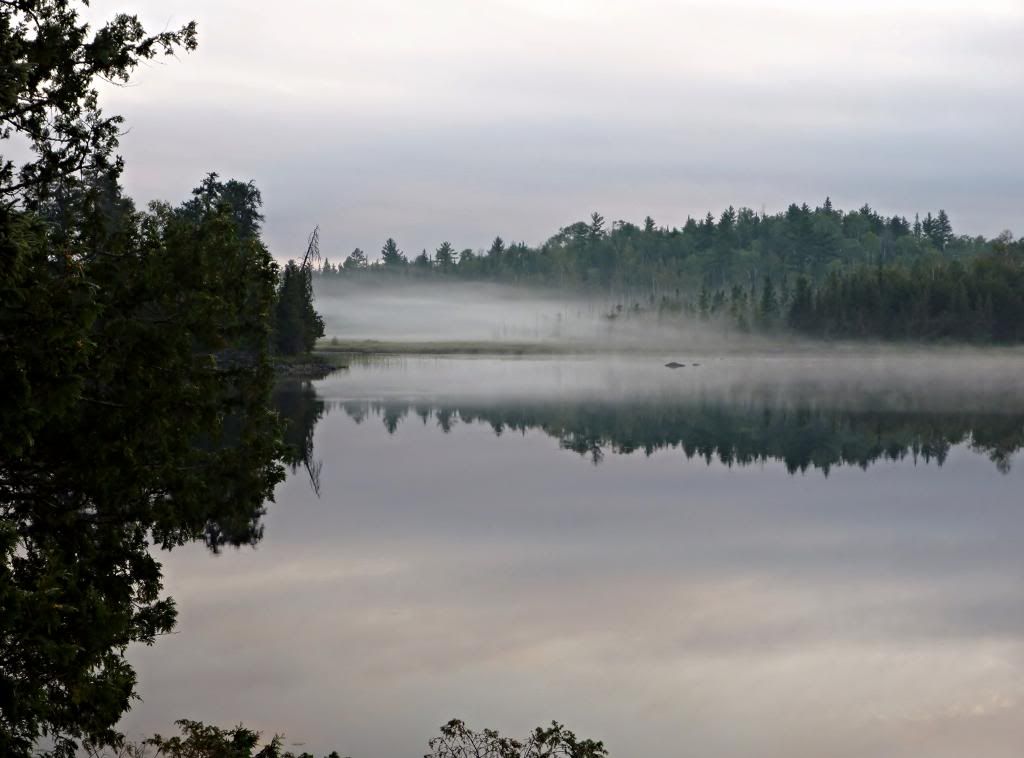
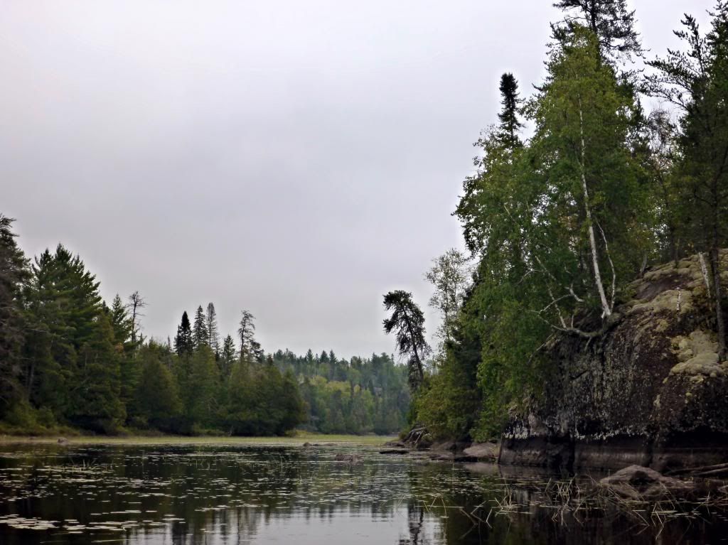
It’s a cloudy morning with light wind as I paddle leisurely around the scenic southeast side of Adams Lake taking pictures. I carry across the portage to Beaver Lake, paddle across it, and portage into Trapline Lake. There’s a light sprinkle as I paddle into the Kawishiwi River, but the sky will clear and the day will become very hot and sunny in the afternoon.
I paddle south on the Kawishiwi River and stop at one of the island campsites, thinking it might be nice to spend a night camped on the river for a change. The ferocious horde of mosquitos there changes my mind and I head south on the Kawishiwi River again. By now it’s “way too hot, must be in the 80”s, I think. I paddle into Amber Lake farther south on the Kawishiwi River. I stop at the first campsite, a nice one with a beach landing, but low-lying and buggy. I continue my circumnavigation of Amber Lake and take the northwest campsite. It’s elevated 10-15 feet above the water on some granite outcrop with great views, a poor fire grate area (even by my standards), a couple of fair tent pads, and a poor landing. It will do for me tonight. I later discover it’s a 1-star campsite and regret this decision.
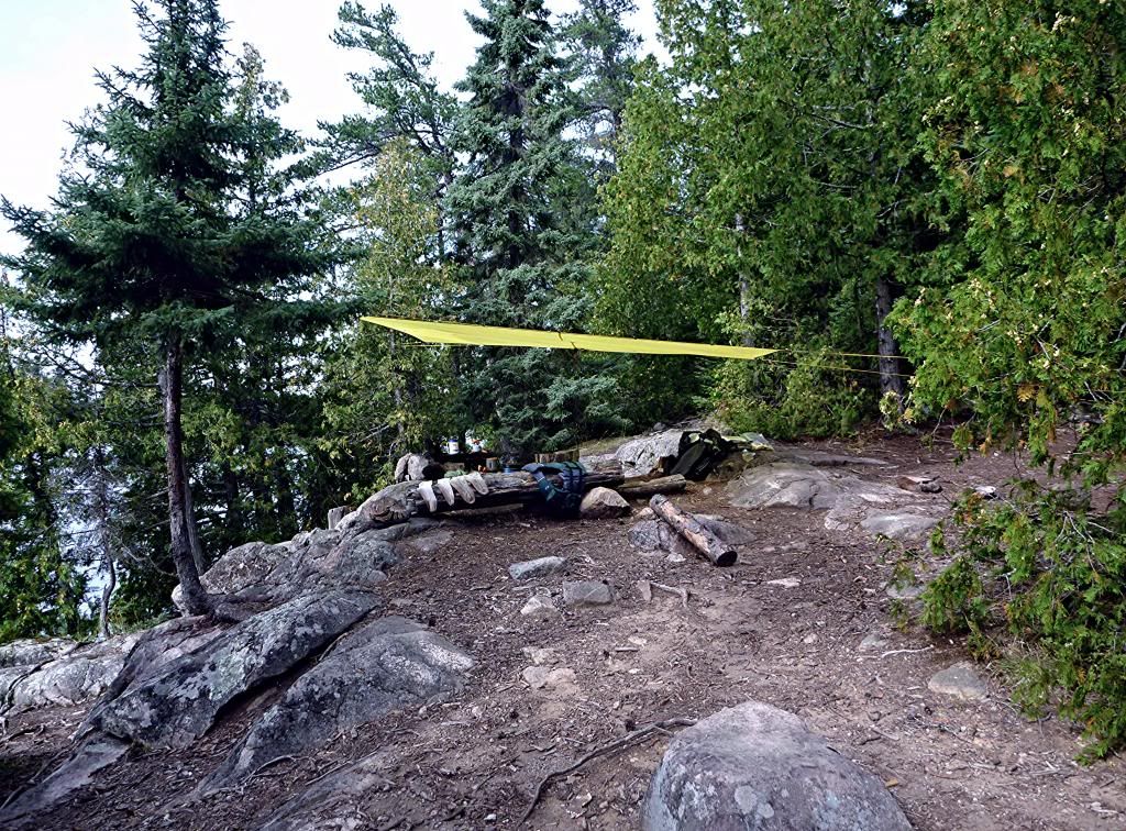
Amber is a nice lake which I share with an eagle, a loon, and some beavers, as well as bees, spiders, ants, and…a bunch of damn mosquitos. I’m uncertain about the weather tonight - possible heavy storms with hail are forecast for the “arrowhead” of MN and northwest WI - so I set up the tarp to cover my gear and put the fly on the tent.
I eat Hawk Vittles’ Chicken Pilaf (948 mg sodium) for dinner. It doesn’t rehydrate thoroughly and I add an ounce or so of water, but don’t let it sit before eating the rest. It tastes OK – not great, but OK despite some “chewy” carrots and “crunchy” something. My appetite has improved since the first couple of days.
The day was almost unbearably hot and humid and it’s still very warm and muggy, so I wipe down with a couple of body wipes and put on clean clothes. It doesn’t make me feel a whole lot better. I wash my clothes and hang them up to dry, guessing they’ll probably still be wet in the morning. A beaver swims across the lake. The mosquitos drive me into the tent early and I am almost sweating as I sit in the tent in my underwear. There’s no breeze whatsoever. I decide I’ll paddle the Kawishiwi River to the northeast arm of Malberg Lake tomorrow. There will only be two short portages the entire day, which will be nice.
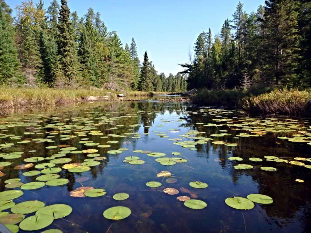
I think about paddling up the stream north out of Amber as a beaver swims across the lake, but weather worries head me toward the Kawishiwi River. An eagle flies overhead just before I reach the river, then a merganser takes off, and as I reach the river a raven flies north up the Kawishiwi River. I follow the raven north on the Kawishiwi River into a light breeze as the skies clear. The forecast was spot on. It is sunny, windy, hot and humid by noon and I wish for the cooler weather of late September.
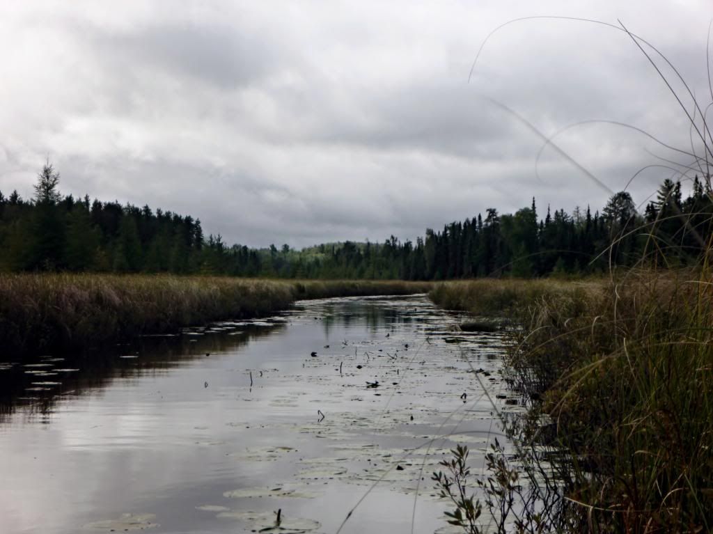
I paddle around the east side of the islands and then follow the Kawishiwi River to the northeast. I portage around the little rapids on the river. As I continue to paddle northeastward, I think “someday my granddaughter, Sara, will paddle her canoe on the Kawishiwi River and carry across these same portages”. I arrive at the final portage of the day, a 48-rodder into the northeast arm of Malberg Lake. There’s a sign on a tree there warning dog owners about the wolf trapping project. It’s 11:30 when I paddle into Malberg Lake just as two guys paddle out from the first campsite. The first people I have seen since paddling into Adams Lake. The lake is briefly “mis-oriented” before it straightens itself out. I find myself at the campsite at the southwest end of the long narrow arm of Malberg for lunch.
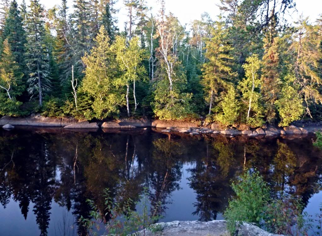
I paddle on after lunch and take the campsite at the “narrows” when I find it open. I love elevated campsites and this one is on top of a rock outcrop 40-50 feet above the lake. There are great views and several level tent pads on bare, hard-packed ground. The site has plenty of room and lots of sitting rock to enjoy views to the east and west.
I “cook” Outdoor Herbivore’s Thai Lemongrass Curry (240 mg sodium) for dinner. It’s almost as good as their Lickety Split Lentils; another winner that I’ll definitely eat again.
I decide to take an evening paddle and check out the bay north of the “narrows”. Unloaded solo canoes are definitely “tippier” than loaded ones and, as I’ve said before, you need to pay attention to what you are doing and keep your weight low and centered. Failure to do so while gawking around could result in your being “all wet”. I’m enjoying a nice evening paddle, but the mosquitos soon drive me off the water and then into the tent at dusk. I’ll head for Lake Polly tomorrow since the forecast is a high chance of thunderstorms from Sunday night through Monday night. I kill one more mosquito - and hope it’s the last one – before I go to sleep. 
I paddle into a good headwind today and arrive at Lake Polly around noon. The campsite I used the first night on Polly is occupied, so I paddle south and take the next one. I’ll probably be here two nights since the forecast is a 70% chance of thunderstorms tonight through Monday night, so I need to get a good tarp set up and batten down the hatches. This is an OK site, but probably not the greatest for sitting out a big storm – none of the tent pads look like they’ll drain exceptionally well.
I have lunch, set up camp, and paddle down the east shoreline into the southeast bay of Lake Polly. I discover there’s another campsite on the southeast shore; the McKenzie map only shows one, but both are shown on the Fisher and Voyageur maps. I see more people today on Polly than I’ve seen in all the time since I left Polly on day two.
The evening is cloudy and still – the calm before the storm – and I have Hawk Vittles’ Beef Stew for dinner before the mosquitos drive me into the tent early.
The morning is dark and cloudy with intermittent spells of light mist until 9:45. Here comes the rain – a good old-fashioned downpour. It’s raining harder and harder all the time. It’s still raining hard at 11:45 when I look up and see two paddlers headed north on the lake. The bow paddler is hatless and wearing a T-shirt in the cool, breezy downpour. I watch two squirrels who are still busy in the cedar trees, while the dry area under the tarp grows smaller and smaller.
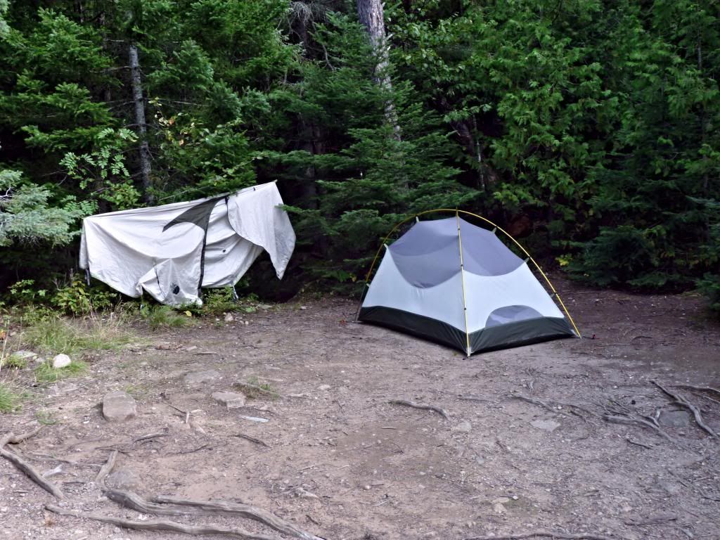
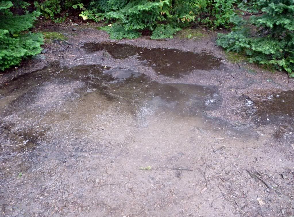
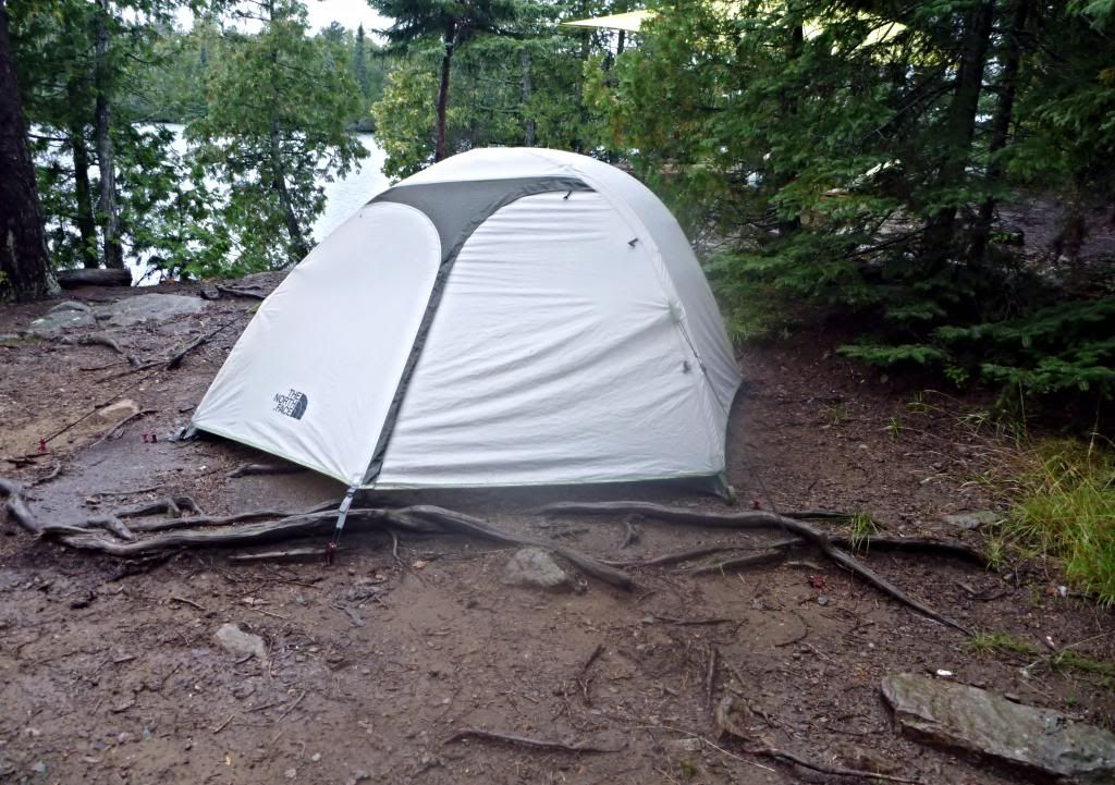
At 12:45 PM, the rain is a torrential downpour and rivers are running through the camp. The tent is in a puddle rapidly becoming a pond. I take advantage of a slackening of the rain at 1:15 PM to wade out to the tent, uproot the stakes, and half-drag/half-carry the tent onto a sloping downhill, sidehill spot littered with roots and rocks. I wade back out and retrieve the once dry camp shoes that were stored in the vestibule. Then the rain stops.
I take advantage of the lull in the storm to move around, take some pictures, and have a cup of coffee. The deluge continues with thunder at 3:30 PM; it’s breezier and cooler now. When the rain dwindles to a light sprinkle at 4:00 PM, I head to the tent for another layer just in time to sit out another downpour in the tent. I discover it’s dripping from the very top of the tent onto the edge of my sleeping bag so I move it to the side and hope the drip quits. I tighten the fly as much as I can when I get out of the tent.
I have Outdoor Herbivore’s Chunky Chipotle Chile (620 mg sodium) for supper. It’s a little soupy to start with and has a dry spot and some “crunchies” at the bottom – apparently I didn’t get it mixed thoroughly. It’s very misty right now, but not really raining. The forecast is still the same, maybe a slightly higher chance of rain in the morning. I’m tired of sitting in camp watching it rain. Once again I’m in the tent early to escape the mosquitos.
It didn’t rain much more last night, just a little drizzle here and there. It is very cloudy and the forecast is a 40% chance of thunderstorms from mid-morning through the afternoon with increasing winds. I decide to move on out this morning and go as far as I can.
I depart at 8:30 AM - just can’t seem to get on the move any faster than that. As I load the canoe, a couple of guys paddle down the lake and as I head down that way they seem to be looking for the portage. They disappear around the corner towards where it is and I arrive a few minutes later after a short paddle in light rain. There is no sign of them – they have disappeared into the Polly Triangle, never to be seen again.
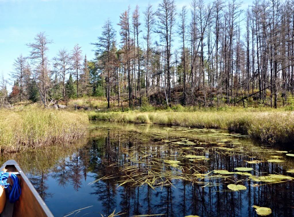
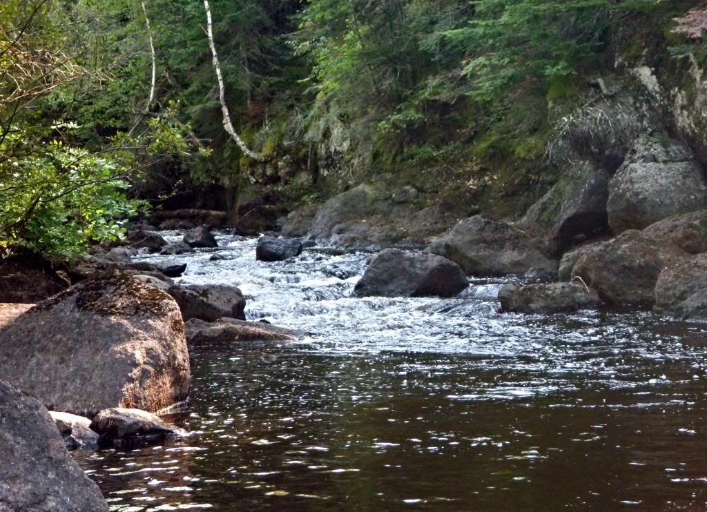
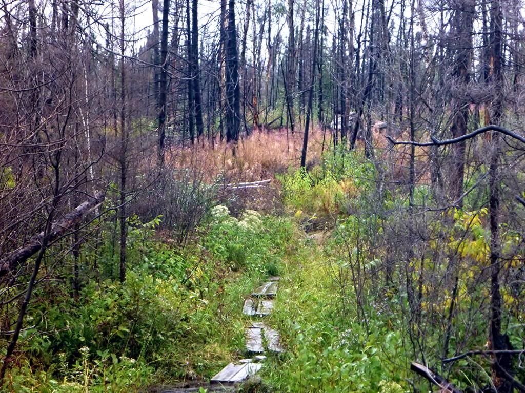
I portage across to Townline Lake and the short paddle across Townline brings me to the 189-rod portage to Kawasachong Lake. The portage is through the edge of the burn area from the Pagami Creek Wildfire two years ago. The trees are black and lifeless, but the there’s a lot of color from the grasses, flowers, and bushes. It takes me about an hour to double portage to Kawasachong Lake. The west wind is increasing and sweeps across the low land to the west of Kawasachong Lake and pushes the canoe, but I work my way down the west shore and enter the river towards Square Lake.
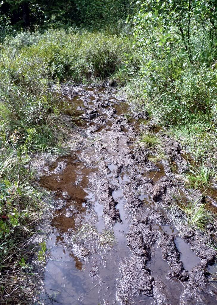
The paddle is enjoyable until the final portage into Square Lake, which is a mud fest about three to four times its normal length. I almost lose a shoe in knee-deep mud while carrying the canoe. I set the canoe down, retrieve my shoe, tighten both shoes, pick up the canoe and carry it and the pack across to Square Lake.
The west wind is pushing rollers across Square Lake under very dark low clouds as I paddle out into the main part of Square and head down the east shore looking for the outlet to Kawishiwi Lake. I miss it and must turn around and paddle back into the bay where it must be. It’s hidden behind a little corner and I’m not sure of it until I’m around the corner and into it.
I take my time and enjoy the paddle from Square to Kawishiwi Lake, imagining that Kawishiwi will really be rolling compared to Square. I pause on the journey to study the map while I have a ProBar (170 mg sodium) for lunch. I decide I can hug the west shore when I reach Kawishiwi and hole up at one of the two northwest campsites.
Kawishiwi Lake is actually quite benign compared to Square Lake, the west shore protected by hills and it’s an easy paddle to the landing and Kawishiwi Lake Campground. It begins to rain just as I get there, but the rain is light and brief.
Excerpt from “Song of Myself”, #52, Leaves of Grass, Walt Whitman
The spotted hawk swoops by and accuses me, he complains of my gab and my loitering. I too am not a bit tamed, I too am untranslatable, I sound my barbaric yawp over the roofs of the world.
The last scud of day holds back for me, It flings my likeness after the rest and true as any on the shadow’d wilds, It coaxes me to the vapor and dusk.
I depart as air, I shake my white locks at the runaway sun, I effuse my flesh in eddies, and drift it in lacy jags. I bequeath myself to the dirt to grow from the grass I love, If you want me again look for me under your boot-soles.
You will hardly know who I am or what I mean, But I shall be good health to you nevertheless, And filter and fibre your blood.
Failing to fetch me at first keep encouraged, Missing me one place search another, I stop somewhere waiting for you.
Wednesday, September 11, 2013: I return the canoe to Sawtooth Outfitters and wander north to Grand Marais and a quick stroll on Artists’ Point. After lunch, ice cream, and a double espresso, I drive to Duluth and check in at Motel 6. I spread some of my gear out to dry a little and do a load of laundry before heading to Duluth Grill for a nice dinner.
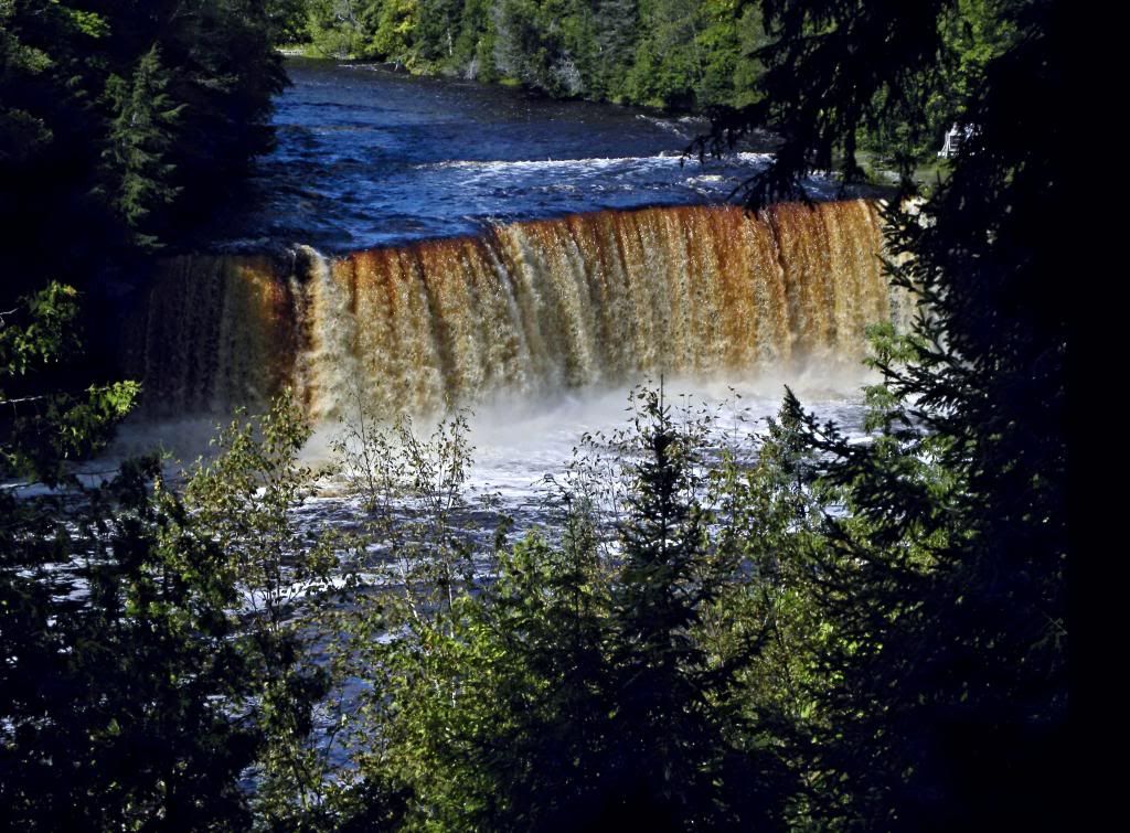
Afterwards I buy a postcard of the falls to send to Sara and then I order an ice cream for me and one for Sara, and eat them both since she’s not here. But someday Sara will come to see the great Tahquamenon Falls. I hit the road for Saginaw and Motel 6.
The End


