BWCA Entry Point, Route, and Trip Report Blog
January 07 2025
Entry Point 51 - Missing Link Lake
Number of Permits per Day: 5
Elevation: 1498 feet
Latitude: 48.0731
Longitude: -90.8301
Missing Link Lake - 51
2012 BWCA trip (Brant Lake entry)
Entry Date:
September 22, 2012
Entry Point:
Brant Lake
Number of Days:
7
Group Size:
4
[paragraph break]
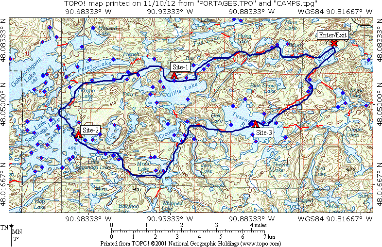
This route is the one we had planned for 2011 but had to change due to the Pagami Creek fire. The route will take us through areas that were hit hard by the Cavity Lake fire (2006) and the Ham Lake fire (2007). We were looking forward to seeing an area 5 – 6 years after large fires went through. Even though the first 2 travel days would be spent in burn areas, the lakes we would camp on were just slightly affected by the fires. This provided us with some very nice campsites. [paragraph break]
Checking the forecast the day before we entered, it looked to be a pretty nice week. The first day (Saturday) would be fairly miserable, but after mid-day Sunday, there was no mention of precipitation and only light winds. This sounded very nice, even with the cooler temperatures that were forecast. Well, the first day was right, but a couple of the other days were a little off. Monday we ended up spending an extra rest day on Gillis due to the high winds. Tuesday afternoon and evening gave us several passing showers after the morning started out just perfect. [paragraph break]
We had traveled the first day of this route back in 1992. So along with the miserable weather, we knew we were in for a fairly rugged travel day. After that, the rest of the route would be new to us and looked to be very easy travel except maybe for the 360 rod portage on our last day. This proved to be true, and after the first travel day, was a very enjoyable trip. [paragraph break] [paragraph break]
[paragraph break]Saturday, September 22, 2012[paragraph break] Day 1: Round Lake to Gillis Lake (6 miles, 8 portages, 415 rods; low=34 high=44) [paragraph break] After a comfortable night in the Tuscarora bunkhouse, we’re up, dressed, packed, and to the ‘mess-hall’ by 7:00. We were actually there before 7:00 so we shot a few baskets while we waited. After their very good French toast breakfast, we’re on our way to the parking area for the Brant Lake entry. We unload, park the vehicle and began paddling by about 8:30. Immediately we saw the results of the Ham Lake fire. The entire western half of Round Lake had been burned.[paragraph break] 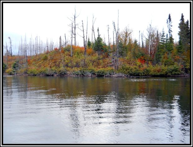 [paragraph break] Northwest shore of Round Lake
[paragraph break]
By this time, the temperature was nearing 40, along with a 10 – 15 mph WNW wind. We also had frequent squalls pass through that were accompanied by 20 – 25 mph gusts. The squalls varied from rain, to sleet, to snow; usually a combination of two or all three of these. Yep, this was the miserable weather we expected from the forecast. Luckily, all the lakes we were traveling through were small, so no large/dangerous wave action, just enough to keep you alert.[paragraph break]
We weren’t so lucky with the portages. Even though we had traveled through this area before, we didn’t remember anything about the portages (it was 20 years ago after all). We only remembered that it was a rough travel day. There are only 8 portages, and none over 100 rods, but 4 were not nice. The first one (85 rods, Round – West Round) followed a very marshy area. It was nice & level but very wet and muddy. Craig decided to see how muddy & sunk up to his knees with the canoe on his shoulders. Based on his verbalizations, he was not happy.[paragraph break]
The next 2 portages (West Round – Edith and Edith – Brant) were not bad. The paddle through Brant Lake was very nice. The shoreline had been all burnt out, but this revealed some nice rocky hillsides and the underbrush provided some nice color.[paragraph break] 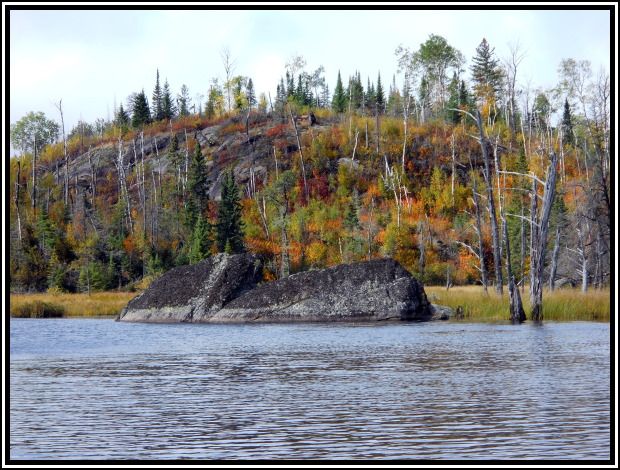 [paragraph break] Brant Lake shoreline[paragraph break]
[paragraph break] 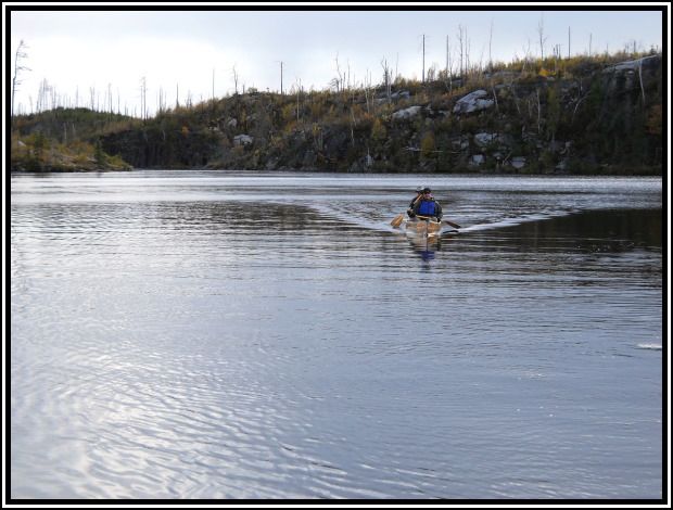 [paragraph break] Craig & John approach the portage
[paragraph break]
The next 3 portages (Brant – Gotter, Gotter – Flying, Flying – Green) all started with a very steep climb and ended with a very steep descent. During the descents, you really had to watch your footing as the snow/sleet had made the rocks and trails very wet and slick. Flying and Green lakes were the first lakes that didn’t show signs of the Ham Lake fire. Flying Lake has some very impressive rock walls along the west shore just beyond the portage to Green Lake. [paragraph break] We had been traveling, along with another canoe with an older guy and young guy. They were just in on a day-trip, to check out the area they would return to for their moose hunt in a few weeks. In their words, they were traveling “light and fast”. However, we seemed to catch up to them at each portage and we passed them on the portage into Flying Lake. From there, they turned north to Bingshick and we continued west to Green. We had seen no other travelers since Gotter (and they were going in the other direction), so on the Green Lake end of the portage, we took a short break. We drank some juice and ate some fruit as breakfast was beginning to wear-off. [paragraph break] We then finished our travels for the day, going from Green to Bat, to Gillis. The entire NW shore of Bat showed the results of the Cavity Lake fire. The first campsite on the south shore looked to be pretty nice, but the view across the lake was pretty baron. Once on Gillis, we had planned to shoot for the site on a point along the west shore. On our way by, we stopped at the second site along the north shore and checked it out. This site looked very nice, even though the tent pads weren’t real level. It was now about 2:00, so we decided to take it. We set up camp and relaxed for a short time, those 3 steep portages had taken a toll on all of us. At this camp, the tents were at opposite ends so you couldn’t even see one from the other. [paragraph break] 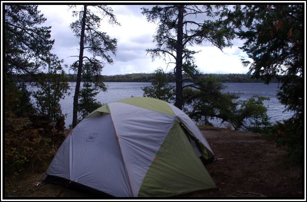 [paragraph break] Chris’ tent at Gillis Lake
[paragraph break]
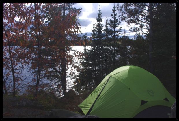 [paragraph break] Craig’s tent at Gillis Lake
[paragraph break]
Since we hadn’t had our regular lunch, we decided to have an early supper instead. This would allow us to hit the tents early tonight, which we were all planning to do. The steaks, rice pilaf, raspberry desert, and wine were all very good and properly enjoyed (even though it was a white zin rather than red). We finished supper and dishes by 6:00. Since it was still overcast, we didn’t have any hope for a sunset. After a short social time we cleaned up camp and headed to the tents before 7:00. We were all beat after a fairly rugged travel day. In the dim evening light some colors seemed to pop. Also, looking to the east, the clouds and the rippled reflection in the lake caught a little color.[paragraph break] 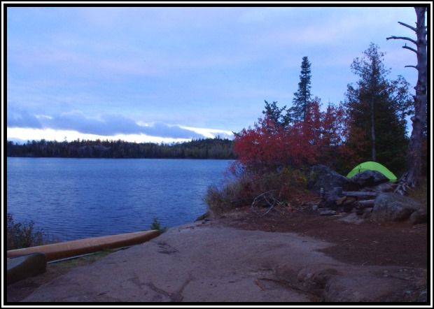 [paragraph break] Craig’s tent & the red bush standout in low light
[paragraph break]
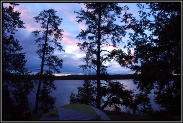 [paragraph break] Looking east caught a little color
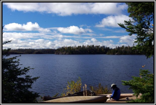 [paragraph break] John reading on a cool morning
[paragraph break] By lunchtime, the clouds had mostly cleared out. The wind was blowing at about 15 mph so we decided against any day-trip; none of us had that much energy anyhow. After lunch, Craig & John took their relaxing a little more serious. Even with the cooler temps, out of the wind and with the sunshine, it felt very nice. We spent the afternoon reading and relaxing.[paragraph break] 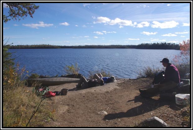 [paragraph break] Serious relaxing
[paragraph break] Since it was a lazy rest day, we didn’t need a big supper so we opted for the stroganoff. We had supper and finished cleanup by about 6:30. Some clouds moved through but didn’t entirely block out the sun. We poured our Barons and waited for what we hoped would be a nice sunset. We weren’t disappointed. One of the nicest sunsets we’ve had in a few years. The eastern horizon had a purple glow and the high clouds caught some good color.[paragraph break] 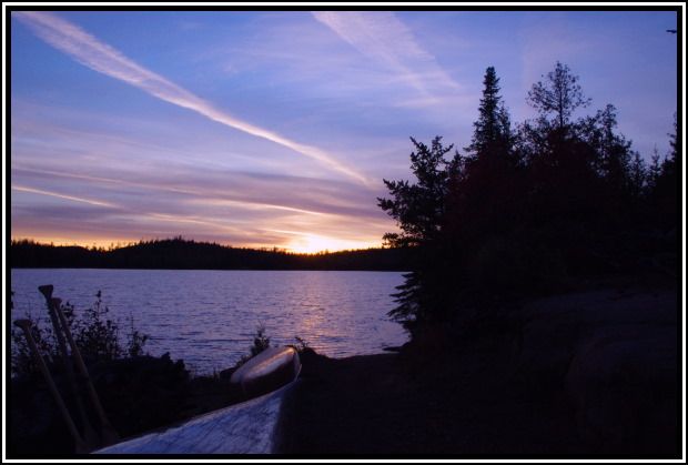 [paragraph break] The sunset begins
[paragraph break] 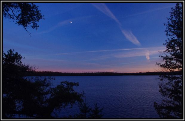 [paragraph break] Looking southeast with a glow along the horizon
[paragraph break] 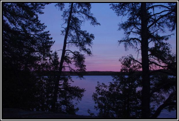 [paragraph break] A purple glow along the ENE horizon
[paragraph break] 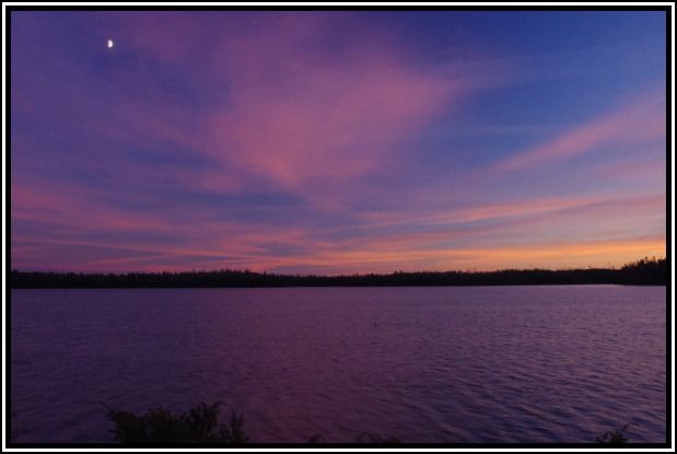 [paragraph break] High clouds catch some color
[paragraph break] As the sun got lower, the color to the west continued to intensify. [paragraph break] 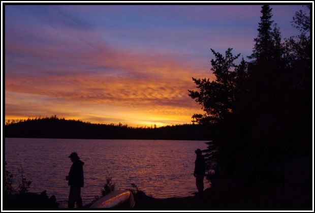 [paragraph break] Chris & John enjoy the colors
[paragraph break] 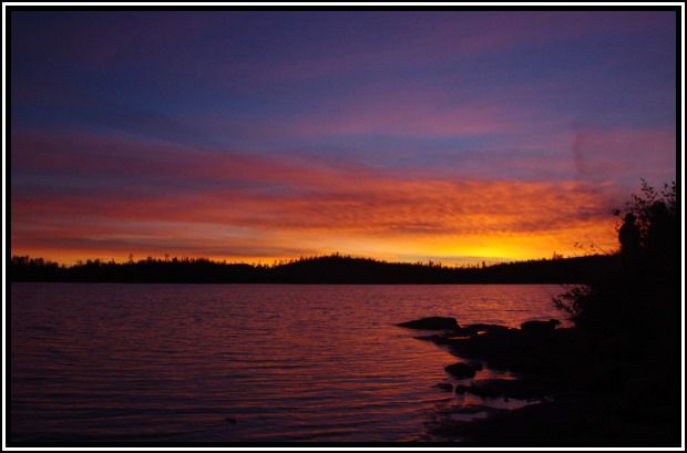 [paragraph break] Colors deepen as the sun continues to set
[paragraph break] 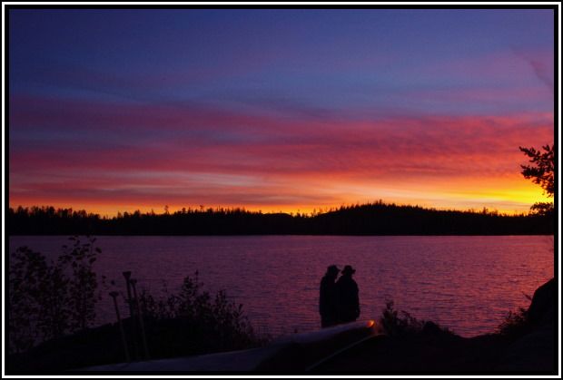 [paragraph break] Chris & John continue their watch
[paragraph break] 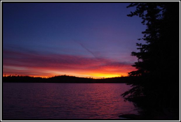 [paragraph break] The last of the color
[paragraph break] We watched as the stars came out and then turned in shortly after 8:00. I read for about an hour and then lights-out. The wind picked up overnight and I began to wonder if it was blowing in some rain. I got up once during the night, about 4:15. I saw a very starry sky that relived my thoughts of rain.
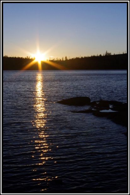 [paragraph break] Sun sets on a clear evening
[paragraph break] 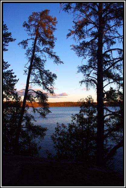 [paragraph break] View to the east
[paragraph break]
We did another check of the weather radios and no mention of rain from now through Sunday, so looks good for the rest of the trip. Hit the tents shortly after 8:00 to get plenty of rest for our travel day tomorrow. Up once about 3:30, a very starry night with the stars reflected in the lake.
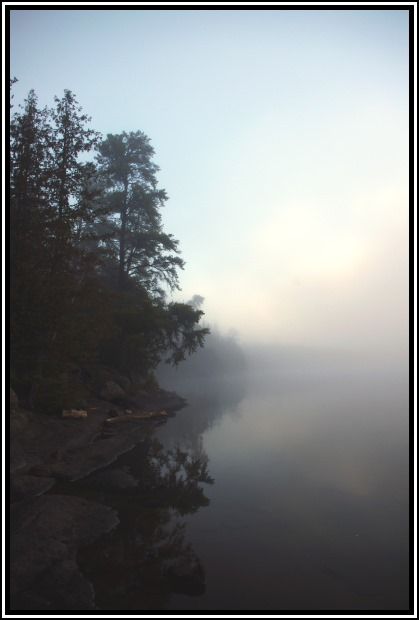 [paragraph break] Fog covers the lake
[paragraph break] Started breakfast and began breaking camp. It was a cool morning, but with no wind, wasn’t bad. After breakfast, the sun was high enough to burn-off some of the fog. I took some photos as we continued breaking camp. [paragraph break] 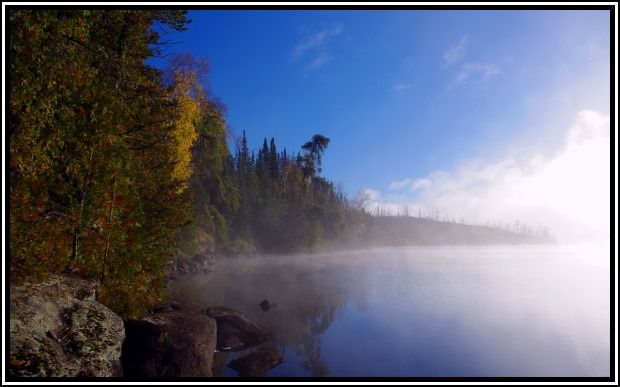 [paragraph break] Fog begins to burn off
[paragraph break] 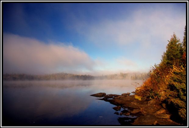 [paragraph break] Looking southwest as fog clears
[paragraph break] 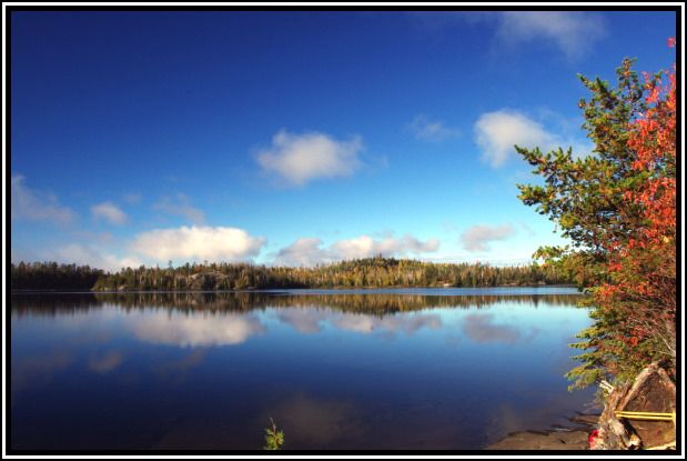 [paragraph break] All clear by the time we leave our camp
[paragraph break] We departed about 9:30, a little later than usual due to my photo taking as we broke camp. It was a perfect morning for paddling. The calm waters this morning made for much nicer traveling then yesterday would have.[paragraph break] 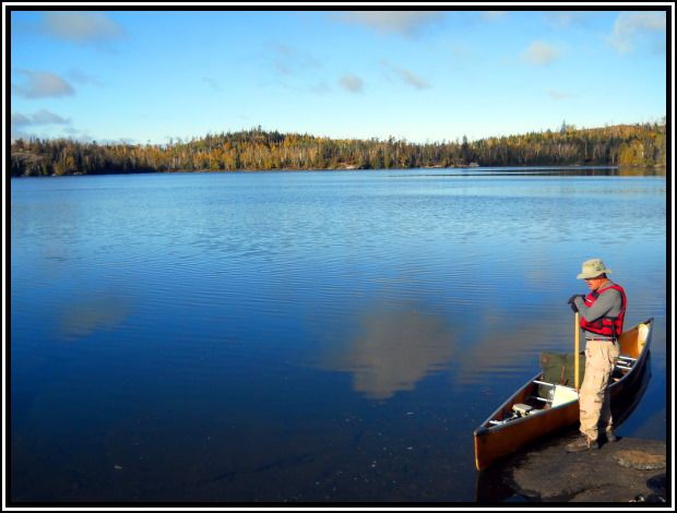 [paragraph break] John’s ready to go
[paragraph break] 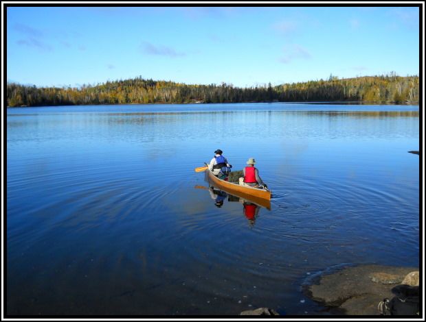 [paragraph break] Craig & John head out on a beautiful morning
[paragraph break]
The small lakes we traveled through today were hit hard by the Cavity Lake fire. Campsites on French, Powell, West Fern, & Virgin were closed because of the fire. The west one on French and south one on Powell looked like they could still be used. By the time we got to Virgin Lake it was completely overcast, after such a beautiful start to the day.[paragraph break] 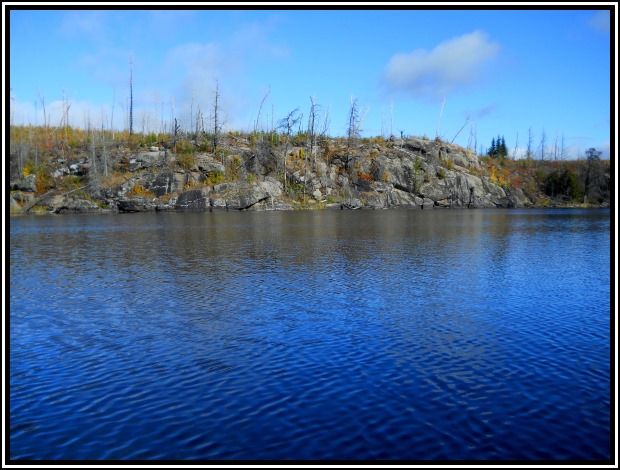 [paragraph break] French Lake shoreline
[paragraph break] 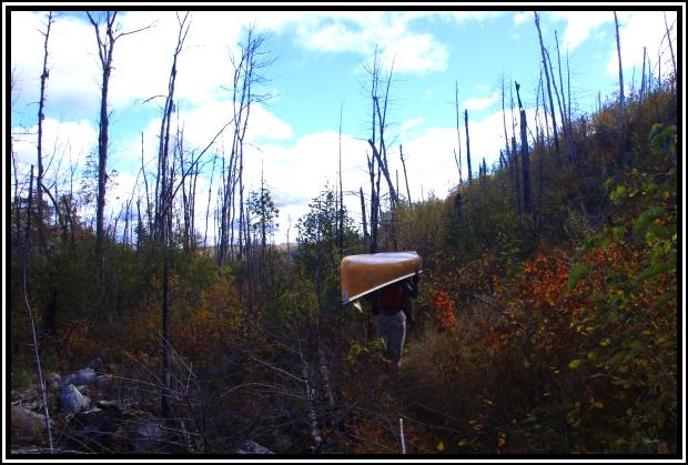 [paragraph break] Portage into Powell Lake
[paragraph break] 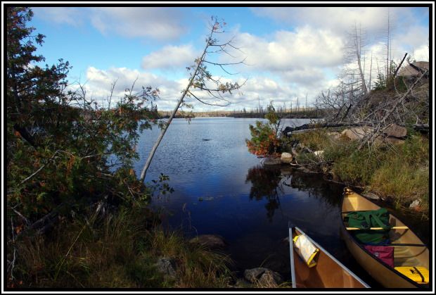 [paragraph break] Canoes ready to launch – Powell Lake
[paragraph break] 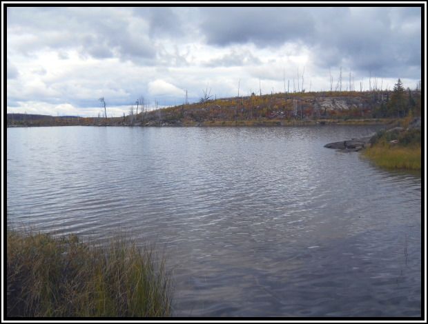 [paragraph break] Virgin Lake
[paragraph break] The 90-rod portage into Little Sag was burned out. Because of this, we had a spectacular view of Little Sag as we cleared the ridge along the portage from Virgin Lake.[paragraph break] 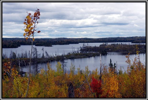 [paragraph break] View of Little Saganaga Lake from the ridge
[paragraph break] 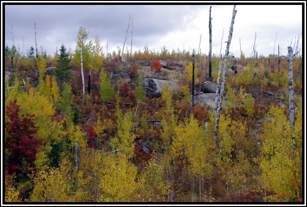 [paragraph break] Craig & John along the portage (upper right)
[paragraph break] As we started out on Little Sag, it looked like rain from some of the clouds to our west, even though there had been no mention of rain on the weather radio the previous night. We stopped at the point, before leaving the bay, to put on our rain gear. Just as we stopped it started to rain. A few passing showers continued until we reached our campsite along the east shore of Little Sag. It was now about 12:40, so just 3 hours of travel today. [paragraph break] As we pulled into camp we saw an eagle take off from a tree just above and behind our site. John & Craig saw another one still sitting in the tree. They went up to find the latrine and said the eagle was still there. I went up hoping to get a shot of it. I was able to get a couple before it took off and a couple of it in flight.[paragraph break] 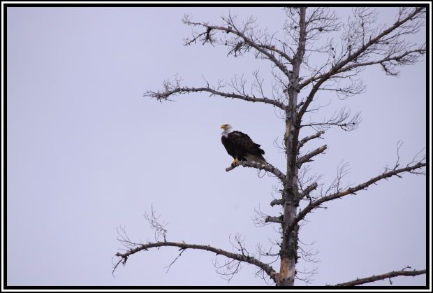 [paragraph break] Eagle looking over the lake
[paragraph break] 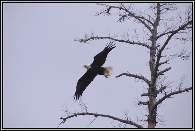 [paragraph break] Decided I was too close
[paragraph break] We then had lunch and setup camp. There was no sunshine, but the rain stopped long enough for the tents and rain flies to dry out. After setting up camp, I hiked up to the top of the rocks behind our site for some great views of Little Sag. Even with the low overcast, I took some shots of the nice aerial view of the lake.[paragraph break] 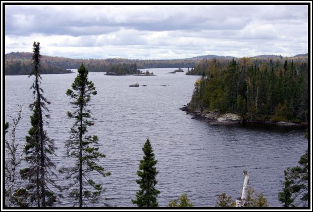 [paragraph break] Little Sag looking southwest
[paragraph break] 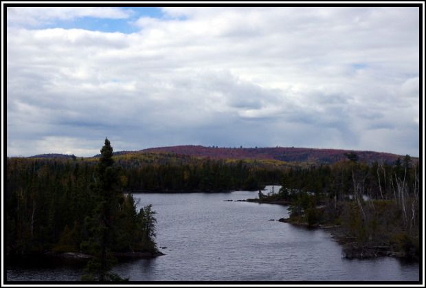 [paragraph break] Little Sag looking northwest
[paragraph break] Supper was sweet & sour chicken, not bad. We had our Barons as we waited and hoped for a sunset. There were just enough breaks in the clouds for a passing shower and clouds to catch a little pink. Finished our Barons and turned in shortly before 8:00. Passing showers continued until about midnight. Got up shortly after midnight and the sky was full of stars, giving us hope for a clear day tomorrow.[paragraph break] 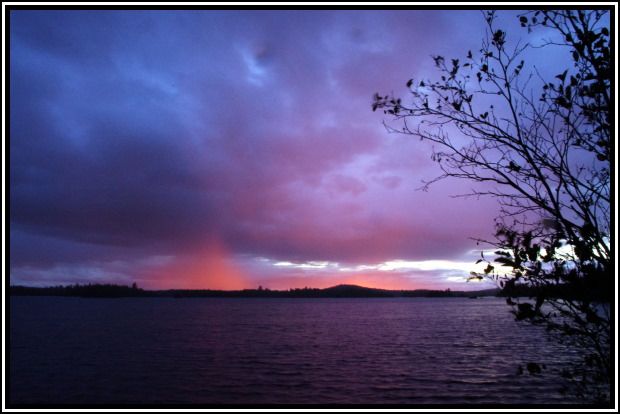 [paragraph break] The clouds and a passing shower catch some color from the setting sun
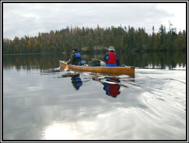 [paragraph break] Craig & John on Little Sag
[paragraph break] 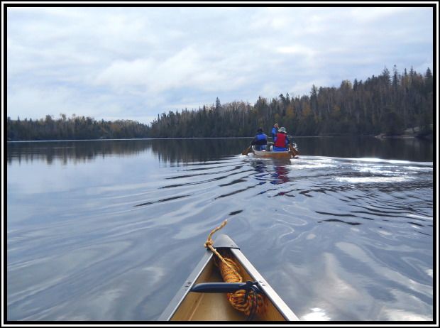 [paragraph break] A calm morning on Little Sag
[paragraph break]
We hoped that today would be just the opposite of yesterday, start out overcast but end up clear. The portage to Mora Lake follows the Frost River and is a very pretty portage. Took time along this portage to snap several photos.[paragraph break] 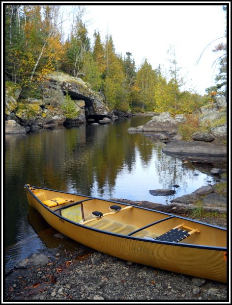 [paragraph break] Little Sag landing
[paragraph break] 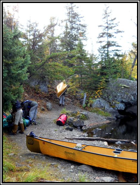 [paragraph break] Set the packs together before 1st trip
[paragraph break] 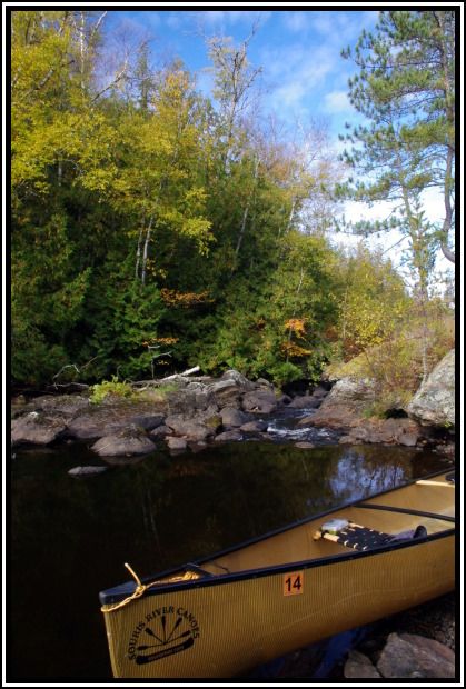 [paragraph break] Mora Lake side
[paragraph break]
We passed through Mora, Tarry, Crooked, and Owl lakes before reaching Tuscarora. Owl & Tuscarora are the first lakes we’ve passed through that showed no signs of either the Cavity Lake or Ham Lake fires. We head for the island campsite right in the middle of the lake. This site was open, and is a very nice and level site, so we claim it.[paragraph break] 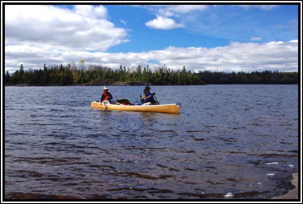 [paragraph break] John & Craig arrive at our site on Tuscarora
[paragraph break] We arrive about 1:00, so another short travel day of only 4 hours. We have lunch and then setup camp. The day indeed was clearing out to become a nice sunny afternoon. [paragraph break] 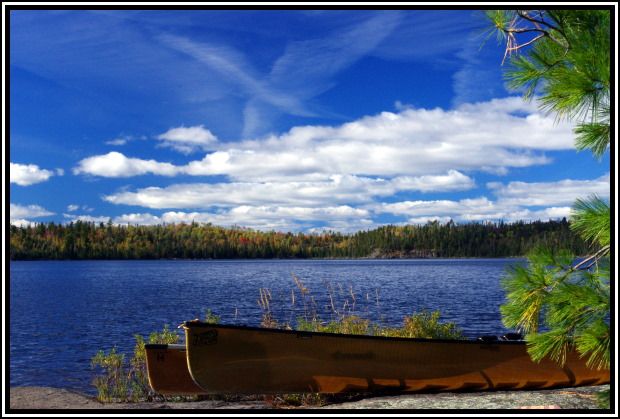 [paragraph break] Sunny afternoon on Tuscarora
[paragraph break] After camp was set up, we still had a couple hours to relax and enjoy the sun. This entire day we did not see another person. This surprised me as I thought we would be sharing Tuscarora with several other groups. [paragraph break] We started supper about 5:00. Chicken & wild rice casserole was very good and requested by all for future trips. Finished clean-up by 6:30 and enjoyed some apricot brandy on the rock shelf as we waited for the sunset. All the clouds had dissipated by now and the completely clear sky did not produce any color. We continued to talk and enjoy the evening twilight until the stars came out. The temp was falling fairly rapidly, so we retreated to the tents shortly after 8:00. Read a couple chapters and lights out about 9:00. [paragraph break] When I got up about 3:30, the nearly full moon was setting right over the island to our west. With the fog rising behind the island, along with the reflection in the lake, made for an awesome scene. I tried a few quick shots, but with the temps in the 30s and me not dressed for it, I didn’t spend much time trying. [paragraph break] 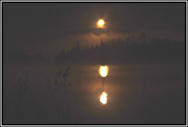 [paragraph break] Moonlight reflection
[paragraph break] Didn't work real well but you can get the idea.
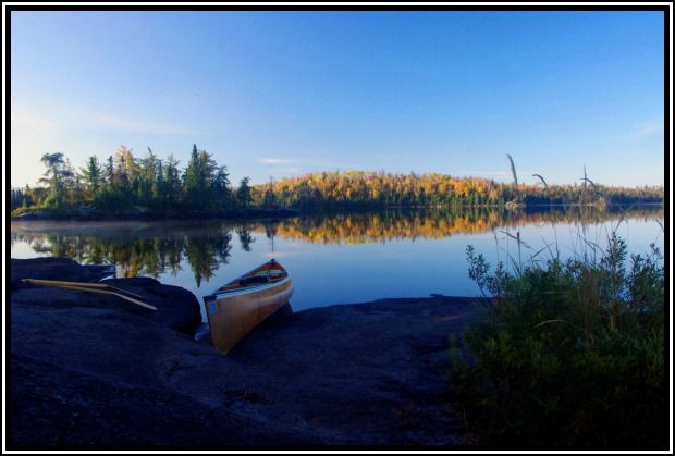 [paragraph break] Calm morning on Tuscarora
 [paragraph break]
This was a planned rest day so no hurry doing anything. After breakfast & clean-up, we took our first group shot.[paragraph break] 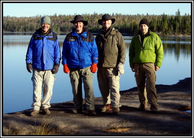 [paragraph break] Morning group shot (mid 30s)
[paragraph break] We then spent the rest of the morning exploring the island (a small island so that didn’t take long) and doing some reading. By lunch time the sun had already warmed it up to 58 degrees. After lunch, Chris & John went for a paddle around the lake while Craig & I cleaned up and read.[paragraph break] 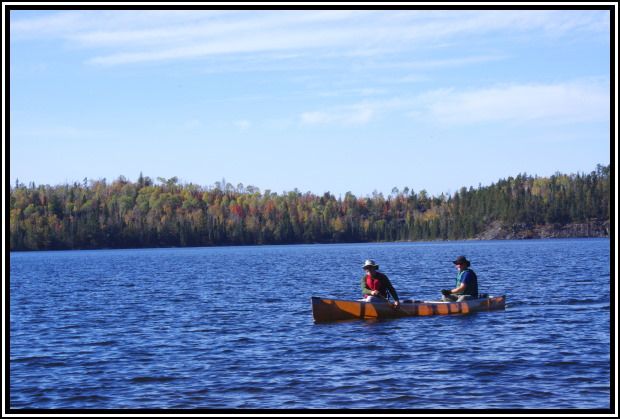 [paragraph break] John & Chris out for a paddle
[paragraph break] When Chris & John returned from their paddle, we took our second group shot, it was about 30 degrees warmer than our first shot.[paragraph break] 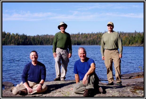 [paragraph break] Afternoon group shot (mid 60s)
[paragraph break] We had gone from our coolest morning to our warmest afternoon. After seeing no one all day yesterday, we’ve already seen 4 groups today. Being a Thursday on a popular destination lake, we weren’t surprised. [paragraph break] Since this was our last full day in the BWCA, we thought an evening campfire would be nice. Due to the very dry conditions the area has seen, we hadn’t had one all week and looked forward to it our last night. We had our supper (Mexican) and finished clean-up. We still had a little time before 7:00 to relax and watch as the sun set. The sun set behind the island to our west and Craig took a stroll along the shoreline.[paragraph break] 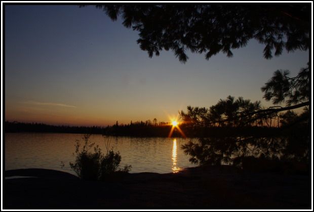 [paragraph break] Sun sets behind the island
[paragraph break] 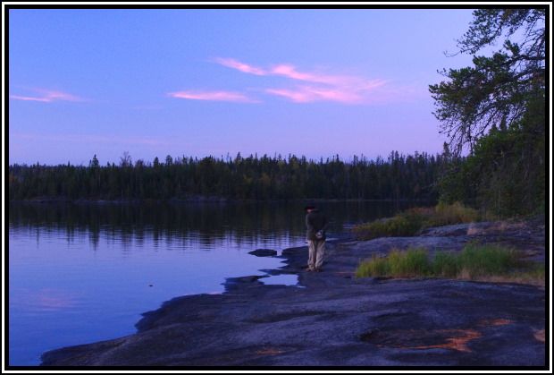 [paragraph break] Craig takes an evening stroll
[paragraph break] Shortly after 7:00 we got the fire going. As we were enjoying it, I decided to try and get a shot of the fire. When I was setup and ready to shoot, John stoked it good with some dry pine branches to help light the scene. The nearly full moon peeking through the tree tops completed the setting.[paragraph break]  [paragraph break] Crew enjoys the campfire
[paragraph break] After enjoying our time around the fire, we let it burn down and doused it good. We headed to the tents shortly after 9:00. I read for about ½ an hour and then lights out.
Day 7: Tuscarora Lake to Round Lake (4 miles, 2 portages, 500 rods; low=44 high=60)[paragraph break]
Woke up to a beautiful still morning. Took several photos as we had breakfast and broke camp.[paragraph break] 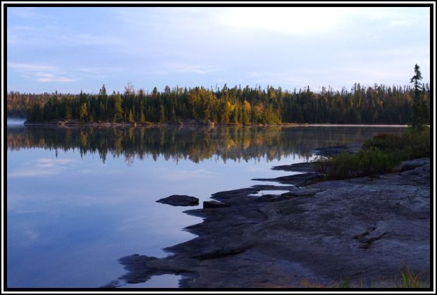 [paragraph break] Looking east from the front of our site
[paragraph break] 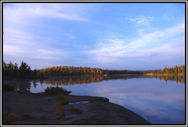 [paragraph break] Looking west
[paragraph break] It was our last day and we only had 4 miles to go, so we were in no hurry. It was nearly 9:30 by the time we headed out.[paragraph break] 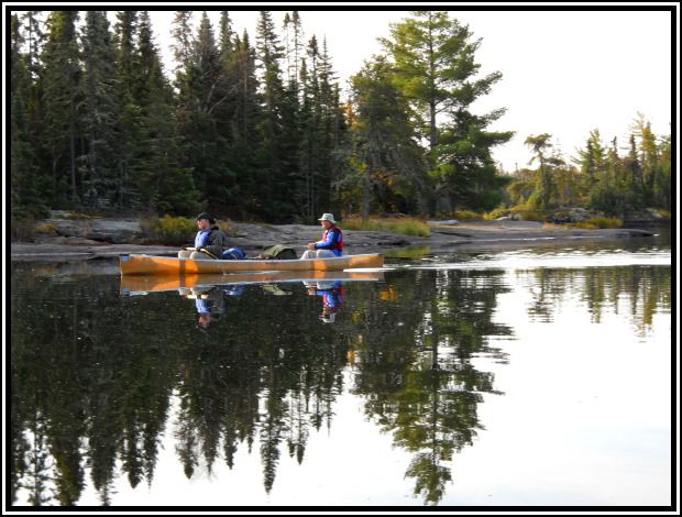 [paragraph break] Leaving our site on Tuscarora
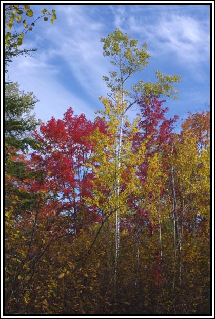
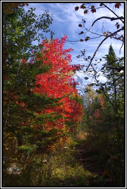
[paragraph break] It was another perfect morning to paddle. After a beautiful paddle across Tuscarora, we reached the longest portage of the trip. This portage is just over a mile long. It started out with a steep climb but then was not bad with just one other short, steep climb about 2/3 of the way through. We took our time and enjoyed some very nice fall colors along this portage. I got a few shots on my second trip across.[paragraph break]
Some fall color along the Tuscarora to Missing Link portage[paragraph break] 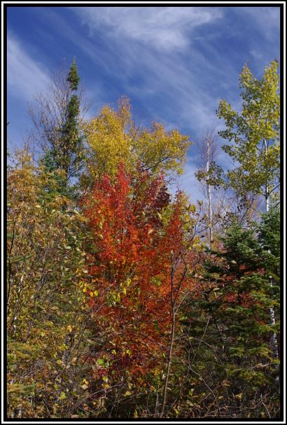 [paragraph break]
[paragraph break] At the other end of the portage we arrived at Missing Link Lake. The long, narrow bay leading to the lake was well sheltered and provided a nice reflection of some color along the shoreline.[paragraph break] 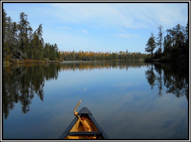 [paragraph break] Southern bay on Missing Link Lake
[paragraph break] When we got to the last campsite before the portage to Round Lake, the shoreline had quite a bit of color. This shoreline and the campsite looked like it could be pretty nice.[paragraph break] 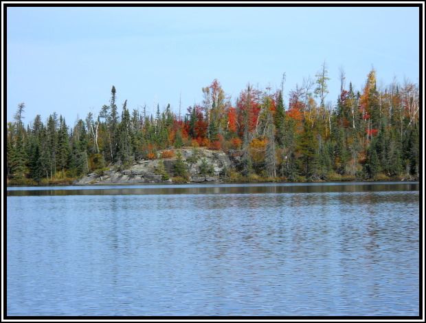 [paragraph break] Campsite in northwest section of Missing Link Lake
[paragraph break] Looking to the shoreline across the lake, results of the Ham Lake fire were again clearly visible. We had come full circle now and the shoreline void of trees reminded us of the fire that occurred five years earlier. [paragraph break] We completed the last portage to Round Lake and were back to our point of entry by about 12:30. We loaded up the vehicle and then headed to Tuscarora Outfitters for a shower. We then had to stop at Trail Center for a very tasty burger (fish sandwich in one case) before heading down the trail and back home. Last year, it was nice to have Dennis as a fill-in, when Craig wasn’t able to make the trip. This year, it was nice to have Craig back and our regular crew together again. Now, where to go next year?


