The historic pictograph route
by TuscaroraBorealis
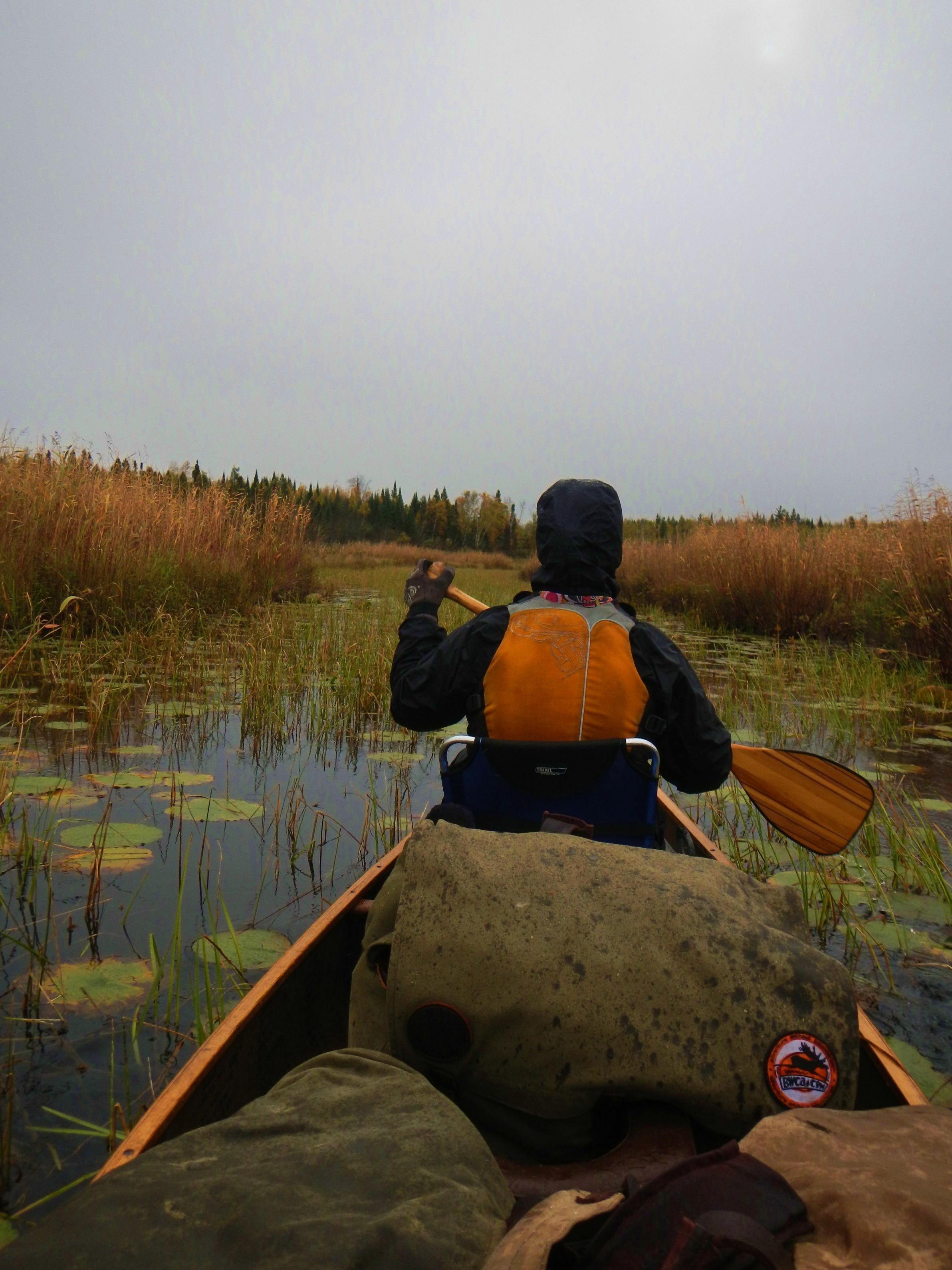
We wake early to snowflakes floating in the crisp autumn air. I get a fire started, while Vickie prepares hot chocolate & oatmeal for breakfast. At this point in the trip, we’d become fairly adept at getting camp packed away quickly & efficiently. Once on the water, we paddled almost directly east then rounded the large peninsula into the lower lobe of Back Bay. At first flash, looking at the map, it appears that this is a large body of water. And, indeed it is just that. What the map doesn’t show is that a short distance south of the peninsula, the vast majority of the bay is choked with wild rice; leaving only a river like channel for unimpeded paddling.
As one might expect, we scared up countless waterfowl paddling down the bay. Certainly there were countless more concealed in the reeds. A trio of bald eagles was seen as we approached the islands in the south end. Without a doubt, we had seen more birds of every variety on this trip than we had on any trip prior. And Back Bay was absolutely a haven, which topped the list.
The upper lobe of Hoist Bay is much the same. The reeds & weeds finally give way once we enter the main body. Hoist Bay was once a hub of activity. It was here to this bay that the logging companies would float their logs so they could ‘hoist’ them onto the rail cars so the 40-ton Brooks locomotive could haul them to the saw mills in Winton. Thus explaining how Hoist Bay earned its name.
Accounts of travelers who started their trips here in those days, mention having to cross over large booms of logs before they could find navigable water. There is still clear evidence of this activity in the vicinity. In fact, had we decided to stay in another day, we wanted to explore the historic 4-mile portage. As it was, we just paddled around the pilings at the terminus of the old line. Rain started to fall, hastening our departure.
The outlet of Good Creek was also located at this very spot, so we were able to quickly duck out of the escalating wind & waves without much further ado.
Good Creek & Lake were named for G.H. Good. Superintendent of logging operations for Swallow & Hopkins Company until the mill shutdown in 1922. This company was responsible for logging more of the virgin red & white pine in (what is now) the present day BWCAW than any other firm. (600 million board feet - according to Miron Heinsemans’ book, “The Boundary Waters Wilderness Ecosystem”)
Good Creek was comparable to the other small streams we’d paddled already this trip. Fortunately we only encountered one beaver dam, and though extraordinarily weedy, we had floatable, paddle able water the entire distance until Good Lake.
Just before Good Lake there is a small rock/beaver dam that we had to portage around. Once we pulled the packs out of the canoe, we were able to just carry the canoe over this short rocky section, and then reload on the other side. We pulled off at the narrows to take a short rest/snack break. The light rain that had started up in Hoist Bay now changed to snow & sleet. The wind was starting to kick up some waves, but at least it would be at our backs until we got to the Hula portage.
This portage climbed out of Good Lake along a pretty decent path, emerging out on Hula Lake at somewhat of a sandy landing. Even though Hula Lake was full of wild rice, it provided some nice ‘change of pace scenery’ for a paddle through lake.
Much to Vickie’s’ angst the landing for our next portage was a huge mud hole. Fortunately there was a tiny creek running in just off the landing, exposing a few boulders which provided solid footing. This landing proved to be the only concern along this short portage.
While paddling the northern arm, we hugged the western shoreline of Wood Lake. Once we rounded the point and started heading west we realized we would have one last battle with the rain, wind & waves to overcome if we wanted to paddle out today.
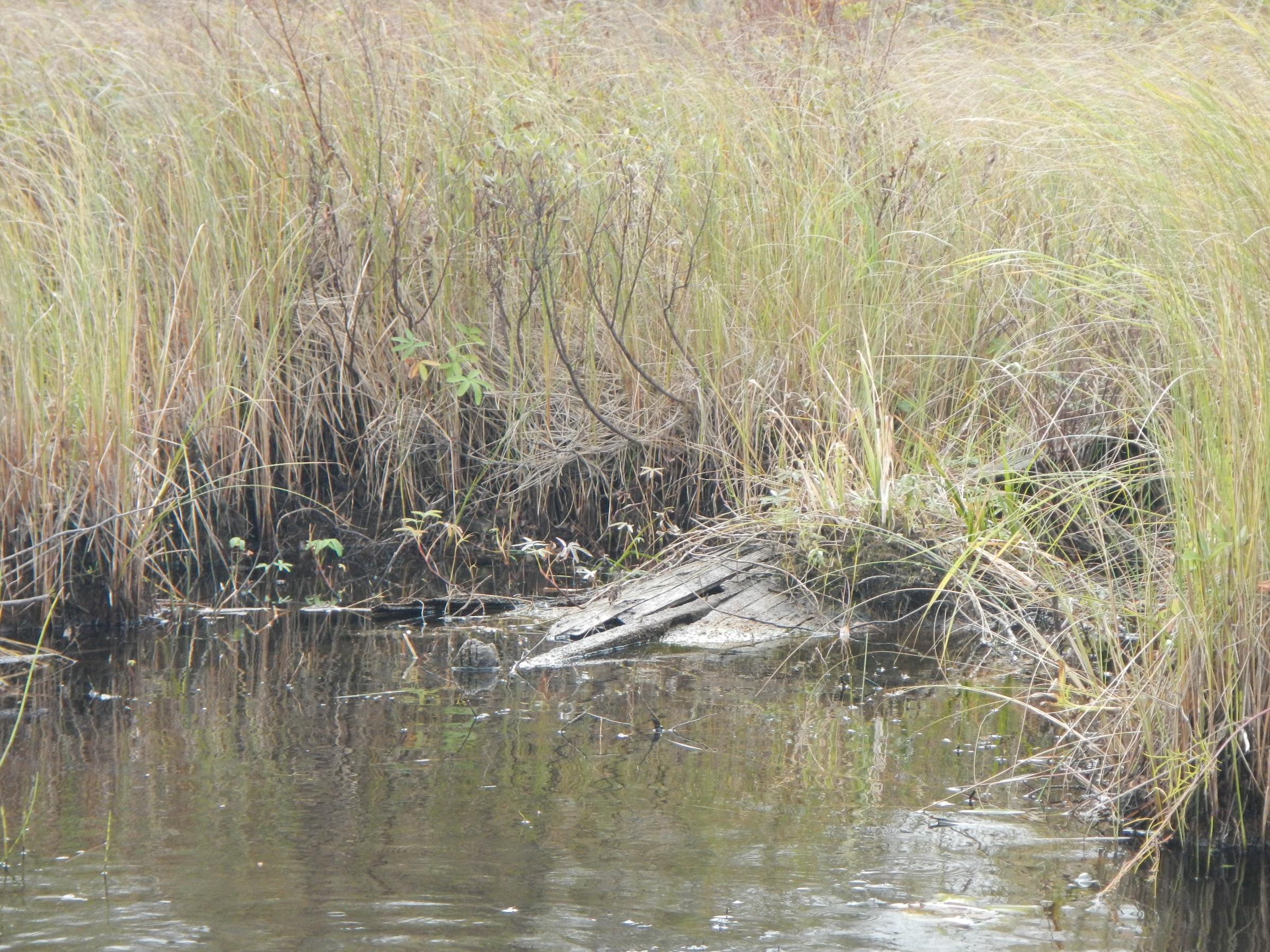
Fighting our way westward, we paddled past the occupied narrows campsite where a couple guys were fishing from shore. By the time we turned south and began tracing the eastern shoreline the rain had stopped, but the wind had intensified. Growing weary, Vickie needed to pull off to catch her breath. Fortunately, a nearby miniature little bay afforded us an ideal opportunity to pull over and duck out of the waves. As an added bonus, once out on the shoreline, Vickie found some really cool fragmented rocks. Continuing on; the waves started receding once we passed the last campsite. Nearing the large island at the entrance to the southern bay, we saw something large moving in the marshlands to the SW. Of course we felt we were about to be treated to moose sighting; an epic fitting finale to our adventure. As we hurriedly pushed on with renewed vigor, a shotgun blast instantaneously dashed our hopes. What we had seen were actually a couple of duck hunters! Finishing up the last leg of our paddle in the small creek, we paddled past an old dilapidate wooden boat just before pulling up to the landing. As somewhat of a shocking contrast, there were also a few completely intact aluminum boats on shore near the landing.
Our last portage was upon us. Always an experience fraught with mixed emotions. Of course there’s the melancholy of the adventure coming to an end. Yet, there is the eager anticipation of that big juicy burger waiting for us in town & of course a hot shower.
The portage slightly climbs out from the landing. Naturally this is a well worn, wide open path. Although, when heading out as we were, it has a big finish. Just past the wooden walkway there is a substantial hill to negotiate up to the parking lot. Having gotten my loads across, I was able to return back down the trail in time to relieve Vickie of her burden for the last leg of the portage. (Including the hill)
With the van loaded up we headed for Ely, where we stopped back at Spirit of the Wilderness to check out their end of the season clearance & let them know how our trip had gone. Next, to The Boathouse for burgers, and finally off to my parents for an overnight visit and, of course, the eagerly anticipated hot shower.
Going in, we knew this was a route that could (and would) present us with various challenges. In particular, getting to Gull Lake on our first day was at our limit of aggressiveness for a first day. Later on, there were also a couple other long portages & an assortment of muddy creeks and landings that we dealt with as well. Crossing a windy Basswood Lake was a hair rising ordeal; but, in the end, also qualified as another satisfying accomplishment. While there were some bumps in the road, in the final analysis, I believe we spread the trip out over enough days as to afford us an adequate amount of R&R to equalize things.
As we traveled through this route, there were countless reminders of days gone by. It amazes me when considering how far the BWCAW has come. Often I hear (or read) about folks fondly recalling ‘the good old days’ in canoe country when it was a REAL wilderness. For my money, I believe that today this area is more wild than it has been in the past century plus.
Consider our route. - There was large scale logging into the 1920’s. Smaller scale logging into the 1970’s. - While the rail lines were pulled up in the 1940’s, countless winter roads were used until the 1970’s. - Planes were allowed on all lakes into the 1950’s, some (Fourtown for example) into the 1970’s. - There was an illegal road built through the area to counter the air ban. - There were many resorts, and even homes, on a number of lakes into the late 70’s – early 80’s. In fact, an entire Indian tribe lived on Basswood Lake until the 1940’s! - Of course, motors weren’t banned until the late 1970’s (and in some areas the early 80’s).
Really the big drawback (if you want to call it that?) is the fact that today more people are attracted to the area mainly because these things are no longer allowed. So, achieving solitude can be more of a chore than it was back then. Still, in my opinion, running across another group of campers or canoeists is nowhere near the deal breaker that encountering a boat, plane or a recently active logging camp (and everything associated with it) would be. Predictably; we did see several other groups throughout our route, and, as stated earlier, we came across campsites that had been clearly abused. So there is, and always will be, drawbacks. But, even when considering these things in conjunction with the fact that it rained every day except our first; I can unequivocally affirm the fact that we had a tremendously good time. Simply stated; while things may not be perfect, I am grateful for the great many sacrifices that have been made over the years so we (and others) could enjoy this truly exceptional area.
Daily travels – 4 portages totaling 384 rods. Entire trip – 27 portages totaling 2511 rods.
Basswood, Good Creek, Good, Hula, Wood


 Donate - BWCA.com