|
 Boundary Waters Quetico ForumQuetico ForumTrant, Payne and Keewatin Pictos
|
Author
Text
")


04/05/2015 09:26AM
quote Kiporby: "Are the locations on the Fisher Maps / McKenzie Maps fairly accurate?"
Yep. Although I'd spend a little time searching close to the waterline on Keewatin. I believe there are a few more picto's there than are widely documented.
dd
"If you can keep your head when all about you are losing theirs" chances are you missed something. (Inspired by Rudyard Kipling.)
04/05/2015 11:02AM
"One inch on the map ~ is not one inch on the ground"
04/06/2015 09:14AM
quote Kiporby: "Thanks Rob. I think that Trant one was marked wrong on most maps. "
I stand corrected. I was using my McKenzie Maps for the trip down this set of lakes and had no problem finding the specified picto's. However, upon actually inspecting those maps I discover that the red dots marking the picto's are not printed on the maps, but rather hand drawn red dots. This means that I likely transferred their location based to the maps based on the contents of Furtman's "Magic on the Rocks" material.
dd
"If you can keep your head when all about you are losing theirs" chances are you missed something. (Inspired by Rudyard Kipling.)

04/08/2015 08:09PM
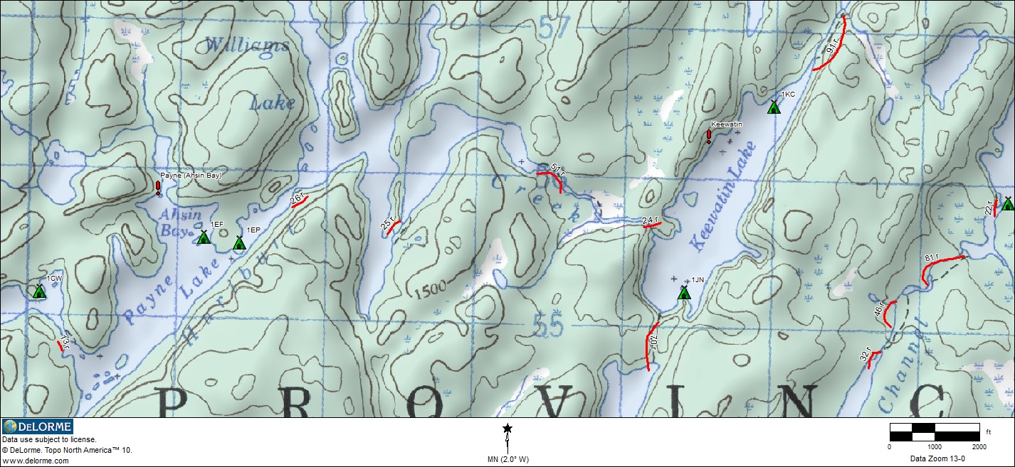
quote Kiporby: "Here are the locations I've found.

"
This matches what I remember when I saw them last summer.
Reply
Reply with Quote
Print
Top
Bottom
Previous
Next

Subscribe to Thread
Become a member of the bwca.com community to subscribe to thread and get email updates when new posts are added. Sign up Here
Community Links
 Search BWCA.com
 Donate
 Featured Sponsor
