| Author |
Message Text |
|
MidwestFirecraft
|
Bogwalker: "The portage trail from Sunday to Iron was there back in 2011-not real visible but if you paid attention it could be followed. It's not an easy portage but it was there a few years ago but seldom used."
Do you mean Crooked Lake?
|
|
Bogwalker
|
The portage trail from Sunday to Iron was there back in 2011-not real visible but if you paid attention it could be followed. It's not an easy portage but it was there a few years ago but seldom used.
|
|
mcsweem
|
jwartman59: "Found this in my ocd collection of bwca maps, used these at times when the fisher maps would just get you lost

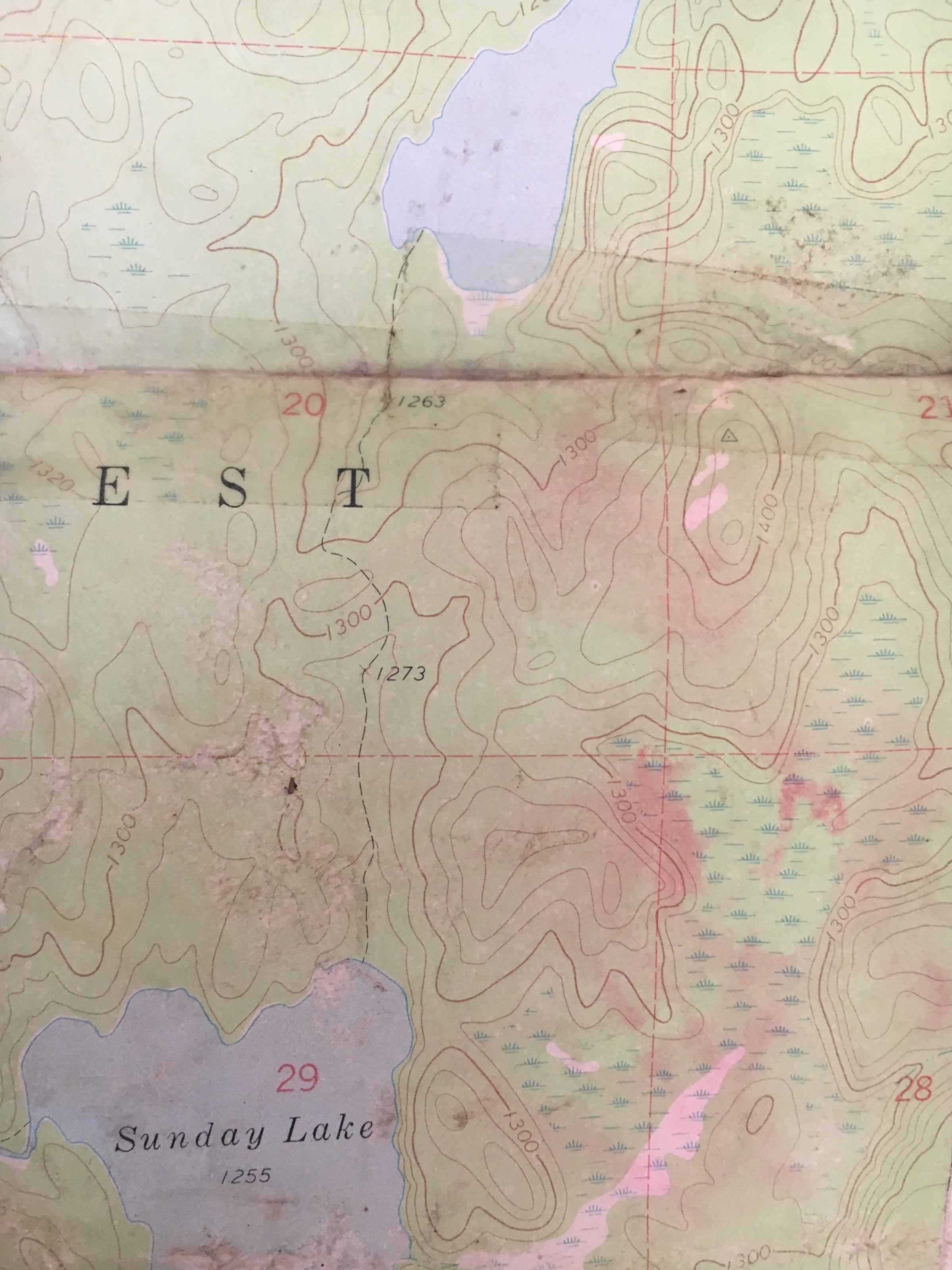

As far as I know the old haul road north out of Sunday lake is no longer in existence "
I have the same map
|
|
jwartman59
|
Found this in my ocd collection of bwca maps, used these at times when the fisher maps would just get you lost
As far as I know the old haul road north out of Sunday lake is no longer in existence
|
|
MidwestFirecraft
|
Thank you! Very much appreciated.
|