Quetico August 2008
by Ho Ho
Day 5 (August 19, 2008): Campsite - Veron Lake - Portage - Delahey Lake - First Death March Portage (half mile) - Pond - Second Death March Portage (one and a half miles) - Beaver Pond - Mongo Beaver Dam Carry - More Beaver Pond/Creek - Another Death March Portage - Marshy Lake - The Last Short Death March Portage - Conmee Lake - Portage - Suzanette Lake - Campsite - about 8.75 miles altogether (including a lot of portaging):
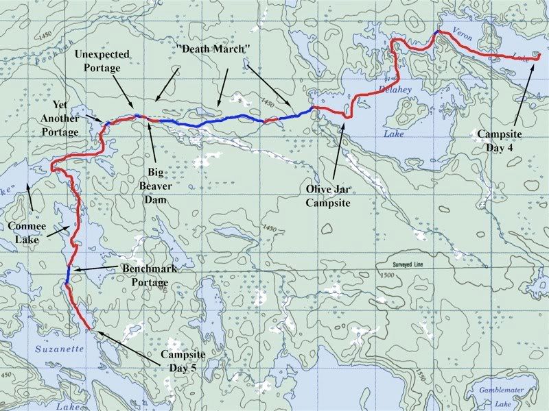
I woke at dawn to a beautiful sunrise at our east-facing Veron Lake campsite (that's the food pack dangling in the picture) -
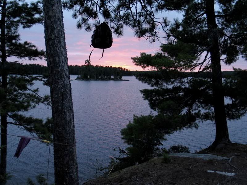
The east wind was still blowing, so we drank our coffee and ate breakfast down at our leeward rock below the tent site on the north side of the island -
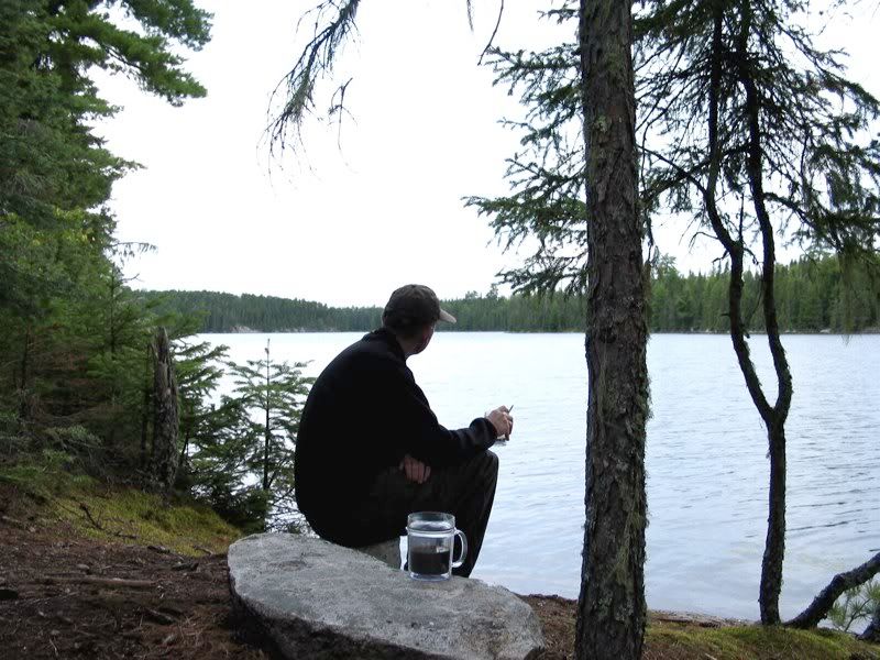
Later, when I went back in the woods, I found some nice beds of moss -
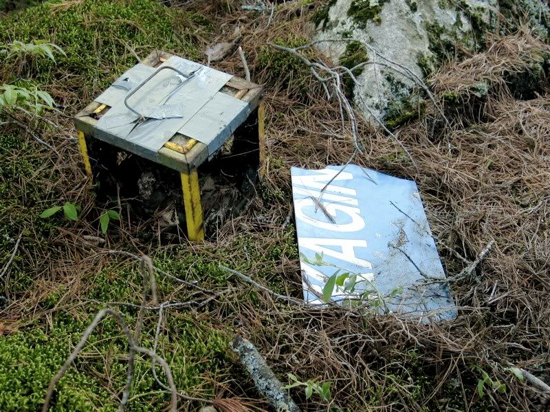
I explored to the far end of the small island, where I found these cryptic remnants of . . . something -
While exploring I noticed a bird call that was kind of familiar, yet distinctive. It was like the chick-a- dee-dee-dee of the Black-capped Chickadee, but softer and much squeakier. Could it be? Yes! There right in front of me, easy to identify even with the naked eye, was that long-sought-after elusive tit, the Boreal Chickadee. A lifer! And a cute one, too.
The sunrise and Boreal Chickadee made for an auspicious beginning for the central day of our trip. And today was going to be fun, because we were heading for . . . the Death March!
Okay, there's a lot of exclamation marks in the preceding paragraphs. But it's hard to contain one's enthusiasm when a Boreal Chickadee and the Death March join together to make one perfect day.
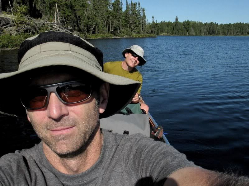
At least that's how I saw it as we headed out from our Veron Lake campsite around 9:00. The strong east wind pushed us forward to the portage to Delahey. (At this point it's still the "trip of favorable winds.") The Veron-Delahey portage is not long. But what length it does have goes straight uphill, with the outlet from Delahey to Veron splashing down nearby. It's a nice reminder that we were climbing up to a headwaters lake in the very center of the park.
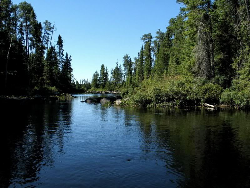
The portage took us to a beautiful jagged channel along the north edge of Delahey. I had to study the map for a while, wearing my strongest reading glasses, to figure out how we were supposed to get from that channel into the main part of the lake. There's a narrow north-south passage that is barely discernible on the map, and just as inconspicuous on the water -
We weren't sure we would be able to float through the rocky patch at the far end of the narrows, but we maneuvered our way through. Then we were out on the main body of Delahey.
We espied the little archipelago toward the western end of the lake where the Olive Jar Campsite lay, a place celebrated in song and legend. We set our bow in that direction, arced through the other isles, and arrived at the wave-washed shores of that ancient campground. There we found safe mooring on the back side of the island, tied off our craft, and made haste to the Olive Jar like knights errant seeking the Holy Grail. We unsealed the jar, and found the wisdom of ages -
Unfortunately, we only had about a half hour to look at notes in the jar. It would be easy to spend an entire day, or even longer. These are writings penned by kindred spirits at the very center of the greatest place in the world. They are profound, they are humorous. We laughed, we cried. One note was from someone on his first wilderness trip ever, high as a kite on the experience. Another was from a young woman who was about to begin college but was already on her fourth Quetico trip. Many described travails on the Death March over the course of a couple decades - the portage seems to be in a constant state of flux. There were also some funny notes from people traveling in the opposite direction (like us), about to go over Death March, and portending their own imminent demise on same.
I looked for and found a note from Snow Dog, who posts on Quiet Journey, because I knew he had passed through here a bit earlier this summer. I really liked that. We also looked for notes from Shan Walsh, which I thought Snow Dog said he found in the Olive Jar, but we never found them. That was a disappointment. I left a note along the lines of how we, too, were about to be swallowed up by the Death March. Then we carefully piled everything back into the Olive Jar (which is just about full), and went to meet our fate on the March of Death.
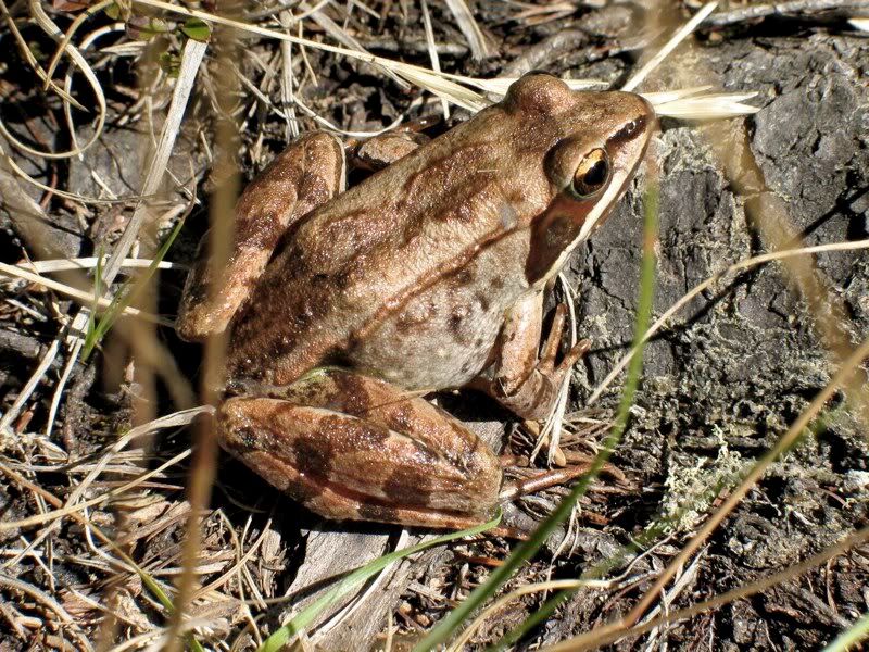
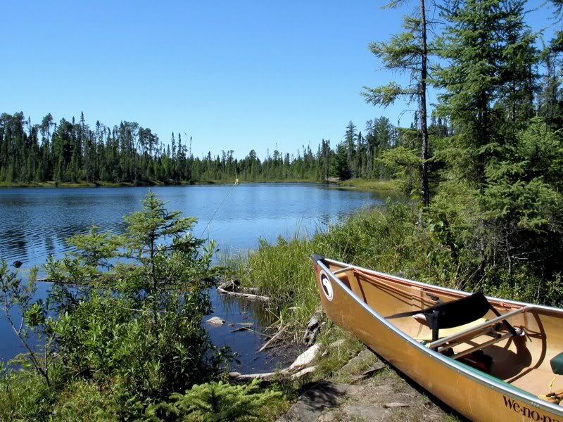
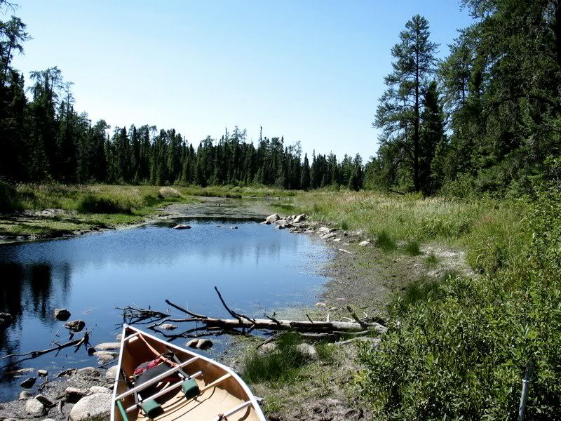
It was a short paddle to the landing. There we were greeted by a toad. It seemed like an omen, but whether good or bad was not clear -
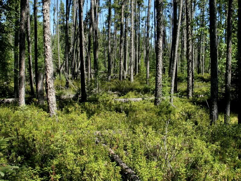
The Death March actually consists of several portages, with some paddling thrown in along the way. The first leg is just over a half mile. It passes through an open forest dominated by Black Spruce and an understory of bog shrubs. I heard more Boreal Chickadees in here, though I never saw them -
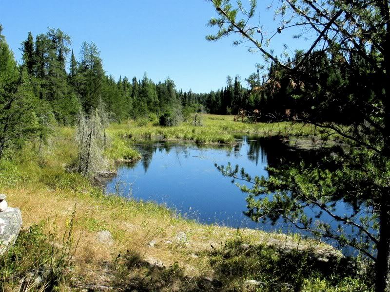
That easy level carry ends at a small pond in the middle of the boggy environment -
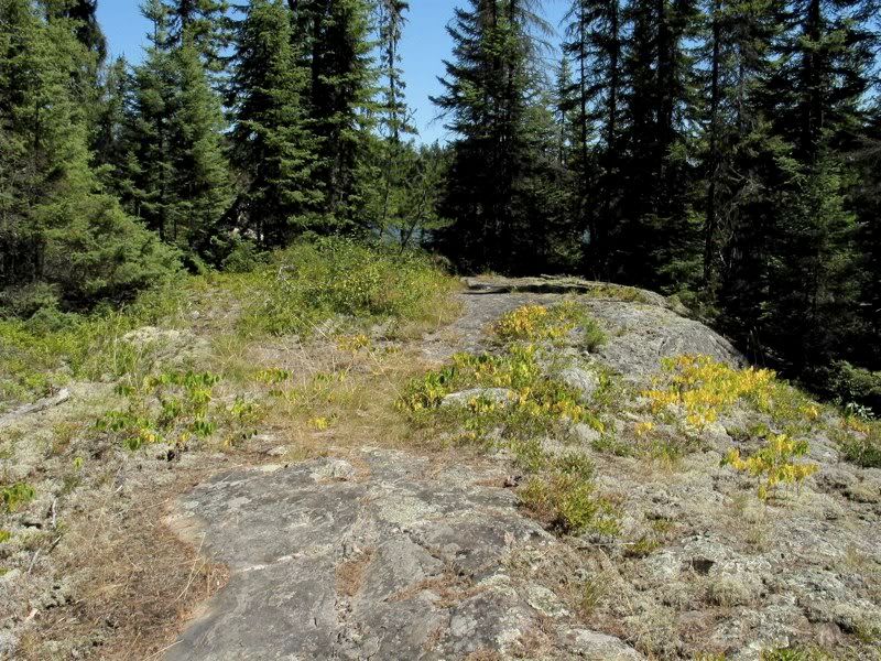
A quick paddle across the pond brought us to a slab of granite that marks the beginning of the long, mile-and-a-half heart of the Death March -
We decided to leapfrog over this part of the portage. We carried the first load (canoe and heavy pack) for just seven minutes. Then we went back for the second load consisting of the other two packs, and carried them fifteen minutes - passing the first load along the way. Back for the first load. Carry it fifteen minutes. Pass the other gear along the way. Go back for it. And so on.
Stumpy and Tooth Fairy/Kim had posted in the Quiet Journey portage database that the Death March is "just a long walk in the woods." I beg to differ. It's just a long walk through a semi-bog. Though mostly on dry ground. After the first stretch through the Black Spruce mentioned above, the portage follows a drainage with lots of boggy and beavery areas along the way -
The sun was shining bright, and much of the portage was open and semi-open. Fortunately, the strong wind that had been blowing the last few days penetrated far enough inland to make it a little cooler on the Death March. We stopped for trail mix a few times, but skipped lunch. We had four liters of water with us, and we consumed it all. At one point we found a full water bottle along the trail, with a Camp Widjiwagan sticker on it. I sure felt sorry for the camper who lost his bottle of water along this portage. We emptied the bottle and took it with us. (I emailed the camp later to offer to send the bottle as a keepsake to the camper whose name was on it, but never heard back.)
As we portaged, I calculated how many leapfrogs it would take us to get across this part of the Death March, assuming it was about a mile and a half. At the estimated time, we arrived at a landing -
As you can see, the water ahead was shallow. But at this point there was little question that the portage ended here, and we were supposed to get in the canoe and paddle. So that's what we did. The pond was so shallow it was hard to paddle. And after going just a hundred yards or two, we came to a mongo beaver dam -
Now I was a little confused. There was no obvious path across the dam. And I had been warned there was a false put-in along the Death March. Maybe we had been fooled into taking it, and we were still supposed to be portaging? So I spent some time scouting around. Finally, I decided there was no trail nearby, and we just had to get to the water on the other side of the dam. Which was easier said than done. This was no mere beaver dam. It was a massive mucky marshy mess. But we beat a path through the gooey grass, managed to load up, and headed down more marshy creek -
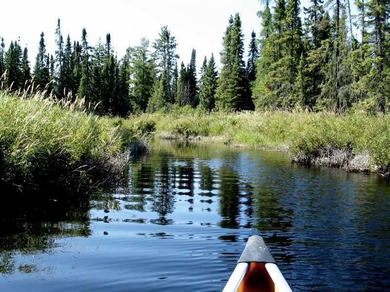
Not too long after that we arrived at another portage. Now I was even more confused. I knew the maps were not completely accurate in here. But based on what I had read and the most recent map I had, I didn't think there should be another portage in here. Plus, there was a trail coming down from the other direction, which made me think we had goofed up and should have been portaging instead of paddling through this area. I spent another ten minutes or so scouting. There was no way to go but forward. So we portaged our gear across, to another, wider stretch of marshy creek -
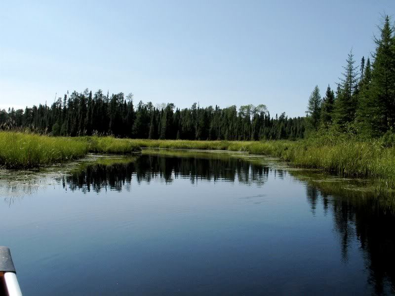
At this point we weren't quite sure where we were. Maybe on the north bay of Conmee (the optimistic view). Or maybe still on the last big beaver pond of the Death March (the pessimistic view - except at least we wouldn't be lost). Soon we came to one more short portage. We scouted and carried it, and the map suddenly matched the land. We were finally in the north bay of Conmee.
We had made it through the Death March. It really was just a long walk through the lowland wetland woods - except for the beaver ponds and beaver dams and the rest toward the end that caused some confusion and consternation. The unexpected delays of that last part meant the Death March us took about an hour longer than I thought it would - about five hours all together with double portaging.
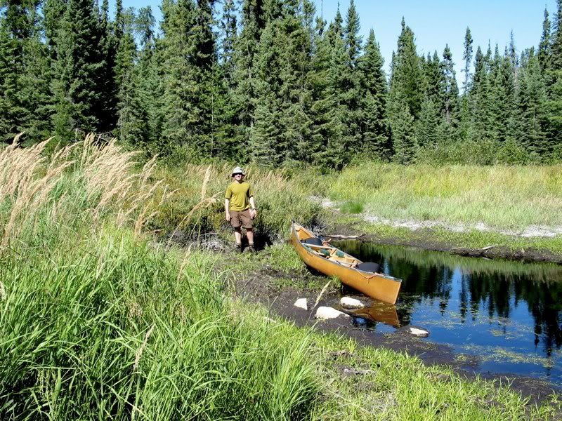
When we got out on the main part of Conmee, we took a celebratory picture -
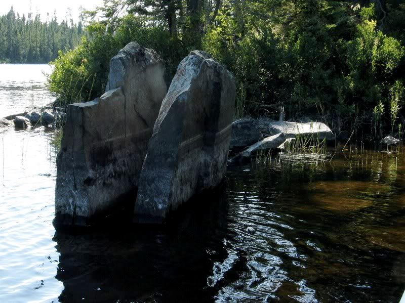
Not too long after that, we came to a strange split rock. I'm sure it signified something, but what? -
We debated for a few minutes whether to find a campsite on Conmee or move on to Suzanette, which was our original plan. We decided to head toward Suzanette, stopping along the way to check out a campsite we knew existed in the southeast bay of Conmee. We had passed through here going the other way from Suzanette to Conmee in 2005, and the Conmee campsite looked decent from a distance back then. But when we stopped to look now, it seemed pretty dismal. So we rode the north wind to the portage to Suzanette.
By now it was getting a little late, and we high-tailed it over the portage without pause. I remembered this as a fairly easy portage that rises then drops through open woods. That was pretty accurate. Except for some reason the mosquitoes were voracious on this hike through. Plus, as I carried the canoe, I ran headlong into a tree that I didn't see. All of you who carry canoes know what that is like. Where did I experience something like that before? Oh yeah. In a "Tom and Jerry" or "Roadrunner" cartoon with a "Crash! Bang!" soundtrack.
Since we had been through here before and it was late, we did not pause for pictures, but here's one from our 2005 trip with the main tourist attraction along this portage -

After carrying both loads across, we quickly loaded up on Suzanette to escape the skeeters. I remembered seeing some decent campsites on Suzanette when we passed through three years ago. But I didn't remember where. And I worried maybe we would find other people on the lake occupying the campsites.
As it turned out, we didn't have far to go to find a great campsite. At the south end of the bay where the portage comes in, there was a small site that was perfect for us. We got there about 6:00, set up the tent, and went for a much-needed swim to wash off the grime from the Death March. Now we both realized that our legs were covered with a ton of small lacerations from walking through the grassy, aldery undergrowth of the Death March in shorts for five hours. I guess real woodsmen would wear long pants. But that sure would have been hot. Maybe we are just tougher than "real woodsmen."
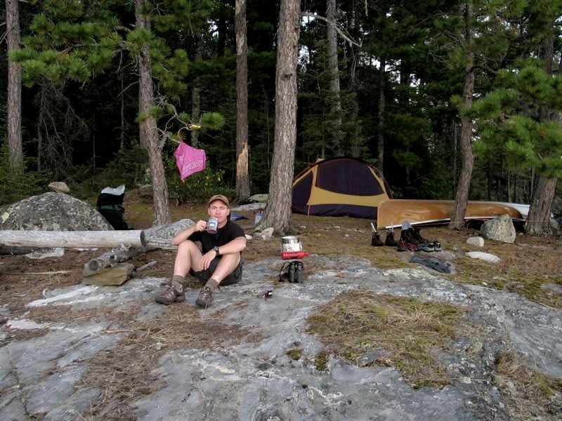
Contrary to expectations, no one else seemed to be anywhere on Suzanette. I really liked this small campsite. I was maybe my favorite of the trip. After dinner and all the chores, we relaxed with a shot of Maker's Mark as night fell -
A loaf-like granite islet sat right offshore, with a gull perennially perched atop it. I started to doze off while we were still sipping whiskey. We were in the tent by 9:00, and I immediately fell asleep. But for some reason I woke up a bit after 1:00 and tossed and turned until dawn. Fortunately, there's no better place to be when you can't sleep.
 Donate - BWCA.com