Quetico 2010
by Ho Ho
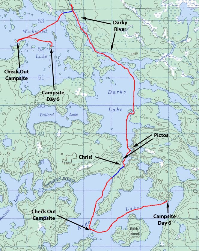
We woke up at 6:00 am to a beautiful morning on Wicksteed Lake. So much for the big storm! The glow of dawn -
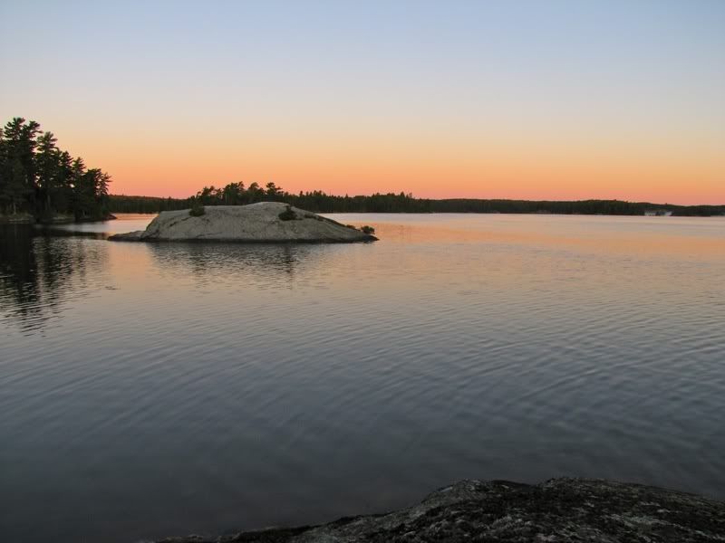
Mist rising at the northern end of the lake -
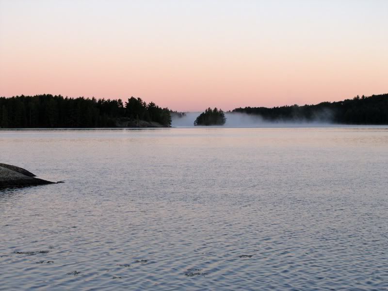
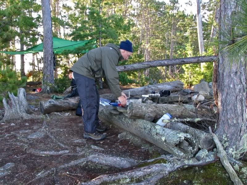
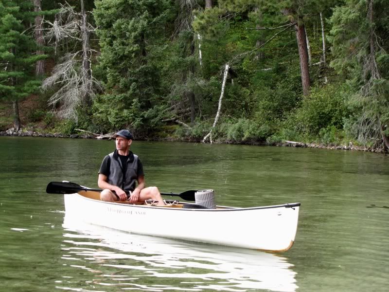
David imbibing his coffee and Swiss Miss concoction (if his coffee doesn't taste like dessert, he won't drink it) -
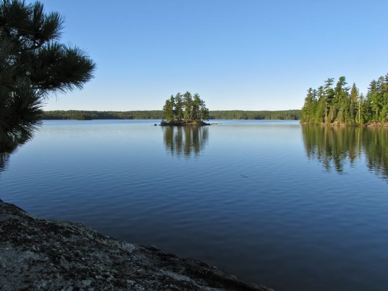
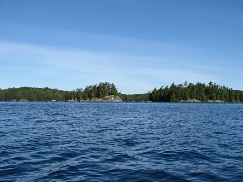
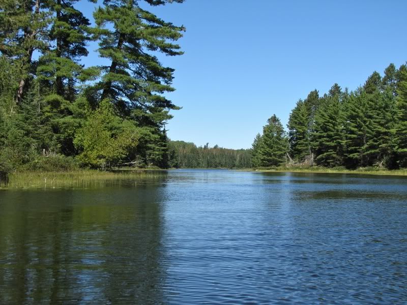
Looking out over one of the many islets of Wicksteed -
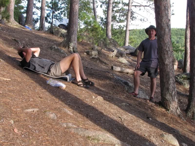
Cooking a bacon and pancake breakfast -
As we ate our pancakes, David happened to ask when Chris was planning to start his trip. You may remember from the beginning of this report that Chris is the Internet friend we were planning to meet up with on Robinson Lake toward the end of our trip. I said to the best of my recollection, I thought Chris was planning to put in at Prairie Portage on the 5th, which was yesterday. But I also thought he had said he might be on Darkwater today or tomorrow, which would be too far to go if he just put in yesterday. So we weren't sure about Chris's plans, except for meeting up on Robinson two days from now.
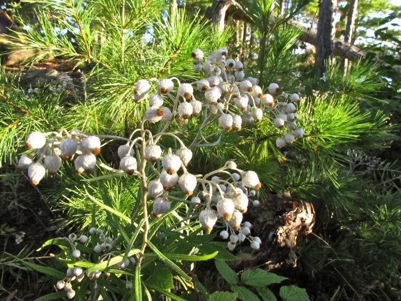
Back to more immediate concerns. Our campsite was on a tiny point connected to the main part of our island by a narrow, shrubby isthmus. The isthmus provided access to more space for "sanitation." Admittedly, there was not that much space at the other end of the isthmus, either, because a big cliff rose up just beyond it. Anyway, after making an excursion over there, I stopped to admire a patch of pearly everlasting -
We broke camp fairly efficiently (for us) and were on the water by 9:00. This picture looks back at our campsite point, with the little isthmus to the rest of the island on the left -
Before leaving Wicksteed, we wanted to investigate the island campsite toward the east end of the lake, so we made a detour in that direction. Passing by a gull rock on the way there -
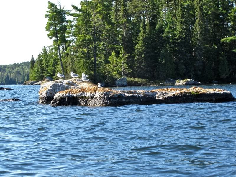
More Wicksteed islands and shoreline -
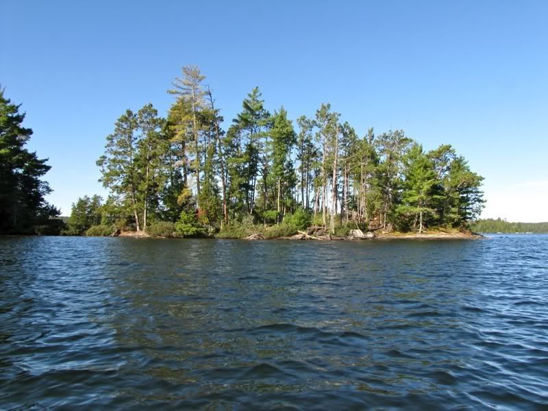
Arriving at the eastern campsite island, we got out to look around. The site there is spacious and looks to be the "destination" address on Wicksteed. I'm sure we'll be back and stay there some day. But I think I'll also always be partial to the little spit where we camped this time around.
After that stop, we pointed our bow back across Wicksteed to the portage to the Darkwater River. The northeast wind had been picking up all morning, and was (of course) now a headwind, although still modest at this point.
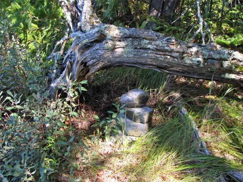
In 2004, when we portaged from Darkwater Lake to Wicksteed for a couple hours in the afternoon, we had tried to find the portage from Wicksteed to the Darkwater River on our way back. But we never located the river portage on that trip, and had to return via the portage directly to Darkwater Lake (the same portage we took into Wicksteed earlier that day, as well as yesterday). Now, however, we were armed with the official park map and had no trouble finding the river portage right where it's shown on that map. A small cairn also marks the spot -
This picture looks back from the portage landing out over the sheltered eastern side of Wicksteed -
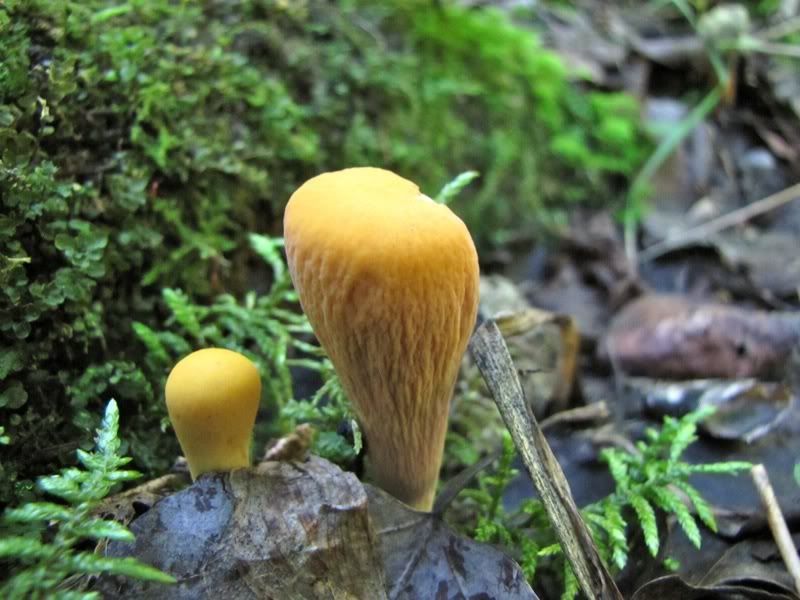
Maybe because we had trouble finding this portage before, and it is not shown on the Fisher map, I thought it might be very little used. But on the spectrum of out-of-the-way portages in the Quetico interior, it was fairly well trodden. It appealed to me much more than the portage into Wickstead from Darkwater Lake that we took yesterday. There was the usual assortment of stuff to see along the way, such as these funny fungi -
Rotting limb sprouting wings -

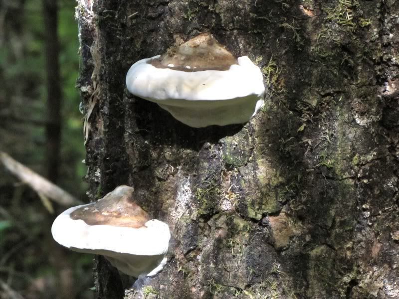
Rotting trunk sprouting ears -
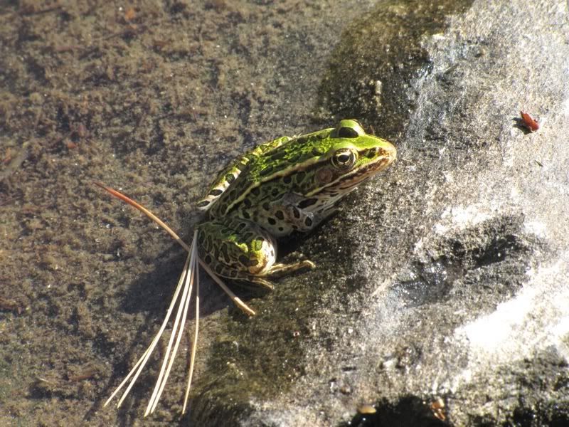
After we carried all our gear across, this guy greeted us at the Darkwater River end. He waited patiently while we ate some power bars, loaded up the canoe, and paddled away -
Although the official park map accurately shows where the portage begins at the Wicksteed end, at the Darkwater River end it inaccurately shows the portage from Wicksteed and the portage around the rapids on the river itself ending at the same place. We discovered that's not correct, and decided to paddle downstream to see where the portage around the rapids actually comes in. We found the landing for that other portage about 200 yards further downstream (north) from where we portaged in from Wicksteed. It's near this log jam, where we turned around -
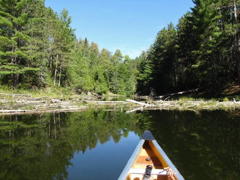
Paddling back upstream toward Darkwater Lake on the Darkwater River -
And now for a little digression on nomenclature. The river and the lake I am talking about are both called "Darky" on all older maps. That's the name I learned at a tender age, so it comes naturally to me, and I used it when I marked the maps included with this report (like the one at the top of this page). More recently, however, the authorities have realized that in the wider world "darky" is mostly used as a racial epithet, so the newer maps use the name "Darkwater." I've heard it claimed that the original name comes from the darkness of the water in the first place anyway. I'm a little skeptical of that, because I don't think the water is particularly dark (though maybe it is darker where the river flows into the Maligne; from the map it appears to get pretty boggy down there). Anyway, if the old name comes from a derogatory term for the First Nations or anyone else, I would never use it. If it comes from the darkness of the water, as people seem to think, then I'm not sure there's anything wrong with it. But either way, I thought I'd just go ahead and make the transition to the new name in this report. Please just don't get mad at me either way.
Now back to our regular programming after that special semantic intermission. As we were paddling up the Darkwater River to Darkwater Lake on this sixth day of our trip, the northeast wind was funneling against us with ever-increasing force. Sure, you might think that because we were heading south (and a little east), the wind from the northeast would be our friend. But this being the Ho Ho and David September 2010 Quetico Trip, you can rest assured that somehow or other, the lay of the land twisted that wind around so it was blowing right in our faces.
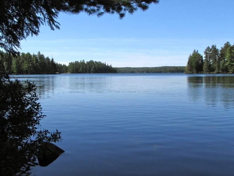
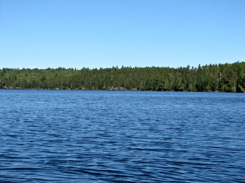
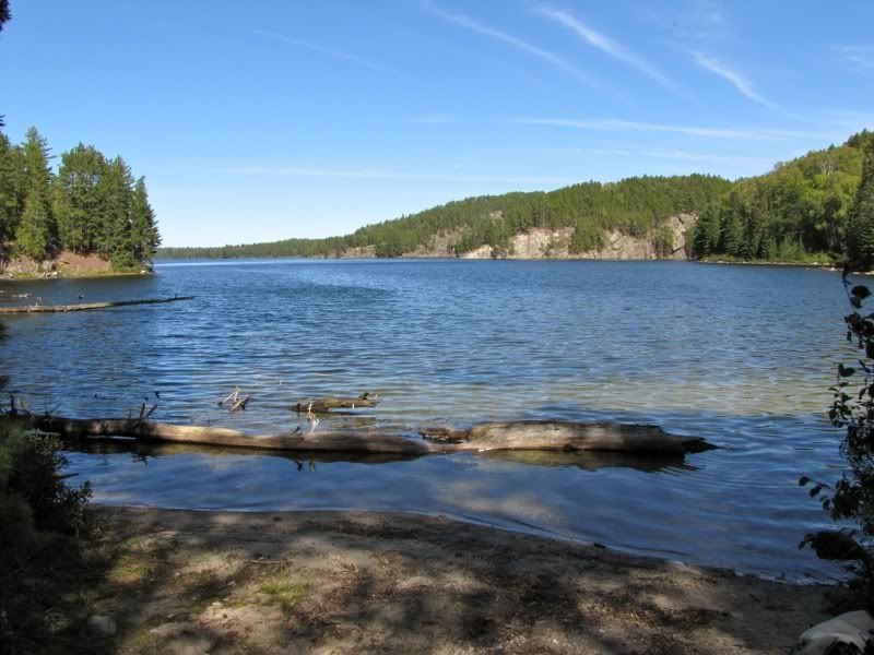
As we neared the imaginary line that separates the Darkwater River from Darkwater Lake, we started to see folks from the Green and Gold contingent we had met on the Wicksteed portage yesterday. First we saw a tandem canoe with two of the guys out fishing at the confluence of river and lake. Then we coasted past the lake's northeast island and saw two more from that crew hanging out at the nice camp they had set up there. Continuing southward along the eastern shore of the lake, we passed the last two from the group out fishing. We paused to chat with them about enjoying the relative calm before the storm. Looking out over Darkwater Lake on a lovely day -
But the northeast wind was certainly blowing no good in our direction. Though we were largely sheltered from it by the eastern shoreline, the gathering strength of the blow made itself known when we crossed the arms of the lake that extended eastward.
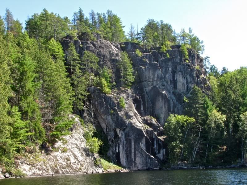
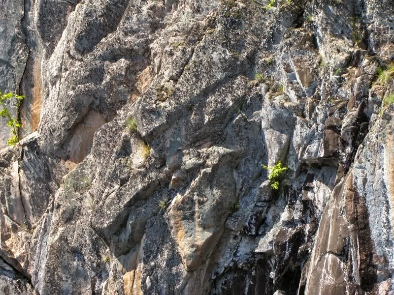
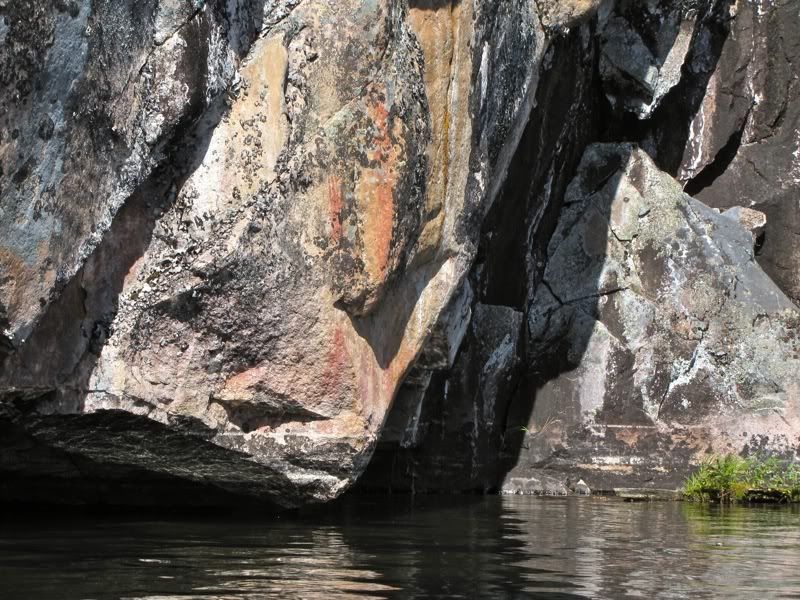
Soon we were closing in on the south end of the lake, where we paused to see the top-notch Darkwater pictographs again. This is the cliff with the pictos on the east side -
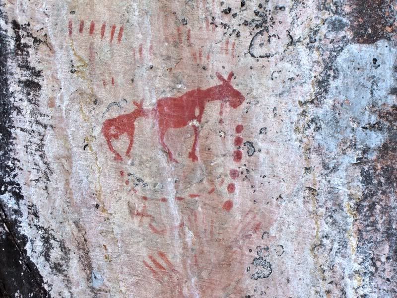
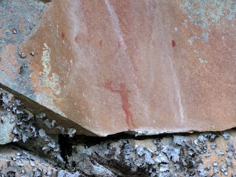
Maybe my favorite moose pictograph I've seen -
Another moose, hunting party in canoes, and serpent thingy? -
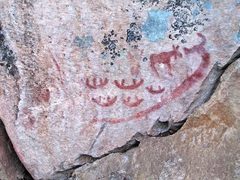
I assume the firearms picto is one of the more recent ones, but it might still predate Europeans getting to this area (I think the Ojibwa got firearms by trading with Europeans before the Europeans themselves actually made it this far into the interior, but maybe I'm wrong) -
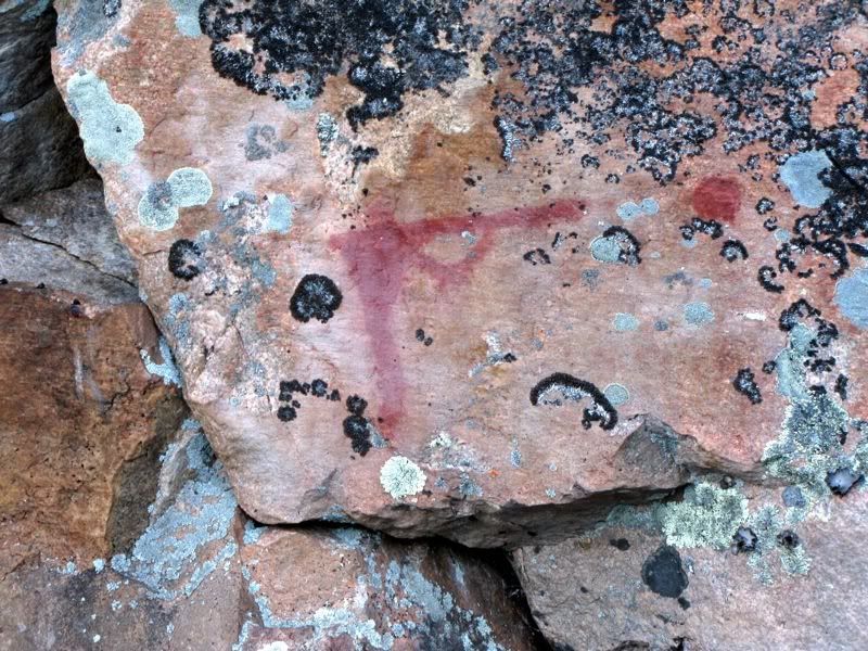
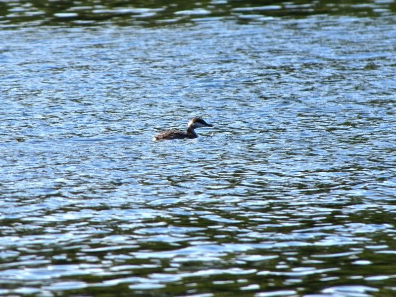
After revisiting the eastern pictographs, we crossed over to the west shore to see the pictographs there. Along the way we spied a Horned Grebe in its nonbreeding plumage -
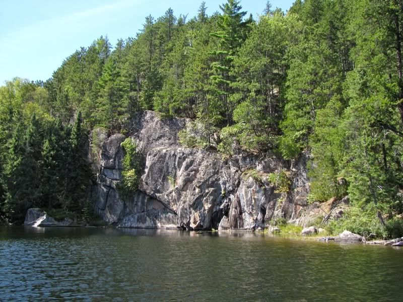
These are the cliffs with the pictos on the west shore -
Cliff abstract -
I had forgotten how close to the water many of the pictographs on this lake are. Hand pictos -
One of those god or shaman guys, I forget what they are called -
We lingered a while longer by the western group of pictographs, then paddled the few yards to the portage to Argo. It's got an easy sandy landing. Looking back at the cliffy southern end of Darkwater -
We got to the portage some time between 12:30 and 1:00. We wanted to spend a night camping on Argo, maybe at the site that is near the other end of the portage. Since that was not far away, we decided to defer lunch and just snack on a little trail mix. Then we carried our first load of gear across.
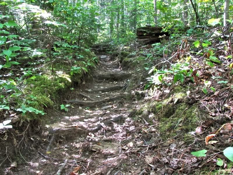
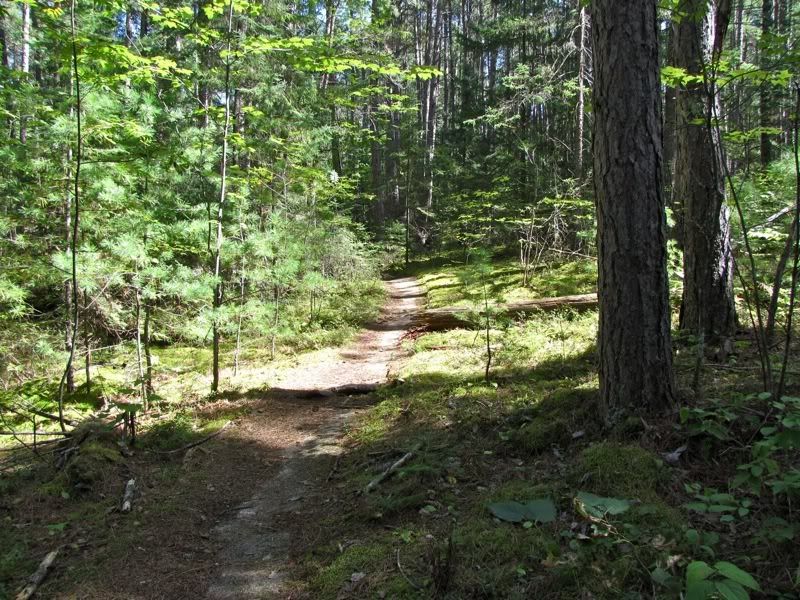
Compared to most other Quetico portages, this one is a virtual highway, with a wide path and pleasant tread. It does rise some going from Darkwater to Argo -
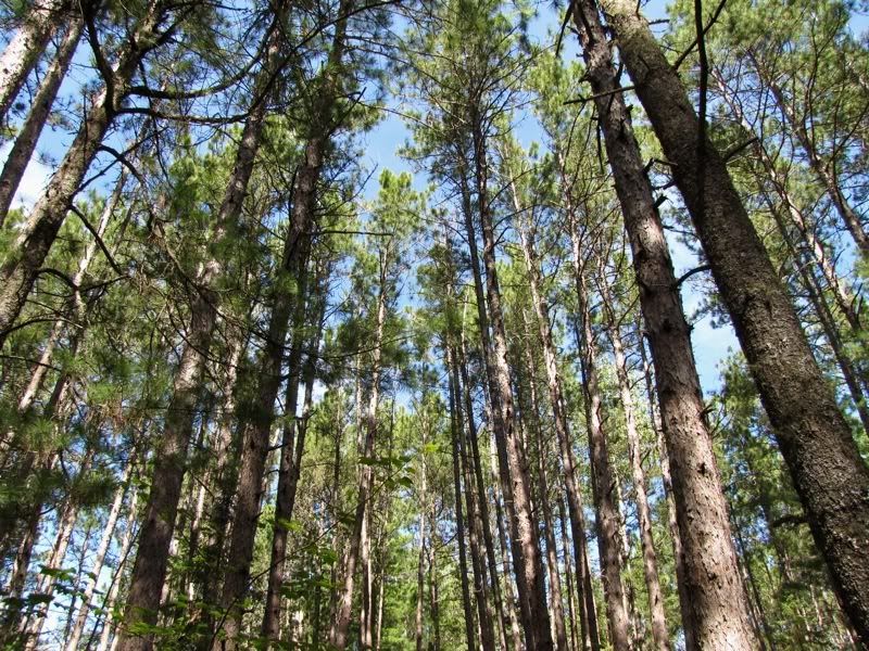
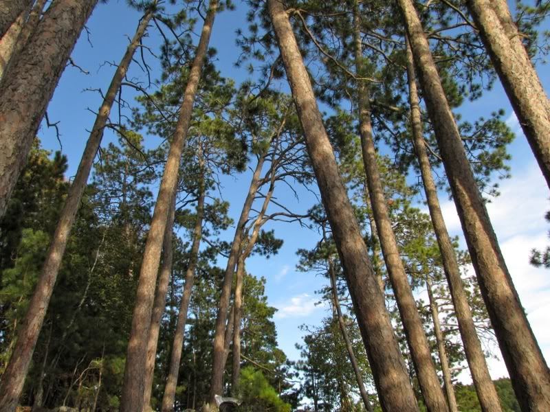
The path levels off in the nice pine forest. Looking up -
In some places, generations of portagers have worn away everything down to the smooth granite sidewalk -
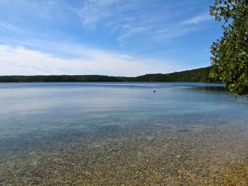
There's a few muddy patches near the Argo end, then you arrive at the nice sandy-gravelly landing with its beautiful clear water in the sheltered bay -
We went back to Darkwater to get our second load of gear. When we got to the landing there, I noticed a white solo canoe in the shadow of the cliffs by the nearby pictographs. I knew Chris was in a white canoe. But it didn't seem possible he made it to Darkwater already.
We had never met in person, but as the canoe approached the portage, I was pretty sure it was our man and called out a hello. Since Chris is a follower of the Ho Ho and David trip reports, he had seen a lot of pictures of us and instantly recognized us. Plus the Green Bay folks had told him they'd seen two guys who matched our description. The solo paddler drifting to shore -
Much talking ensued. David and I marveled at how little gear Chris had - it looked like less than I might bring on some day trips. And we marveled at how quickly he had traversed essentially the same route we had followed so far this trip (minus the Wicksteed detour), leaving Prairie Portage just yesterday morning. (Admittedly, he covered the seven miles from Moose Lake to Prairie Portage paddling in the dark the night before and camped on the BW side, so that was a wee head start. We were impressed nonetheless.)
We crossed over the portage together (Chris was single portaging), then set out to find a campsite on Argo to share for the night. David and I had been thinking of checking out the site near the end of this portage. But Chris had gotten a recommendation about the site over on the far northeast corner of the lake. That sounded like a good place to be as the nor'easter kept moving in, especially because the portage we planned to take out of Argo the next day is located in that corner of the lake, too.
After loading up, we paddled in the shelter of the long point that juts into Argo from the northern shore, then continued a bit further just to check out the campsite on the island at the end of that point for future reference. This is a pretty heavily used campsite, but you can see why it's popular, with lots of granite shelves by the water to sit out on (a favorite amenity of mine), and plenty of tent pads. Right now, however, it was being battered pretty heavily by the rising northeast wind. No longer in the shelter of the long point, we donned our PFDs before paddling directly into that gathering wind to our destination site.
When we got there, I scouted the site for the group and said it was "pretty good" or "okay" or something like that. So we unloaded, and Chris and David took a look around. Well, Chris is something of a campsite connoisseur, and he thought my assessment was a major understatement of the merits of the site, which quickly assumed a lofty position in his campsite pantheon. And I have to admit, it was pretty nice. It's a very vertical campsite, with the fire ring high above the water -
Looking back toward the canoe landing -
And up through the pines -
David and I went for a dip to wash off, and ate some more trail mix, since we had skipped lunch. Then we started to set up camp. Chris sleeps under the stars, though he also sets up a little tarp tent nearby in case rain moves in overnight. He kindly let us take this really cool site for our tent, nestled in a natural rock battlement rising above the lake -

After setting up the tent, I was pretty distracted from ordinary camp duties by talking with Chris. He has some good stories, like the lost canoe on Kahshahpiwi, and hiking the entirety of both the Appalachian and the Pacific Crest Trails. Naturally we had to relate everything that had happened on our respective trips so far, where we camped, the rough weather, Chris getting lost in the pitch dark on Birch Lake the night before checking in at Prairie Portage, etc. Talk talk talk -
Maybe because of the wind, no one seemed to be out on Argo Lake. We had noticed that the north campsite on Birch Island was occupied as we paddled past it earlier. And we had talked to some guys on the portage into Argo who were planning to camp on the south side of Birch Island. But we hadn't seen anyone out on the lake since we started paddling across it.
Despite the wind, though, the afternoon remained fairly sunny and warm, at least in our northeast site. But as it got toward time to make dinner, the temperature suddenly seemed to drop, and the skies turned overcast. That motivated me to make a belated effort to put up the tarp in preparation for the rain that seemed likely to come. But it was not easy finding a good spot for the tarp, with the site's steep pitch and numerous pines packed close together. Despite David's remedial efforts, which somewhat improved my initial attempt, the tarp job remained shamefully shoddy. Fortunately, no rain moved in during the evening.
For dinner, David and I made our great burrito treat again, while Chris fixed himself some kind of lentil gruel or something like that. We actually had surplus beans and rice for the burritos (we're still fine-tuning this meal), so we foisted the leftovers on Chris, who seemed a willing victim.
Then it was time for Maker's Mark. Chris confessed to being a bourbon novice, so he just wanted a small taste, despite our selfless offer to pour him a healthy serving from our treasured stash. (Note to self: when planning to rendezvous with other campers, bring extra bourbon, in case they like the stuff as much as you do.) We enjoyed our beverages over more good conversation, as lighting flashed somewhere far away in the night sky.
David and I put the rainfly on our tent before crawling in for the night, while Chris settled in under the clouds. The two of us read for a while before turning the lights out around 10:00.
A few minutes later, the first drops of rain fell. As we lashed down the doors of the rainfly, we could hear Chris taking shelter under his tarp tent. Slowly a steady rainfall lulled us into a deep sleep.
 Donate - BWCA.com