Quetico 2010
by Ho Ho
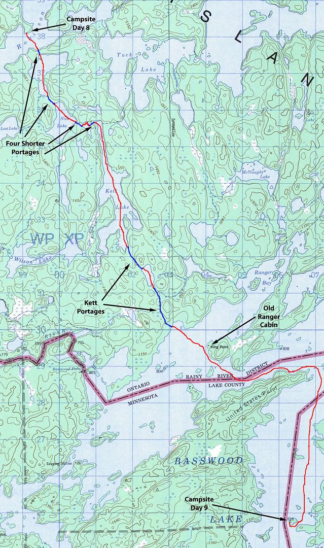
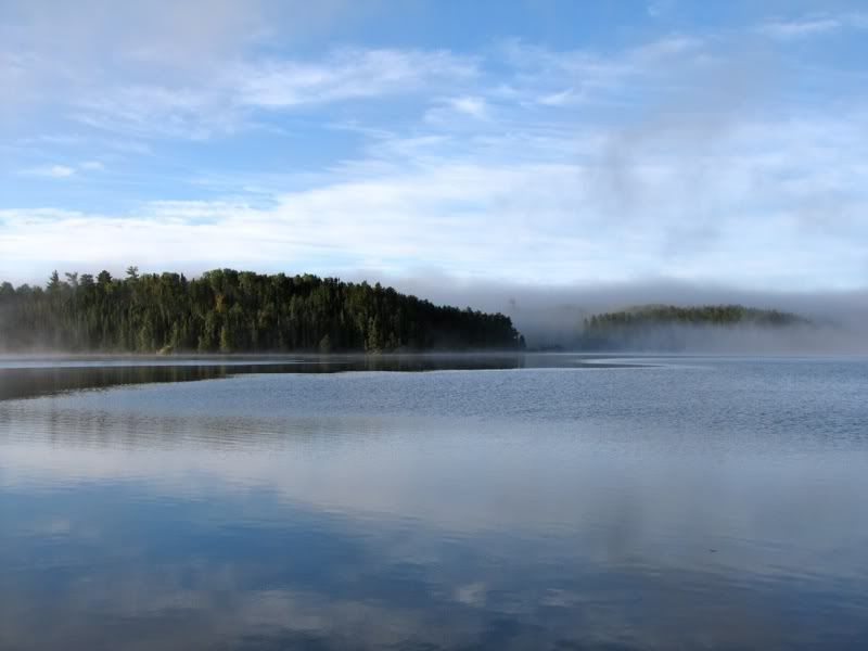
David and I got up around dawn to a misty morning on Robinson Lake. Chris was already up and ready to go. We talked for about a half hour. Then, around 6:30, Chris was off -
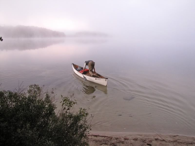
Adios -
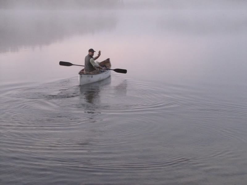
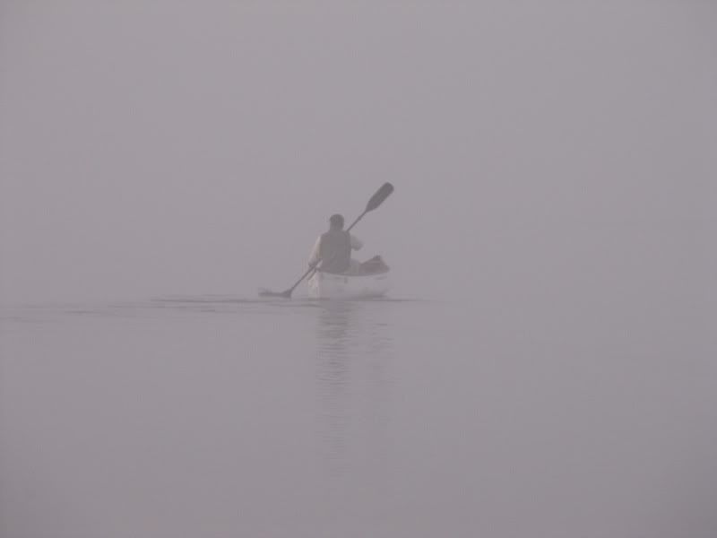
Disappearing into the mist -
Chris had left open the possibility of stopping on Basswood for the night. But we were pretty sure he was going to paddle out, so it would be a while until we saw him again. We had a great time hanging out with him.
The next piece of our own adventure was exploring the route through Kett Lake. As we drank our morning coffee, had breakfast, and broke camp, the mist started burning off -
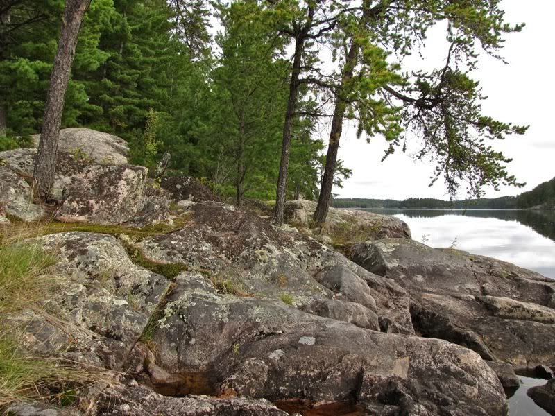
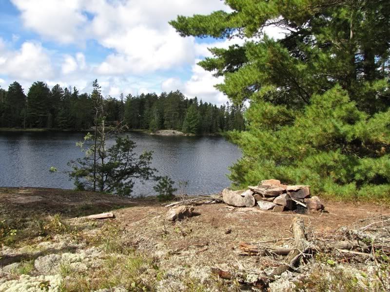
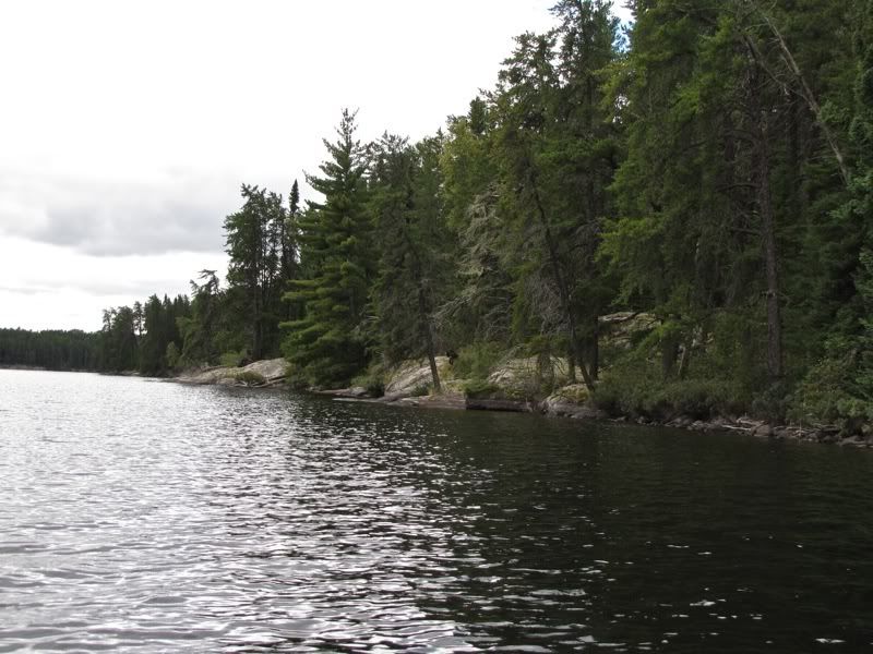
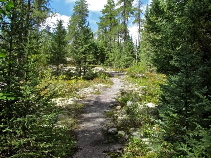
We had enjoyed this campsite, with its pine forest, sandy beach, and rocky outcrops like this one -
We got on the water about 9:15. A quick paddle to the opposite shore brought us to the first of a series of four shorter portages on the way to Kett. Looking north up Robinson Lake from the takeout -
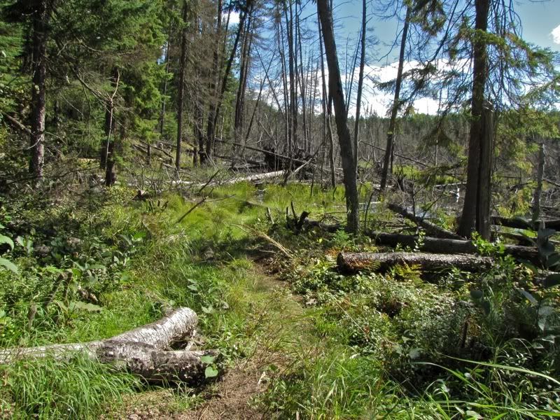
We zipped across this easy portage, which deposited us at the north end of a moderate-sized unnamed lake. Paddling down to the next portage at the south end of this lake, we paused for a moment to enjoy the somewhat boggy shoreline from the water -
Given the view from the water, it was not really surprising that the next portage was a little mucky -
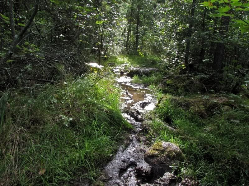
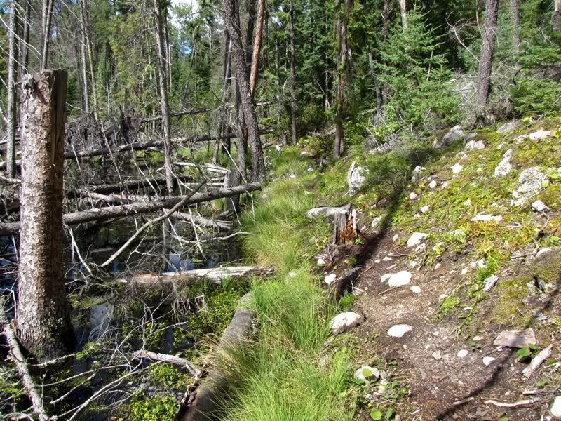
But it was not long, and certainly no comparison to the portage into Robinson yesterday. At the other end was Nub Lake -

Nub is about the same size as the unnamed lake we were just on. I always wonder why some Quetico lakes get names and others don't. Anyway, we quickly crossed Nub to the third portage in the series, which leads to another unnamed lake. The takeout for this portage was kind of rocky -
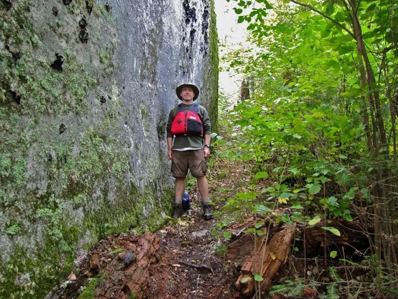
From there the portage went UP. We guesstimated at least a 150-foot elevation gain, probably more, over a relatively short distance. Along the way you portage along this sheer rock face -
Once you get to the top, the path goes through open forest before arriving at the second unnamed lake -
It took as a few minutes to find the fourth and last portage in the series. Both our maps showed it departing right at the northeast corner of this little lake, but it wasn't there. Searching south from that spot, we soon came to a rocky area with a fire ring that looked promising. I got out to scout and verified that we were at the right place. This picture below is the view from the fire ring. The rock here looked flat enough to pitch a tent, but you would have to anchor it with rocks, not stakes -
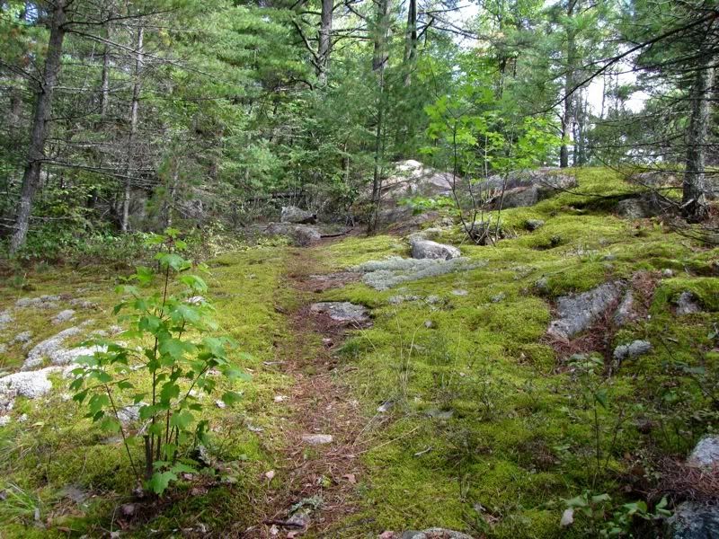
From there the portage ascends through mossy woods -
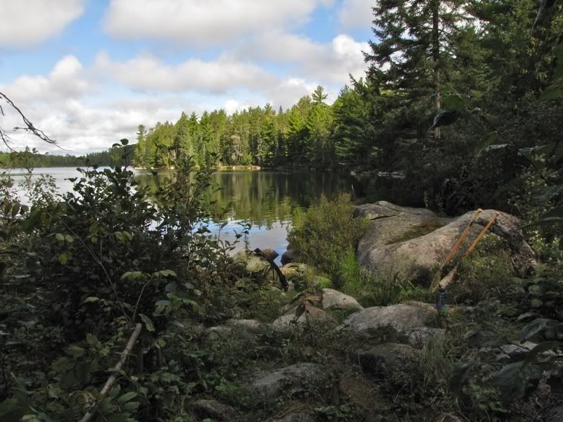
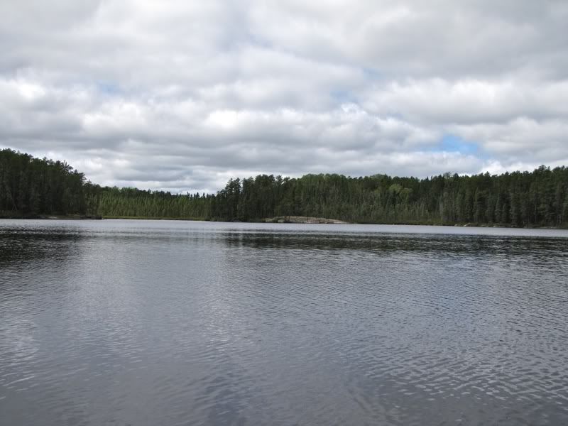
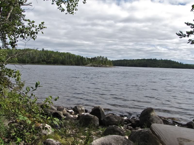
At the far end it descends steeply. But I think there was still a net gain of altitude on this portage, on top of the big climb on the last portage, putting Kett Lake considerably higher than Robinson. The landing at Kett is on a small bay at the north end -
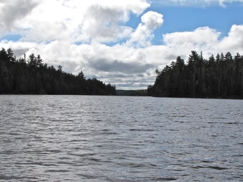
We fueled up with some power bars, then launched our craft onto Kett about 11:30. It goes without saying that now that we were no longer puddle-jumping, the wind had picked up and was blowing directly against us from the south. Paddling down the long lake -
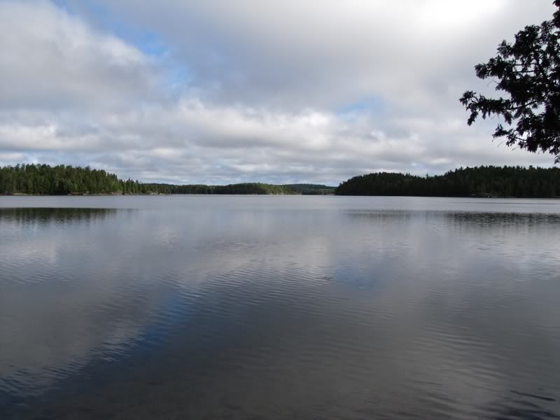
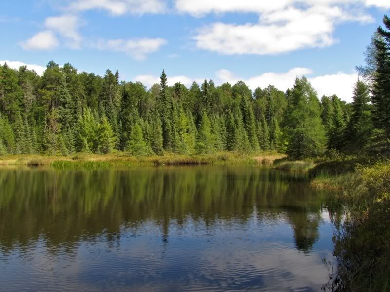
We thought Kett seemed inviting for a longer stay. At least one of the campsites looked pretty good from the water. We would have liked to explore more, but we needed to cover some distance and longer portages today. Something else to save for another trip.
Coasting along the shore further down the lake -
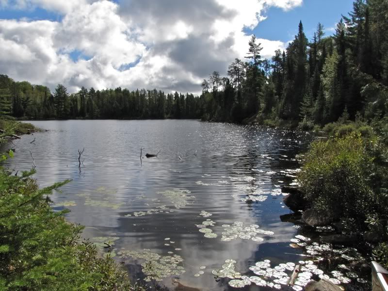
A glimpse into a little boggy bay -
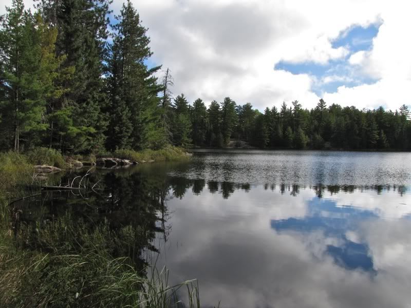
It took us a bit more than half an hour to paddle from one end of Kett to the other. Heavier cloud cover moved in along the way. This picture looks back up the lake from the portage landing -
Now it was time to cross the two Kett Portages to Basswood Lake. We weren't sure what to expect. Through the years I had seen a few references to these portages that made me think they could be overgrown and maybe boggy too. I also seemed to recall a trip report where someone got lost on them. I pictured them being like the Blackstone portage we crossed last year, which had not been cleared in a very long time. So we girded our loins and prepared for a challenge as we began crossing the first of the two portages, which weighs in at 150 rods.
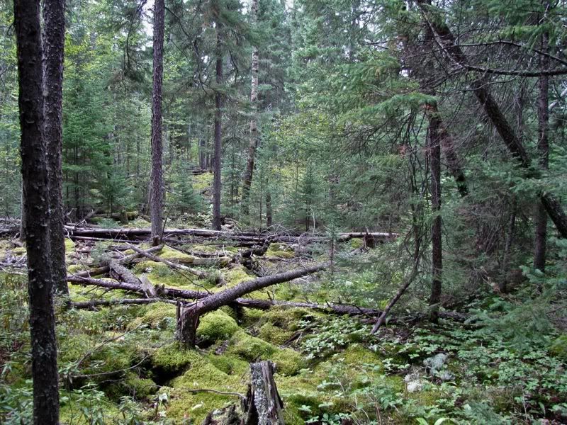
In reality, the portages were pure pleasure. The first is basically a smooth, easy-to-follow path that goes up and down (mostly up) through open woods. It helped that the portage crew seemed to have come through within the last year. This mossy fir forest was near the Kett end of the portage -
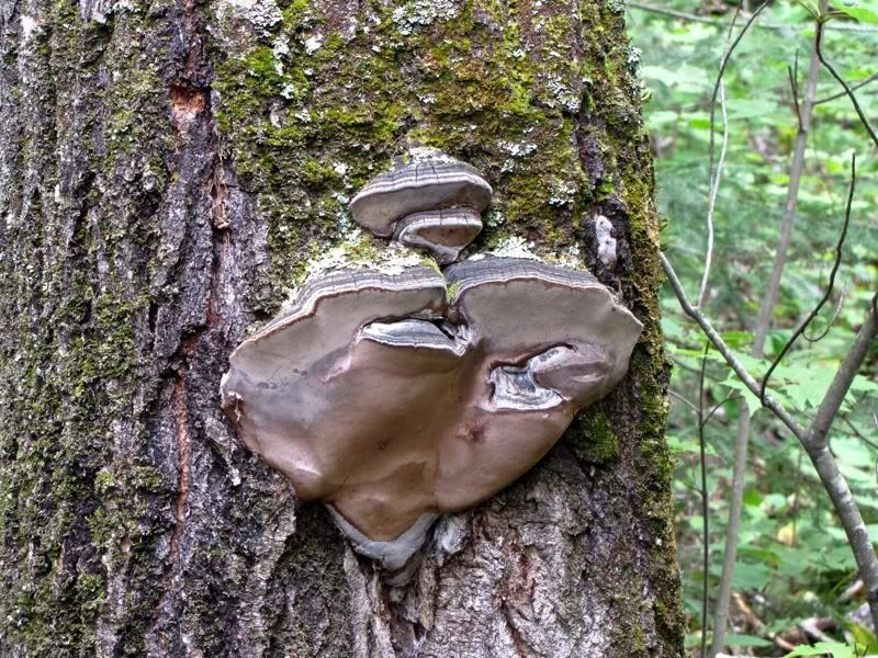
We heard a ruffed grouse drumming out of season around the time we stopped to photograph this tree fungus -
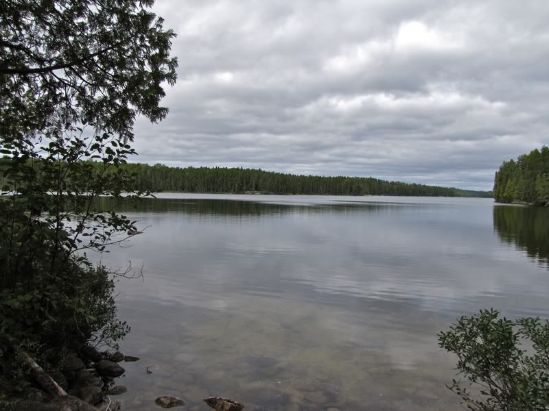
After completing this portage, we decided to skip lunch again today and snack on trail mix instead. Then we paddled across the unnamed lake that separates the two Kett portages. This picture looks back from the south end of that unnamed lake-

The nearby tamarack trees seemed to be brightening a bit with the coming autumn -
At 250 rods, the second Kett Portage would be the longest carry of our trip. After the first Kett portage, we thought it would probably be okay.
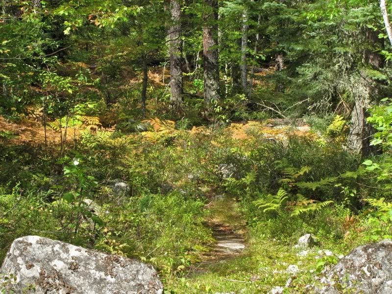
It was a lot better than okay. It's near the top of my list of all-time favorite portages. The path starts out rising from the unnamed lake through a pleasant forest with autumn ferns-
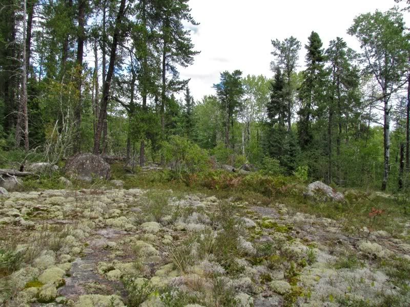
It quickly levels off on a plateau of ledge rock that continues for about half the length of the portage -
I love this kind of terrain. Contrary to my preconceptions of a long-forgotten route, this worn trail seems formed by generations of travelers passing this way -
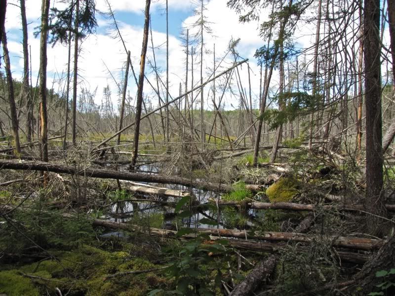
After continuing for a good distance on the open rock ledges, the portage drops a bit, and then seems to disappear into a beaver pond -
On our first pass through here, when I was leading the way with the canoe, I did not see past where the old path disappears into the pond, and thought "uh oh." But then I saw the newer path that goes off a little to the side to skirt the pond -
This detour path is not nearly as nice as the beautiful old trail that has been used for generations, but it gets the job done. The portage crew had felled trees in the pond that were right next to the path, presumably to prevent the portage from being covered by a falling forest of dead spruces. I suppose when the beavers first flooded the old trail with this pond, before the detour had taken shape, people could have gotten lost in here. Maybe that was the origin of the reports that had made these portages sound difficult.
Although the path itself is only so-so along the pond, it takes you past this fantastic scene -
On our first trip along the pond, all the dead spruce trees made me think about how black-backed woodpeckers and their close cousins the three-toed woodpeckers are often found in burnt spruce forests. Just as I was wondering whether they like flooded spruce forests too, I heard the tell-tale squeaky-nasal "peek" of a black-backed woodpecker coming from a nearby tree. This was the first of many black-backed peckers we saw in this beaver pond, by far the most of these fairly elusive birds we've seen anywhere. Despite seeing so many, our efforts to get a good photograph proved completely fruitless. Still, encountering a bevy of these birds definitely added to the pleasure of the Kett Portages. If only we seen some three-toed woodpeckers too. That species continues to elude us in canoe country.
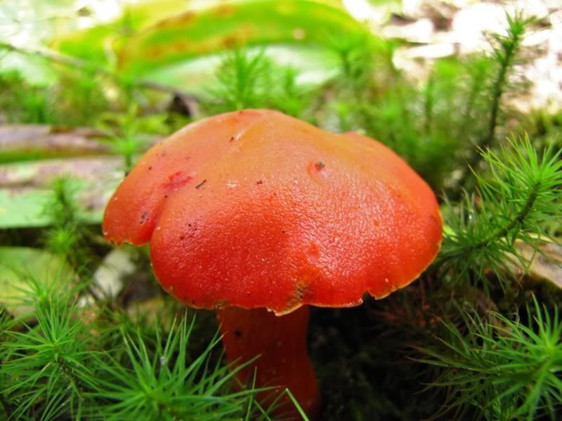
The path skirting the beaver pond continues for maybe 60 or 70 rods. Then the portage returns to the age-old path rising again through the forest, which harbored at least one very garish mushroom -
By now we had to be getting close to Basswood Lake. We had gained a fair amount of altitude over the course of the six portages we had crossed today. I kept thinking we would have to descend a lot. Only when we were almost to the end of the portage did it suddenly dawn on me that Basswood must be much higher than the Crooked/Robinson area we were coming from, given all the waterfalls and rapids along the Basswood River as it descends to Crooked. So just a slight descent at the end of the portage brought us to the shores of sprawling Basswood Lake -
We got there about quarter to three. The wind seemed to have turned so now it was coming more from the northeast than the south. It was blowing sideways at us as we crossed the mouth of Ranger Bay and came within sight of the old ranger cabin on King Point -
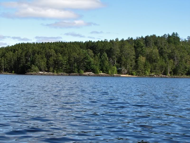
The skies had cleared again in the cool breeze. It was pleasant in the bright sunshine, so we paddled in tshirts for the first time in days. We crossed over to the southern (American) shore, which we would follow eastward to the tip of United States Point. You can see for miles from here up toward North Bay, where we had camped on the first night of our trip eight days ago -
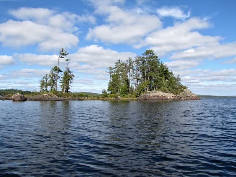
This part of Basswood is really attractive, with some good-looking BW campsites, and it's in the motor-free zone. You would expect to see other people here. But for the moment we still had total solitude. A little islet near United States Point -
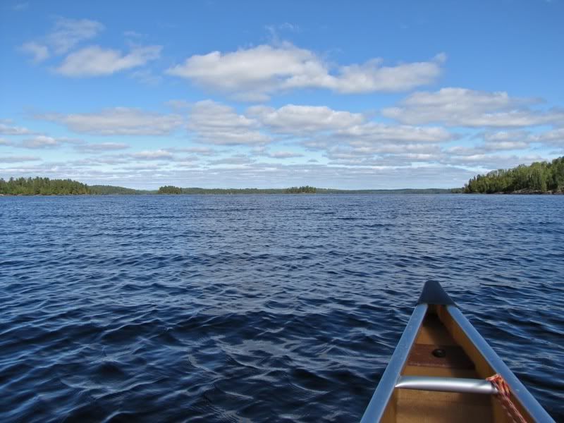
After rounding the point, we began heading south down the big open north-south stretch of lake. We angled toward the eastern shore for shelter from the northeast wind. But almost immediately, the wind swung around so it was once again coming directly from the south - i.e., directly in our faces.
As we paddled the long stretch southbound, we started to see a few other canoes out on the water. We passed a couple potential Canadian campsites along the way, but we wanted to get as far south as possible today while still staying north of the motorized area. So we were aiming for a cluster of campsites just north of Ottawa Island. The PCD said there were two sites on a smallish island down there that were "better than you would expect given the location," and there were a couple more potential sites on the English Channel.
We aimed for the smallish island first. By the time we were closing in on it, we were kind of tuckered out from our paddle into the ever-stronger south wind and the portaging earlier in the day. We were also getting kind of cold paddling in our tshirts as the wind strengthened and the sun lowered. So we were ready to stop. But as we came around the island on its east side, there were people camped there. We paused to say hello and asked if they knew whether the other site on the island was open. They said there were actually two more sites, both open, and the one at the west end was the better of the two.
We thanked them and went to check it out. I have to say, this site was not much to write home about. The camping area was basically just an open grassy spot, without much place to lounge and, most importantly, with no shelter from that south wind. We briefly considered paddling over to the English Channel to check the sites there. But we were chilled and tired and ready to camp, so we decided to stay despite the site's shortcomings. We were next to certain Chris had paddled out, so there was no need to check any other sites to see if he was around.
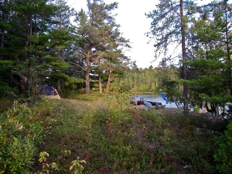
After unloading, our first order of business was to warm up. We pulled on as many layers as we could. Then we set up camp -
Once everything was set up, and we were as warm as were going to get at our windy site, it was time for a quick dip to wash away the day's grime. First I stopped to make sure we had our insanity certificates. Yep, our papers were in order. Ready to swim! As usually happens in the late summer, Basswood was several feet below its high-water line, exposing a skirt of rubble around our island that we clambered down to get in the water -

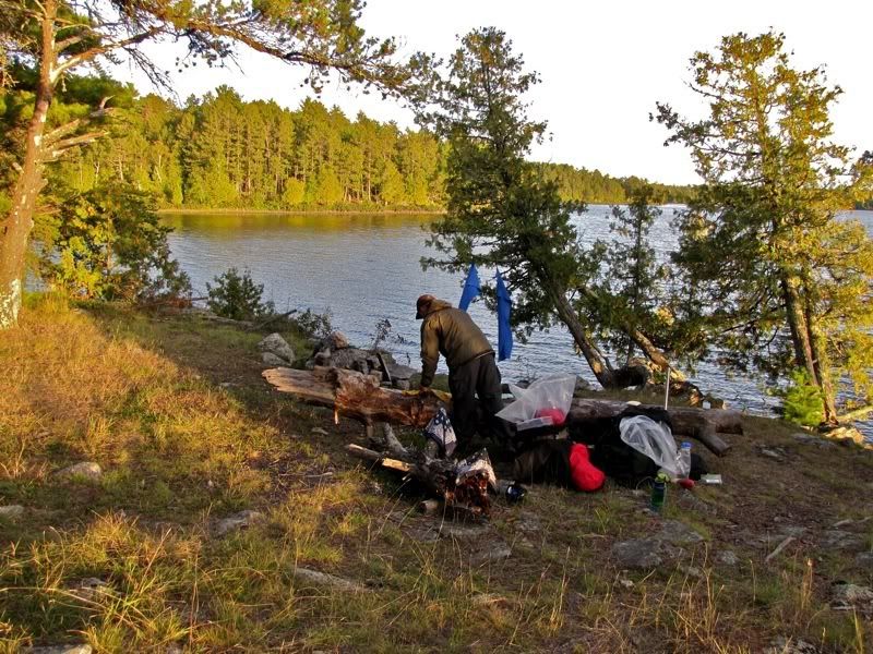
After that refreshing dip, we piled on a bunch of warm clothes again and cooked a dinner of Lipton noodles with chicken from a foil pouch. At least we had beautiful evening light in our pathetic kitchen -
As we were cleaning up, the folks who were camped at the east end of our little island came walking through our campsite. When we looked up surprised, they said they were just going over to the western shore to watch the sunset. That was a first. We've never camped so close to other people in Quetico before. And we've definitely never had them saunter through our campsite.
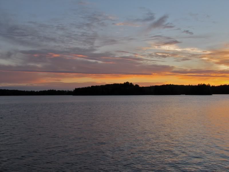
But it was a nice sunset -
Afterwards, the members of the other group drifted back through our camp and we talked some. They were from Boston, and this was their first night out on their first Quetico trip, having paddled in from Prairie Portage today. It sounded like they were planning a route like Chris's in reverse. They seemed a little worried about the weather, which was not crazy in light of the last week. We offered encouraging words. But I was a little concerned about how they would do, given that they were novices and had paddled such a short distance today, with no portages on one of the best weather days of our trip. So I snuck in a few tips about how to shorten the route along the way if they wanted. I hope they had a good trip.
After they departed, we rationed out the last of our Maker's Mark and found some good seating on the exposed rock by the shore. The wind died down enough for a few mosquitoes to emerge, and we were entertained by a mouse darting around the rubble hoping to sneak up on our little stash of cookies. Then we finished battening down our camp, crawled in the tent, and turned the lights out early, around 9:00, for our last night out in Quetico.
 Donate - BWCA.com