Quetico August 2008
by Ho Ho
Day 7 (August 21, 2008): Campsite - McIntyre Lake - Portage - First Unnamed Lake - Portage - Second Unnamed Lake - Portage - Earl Lake - Portage - Ted Lake - Portage - Milt Lake - Portage - Newt Lake - Portage - Little Newt Lake - Portage - Crooked Lake (Gardner Bay) - Campsite - about 10 miles altogether -
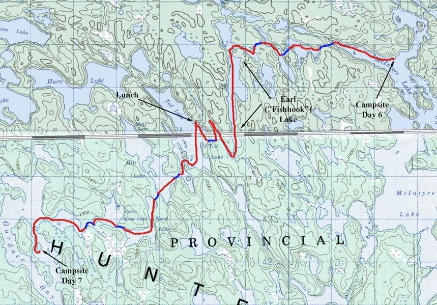
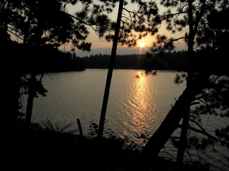
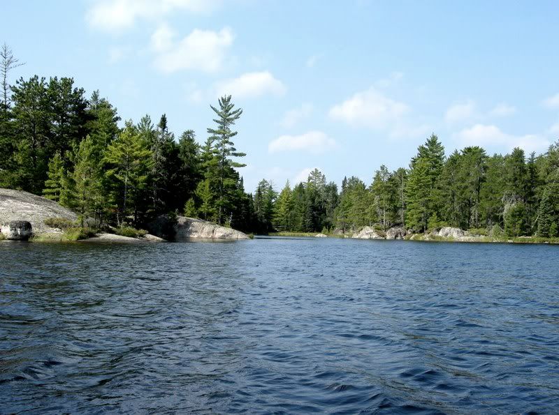
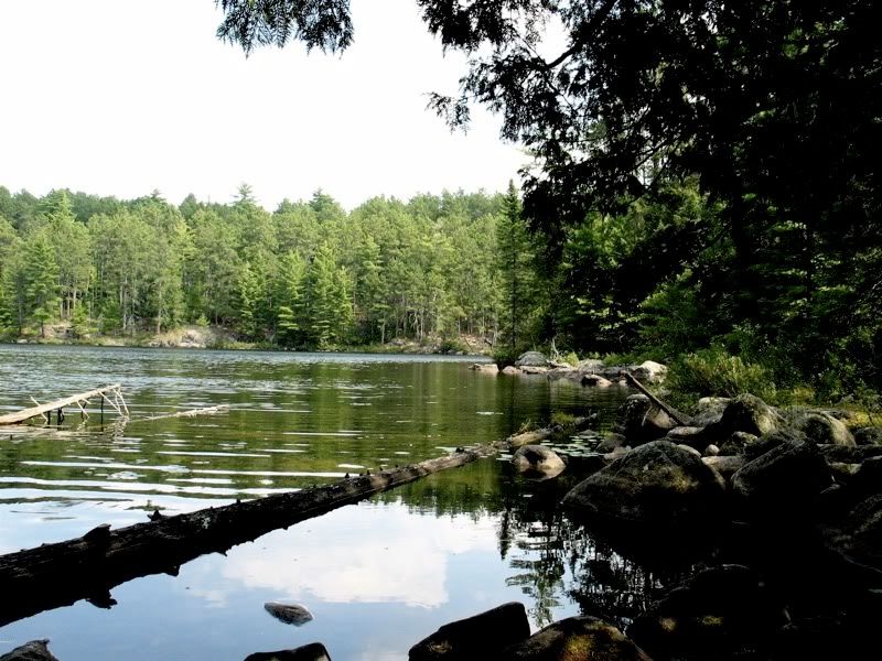
After taking it easy yesterday, I got up with first light on McIntyre Lake -
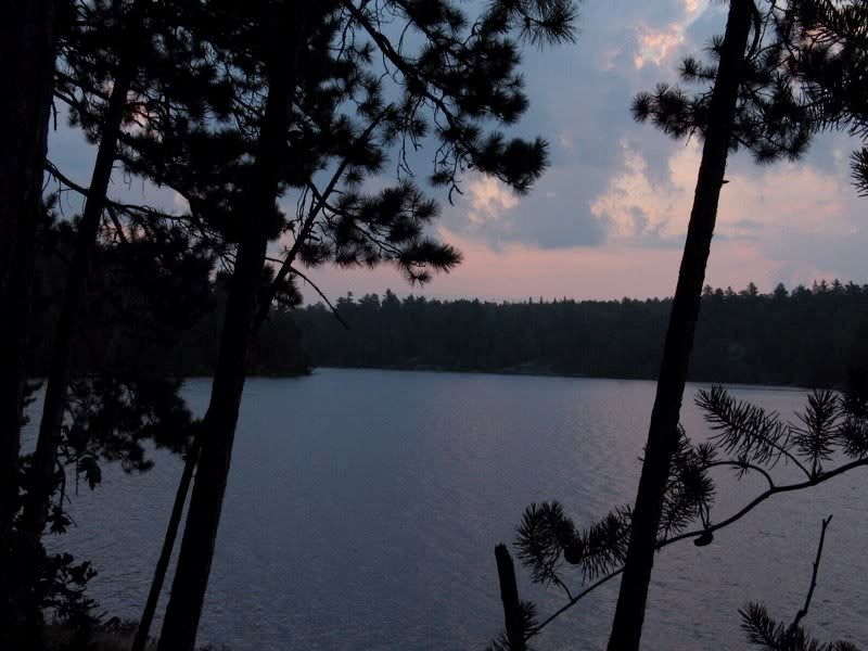
Our south-facing promontory was a great place to drink the morning's coffee, accompanied by the south wind that never stopped blowing overnight -
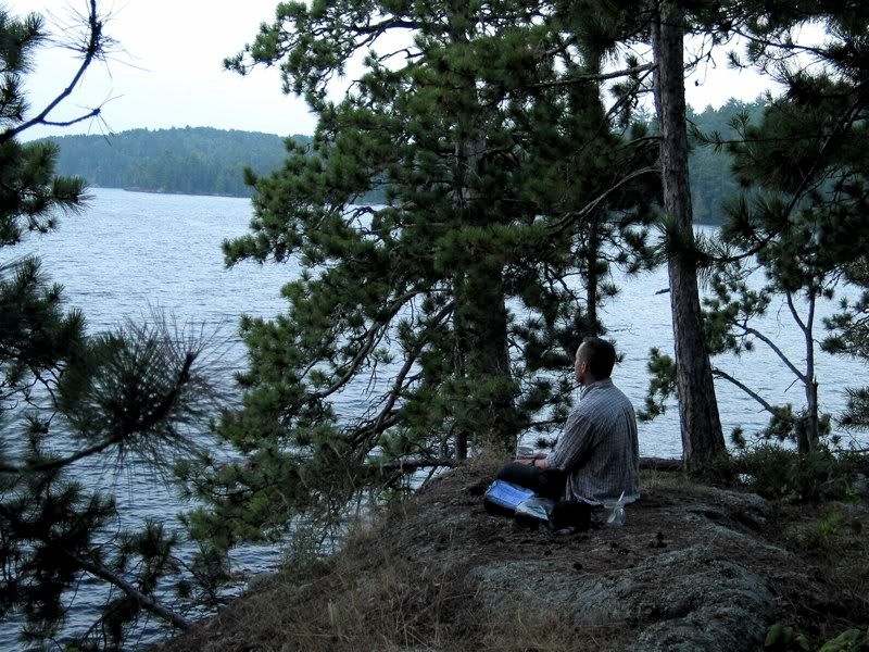
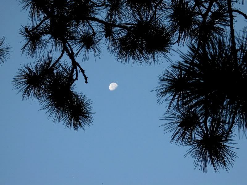
The sun came over the horizon -
While the moon was still visible overhead -
I was excited about this day. In 2005 we traveled in the opposite direction, from the southern end of Earl Lake, via a couple of Unnamed Lakes, to the southern part of McIntyre. It was one of my favorite parts of a great trip. Now we were heading from the northern part of McIntyre into the northern part of Earl, via a couple of different Unnamed Lakes. We figured this route would be even less traveled than the Death March.
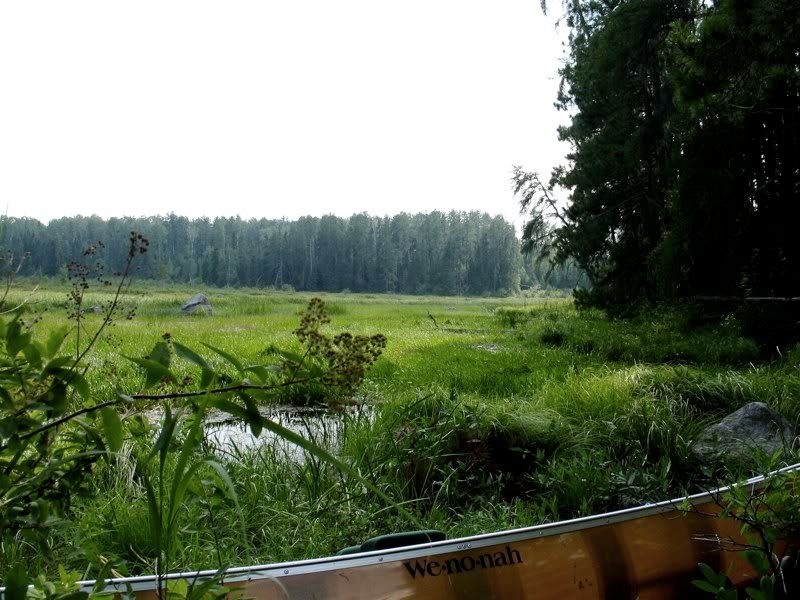
We got on the water about 9:15, and paddled east a mile to the portage to First Unnamed Lake. Here we look back at the northwest arm of McIntyre from the portage landing (the day was already getting hazy and warm) -

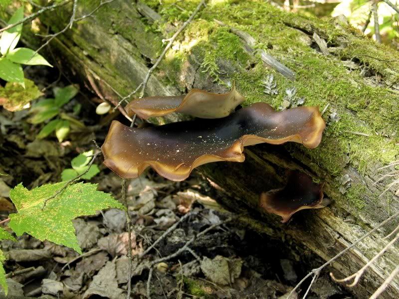
The portage to First Unnamed starts by going up very steeply. This fungus was making fun of us -
In the middle section of the portage is a stretch of granite you walk along -
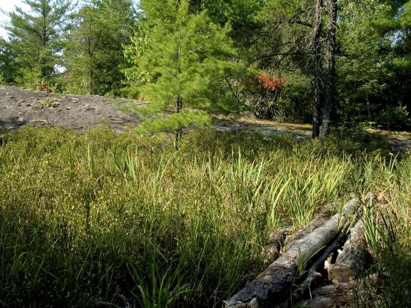
The reindeer-lichen-covered slab keeps going after the portage path veers off -

The other end of the portage, at First Unnamed Lake -
Here David is modeling the "portage burka" (bandana hanging from hat). It works wonders keeping away those pesky bugs that for some reason love to munch on the nape of the neck -

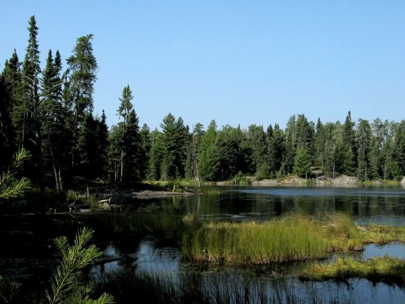
Crossing First Unnamed Lake -
The landing at the portage to Second Unnamed Lake is a slot of water that extends into a grassy zone next to a low wall of rock -
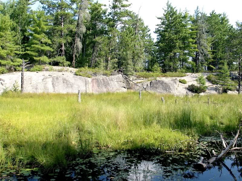
After some wet patches near the beginning, this portage descends through a rocky defile next to the outlet creek from First Unnamed to Second Unnamed. Portaging through rocky defiles with outlet creeks was a minor theme of the day.
Second Unnamed Lake is long and skinny, oriented north-south. Our route took us a short way northbound through the narrowest part. It is a spectacular little lake. The portage from there to Earl Lake starts where the outlet from Second Unnamed seeps over a natural granite dam (which a beaver has augmented with a little wood) -
This is a wonderful but somewhat difficult portage. It follows the outlet creek through tall wildflower meadows over giant boulders that could easily snap your ankle with an ill-placed step. Then the path suddenly veers off into the woods before arriving at Earl Lake. I had to set the canoe down a couple times to find the right route. The recompense was the profusion of wildflowers -
On our way back to get the rest of our gear, we built some cairns to mark the portage route for future travelers. Impromptu portage maintenance is fun.
After our second trip across the portage (guided by the new cairns), we launched into the long western bay of Earl Lake. As we paddled out toward the main north-south part of the lake, we could see the wind was really whipping up from the south. Before rounding the point from our sheltered bay, we stopped to put on our PFDs - the first time on this trip - and lash down the packs.
The trip down Earl was a wild ride. It's amazing that the wind can whip up the water so much on a lake that is so narrow and just a few miles long. It was blowing hard the whole way. Sometimes it gusted so strong we seemed to just freeze in place, even though we were paddling with all our might. In reality, we were making steady progress, and eventually we got to the calm southern tip of the lake. There we turned north into the "fishhook" that gives Earl it's other name and leads to the portage to Ted.
We scouted this way in 2005, when we camped on Earl. Even though we were headed to McIntyre then, we paddled up into the fishhook of Earl just to look around and locate the portage to Ted. The obvious, well-used portage landing (at least as seen from the water) is right at the northern tip of the hook. So we headed there now. We came to the obvious spot, and I jumped out for a look around. But the path just petered out in the woods, leading nowhere. We scouted a bit more, checking other likely spots where the portage might start, to no avail. Lesson learned (again!): You can't verify where a Quetico portage is from the water. You have to get out on land to make sure it goes somewhere.
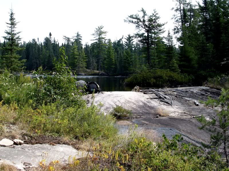
Now we had to find the real portage. A glance at the map showed that the hook of Earl parallels Ted for a couple hundred yards. So we paddled along those couple hundred yards of shore, looking for any sign of a trail. We were just about to give up and backtrack for a second look when we came to a well- worn landing right at the "barb" of the fishhook, where the outlet creek flows out of Earl to Ted. This is well south of where the portage is shown on the PCD and the Adventure Map, two sources that are usually pretty accurate for Quetico portages. Well, no harm, no foul. Looking back at Earl from the landing -
The portage from Earl to Ted is another one that follows an outlet creek through a rocky defile. In places you're hopping over small boulders squeezed between a looming cliff on one side and the rushing stream on the other. The landing on Ted is under a big Cedar, with a view of the main Ted campsite on the point just ahead -

We made a beeline for the campsite to have lunch and (maybe) stay the night. In 2004, we came up here on a day trip from Elk Lake via Hurn, and I had been wanting to return for an overnight stay ever since. Ted is a beautiful lake with high cliffs all around. But with the south wind whipping up the waves again, we couldn't pause to take in the scenery as we paddled to the campsite.
When we got there we found a sheltered spot to tie off the canoe and had lunch. The fire ring was on the point and exposed to the brunt of the wind, so we hid behind some trees and rocks to eat and discuss our plans. I wanted to stay on Ted, but David wanted to go further. He was concerned that if the south wind kept blowing, we would have too far to go tomorrow to get within striking range of our Mudro exit the next day. It was only 1:00 o'clock, and even though Ted is inviting, this was not the best day to stay at a campsite exposed to the south wind. So we decided to go on.
First, though, I had to check out the message cairn. There wasn't much time, but I found the note I left in 2004 and added a new one. The notes were organized by year, but I couldn't find a baggie for 2008. Even though it didn't seem possible that we were the first people to leave a note this year - it was late August, after all - I started a ziploc for 2008. Sadly, there wasn't enough time to read the other messages. Something else to save for a future trip.
Then we gathered up our stuff to shove off for the afternoon's journey -

We headed into the wind and waves to the south shore of Ted. Once in the shelter there, we weaved our way through a few points and islands into the bay where the portage to Milt Lake was supposed to be.
We were aiming for another series of portages that not too many people seem to take, from Ted via Milt, Newt, and Little Newt to Gardner Bay of Crooked Lake. The only account I could recall reading was from TimA (I think). I seemed to remember mention of muck and obscure trails. In other words, a tempting route.
So when we found the portage from Ted to Milt, it was kind of a disappointment. Once we unloaded, the trail was pretty clear and easy. It does go down steep (so it might be a workout in the other direction). But otherwise, by Quetico standards, it was a pretty straightforward portage. Here's the final slope down to the put-in on Milt -

Milt looked like a nice lake. There's supposed to be one or two campsites on it. It might be worth checking out for a stay. But we'd made up our minds to head for Gardner Bay, so we didn't pause to reconnoiter. We went straight for the portage to Newt Lake. As we were at the south end of the lake, the wind was not much of a problem here.
The Milt-Newt portage also goes downhill steep. We were descending a lot ever since First Unnamed Lake and especially since Earl. It was like we were coming down from the highlands into the tame border region.
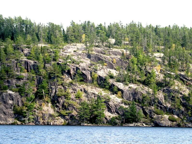
Newt Lake is interesting. The eastern shore is marked by cliffs that are like sentinels of the highlands from which we came -
In stark contrast, the western side of the lake melts into a vast spruce bog. The portage to Little Newt lies in that direction. The wind swirled around the main basin of the lake as we paddled across. According to the map, the portage should be in the northwest corner of the lake - an especially marshy section. Surely, though, we would find the portage just a bit south of there, where the ground looked a little drier. Nope.
The portage really did start in the marshy area at the northwest corner of the lake. There was a path through the grasses - though whether you were supposed to paddle up it or portage over it was not obvious. At current water levels, the first dozen rods were basically very wet muck, too thick to paddle, too thin to carry over. So we hopped out and dragged the canoe through the muck and under the downed spruced you can see in the picture below, till we got within reasonable proximity of terra firma -
Once we were there, the portage was level and easy. But after the first trip across my sunglasses were missing. I looked for them along the trail as we walked back for the second load, but didn't find them. So I ventured out into the muck. There they were, almost completely submerged in loon excrement by the downed spruce.
At the other end of the portage, the landing on Little Newt has a firm bottom, so loading up was easy enough. First I had to clean off my sunglasses -

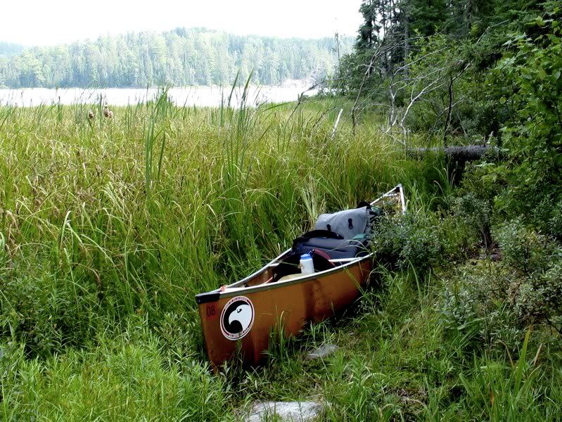
Then we crossed the small lake. More muck awaited. The portage to Gardner Bay lies in this little cove -

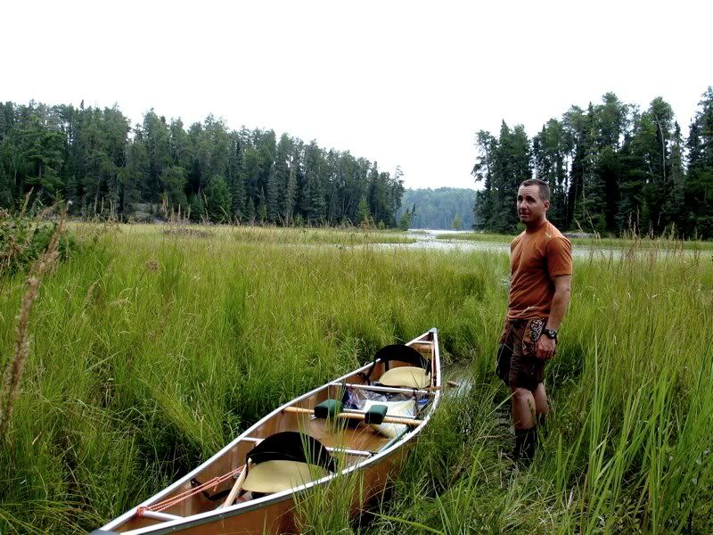
We looked around for the portage. A watery trail led into the marsh toward land. It looked just like the beginning of the portage back on Newt, so we figured we were at the right spot. We pushed the canoe through the muck with our paddles, and with an occasional kick with one boot while the other stayed in the canoe. After going like that a few rods, we got stuck. Fortunately, the grassy hummocks surrounding us were dry enough to get out and walk. But where was the portage? After scouting over the grasses a minute, we found the real trail, which starts on fairly dry land under an old blazed Jackpine right at the lake's edge. Here I am back at the canoe after the scouting, giving my best skeptical look -
We carried our gear across the grass to the real portage, which goes through the woods a short way before coming out into and crossing a large meadow -

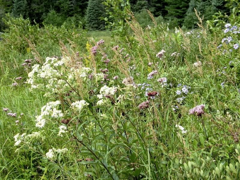
Contrary to first appearances, the path through the meadow was completely dry. It arcs through the Joe-Pye-Weed and other late summer wildflowers, and then goes through a few more trees, before ending at the shores of a marsh masquerading as Gardner Bay -
We looked around to see if the portage continued to open water. No, this was it. So we loaded up and tried to find a route through the marsh to the real bay. There were some obvious channels, but also some spots where it's a pretty undifferentiated grassy expanse -
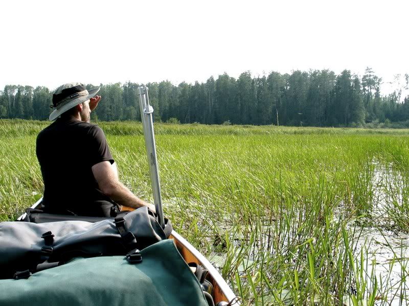
The good news was that the bottom was firm sand. So when things got shallow, it wasn't hard to jump out or use one foot to propel the canoe along. If you're ever coming in the opposite direction, from Gardner Bay to Little Newt, you'll find the portage landing at the very easternmost tip of the eastern extension of the Bay, where the little creek that drains Newt and Little Newt flows in. Just keep going through the reeds and rushes as far as you can without actually hitting a tree. My guess is that most rational people turn back before they ever get that far, and take the very nice route through Elk Lake to Ted instead. Which is fine. It's a good thing there are still some routes that most rational people shy away from.
Eventually a clear channel opened up between the reeds through the marsh. There was a big Beaver lodge in there, and Black Ducks flushed as we paddled by. The grasses disappeared, giving way to open water. We rounded the narrows into the north-south part of Gardner Bay, east of the big island that bisects it. In a few spots, we could barely squeeze the canoe through some rocky narrows.
We were headed for an island campsite we happened upon when we stopped for lunch in 2004 on our way from Elk to Crooked Lake. Now, four years later, we got to the site about 5:15 - eight hours after we left our McIntyre camp this morning. It seemed like we had come very far, traveling in a single day over some of the more remote lakes and little-used portages in this part of Quetico, leading to a campsite on a border lake. A very back corner of a border lake, but getting closer to well-traveled areas. The sensation of moving back toward everyday life and "civilization" was palpable.
And yet we were still far removed from everyday life and "civilization." We had not seen anyone all day, and no one was around now. Our campsite was obviously a favorite stopover for a few paddlers. There were several well-built fireplaces and pits scattered about. A rope dangled out of reach in a high White Pine. It reminded us of our rope stuck in a tree on the first night of our trip on Grey Lake. But unlike us, the people who got this rope stuck never managed to get it down. Big granite ledges overlooked the bay on several sides, and provided access for a swim - and for cleaning the muck out of our boots and socks. The site seemed "big," but there were only a couple good places for tents. It was tame and wild in equal measure.
We set up camp, went for a swim, cooked and ate dinner. An Eagle and an Osprey soared overhead, while a Merlin called from a nest just out of sight. The granite ledges by the bay were a perfect setting for a nightcap of Maker's Mark. The weather was getting more overcast and humid, and with the strong south wind that never stopped blowing all day, it seemed a storm might be on its way. Our eyelids grew heavy, and we made an early retreat to the tent for a good night's sleep.
 Donate - BWCA.com