Quetico 2010
by Ho Ho
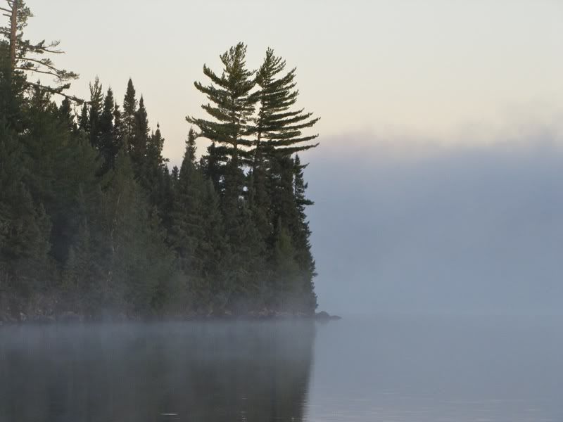
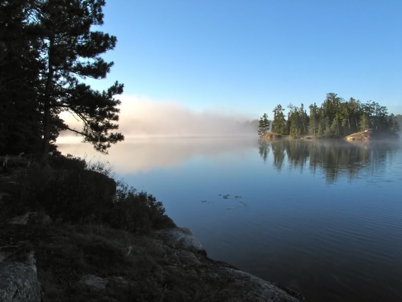
For the fourth night in a row, I slept very soundly at our Brent Lake campsite. But this time, unlike the previous three mornings, we woke up to beautiful weather, and we actually got out of the tent around dawn. After two days of cold north winds, and then a windless clear night to let the remaining warmth rise to heaven, the morning was calm and crisp. Perfect conditions for a wall of mist rising from the lake -
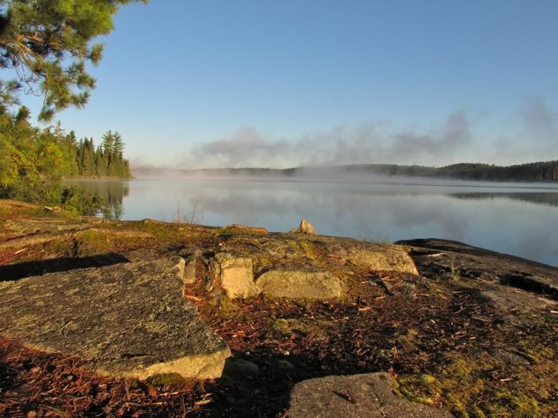
We carried our first mugs of coffee to the eastern side of our little island to catch the warmth of the rising sun. A bit later, the sun got high enough to flood the open pines around the campsite -

Lingering mist in the morning sun -
Sorry, I can't help myself, here's another -
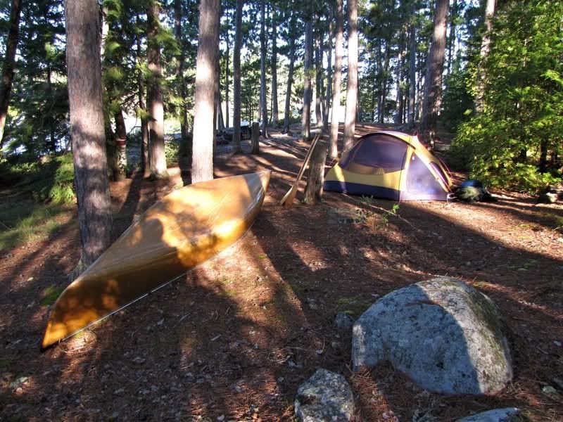
Our tent, with the canoe tied down nearby -
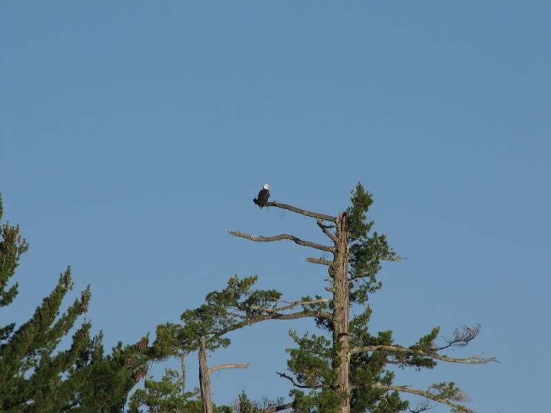
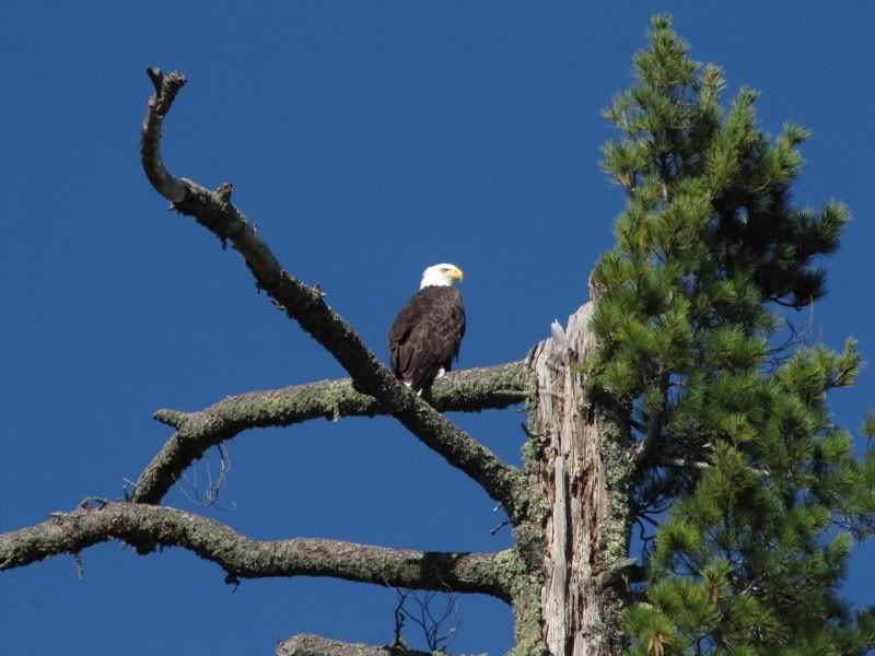
After a couple hours the mist burned off completely. It was a radiant morning. Across from us on the mainland, a bald eagle stood watch from the limb of a snag. You can just barely see him to the right in this picture -
Zooming in -
We like to enjoy our mornings in camp, so even though we got up today about 6:15, we didn't leave camp until 9:45 or maybe a bit later. When we finally got on the water, we paddled across the channel to where the eagle was still perched and got a closer look at him (or her) -
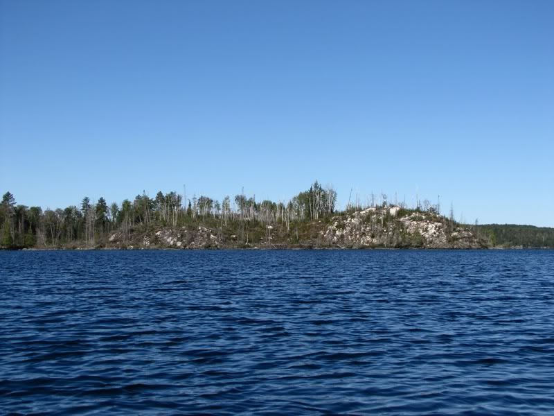
Just around the bend was a recently burned point with exposed bedrock -
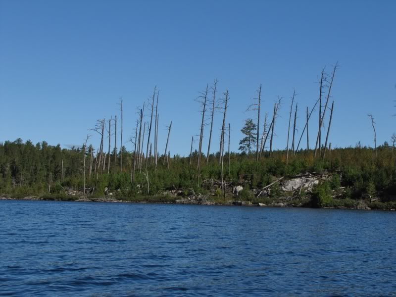
And a bit to the north was an island that had also burned some years ago, with a new forest of saplings -
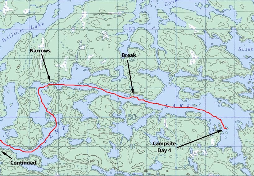
We had been on Brent Lake three times in the past: at the far western end traveling from Darkwater to Cone in 2004; in the middle traveling from Conmee to Earl in 2005; and at the far eastern end (where we were now) traveling from Suzanette to McIntyre in 2008. But we had never paddled the length of the long lake.
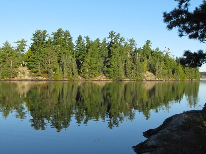
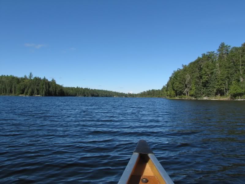
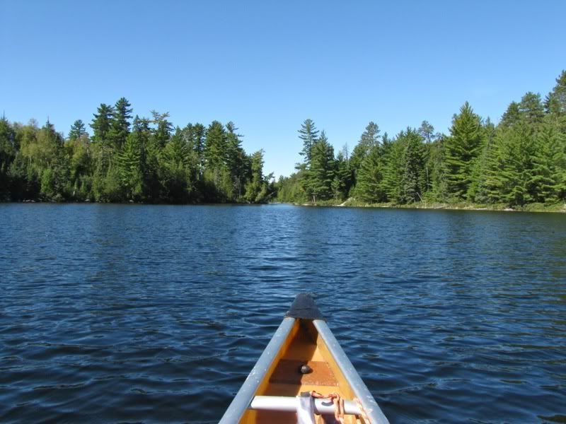
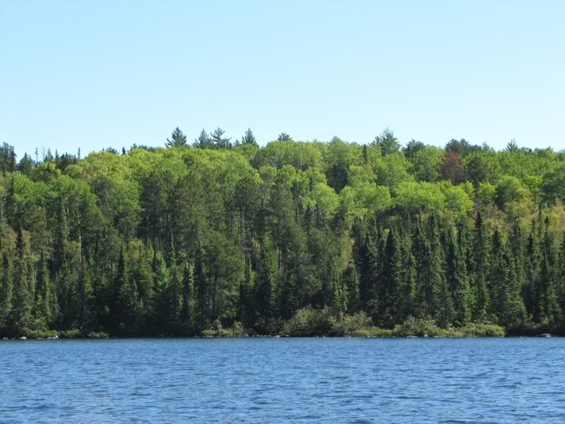
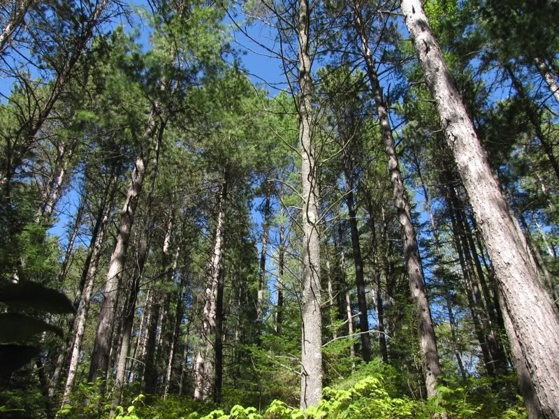
So that's what we decided to do today. Notwithstanding a few burned areas like those pictured above, most of Brent Lake is surrounded by a tall conifer forest. Heading down the main axis of the lake -
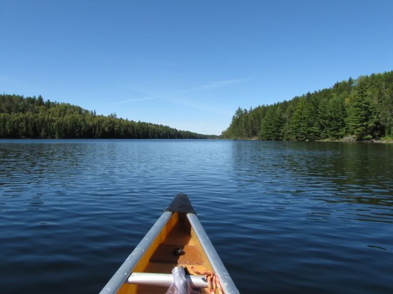
Although the wind was mercifully light today, it had turned so that now that we were paddling due west, it was (of course) coming straight from that direction. I would not have complained about a light tailwind instead. It was not to be. At least not on this trip. But it was a picture perfect day, and if we had not had stronger headwinds much of the rest of this trip, I would never even have noticed the breeze today.
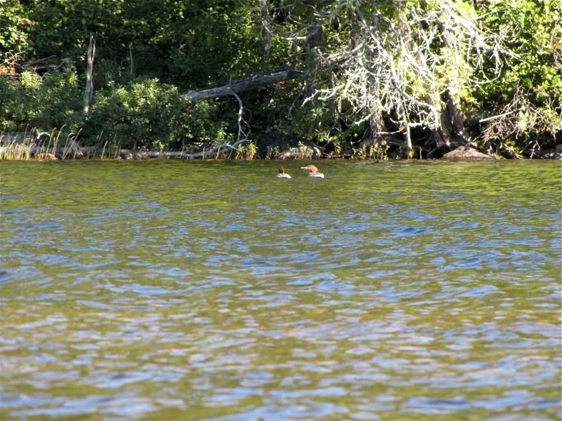
Continuing down Brent, we said hello to a couple of mergansers as we paddled by -
I'm always interested in exploring possible campsites as we go along, for future reference or just out of curiosity. I've marked my maps with all the sites shown on the PCD. Some of these don't really exist (and some sites are not shown on the maps or the PCD at all). But it's always fun to see what's at the spots that are marked but have no comments in the database. Until you check them out, you have no idea if they actually exist or what they might be like.
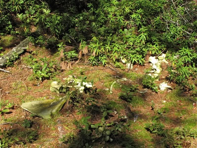
So after we had been on the water a bit more than an hour, we steered toward one such spot for a pit stop and power bar break. The spot was a little point on the north shore of Brent. From the water it looked very promising as a campsite. And when we got out and looked around, we found a very old, disused fire ring. But otherwise no signs of use. Other than by a wolf pack (so we surmised) that had brought down a moose at this spot some time in the past. Long enough ago so that the bones and antlers had a nice patina on them -
After an enjoyable interlude investigating this scene, we continued westward down Brent Lake. As the day warmed, the sun and light breeze conspired to make pleasant tshirt weather.
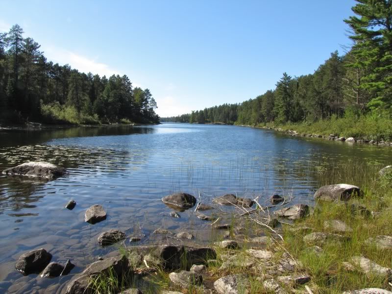
After a while we approached the narrows where the lake transitions from its main east-west axis to the curvy western end. This is one of those not infrequent yet seemingly unlikely places in canoe country where the opposite shores of a lake come so close together that you can almost touch both sides at the same time from the canoe. I'm always amazed by these little passages where a lake sneaks through to continue for miles on the other side -
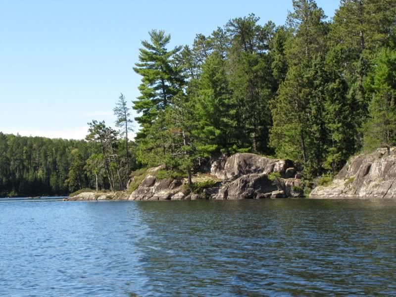
After sneaking through ourselves, we looped south along rocky shores -
Arcing west again, we noticed these slightly yellowing aspens on the hillside signaling the early onset of fall -
Approaching the west end of Brent -
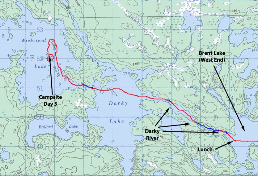
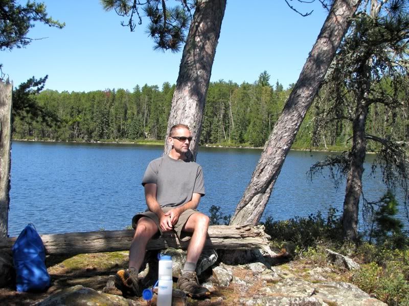
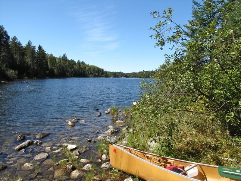
Nearing the end of Brent, we decided to eat lunch before starting down the Darkwater River with its series of portages to Darkwater Lake. So we stopped at a little islet just before the first portage, where we had also eaten lunch on our way from Darkwater to Cone and Elk in 2004. David at our lunch spot -
As we were finishing lunch, we could hear people coming up the portage from the river. Eventually they appeared at the landing on the lake. Funny, but the only people we saw on Brent Lake were at the portage into the lake yesterday, and now at portage out of the lake at the opposite end today. Everything in between we had to ourselves.
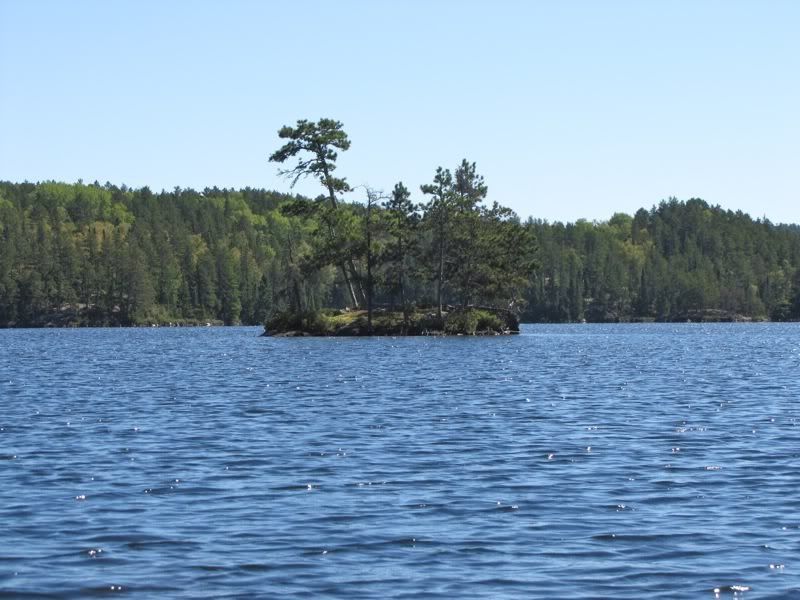
While the other group was still portaging, we finished up lunch and resumed our journey. Looking back at our lunch islet -
A minute later we were at the portage landing. While we waited offshore for the other group to load up, we chatted with them and learned they were from Switzerland near Zurich. I failed to ask how this Swiss Family Robinson had found their way to Quetico. After our trip, we heard through the grapevine that this group had been to the park several times before. But I'm still not sure how they found this little-known paradise in the first place.
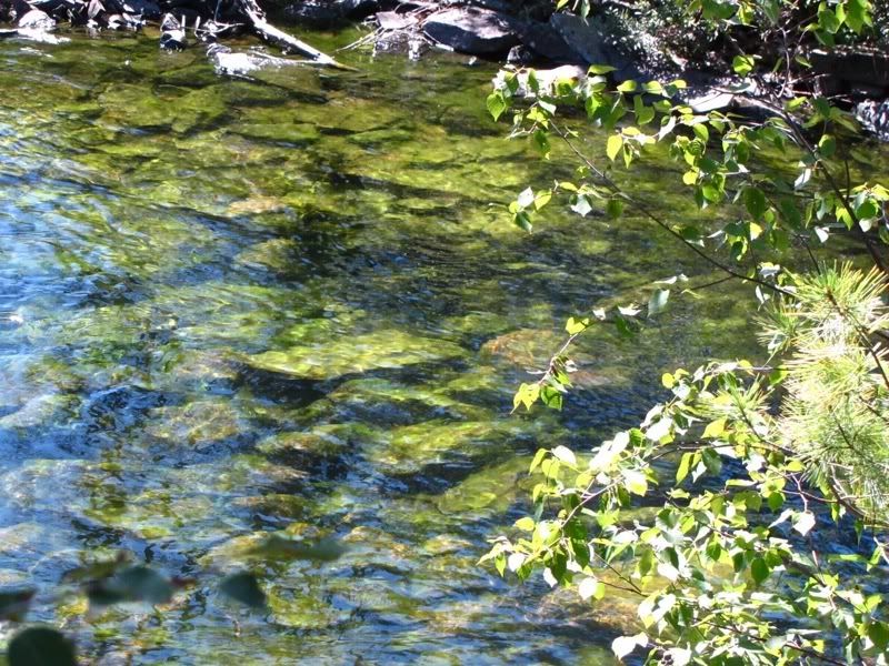
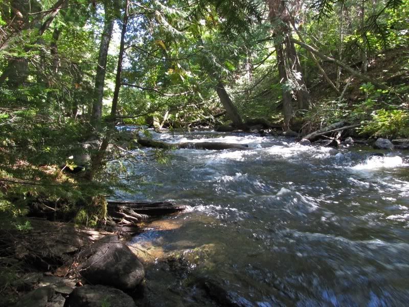
After the Schweizer paddled off, we unloaded and carried the first portage out of Brent and into the river. It's a short but steep detour around some rapids. Where the river flows out of the lake the submerged rocks were mossy green -
Looking back up the rapids from the downstream end of the portage -
A short paddle from there brought us to the second, 200-rod portage that goes around a series of rapids and pools in the river. This was the longest portage of the trip so far. At the shallow takeout -
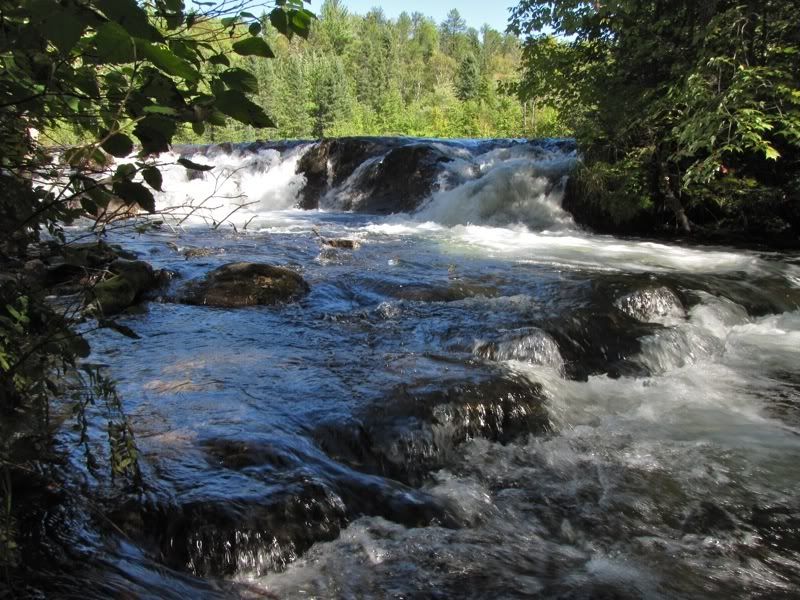
At various points along this portage you can hear the roar of the nearby river going over rapids or small falls between pools. This is one of the more dramatic drops -
Forest along the path -
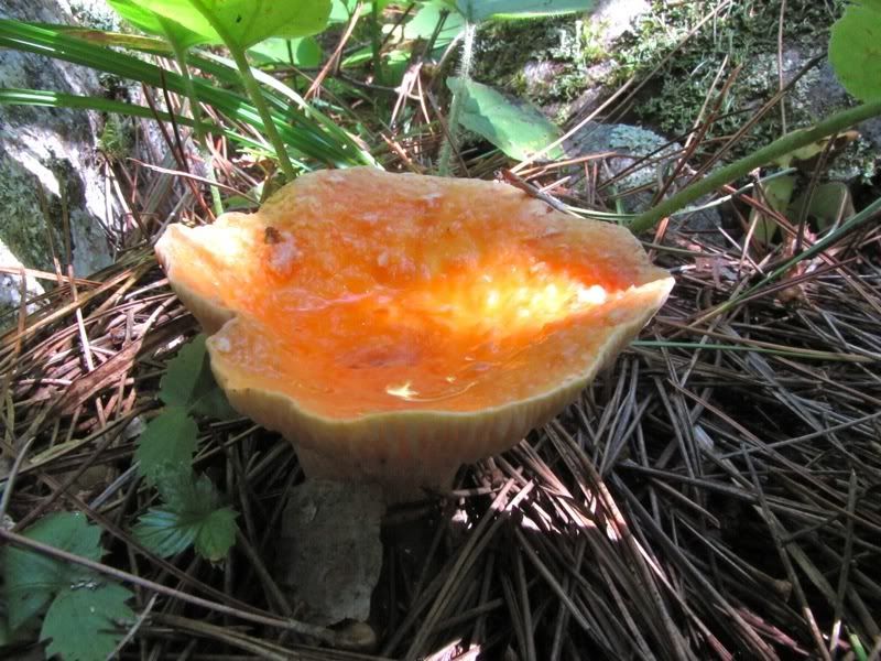
Orangey toadstool -
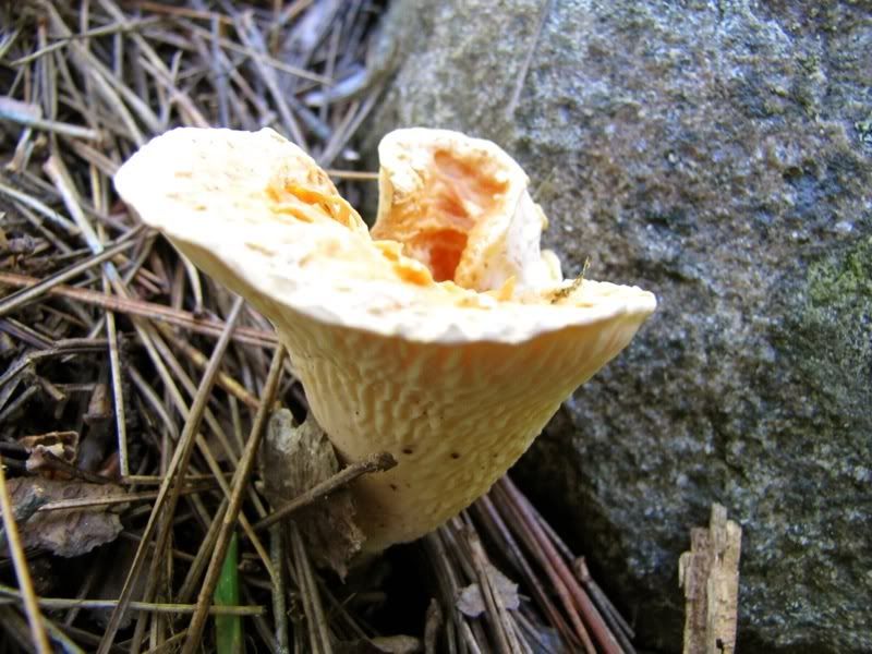
Creamy trumpet -
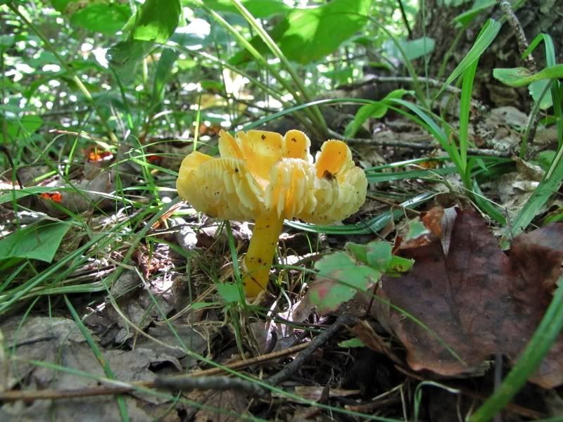
Pale yellow something or other -
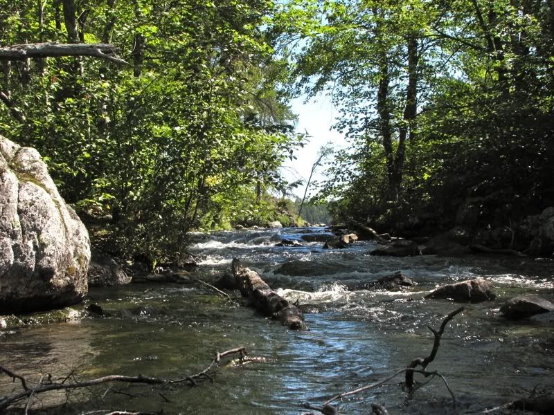
Rapids under cedars downstream -
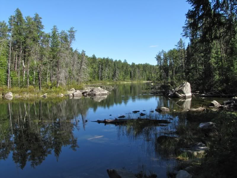
The portage ends at another wide stretch of river -
From there it's about another half mile paddle to the third and last portage on the river. At the takeout for that one -

This is a very short and easy portage. Putting back in on the downstream end -
By now it was getting close to 4:00, and we still wanted to paddle across Darkwater Lake and portage into Wicksteed to camp for the night. When we had camped on Darkwater back in 2004, we spent a few hours one afternoon paddling around Wicksteed, and we had always wanted to return and camp there. So we were going to make a detour to Wicksteed for one night now.
We were planning to cross back through Darkwater Lake again tomorrow, so we didn't pause as we paddled the last half mile of the Darkwater River and across Darkwater Lake on this warm and beautiful late afternoon. We only saw one occupied campsite on Darkwater, which was surprising for such a popular lake.
When we got to the portage to Wicksteed, David stayed behind at the landing to purify some water while I carried the canoe across. The portage seemed longer than its advertised 45 rods. As I was finally getting to the other end, a tandem canoe was pulling up out on Wicksteed, with the guy in the stern yelling "the portage is over here!" When he saw me he was a little sheepish and apologized for the shouting. Their group had not seen anyone else all day since leaving the entry point on McAree Lake, so they figured no one else was around. Apparently they had had some trouble navigating on Wicksteed (which can be confusing with all its islands) and then couldn't find the portage right away.
It was a group of six from Green Bay, four men and two women. They had done several BW trips before, but this was their first Quetico trip, and they thought the portages between McAree and Wicksteed were pretty rough. We've never gone that way, but I have heard there's one killer portage in there. Now they were pushing to set up a base camp on Darkwater because, they said, a big nor'easter was blowing in overnight and the weather was going to get nasty for several days. I gave them some advice on Darkwater campsites, suggesting one of the sites on the northeast island for shelter in the coming storm. Then, after David and I finished carrying our gear across to the Wicksteed end, we parted ways with the Pack fans and went looking for our own campsite.
But now we were suddenly nervous about the weather, even though the evening was perfect. Ignorance is bliss, and I would have preferred not to know about the alleged coming storm and just enjoy the present. But once you know, it's hard to ignore that kind of information, particularly when picking a campsite on a lake like Wicksteed, where potential campsites are often on little islands.
We started our camp search by looking at a possible site on a small point, not far from the portage, that would be sheltered from a northeast front. But it was just too primitive, even for us. So we headed into the middle of the lake to find an island site I had heard was good. Here we had our own navigational difficulties distinguishing among all the islands on Wicksteed. The island we wanted was roundish, and I thought we were heading for it. But as we paddled up beside it, it kept stretching out to the north. Finally I realized that this was the long north-south island a little northeast of where we wanted to be. I had been fooled because it looked roundish when approaching its narrow south end.
Looping around the north end of the long island, we headed back south to the one we were looking for. As we approached it, we could see signs of use on a little point jutting north from the island. It sure looked exposed to a possible nor'easter, though. Hoping for more shelter, we paddled around to see if the campsite was on the southern side. Nope. So we circled back to the northern spit for a closer inspection.
We found a small, nice, somewhat primitive site with great views. Any other evening we would not have hesitated to stay. But we were a little anxious about that storm. There was another recommended site on an island about a kilometer further east. Still, by now it was getting latish (probably about 5:30), we didn't know what we would find at the other site, and going there would take us further across open water in the event of a northeast front. So we decided to spend the night where we were.
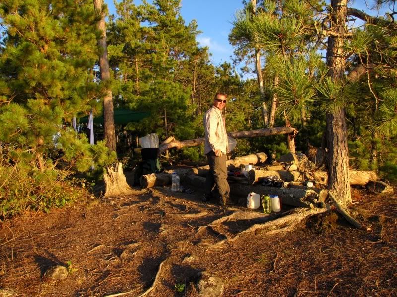
Unloading was a little perilous because there was a colony of yellow jackets nearby. After avoiding that hazard, we speedily set up camp. We put the rain tarp up as a precaution in case the predicted storm moved in over night - 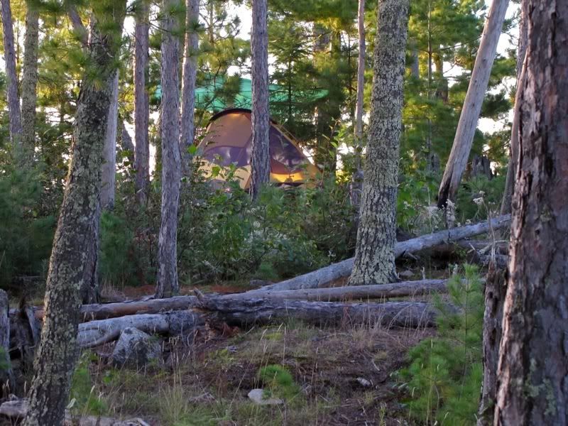
Then we went for a swim and cooked our dinner of freeze-dried beef stew (which was not nearly as good as last night's burritos). Evening light flooded the kitchen area -
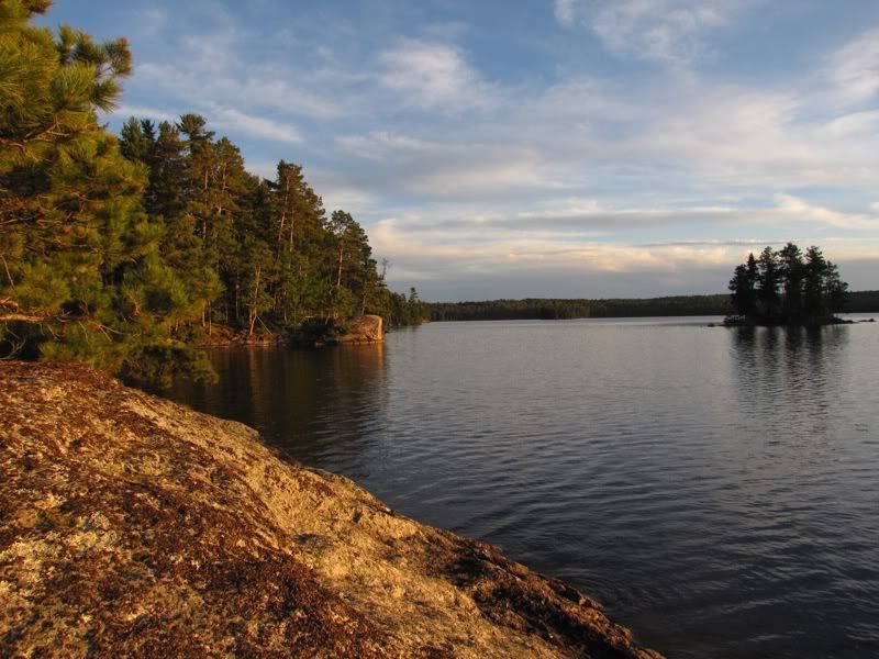
Looking out from our little point -
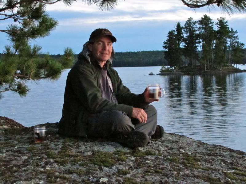
As night fell, we broke out the Maker's Mark (please don't look too closely at how many ounces are in those cups) -
From our listening point in the still evening, we could just barely hear rapids in the distance to the north. Consulting the map, we figured they must be the rapids downstream on the Darkwater River, about a mile and a half away.
After our nightcaps, we got in the tent and read for a while, then turned out the lights about 10:00. We had the fly staked in and ready to go if it started raining, but we didn't put it up so we could enjoy the stars on this clear night.
About 3:00 in the morning I was awakened by the very vocal loons of Wicksteed. Overhead the bright stars were still shining reassuringly above us.
 Donate - BWCA.com