Quetico 2010
by Ho Ho
I woke up for a few minutes sometime during the wee hours of the morning and saw stars shining in the night sky through the fly window. So I went back to sleep with hopes of a sunny morning.
But when we got up at dawn (about 6:00), it was mostly cloudy again. We thought maybe the grey was morning haze that the west wind would blow out as the day progressed. About an hour later, we were rewarded with lots of blue sky -
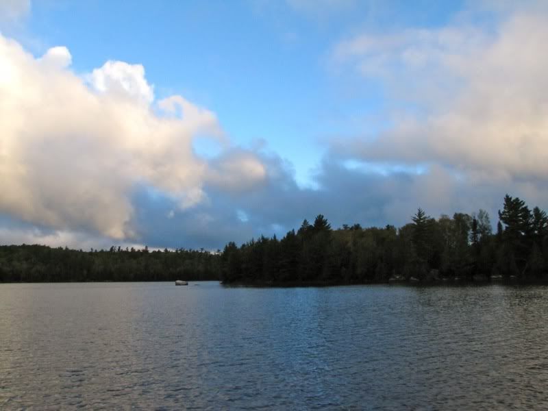
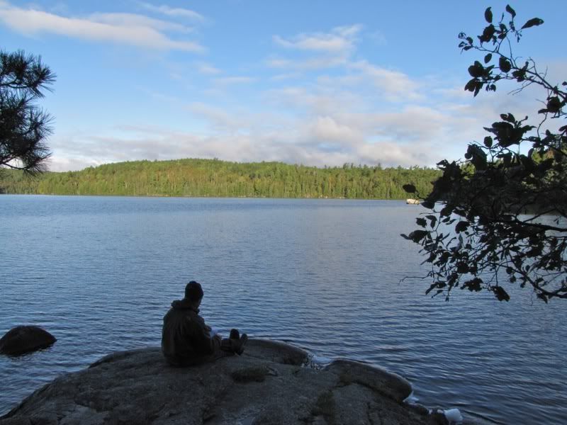
I hadn't taken any trip notes in the three days, since our morning on Brent. So while we drank coffee, I sat down by the water, dressed in multiple layers like last night, and jotted down some of the key events of the past few days -
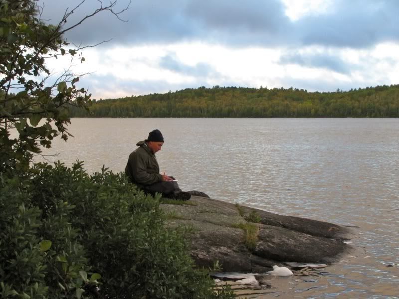
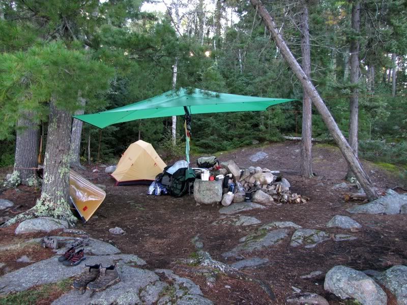
A beaver swam past as I was sitting down there. In the meantime, David took a few pictures of our campsite. Look at that picture-perfect tarp -
Another angle -
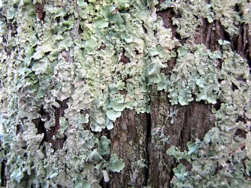
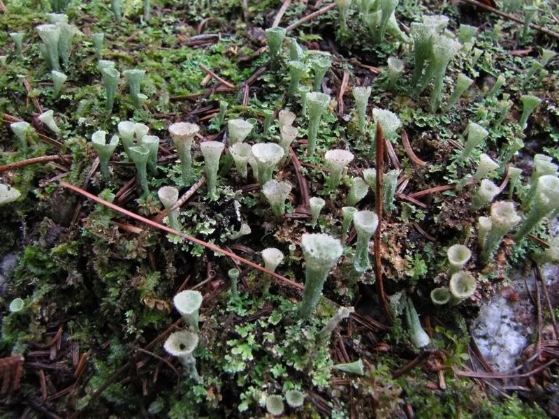
Lichen and bark -
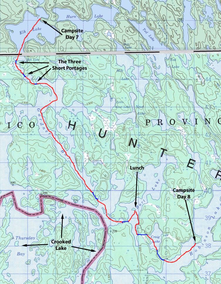
I was still jotting down notes as the sun rose higher behind us and lit up the far shore of the lake -
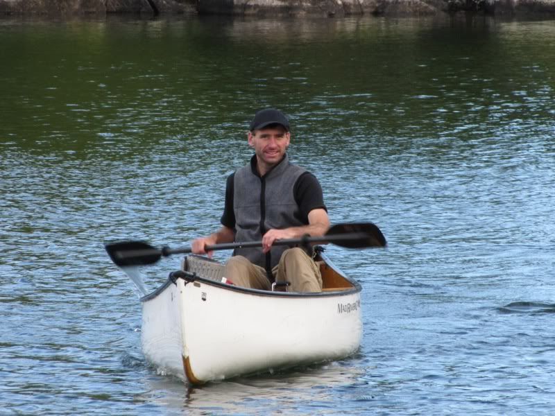
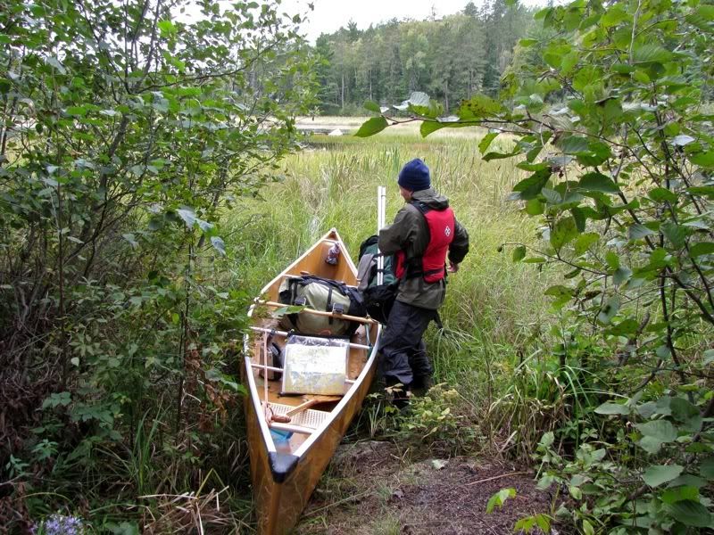
Around 8:00 I started getting ready to cook a bacon and pancake breakfast. Then David noticed a white canoe at the lift-over from the direction of Argo and Cone -
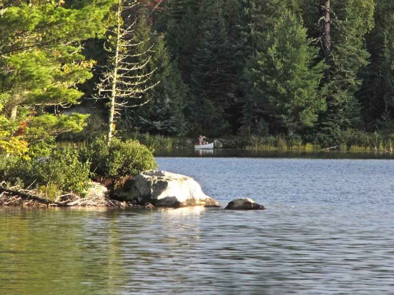
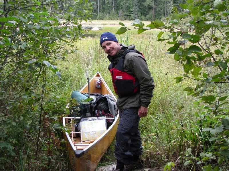
Yep, it was Chris -
Apparently, after a "late" start, it took him about an hour to get from the campsite back on Argo to our site here on Elk. In an omen of things to come, though, he wasn't too happy about the muck on the portage into Cone.
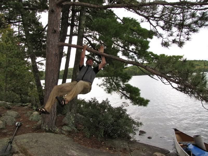
We hung out chatting with Chris for about 45 minutes. He had gotten out to paddle around Argo for a few minutes yesterday during a break in the rain, but got slammed by a squall over by Birch Island and made a hasty retreat to the campsite. I think he had a lot of pent up energy, because now he started swinging on the trees -
We made a plan to meet up later on Robinson, and Chris went on his way -
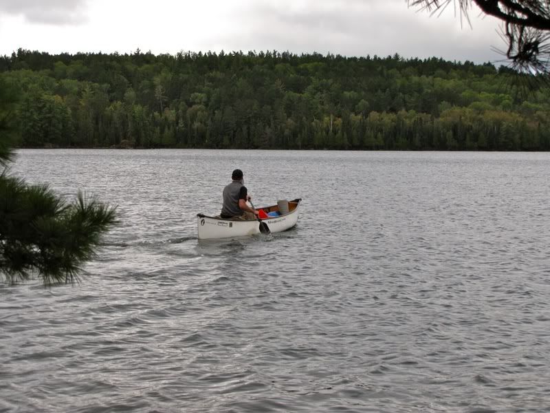
As he paddled off, a cold, cloudy wind blew back in. Brrrrr! So much for the sunshine. I got back to making our pancakes and finished updating my trip notes. Then we finally broke camp. With all the note-taking and the visit from Chris, we didn't get on the water until 10:30 or so. By then, the promise of warm sunny weather had vanished. The west wind was still blowing, but it seemed to be pushing low, cold, damp clouds in our direction. Fortunately, the moisture was mostly staying up in the clouds.
We paddled down to the south end of Elk, whence begins the series of three shorter portages along the river/creek that flows from there into Gardner Bay. When we went this way in 2004, there was a group of ten people in five canoes just ahead of us, blocking the landing of the first portage. Since that portage just goes around a rocky patch in the river, we had tried to leap ahead of the group by unloading and carrying our gear across the rocks in the river, instead of using the portage. That turned out to be harder than we thought it would be, and the big group stayed out in front of us.
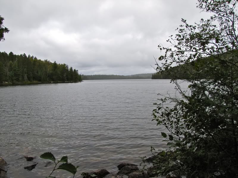
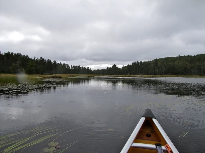
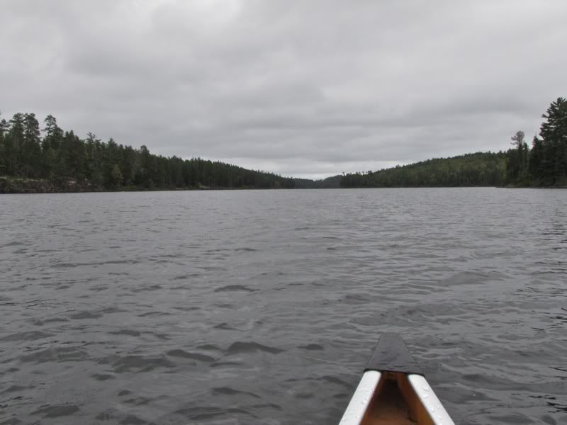
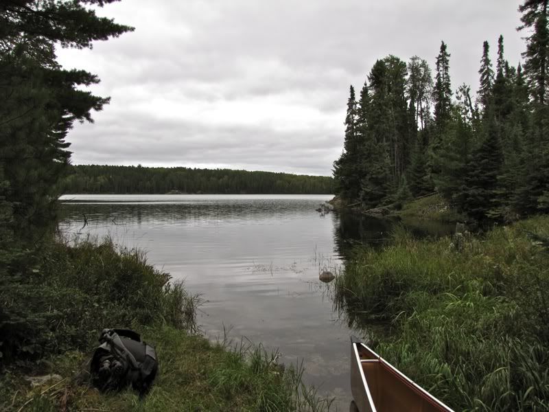
Now we had the route to ourselves and aimed our boat for the proper portage. Looking back from there up the southern end of Elk Lake -
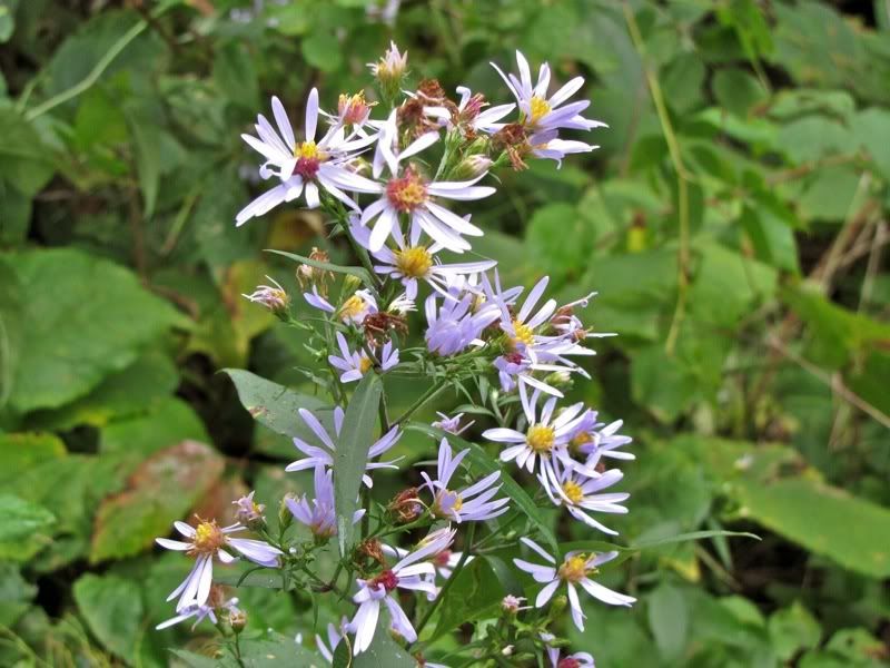
September asters by the takeout -
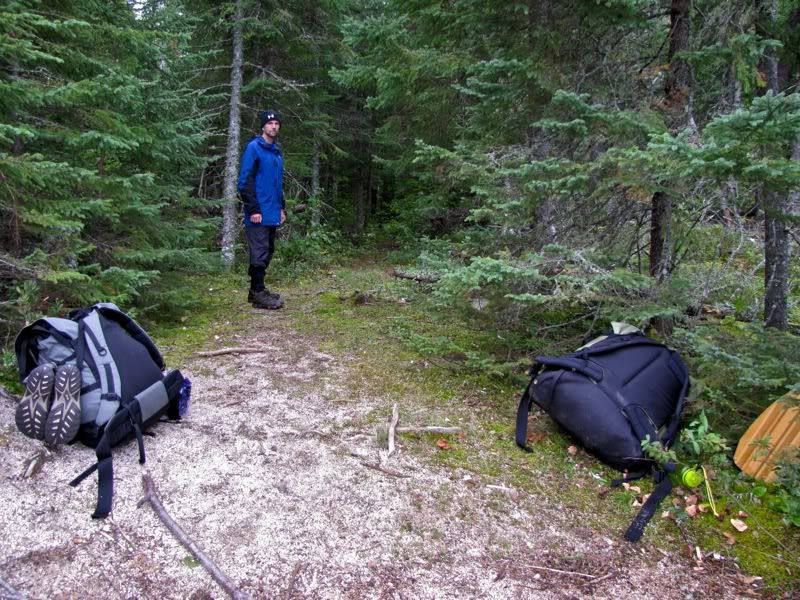
Since this was a short portage, I had the bright idea that we should carry the canoe upright, with one of us at each end, so we would not have to unclip all our dry bags etc. (The three heavier packs were still unloaded and carried across separately.) This experience just proved once again how much easier it is to lift a canoe and carry it on one person's shoulders than it is to carry it two-man, even for short distances. Plus, we were stymied by the absence of an obvious landing at the other end. Eventually we decided to load up in the marsh grasses and try to kick our way out to open water -
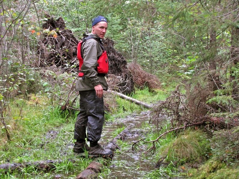
Wearing lots of layers, including the PFD, for warmth -
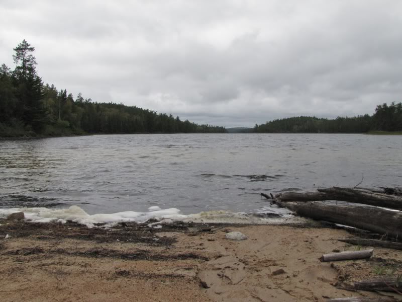
When we got out in the water on the other side, we looked back at the rocky patch we had just portaged around, and decided maybe it would have been easier to unload and toss the gear directly over the rocks after all -
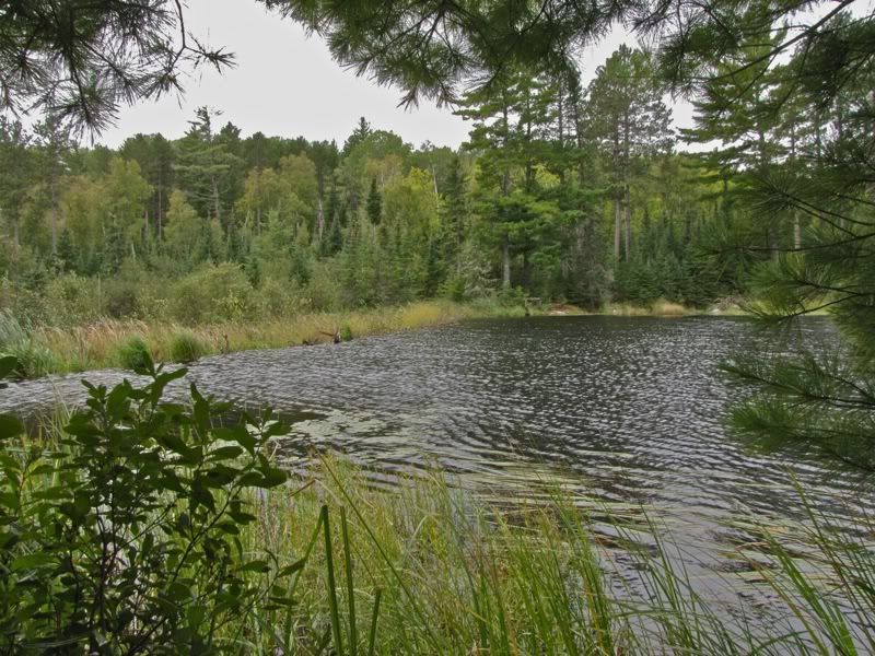
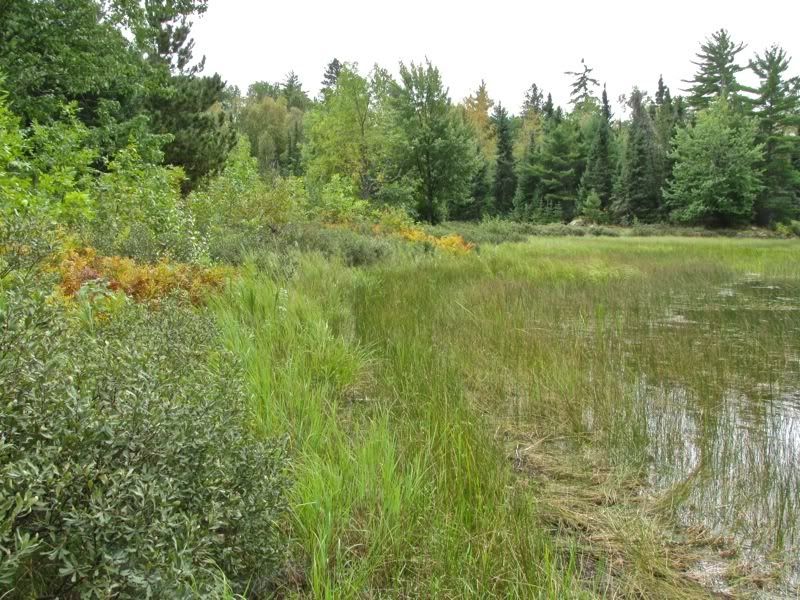
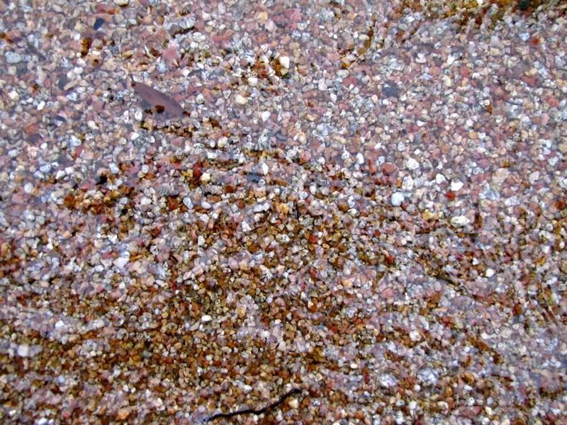
From that first portage, the route crosses a short stretch of wider water into a marshy area. As the lens smudges on this picture show, a few drops of rain fell around now -
At the far end of the marsh is the second portage, which goes around a big old beaver dam that has become a part of the landscape. In 2004 we were still trying to get in front of the ten-person group at this point, so we had paddled hard to get to the obvious take out on the right side of the dam ahead of them. We succeeded in getting there first, but when we got out and investigated, we realized we were at a phantom landing that led nowhere. The actual portage is on the left side. Seeing our mistake, the big group headed for the real landing and were already unloading when we got there. Foiled again!
Armed with knowledge earned from our earlier mistake, and with no need to race, now we paddled directly to the real portage on the left side of the dam. You can see the false takeout calling its siren's song at the other end of the dam in this picture -
Not that we always learn from our mistakes. For whatever reason, at this portage I decided once again that we should just two-man the upright canoe (sans heavy packs) across the portage. And, once again, it was the same pain in the butt as last time. How much does it take to penetrate my thick skull anyway?
We still had to go back the short distance for packs, and stopped for a little macro photography along the way -
Once we were over that portage, it was another short paddle over wider water to the third and last carry into Gardner Bay. At the upstream landing of the third portage -

This time we did a conventional carry. The other end of the portage goes down steeply over bare rock. Back in 2004, the big group was spread out here having lunch by the time we arrived and showed no inclination to make room for us, but we found a spot to load up and finally bid them farewell.
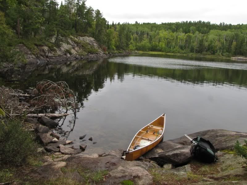
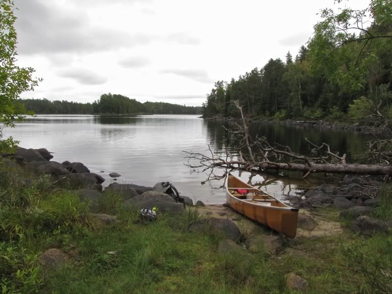
Now we had the place to ourselves. The rock at the landing was slick from the wet weather, so I slid the canoe down the last few feet to the water -
We loaded up and shoved off into Gardner Bay about noon. With the three portages behind us, we were ready for a longer stretch of paddling down the bay. There's a large island that bisects Gardner Bay into east and west channels. On our prior two trips through here, we had gone down the east channel. So we thought we would head down the wider west side this time. After a little disorientation at the outset (we thought the opening that leads to the Little Newt portage was the opening to the channel east of the big island, which engendered overall confusion in matching the map to the land), we quickly got our proper bearings and paddled down the long western channel -
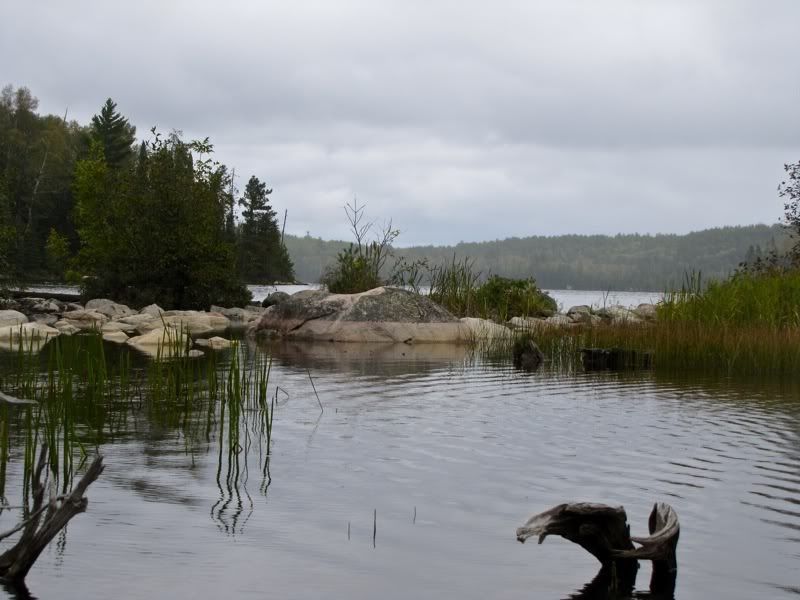
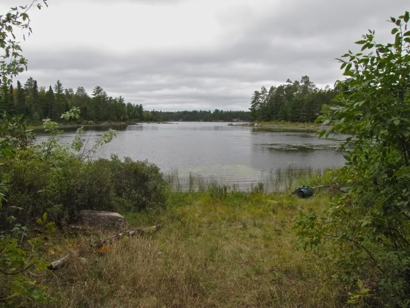
For once, the west wind got funneled from the north and helped push us down Gardner. This was our first (and last) real tailwind on this trip since the first hour or so of our first day on the Moose Chain. It was a welcome change of pace. We made good time to the south end of Gardner Bay, arriving at the sandy landing of the portage into the main body of Crooked Lake about 12:30 or 12:45. Looking back up the bay -
The other end of the easy portage and Crooked Lake -
We snacked on some bars and then shoved off on Crooked about 1:00. It wasn't far to the next portage leading to Bart Lake. As we approached it, we crossed paths with two couples who were loading up their canoes after having lunch. We exchanged greetings, and they told us in a pronounced southern drawl that they had "seen our friend" on Bart Lake a couple hours earlier. These were the only people besides Chris we saw for several days, from Argo Lake to well down Basswood.
We paddled the short remaining distance to the Bart portage, which has a grassy landing -
There were yellowing autumn ferns long the shore -
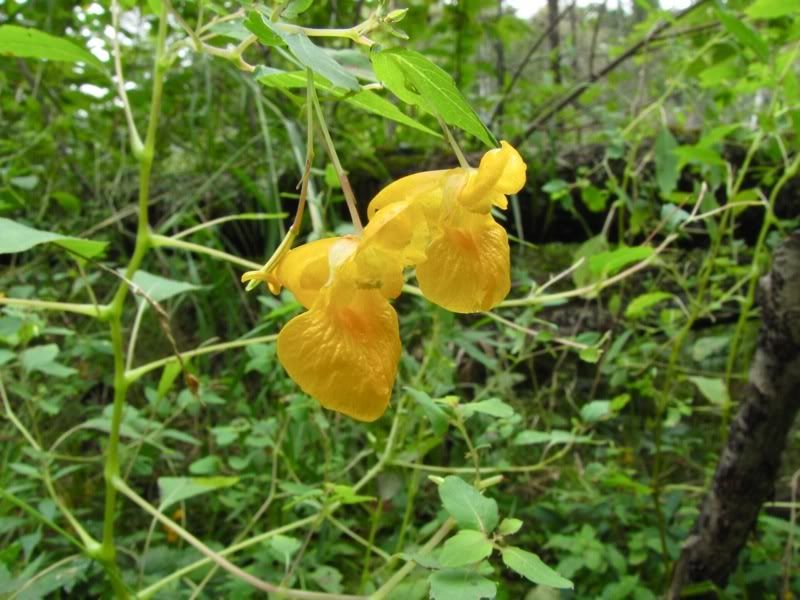
The portage itself was pleasant and easy, through marshy surroundings, though the trail was basically dry. A flower shot along the way -
There's an island in Bart Lake shown on the PCD as having a campsite that I wanted to check out, so we went there for a late lunch at about 1:45 -
The area around the fire ring was a flat slab of rock that was very nice. But we didn't see any good tent pads. So we scouted around further afield. This took us over to the south side of the little island, looking back toward the portage -
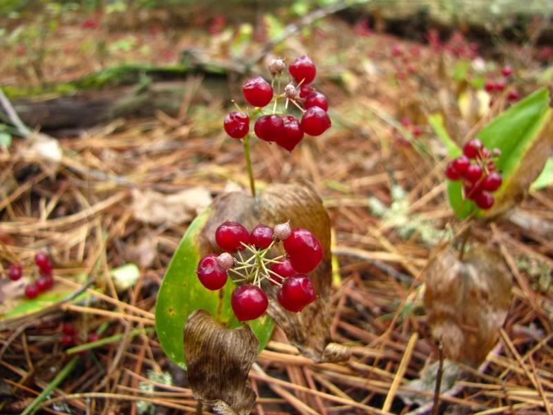
We also came upon a sizable area where these berries were sprouting up through the dead pine needles. Any idea what they are? -
We didn't find any great tent spots, but still thought this might be a nice place to stay sometime in the future. Now, however, we were headed to Robinson. We paddled over to where the portage to Craig is shown on the Fisher map, in a little cove with a creek flowing in. When we got there, though, we could not find the portage landing. The only likely spot was right were the creek bubbled into the lake. But when we got out to scout around, the "trail" quickly disappeared underwater in a very wet swamp.
I checked the official Quetico map, which has more accurate portage information, to see if we were in the right place. Yep, the portage starts in the little cove with a creek flowing in. So we spent a fair amount of time paddling along the shore of the cove looking for other possible places where the portage might begin, and then exploring the "trail" at the creek itself some more. Finally, David took a look at the official map, and immediately saw that it actually shows the portage starting at a different (put similarly shaped) little cove with a creek - one cove south of the one shown on Fisher. Doh!
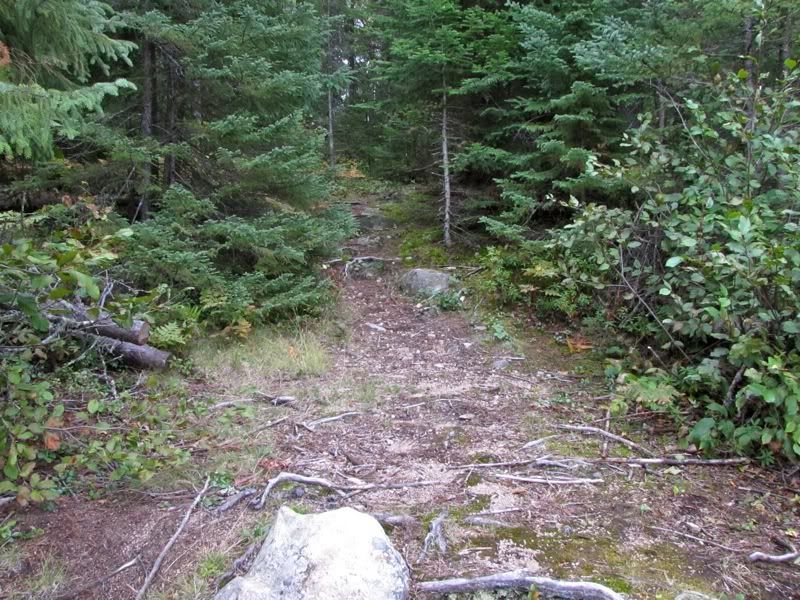
We paddled down there and found a wide, obvious path into the woods -
As we started down the portage, I was happy to see signs that the clearing crew had been through in the recent past. From the look of this cut, I almost expected to hear a chainsaw -

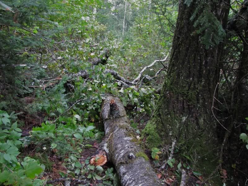
The portages during this part of our trip had definitely been cleared more recently than the first leg around Sarah. But then we came to this large aspen, newly fallen directly along the portage path -
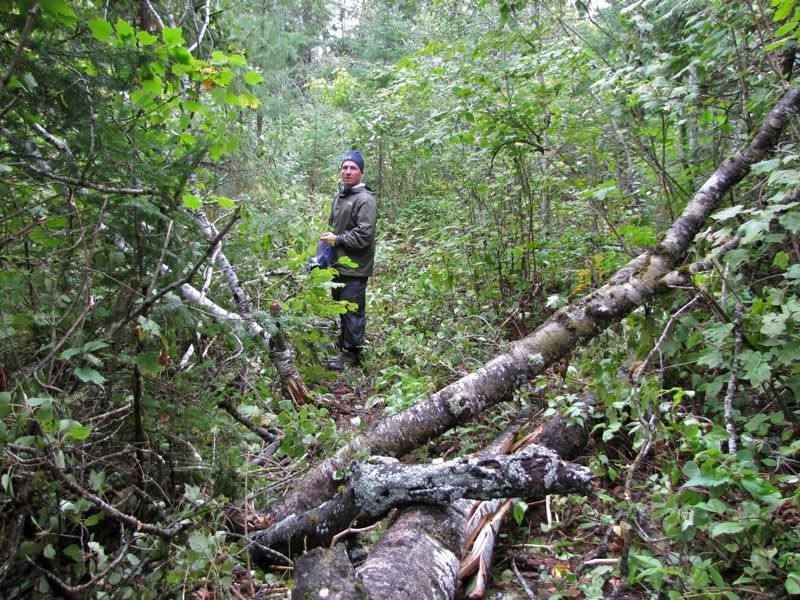
It was a little messy getting through the tangled limbs of the tree's crown. Chris told us later that the foursome with the southern accents had already done some clearing of branches when they came through. On our way back across for our second load, we did what we could to clear it further without tools handy -
Once past that obstacle, we were at Craig Lake -
Almost as soon as we launched on Craig, we could see the landing for the portage to Robinson at the opposite corner, where the waves washed an opening of pink sand. This is a close up of that sandy portage landing -
Looking from there into the woods -
Unfortunately, that sandy bottom did not last. This portage quickly turned into one long, boot-sucking mud hole -
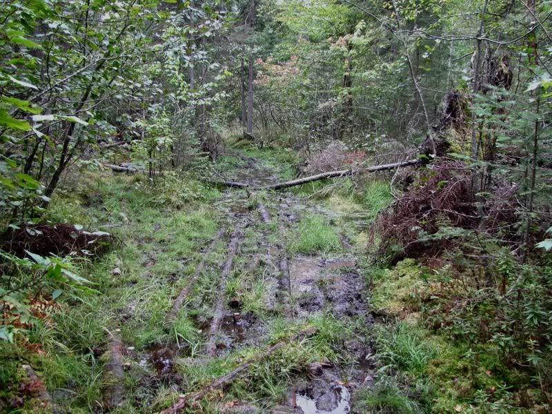
If the portage crew had been through so recently, David wondered, why didn't they put down more corduroy? Good question, I thought, as I balanced on the few floating logs that were there -
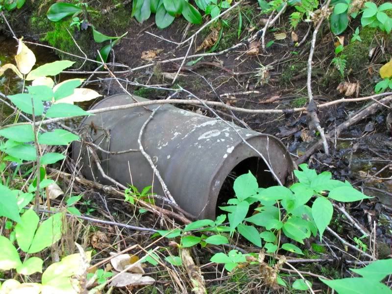
Still, we made it through fine with mucky boots. Near the Robinson Lake end, we came upon this "artifact" -
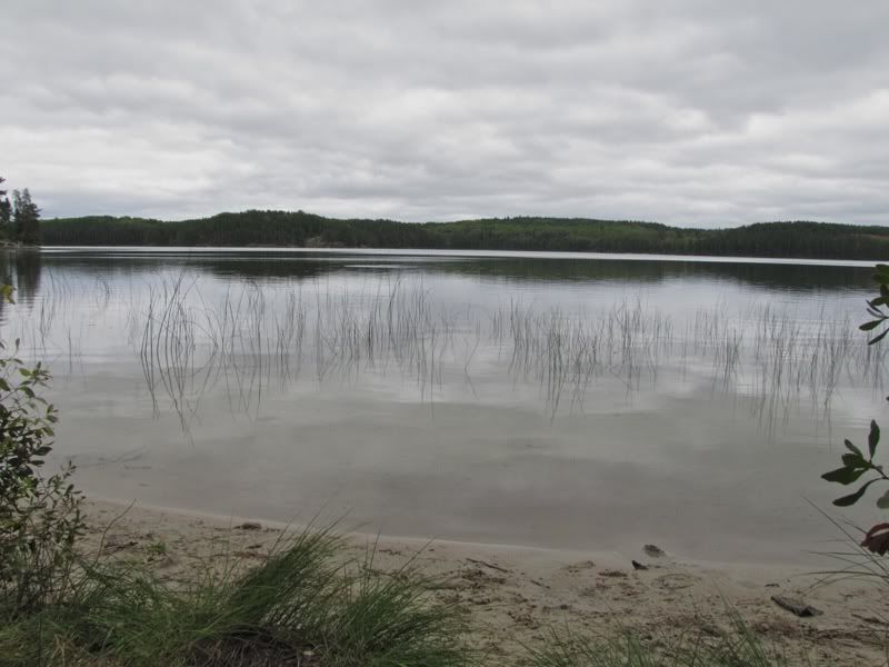
The muck ended abruptly at the landing on Robinson, which, like others in this area, was pleasantly sandy -
Earlier in the day Chris had pointed out two possible campsites on the map where he hoped to stay on Robinson. The closer one was on a big point a kilometer or so north of the portage. His white canoe soon came into view as we paddled toward the point.
Here's what we found when we got there -

It seems that Chris had taken a tumble into the mud along the last portage, and arrived at the campsite cold and wet and somewhat dispirited after the rough weather of the past few days. He felt like he'd had his fill and if we hadn't shown up at the campsite by 5:30 he thought he might move on to Crooked Lake and a quicker exit tomorrow. Fortunately we got there about 4:30, and Chris perked up with the excellent company.
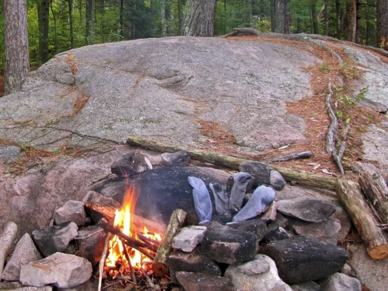
Before setting up camp, David and I went for a quick dip on another great sandy beach to wash off the grime of the last few days. The water was really getting cold! Then, as we were setting up our tent, Chris suggested a fire, so I went off scouting for wood. There was a pileated woodpecker loudly calling around our site the whole time we were there, and I got a good look at him while I stockpiled enough wood for the evening.
The fire was a great idea. It warmed us and our spirits, and dried our sock too -
Over dinner and Maker's Mark we talked about our plans for the next day. Months ago, when we were emailing about this trip, Chris had said he might exit from Basswood via Wind Lake back to Moose. After looking at the map, we had decided on that route too. To get there, David and I wanted to explore new territory by going via Kett Lake, then camping somewhere near the border and Ottawa Island on Basswood tomorrow night, before exiting the day after that.
Chris could stay out one more night, too, and he had also thought earlier about going via Kett and camping on Basswood. But there were family obligations beckoning him home, and with so-so weather, he was inclined to paddle all the way out tomorrow. To do that, he needed to go the shortest route. We discussed the possibilities, and he decided to go down the Tuck River to Moose Bay on Crooked, then up the Basswood River, and from there follow Basswood Lake to Wind Bay, Wind Lake, and the exit at Moose. The Kett route might be shorter in miles, but we were unsure of the condition of the long portages going that way, so the Basswood River seemed a safer bet for making tracks. Chris would stop for the night just this side of the border on Basswood only if the weather and campsite were both great. But no one was counting on that. There had been a gap in the clouds at sunset. But we weren't going to fall for that trick anymore.
We stayed up by the fire enjoying the good company until well after dark, maybe 10:00 or so. Then it was time to hit the sack, since Chris wanted to get an early start. We doused the last embers and crawled into our sleeping bags. In the middle of the night, once again, I could see stars shining high in the sky through the tent door.
 Donate - BWCA.com