click to close window and return to maps
click to close window and return to maps
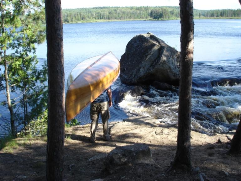
Picture Location
| Map: | View Point on Map |
| Picture Posted by: | Eglath |
| Photo Name: | Lower Basswood Falls |
| Lake: | Basswood River |
| Date of Photo: | 07/06/2008 | Direction of Photo: | South |
| Approx. Latitude: | 48.1143 |
| Approx. Longitude: | -91.7183 |
|
|
| Note: | Top of the eastern-most chute at Lower Basswood Falls |
Other members comments: |
|
| Comment Posted by: | steve830 on 07/16/2014 |
| Comment: | This map point is in the wrong location, the portage is north of the island separating the falls. This photo depicts the rock on the eastern side of the portage. |
click to close window and return to maps