click to close window and return to maps
click to close window and return to maps
Picture Location
| Map: | View Point on Map |
| Picture Posted by: | bradecki |
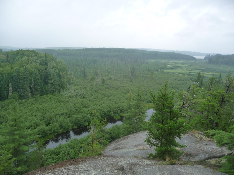
| Photo Name: | Moose River |
| Lake: | Moose River |
| Date of Photo: | 09/01/2009 | Direction of Photo: | North |
| Approx. Latitude: | 48.1469 |
| Approx. Longitude: | -92.0831 |
|
|
| Note: | Looking north toward Nina Moose Lake from the top of the cliff on the east side of Moose River during a wet last day. |
Other members comments: |
|
| None Available |
click to close window and return to maps