click to close window and return to maps
click to close window and return to maps
Point of Interest Information
| Map: | View Point on Map |
| Posted by: | campNgirl |
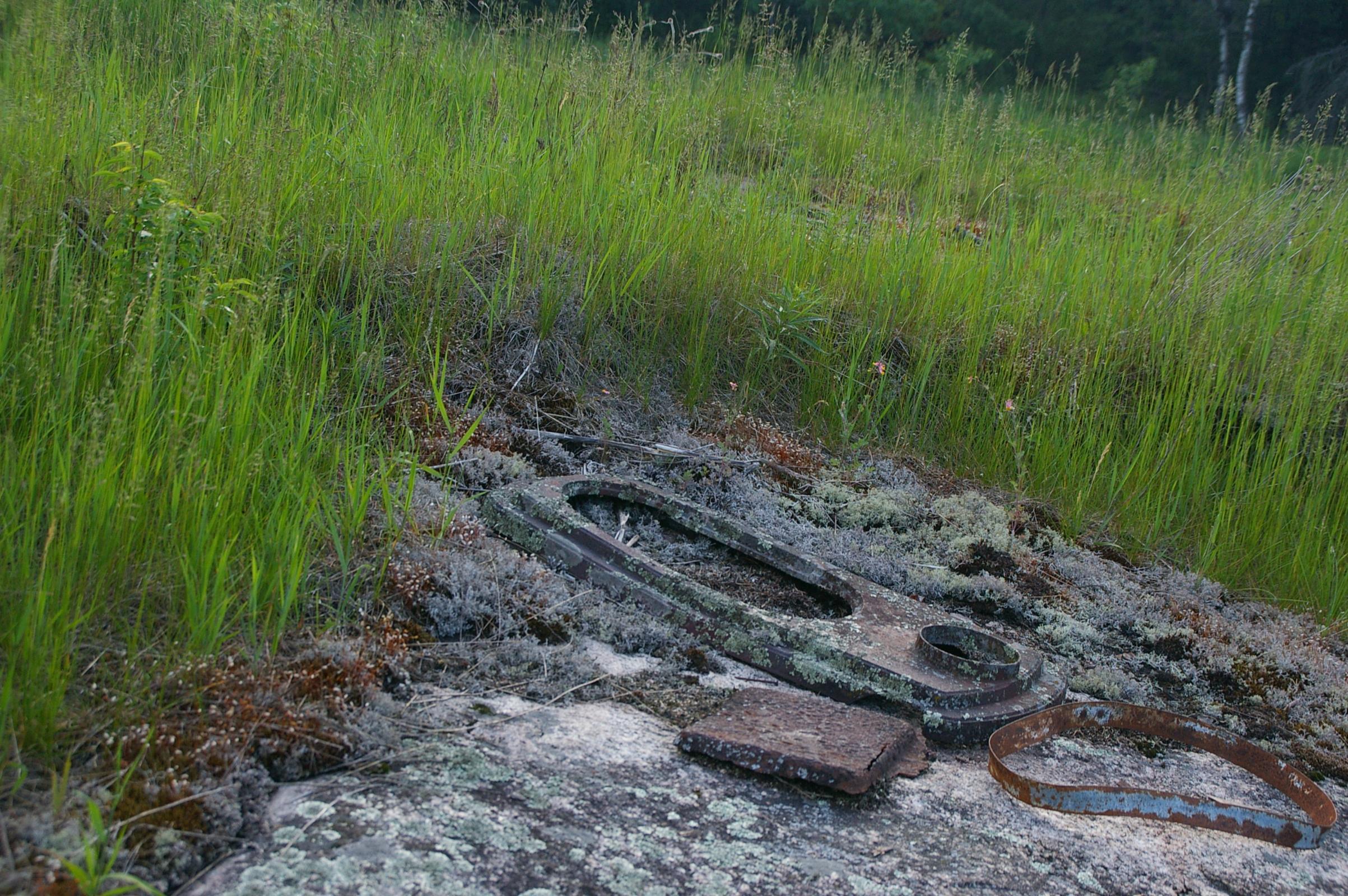
| Point of Interest Name: | Logging Camp |
| Category: | Historic Remnants |
| Lake: | Horse Lake |
| Entry Point: | 23 - Mudro Lake |
| Date of Visit: | 06/08/2012 |
| Approx. Latitude: | 48.0989 |
| Approx. Longitude: | -91.7635 |
|
|
| Place Notes: | Remains of an old logging camp. On shore you can see the old stove, outline of buildings and other misc logging stuff......on small island just away from shore you can see the remains of an old pully system going through an old tree. |
| Other members comments: | |
| None Available |
click to close window and return to maps