The Pow Wow Trail 2008
by Soledad
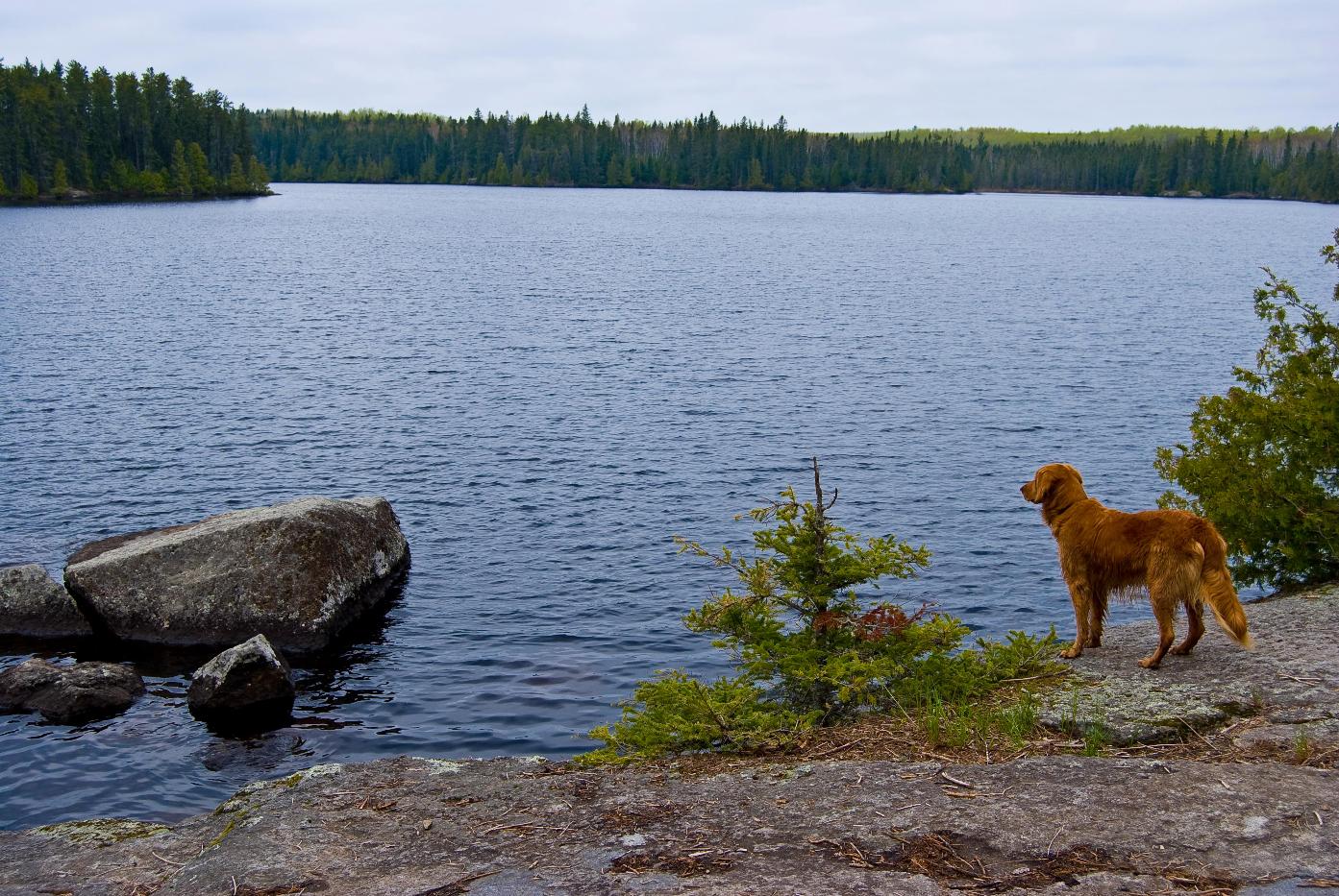
We got up at about 7:30, had a good breakfast packed up and headed for Pose Lake. The next part of the trail was probably the toughest portion of the trail. It hadn't looked like a crew had been up there to clear it for awhile. It reached (72f) which is a little warmer than I like when backpacking, but it wasn't bad. Although both of us had packed out cameras away, Todd and I both agreed that the best part of the trail was along North and South Wilder Lakes. That section offered the best views and although rugged, it really was the most enjoyable hiking. The site on North Wilder Lake was pretty interesting. Although we only took a short break there, I really did like the site. The fire grate was situated in front of a perfect rock which would provide a great backrest while looking over the lake. I would try to stay there if I hiked the trail again.
We met yet another couple who had started out from South Wilder Lake earlier in the morning. As we exchanged trail notes, they mentioned that they would have stayed at Pose Lake the previous night, but it was occupied. We wondered if it was that same group of people who we passed the first day.
While getting water, from a small creek, Todd and I tried to figure out what we should do if indeed the site was still taken. I am pretty sure that once we passed the South Wilder site the Pose lake site was the last one. Todd also mentioned that he needed to get back home early and that we would have to get to our cars, by 10:00 the next morning. We pretty much decided that we would hike out either way.
About a mile or so before Pose Lake, the trail changed and hiking was much easier. Pose Lake was in fact taken by that group we saw on the way in. We said our hellos, filtered water and then chatted away about the previous two days. They were good folks and were interested in what we had to say about the trail. The Pose Lake site was very nice, probably the best backpacking site on the trail (canoe sites were often better). We had hiked over 7 miles on a tough trail and had six miles to go. Luckily, the last six miles are like hiking on a golf course. A couple beaver dams to cross but nothing really exciting. I wouldn’t have made it out if the trail was like the first half of the day. I was exhausted, and mostly everything below my knees ached. This is becoming a trend in my trip reports I think.
We hiked those last six miles in two hours. The previous 7.5 miles took us around 6 hours give or take without a lunch break. That is a good indication of how much the trail changes.


Summary and random thoughts:
Last year while hiking around Snowbank Lake, we found hundreds of wood ticks each day, this trip we found a total of three- one on each of us. Hiking the Pow Wow Trail in 2.5 days is something I likely will not do again. The pain to accomplishment ratio simply doesn't work out. I really wanted to be able to compare the two routes, but I seem to have a tough time putting the trails into words. The Snowbank Trail starts out rugged, with rocks and pretty good terrain changes. I think I would say that the Snowbank trail is a little more difficult because of the ups and downs, but the vistas are better, I would also say that the campsites are better. I did enjoy hiking from lake to lake on the Pow Wow Trail. The lakes are small, intimate, and beautiful. I would bet that both trails are much easier to follow in the spring before all of the undergrowth gets a chance to take over.
Maps: Todd and I both brought McKenzie Maps, my revision was 2003 and his map last updated in 2007. The 2007 map did not show at least 3 backpacking sites that the 2003 map listed. This is a big deal when you are get around to the west and north side of the trail. We didn't see much difference in the trail itself on the two maps. I also took a look at one of the new Voyager maps for the area. Voyager fails to show any backpacking sites on the Pow Wow Trail. When I get my hands on a Fischer map, I will compare it as well.
Memorial weekend is not a good time to hike the trail if you are hoping to find solitude.
During the trip Todd asked why I like to backpack in the BWCA. I am still not sure if I can answer that. The sense of accomplishment is a big part and the hard work is very rewarding at the end of the day. It is also a unique way to see the lakes, walking around them instead of canoeing through them.
We didn’t see any wildlife except for two rabbits until we were driving back to Isabella and saw a two moose on the road. Cow and her rather large calf.
The Sioux Hustler trail is next on my list.
 Donate - BWCA.com