Kawishiwi Triangle
by Ho Ho
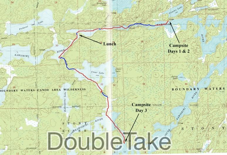
There were no slugs in my shoes when I got out of the tent this morning. And the day was looking a little brighter: 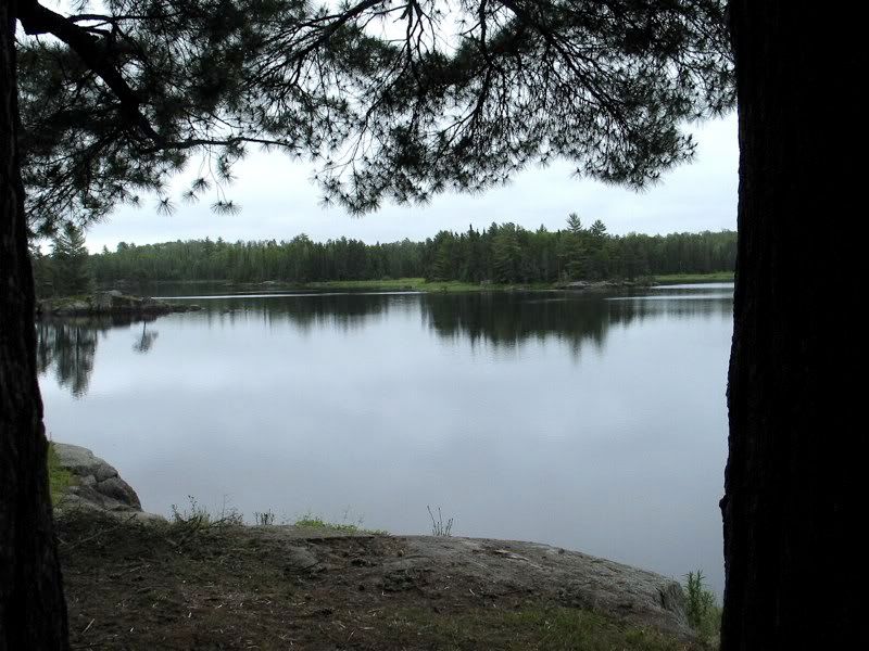
I got that first pot of java going: 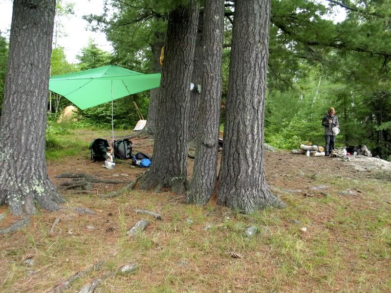
There were still bugs at this campsite, so we used the "portage burka" (bandana hanging from cap) to keep them off the backs of our heads and neck. David modeling the portage burka while eating pancakes: 
After breakfast we broke camp and set off down the North Kawish toward Clear Lake. A short paddle from our campsite brought us to the 210-rod portage that goes around several rapids and falls on the river. We carried our first load of gear across, then took pictures on our way back. Here are some pictures along the portage going from west to east (the way we walked back between loads).
Looking upstream at the last rapids by the end of the portage: 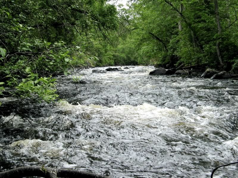
A pool near the trail where another set of rapids empties: 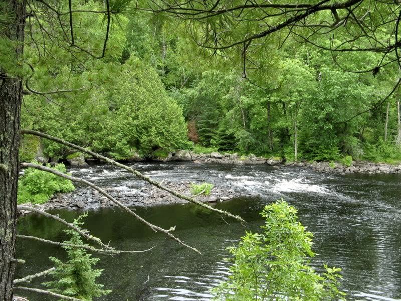
Cool tree fungus (with some slugs lurking in its folds): 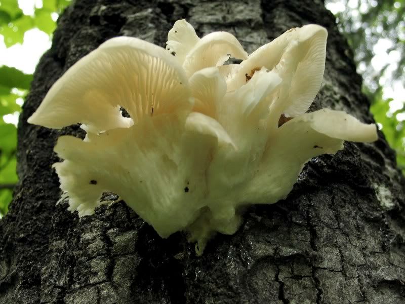
Boardwalk through low wet area: 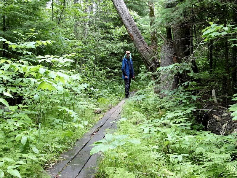
We paused back at the beginning of the portage to eat some bars, and while we were there, an older couple who were on portage patrol paddled up. They said there were reports of downed trees on the portage, but the only downed trees we'd seen were pretty small and close to the ground and no problem to step over. So they decided not to investigate further, but told us we might see another portage duo at the far end.
Sure enough, after we carried our second load across, the other portage patrol - this time a younger man and woman - was at the far end of the portage. We talked to them for a while and asked about campsites on Clear. They said they were camped there, and the lake seemed full, but they had a big site and if we wanted we could set up there too. That was mighty nice of them! But we figured if it was that busy on Clear we would paddle through the South Kawishiwi.
We got ready to shove off. Looking out from the end of the portage: 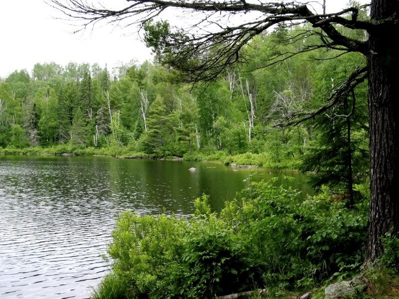
Cliffs along the stretch of the river downstream: 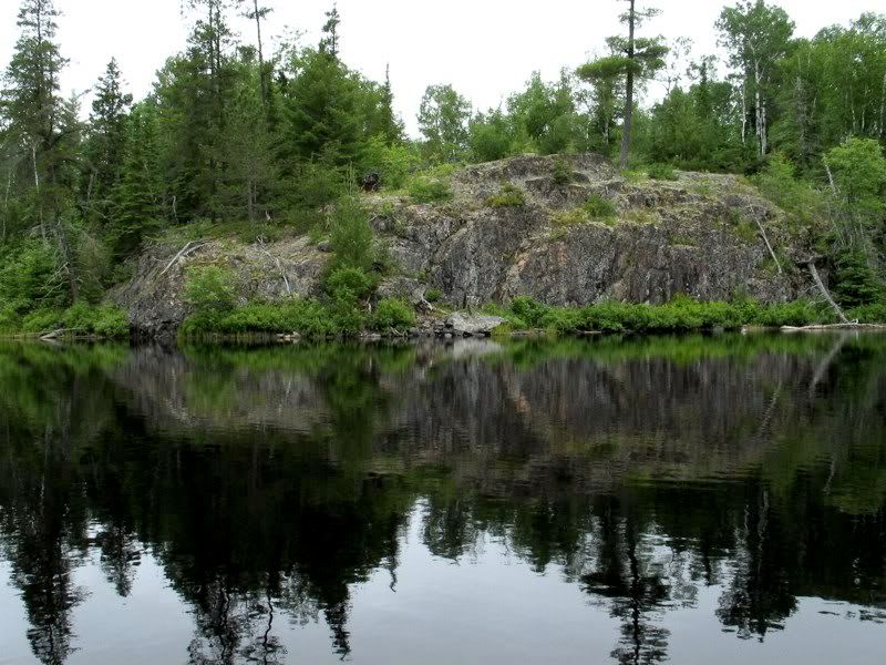
We portaged around another set of rapids: 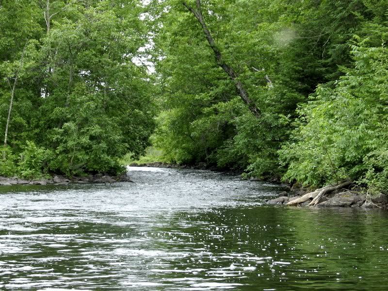
Then a little further we portaged around the last set of rapids before the cut-off to Clear Lake. 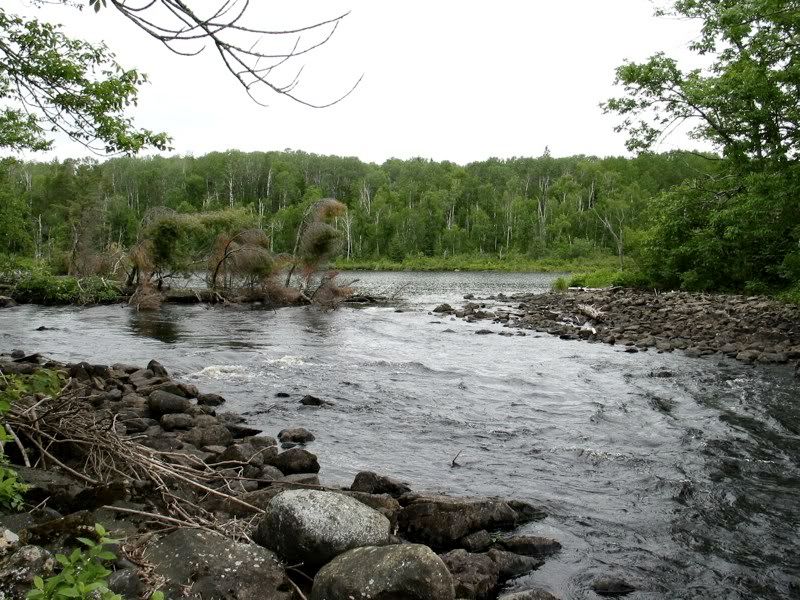
This is where we started to see a fair number of other people. There is a campsite below these rapids - the first site downstream from the 210-rod portage, and accessible coming in the other direction from the Farm Lake entry. Judging from the people we saw and talked to, it became clear that most people want to avoid the 210-rod portage that breaks up the North Kawishiwi, which is why we had not seen many people the last couple days. People coming in from Farm Lake don't venture much past where we now were. If they want to go to the Numbered Lakes, the South Kawish is an easier route. Although from our perspective, the 210-rod portage was not really hard at all. Oh well, whatever keeps the crowds away is fine with me.
We wanted to have lunch here, but (of course) the campsite was occupied. In fact, a canoe was waiting off shore to claim the site while the current occupants broke camp (we would meet them at the portage to Clear Lake). So we tied off our canoe by the rocks at the downstream end of the rapids and had lunch there. It was a really nice spot. As we were packing up, I noticed something: 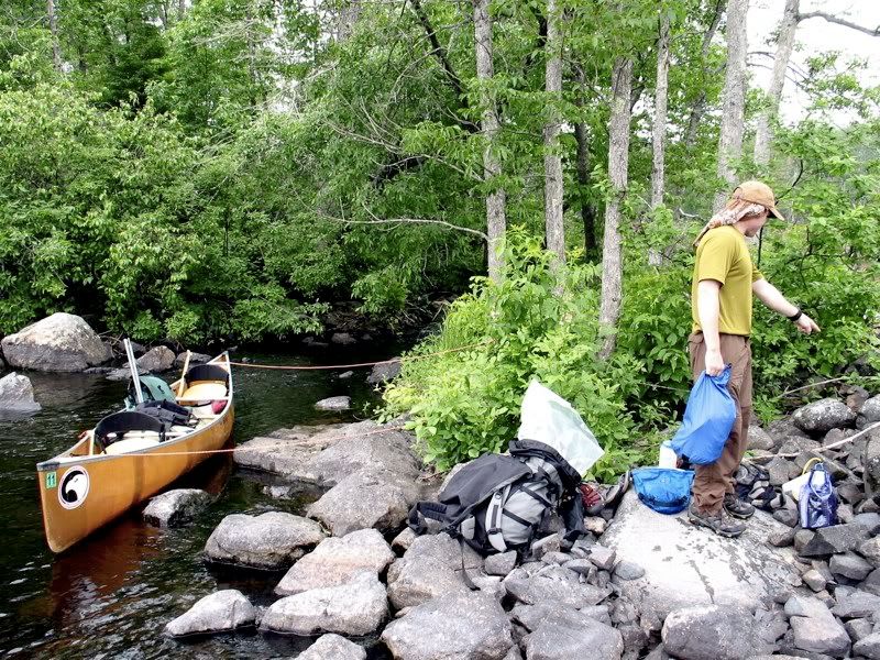
This guy: 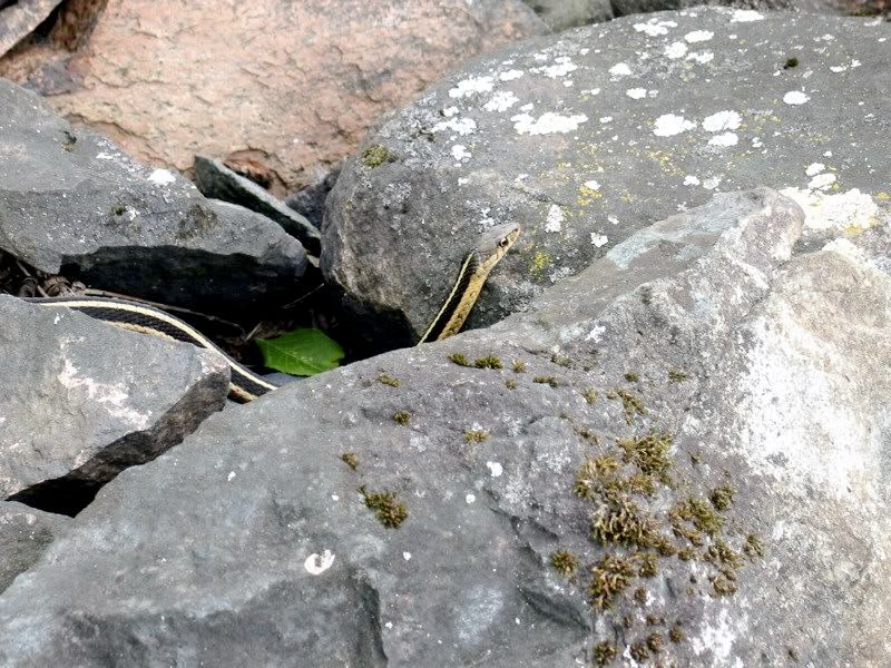
It was interesting to watch him slither through the rocks. He would be on top and just disappear into some crevice, but then you might see a little strip of him from above. Reemerging: 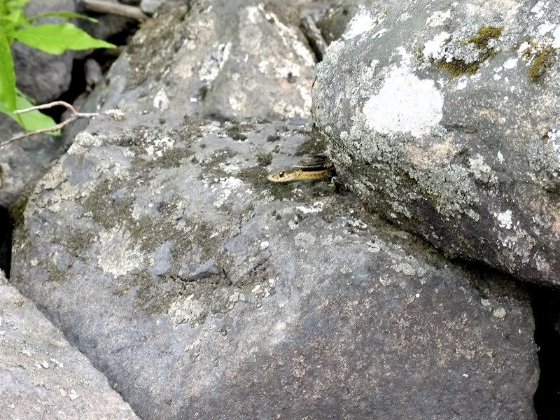
Finishing lunch and leaving our sinuous friend, we continued downstream. These rocks are in a wide area shortly before the portage to Clear Lake: 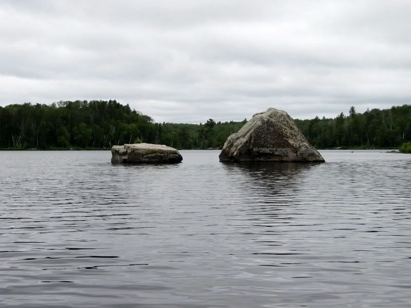
There were a couple other groups coming and going at this portage and we chatted some, then portaged through. Although it's something like 180 rods, this portage is a very easy thoroughfare: 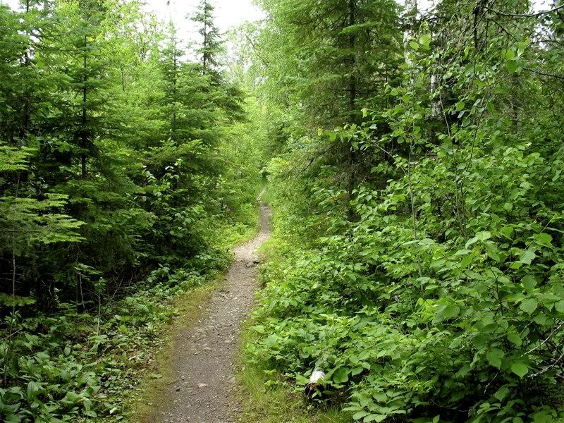
Another gnarly tree fungus along the portage: 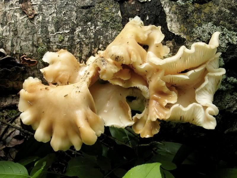
Wild rose: 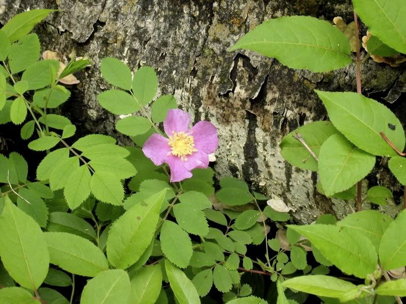
Based on the report we'd gotten from the portage crew, we had already decided not to look for a site on Clear Lake and paddled instead directly toward the portage to the South Kawishiwi. There's a big bog right after the portage on the edge of Clear (which, like the Kawishiwi, is heavily bog-stained and not all that clear): 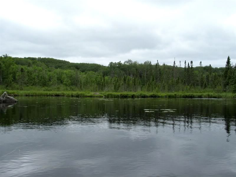
A low-lying island as we paddled down the lake: 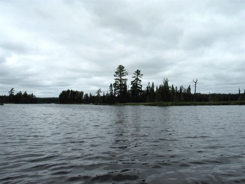
Our Voyageur map showed the portage beginning from the outlet at the south end of the lake, but it seemed to just keep going into marsh with no portage in sight: 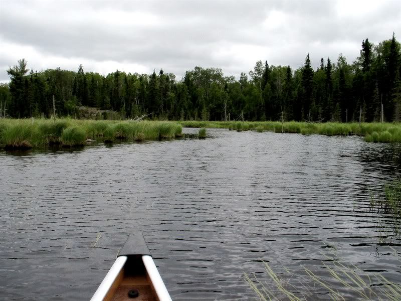
We backtracked and checked the little baylet further east. Yep, the well-worn portage landing was there. The Voyageur map had also been wrong about where the portage from the North Kawish into Clear Lake begins. It wasn't a big deal either time, but I was still a little disappointed because when I used their map number 3 before, I thought it was very accurate.
Looking back at Clear from the portage: 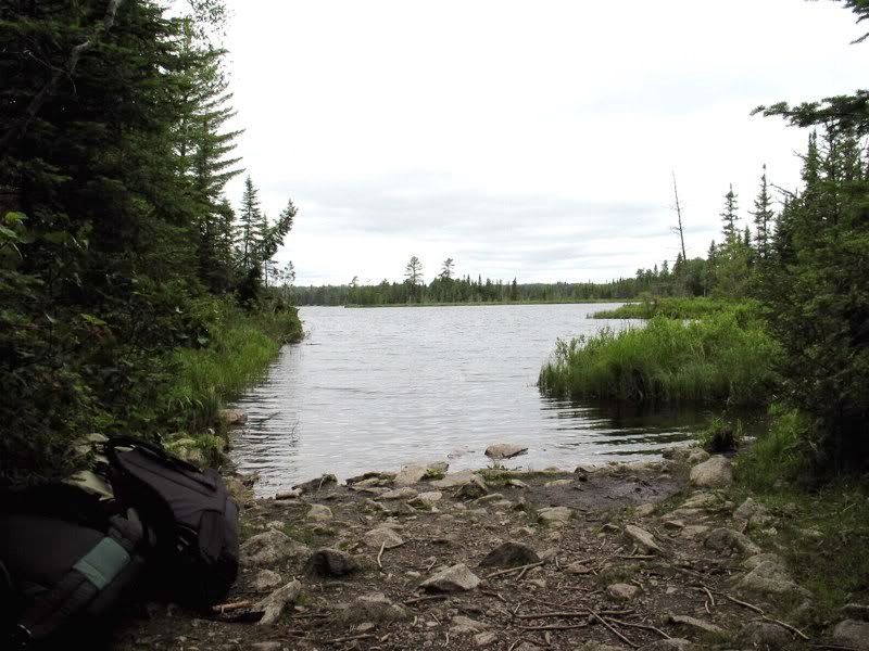
At about 70 rods, this portage is not long, but it was the most rugged portage on our short trip. This rock garden reminded me of many Quetico portages: 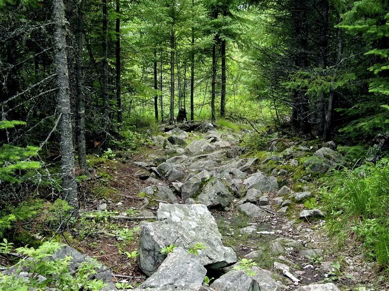
Further on the old portage path is flooded by high water and you have to go up and over a newer rough-hewn path. There's an enormous old beaver dam at the far end, and it looks like the resident engineer recently raised it a bit. Possibly you could avoid much of this portage by utilizing the higher water to start carrying from the outlet (where we were exploring before) closer to the South Kawishiwi. Looking out at the beaver marsh: 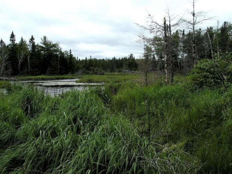
The landing on the South Kawish was mucky, buggy, and stinky. Before we loaded up, we noticed that a leech had hitched a ride across the portage with us: 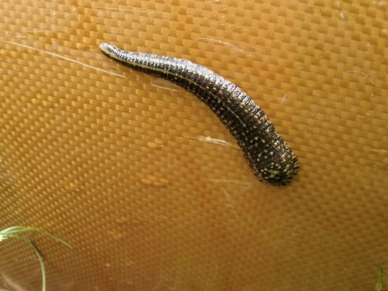
We removed him from the canoe (which was not easy), loaded up, and set out. We were now ready to find a campsite - one exposed to the north breeze to keep the bugs down as much as possible. The first site we passed was too sheltered from the north, and the second one was occupied. As one who usually paddles in Quetico and has generally only tripped in the Boundary Waters in May or September, I'm not used to worrying about finding a campsite. But now I started thinking about all the BW stories I've seen posted where every campsite is full. With that in mind, we steered toward an area where there were several sites. On the way we entered some narrows marked by these cliffs: 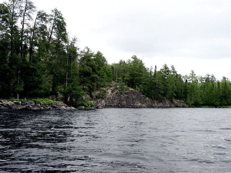
At the end of the narrows was an open campsite next to a small rapids around an island. After a quick inspection we decided to call this spot home for the night. It was a great site. Looking out at the island and little rapids: 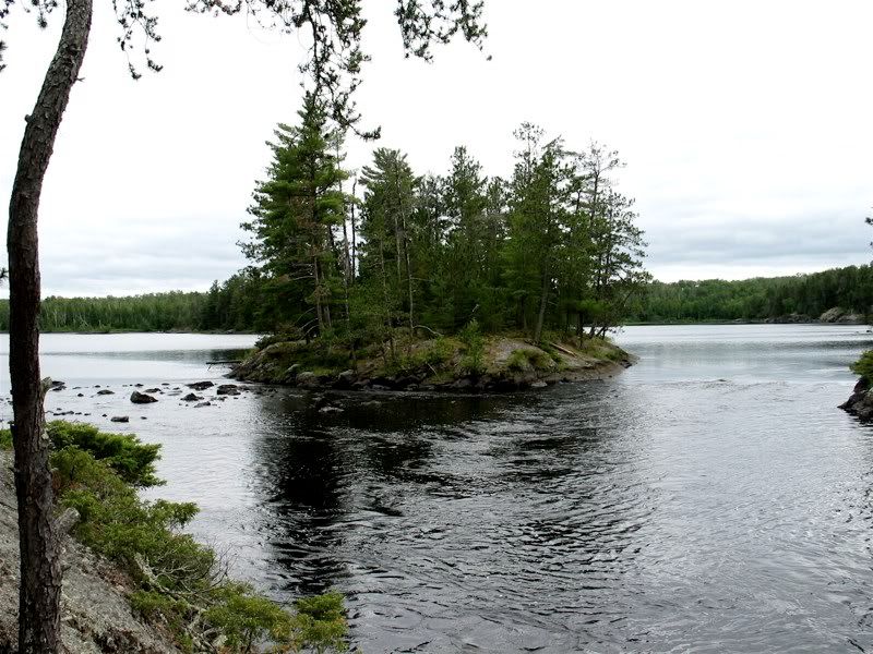
After a swim to clean off the bug juice and portage grime, we set up our tent under a towering old Red Pine. Looking up into its branches from the tent the next morning at dawn was pretty awesome: 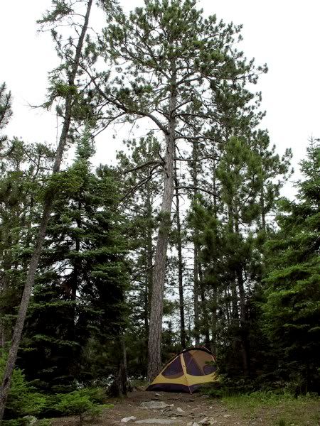
The area around the heavily-used fire ring had a strange structure built up around it: 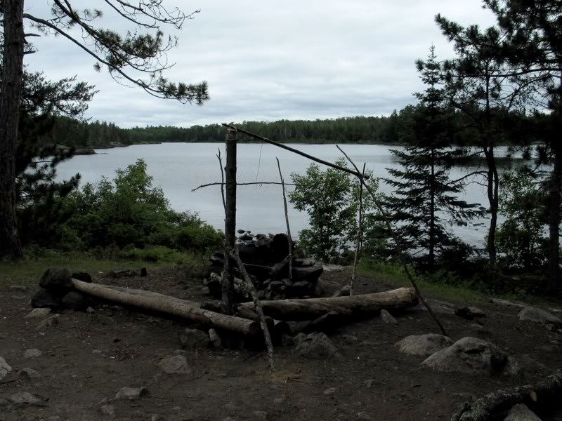
We hung some of our wet gear there, but otherwise ignored the fire ring and put our kitchen on a wonderful ledge that was overlooking the river and exposed to the north breeze: 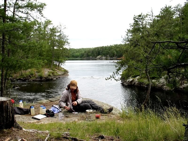
Several groups passed by and it was fun to watch them negotiate the little rapids. Later on we enjoyed the view with some post-dinner Maker's Mark: 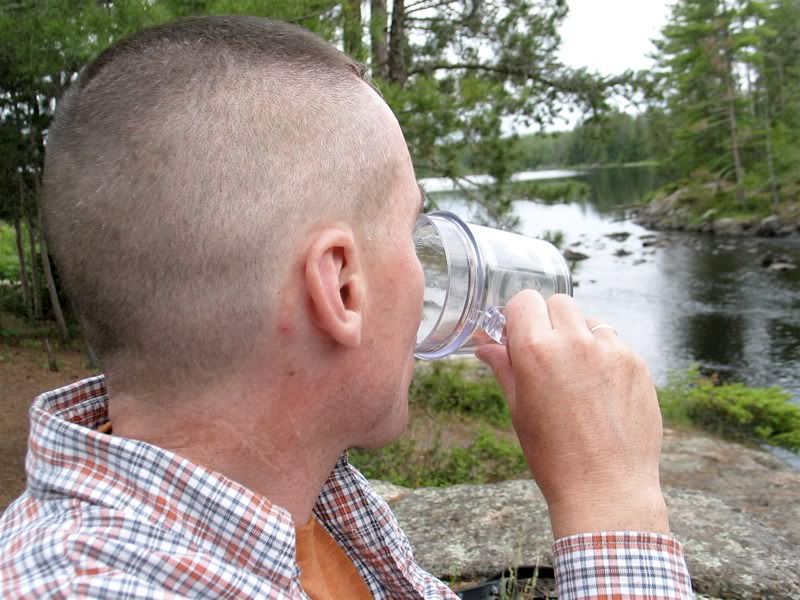
There was a very cheeky chipmunk who didn't mind getting within a couple feet of us in his search for crumbs (or more): 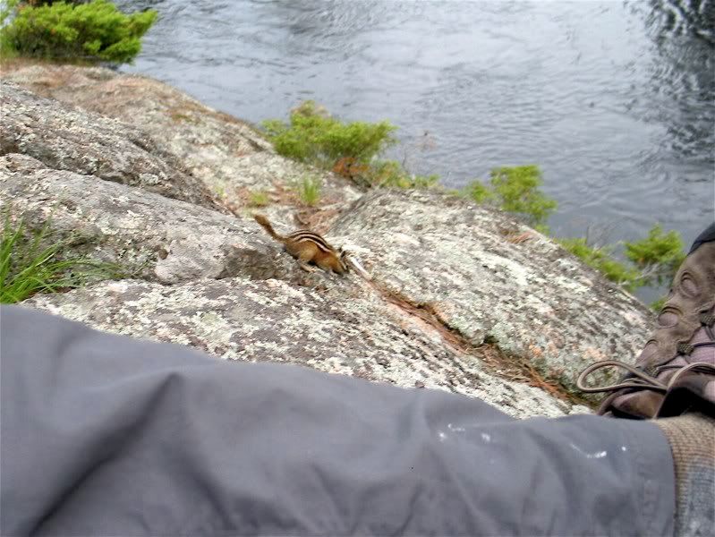
"These people are too neat! I want an M&M!" 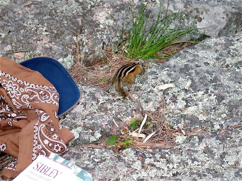
Although the weather was much nicer today, it had still stayed overcast almost the entire day. But just as dusk fell the clouds started breaking up to the west, letting a few rays of the setting sun through: 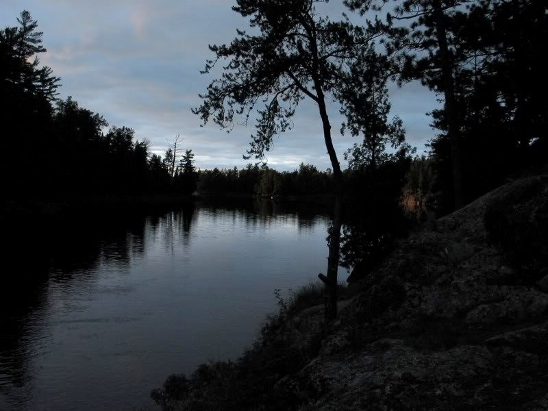
A few minutes later, golden light filled the air and lit up the trees all around: 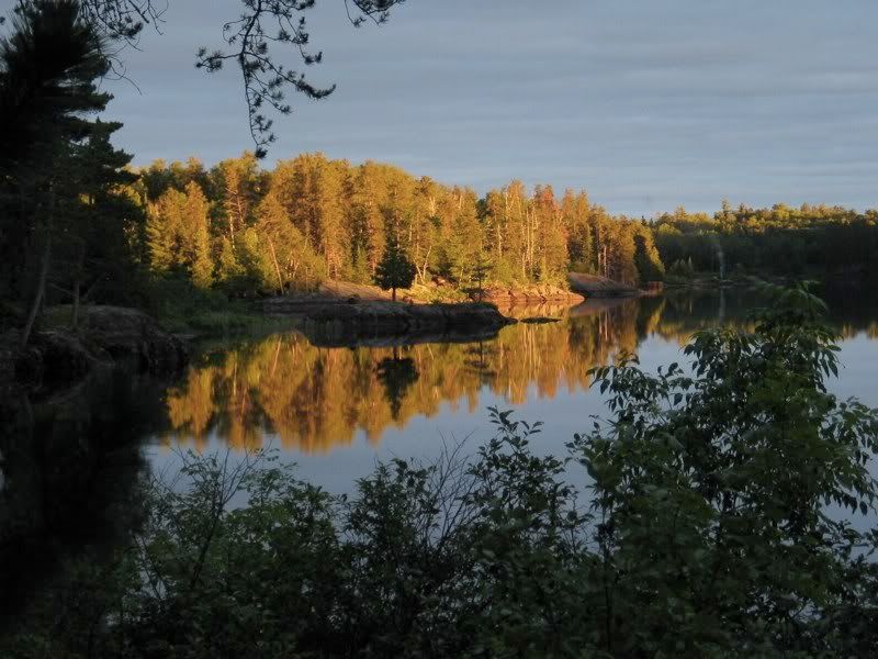
The mix of overcast with a gap in the west was perfect. Looking westward at the light hitting the tops of the trees: 
A final view: 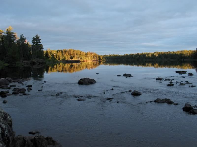
As the sunset faded, the bugs came out in force and we retreated to the tent. When I woke up in the middle of the night, the clouds had completely cleared, and the sky was filled with a million stars.
 Donate - BWCA.com