2010 Moose Lake to EP 14
by billconner
Trip Type:
Paddling Canoe
Entry Date:
06/28/2010
Entry Point:
Moose Lake to Prairie Portage (EP G)
Exit Point:
Little Indian Sioux River (north) (EP 14)
Number of Days:
10
Group Size:
2
Discuss Trip:
View Discussion Thread (4 messages)
Day 9 of 10
Tuesday, July 06, 2010 Up, ate the hash browns as someone here presented, and off to the south. I was concerned about the motor traffic but probably because it was a Tuesday, there was none from Snow Bay to Devils Cascade other than a beached USFS boat. Beatty Portage was our first encounter with a marine railway. 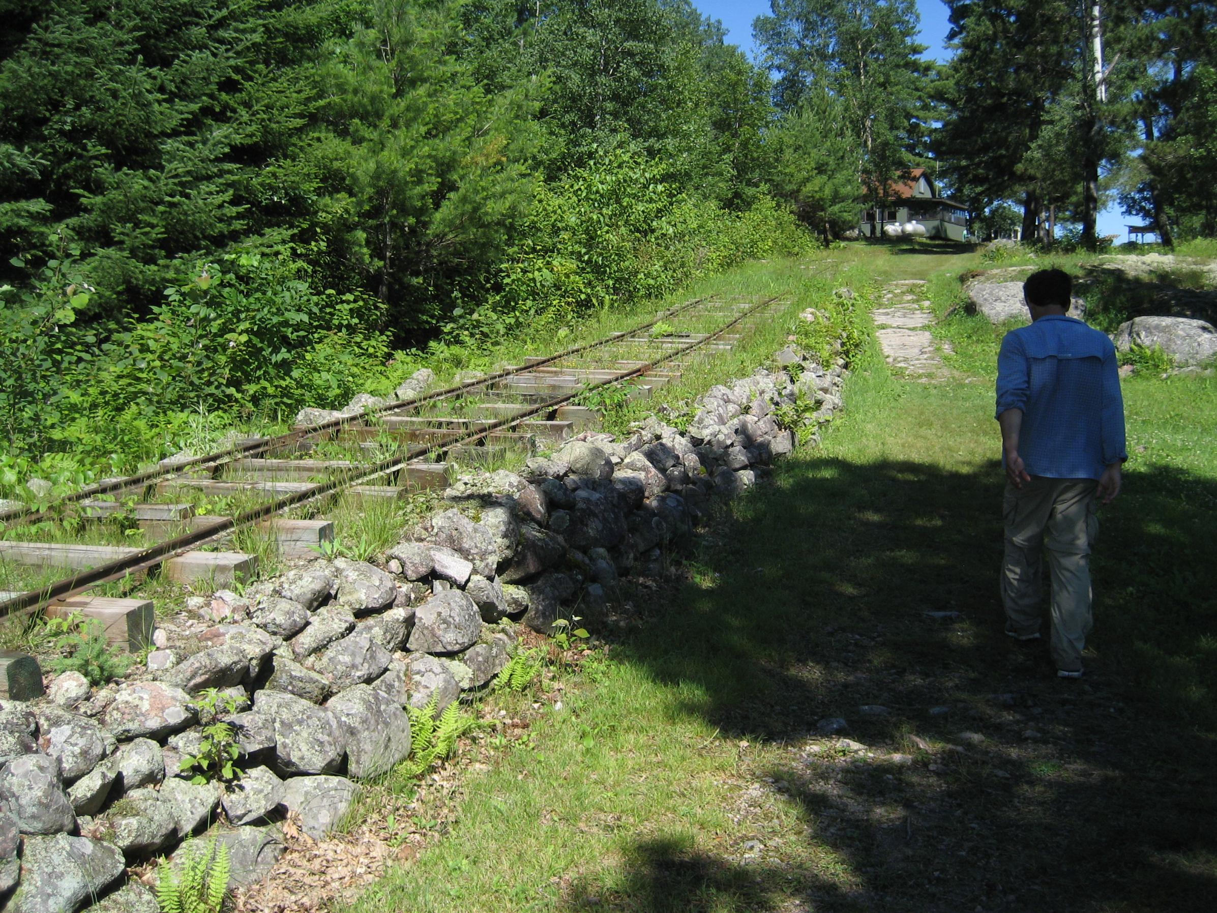
 I’d like that job.
LIS south of Loon was pretty high and swift. Water lilies were all held 8-12" under the water. We had to paddle hard to get up one small rise about a mile before Devils Cascade. Devil’s Gulch portage was flooded and about half way up the portage where it was close to channel was thigh deep.
This sort of wash out was common between Paunesses and the rapids south on way to EP14. Where our canoe is at the present end of the portage is, I suspect, 100 feet or more from usual end of this portage - south end of Devil’s Cascade.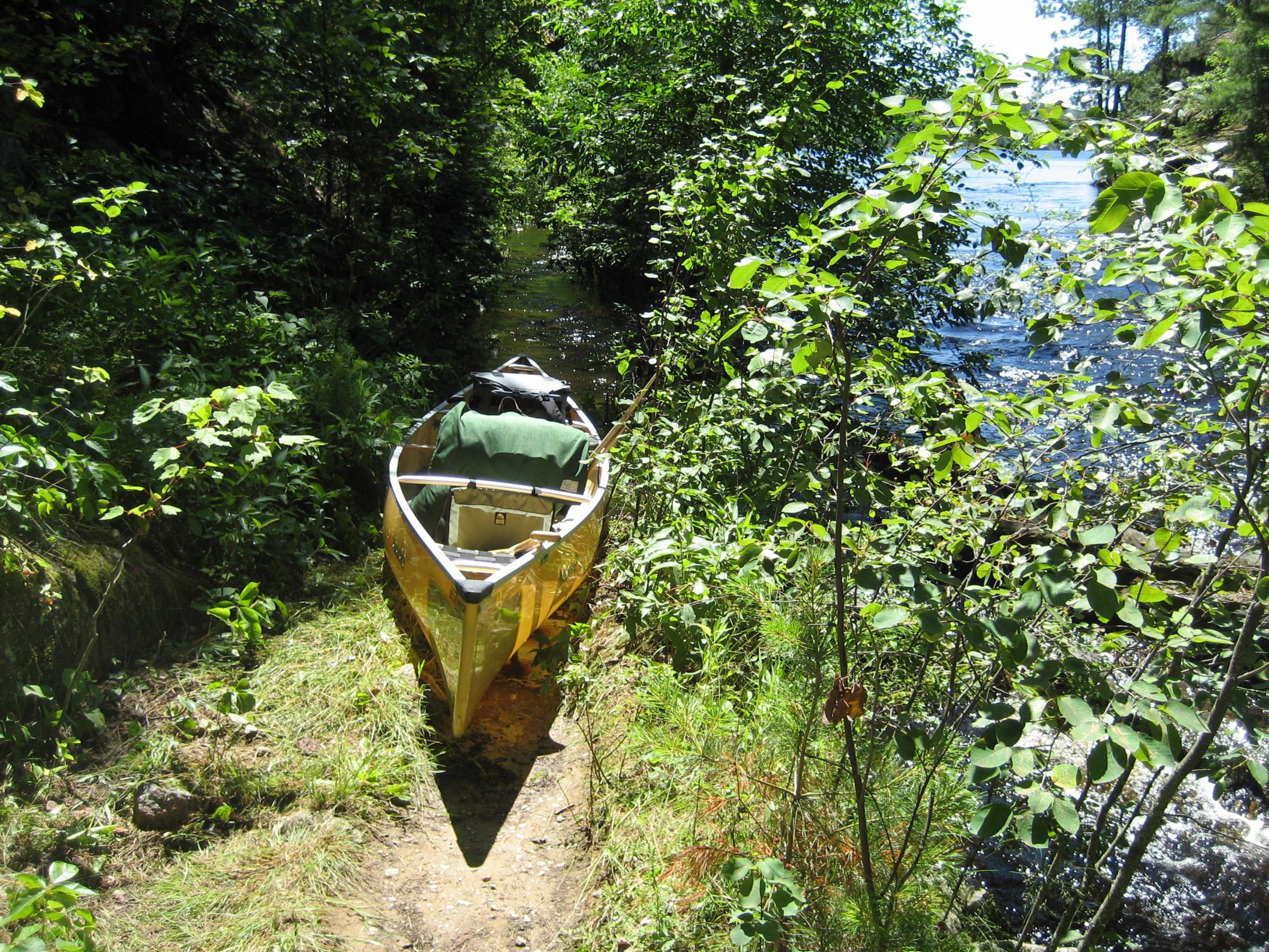
Made Upper Pauness. Middle campsite was taken so took second from south end and it was adequate - plus a lot of blueberries and red raspberries. Loon Lake, Lower Pauness Lake, Upper Pauness Lake
 Donate - BWCA.com