The Wabakimi Project - The Ultimate Portage Clearing Trip!
by OneMatch
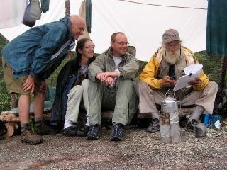
The way Phil organizes the portage clearing side of things is, once again, a picture of efficiency.
Phil begins each morning pouring over maps to determine the days operations:
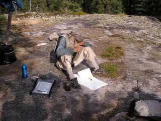
After his morning coffee and contemplation, he shows us what we’re in for:
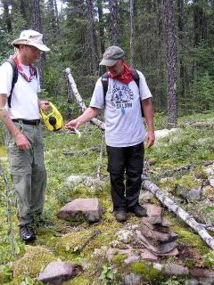
The task is first to find (using the old maps - in one case, Phil was using a map from the 1750s) the old trails by diligently looking for old blazes made on the jackpine by the trappers and such. These blazes could be as old as 300 years. Here is an example of one:
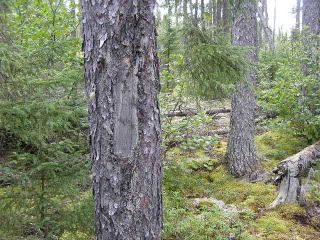
They were usually made with 2 down strokes of a hatchet and then one or 2 upstrokes. Sometimes they were easy to find, other times it was very difficult. Some trees with blazes were blown down and created a challenge for us as well.
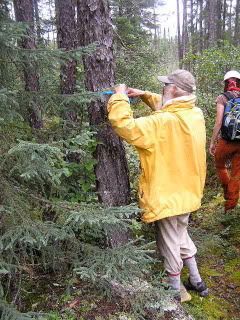
Once the blazes were found, a temporary "flag" of plastic tape around that tree and then the crew looked for the next blaze:
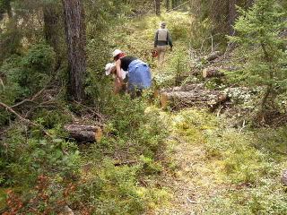
Once the entire trail was flagged (usually an all day operation), then it was time to clear it.
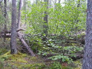
Here is another section of blowdown before the clearing:
and then after:
This is done section by section and we gradually work our way to the other end. Each entry and take- out point as well as each blaze is way pointed on the GPS. We then take a metric tape measure and walk back adding up the meters as we go:
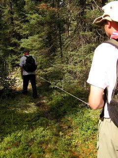
It turns out this trail was 645 meters long. It took us all day to get it cleared and measured. We were one tired crew at the end of the day and were ready for a nice meal, libations and some rest.
 Donate - BWCA.com