Blue heaven on the Granite river
by TuscaroraBorealis

It wasn't too long afterwards we were at the Larch creek EP landing. Almost instantly after pushing off we ran aground. We had to walk the canoe up a short distance to floatable water. Hopefully this wasn't a sign of what's to come? This EP offers a neat way to enter the wilderness. In it's early stages Larch creek is barely wide enough for a canoe to pass through.

It was still morning, but it was becoming quite apparent that the day was going to be a cooker.

Before reaching Larch lake there was one last obstacle worth mentioning. A reasonably large, still alive, spruce tree had fallen across the river. There was a narrow opening between some of the branches. We made sure we had nothing hanging out.... (especially the fishing poles) and blindly pushed our way through.

As we crossed Larch lake it quickly became apparent that the southern most & island site were already spoken for. The eastern most site nearest the portage to Clove was open. But it was concluded it was too small for our crew and besides it had been decimated by the fire a few years back and ammenties, such as trees, here were scarce. Clove was our desired destination anyways, so we pushed on.
We portaged into Clove. LT. Dan had the strap on his duffel bag give away and it rolled some 30+ feet down to the bottom of the ravine where the impassably small creek ran through between the lakes. Jodi was commandeered to retrieve LTs' lost load. This was Pams first ever trip so I was glad she didn't have any issues. In fact, I never heard any serious complaints (regarding the portages)from her the whole trip.

For the most part it was a no-brain decision. LT. Dan voiced his displeasure about having to do more portages. But the options were this: 1.) Portage back to Larch where there was only a small unattractive site that we'd likely be miserable at. 2.) Portage across a very tough trail to the Pine river where there was only one possible site. And if it was occupied we'd have to portage back. 3.) Push north to the Granite river & Gneiss lake where there were would be several options. We chose door #3.
We paddle to the north east end of Clove lake where the portage out is located. I probably should've scouted this one out first? I haul the Black Pearl & my duluth pack across before doing so. Most everyone else also makes it across with their first loads as well. Upon closer inspection the water level in the rapids are such that walking the canoes down was a more prudent option. Since the other 2 canoes are still at the other end with some gear, we decide to do just that with what would've been our second loads. If it weren't for the fact that there is an extremely sharp right turn in the middle of the rapids they could've easily been run.
We have no trouble locating swamp portage. I tell LT. Dan this should be the toughest of our remaining portages. It is a mostly flat trail but is a bit muddy & is peppered with an array of somewhat annoying rocks. Also very near the northern end of the trail there is a sizeable tree down across the path. It is at that aggravating height. Tough to go over or under & impossible to go around.

As we are loading up the canoes something doesn't seem quite right. We're missing a couple of chairs! I question everyone & no one brought them across. Clay & I head back. Along with the chairs there is our fishing net and a couple of water bottles. That's a mistake we don't need to be making again. I remind everyone of the importance of hauling the same items across at each portage.
The next portage is a nice flat level well worn trail that we make quick work of. We now encounter a couple sets of rapids that my Voyageur map doesn't show a portage for. They are straight non-technical rapids that appear to have sufficient water flow to run. The Black Pearl makes it through without so much as a scratch. It is really a pretty area and make note of it to try fishing here on a possible future day trip.

LT. Dan pulls out his fishing pole and soon is hootin' & hollerin' to Hence that he's got one on. Saying something to the effect of who's putting supper on the table and, probably more importantly? Who isn't. It's a small northern that will start us on the path to a possible fish fry tonight.

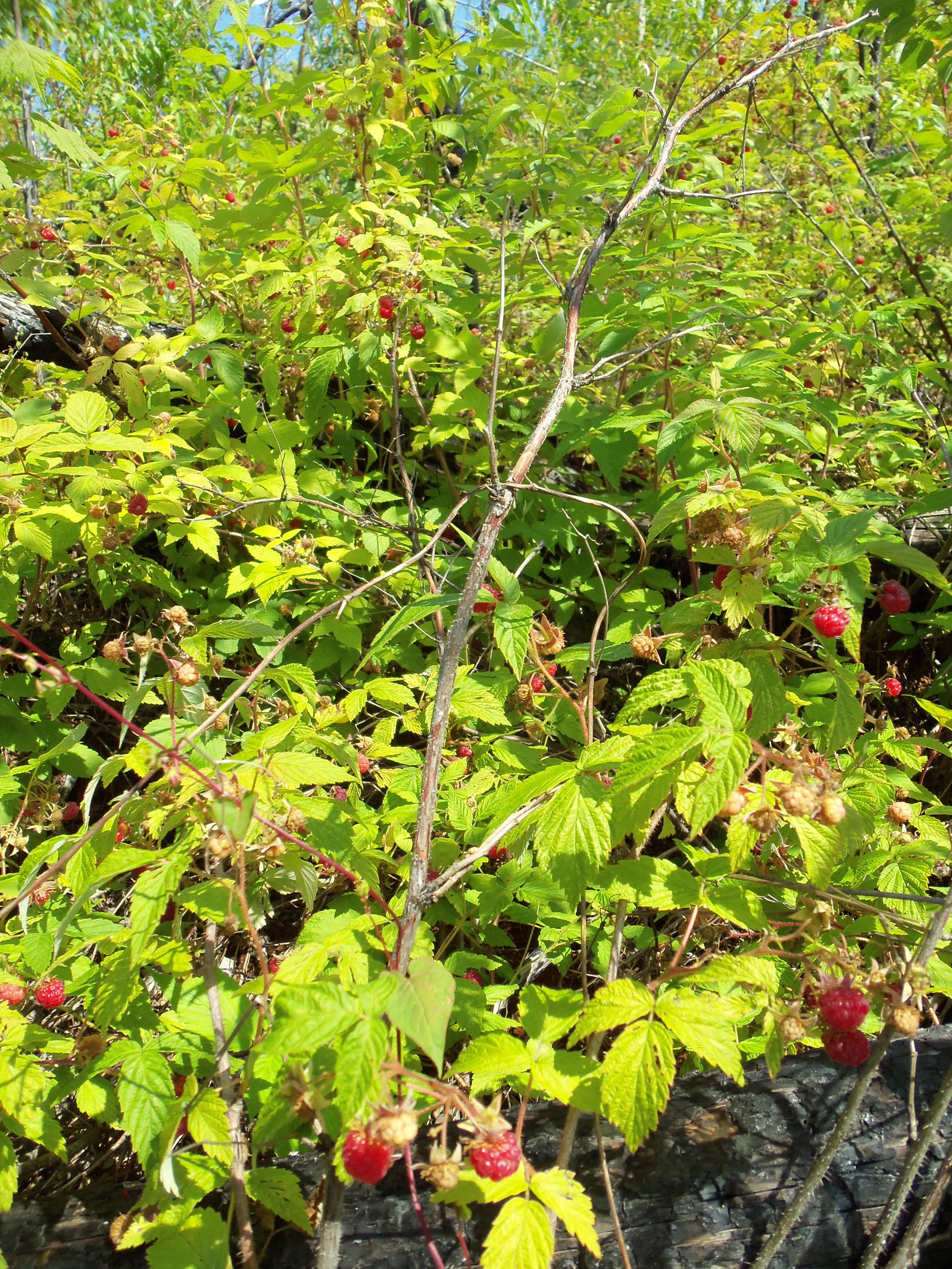
Our hopeful last portage is upon us! It is a very nice mostly flat well worn trail. It is also absolutely covered with raspberries. Which delayed our efforts here considerably.

We paddled right past the first campsite as it didn't look to appealing. As we turned west around the bend, the landing to the island site looked awfully inviting. It didn't take long to discern that it was open. Without much investigation, Jodi quickly declared this would be our home for the next few days.
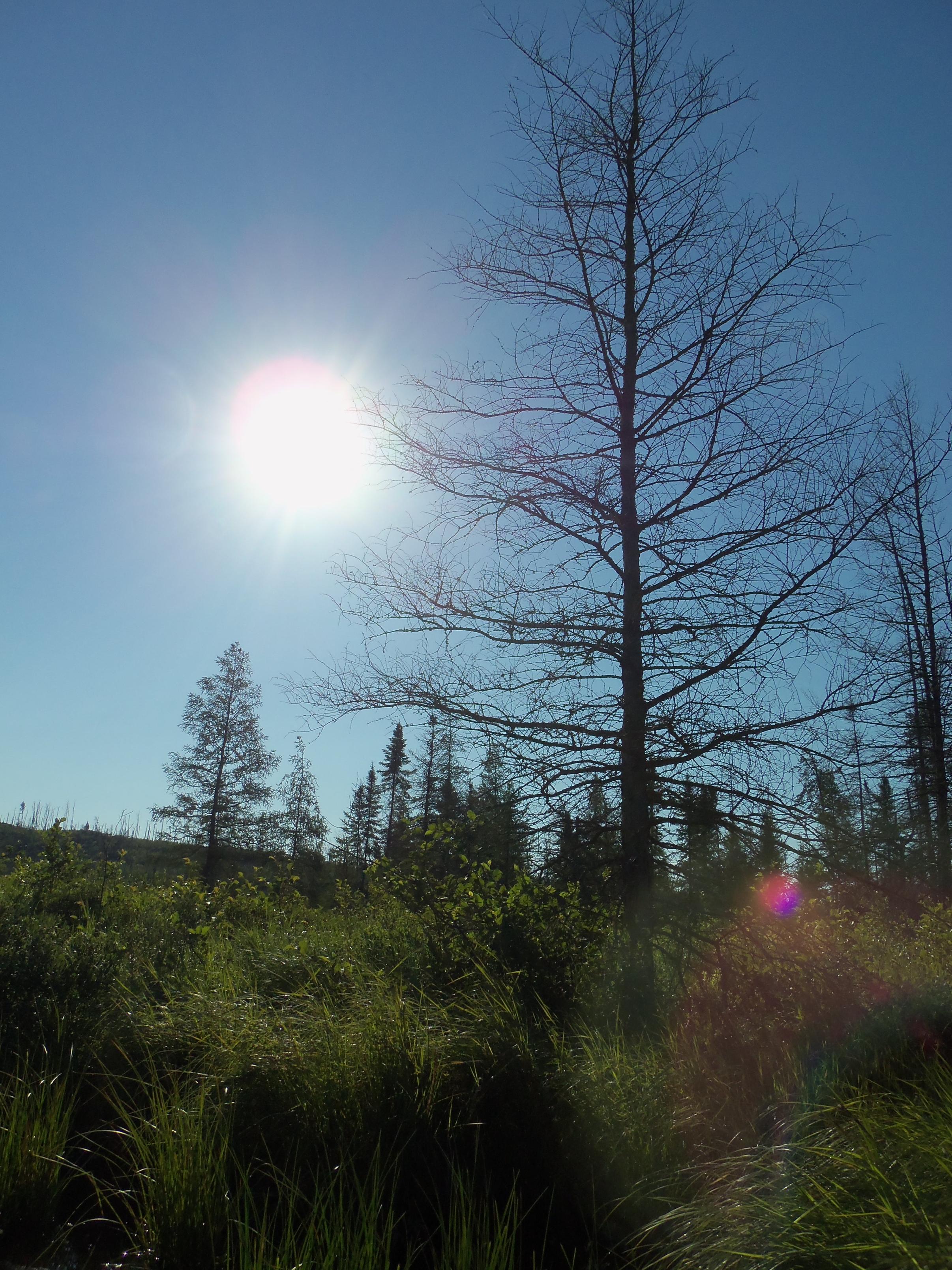
This spot seemed like as oasis in the desert. A vast majority of the surrounding area was decimated by the fires a few years back. This island apparently had escaped unscathed and was a lush green sanctuary for weary paddlers.[paragraph break]
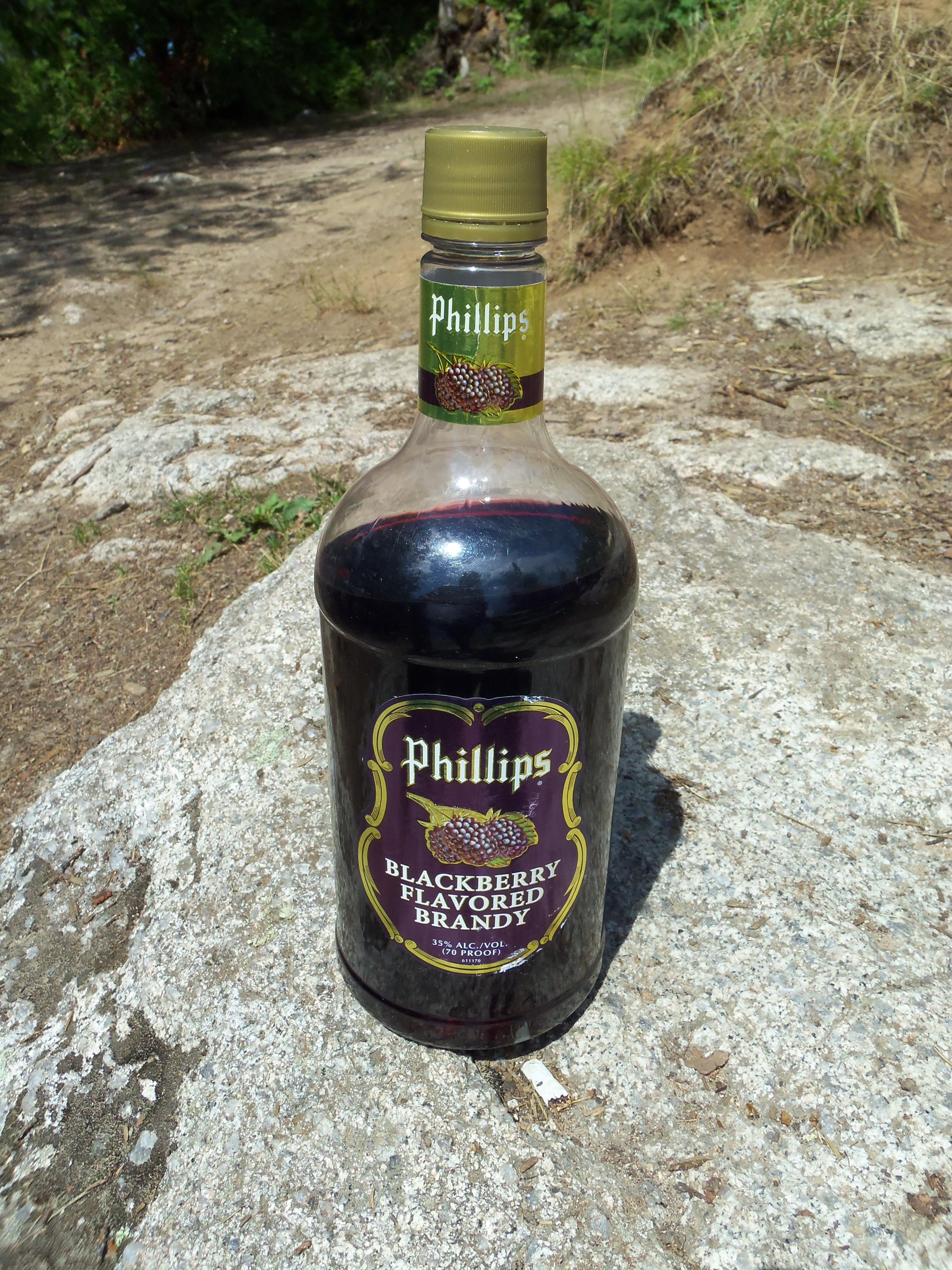
As we were setting up camp, Hence disappeared down one of the trails. In short order he returned with a huge smile and a smallmouth bass he had caught right from shore. LT. Dan took this opportunity to reaquaint himself with a dear friend he brings along on every trip.
With camp setup Hence & LT. Dan decide to devote some time to fish the sharp drop off on the SW side of our island where Hence had some success earlier. Pam & Jodi just wanted to relax in a cool spot. It was still early afternoon, so Clay & I headed out to do some exploring.
We set course in a northerly direction heading for the Devils' elbow area. We were dragging some small rapalas behind as we paddled. We enjoyed some success fishing. Even hooking into a "double" right at the northern most peak of Devils elbow. A couple of small smallies. We paddled down the west side of the elbow. There was an impressive rock wall where the waterway narrows.

This appeared to be a fairly nice site. It was hit pretty hard by the fire but still had a homey feel. As we lingered and started wandering the outer perimeter of the site we began running into nice patches of blueberries. We went back to the canoes and grabbed our containers. We picked until we were sure we had enough for pancakes tomorrow morning.

We returned to the landing and abruptly I had a stroke. The Black Pearl was gone!!! I immediately scanned the watery horizon for anything that looked out of place. NOTHING! I then glanced off to the left and noticed a familar black object just a few yards down the shore line hung up on some overhanging branches. Apparently we were both so engrossed picking berries that we failed to hear the canoe sliding down the rocky slope at the landing back into the water. Or maybe it was the Devil?!?!?!? After all it is his elbow. :)
We headed back. Stopped at the site almost directly east across the Devils elbow peninsula. There was a huge bare rock knob running down to the lake which made for a difficult landing. We were sure to bring the canoe up far enough off shore. As one might expect this site was razed as well. The trees that remained were in about the least advantageous areas for the duties they are usually used for. Also the site was incredibly exposed to the wind. Which, in one respect, might be a good thing as there was alot of grass & weeds about. Which usually translates into it being very buggy. There were berries here too, but not nearly to the same extent as the site across the peninsula.

Once back at camp we settled in for a pleasant evening. My biggest fear staying on this site was bugs. It was very grassy & weedy. Makes for a softer, easier ground to work with regarding tent setup etc. But the trade off is usually bugs of biblical plague proportion. Tonight we had no such problems. The clear sky we enjoyed all day carried on through the night & we were treated to an amazing unobstructed display of the milky way & stars.
Larch Lake, Clove Lake, Gneiss Lake, Maraboeuf Lake
 Donate - BWCA.com