Wisconsin River
by candyj
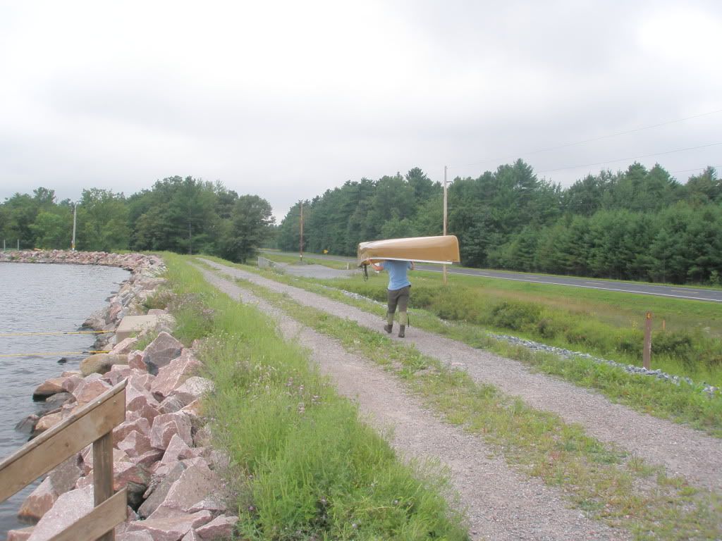
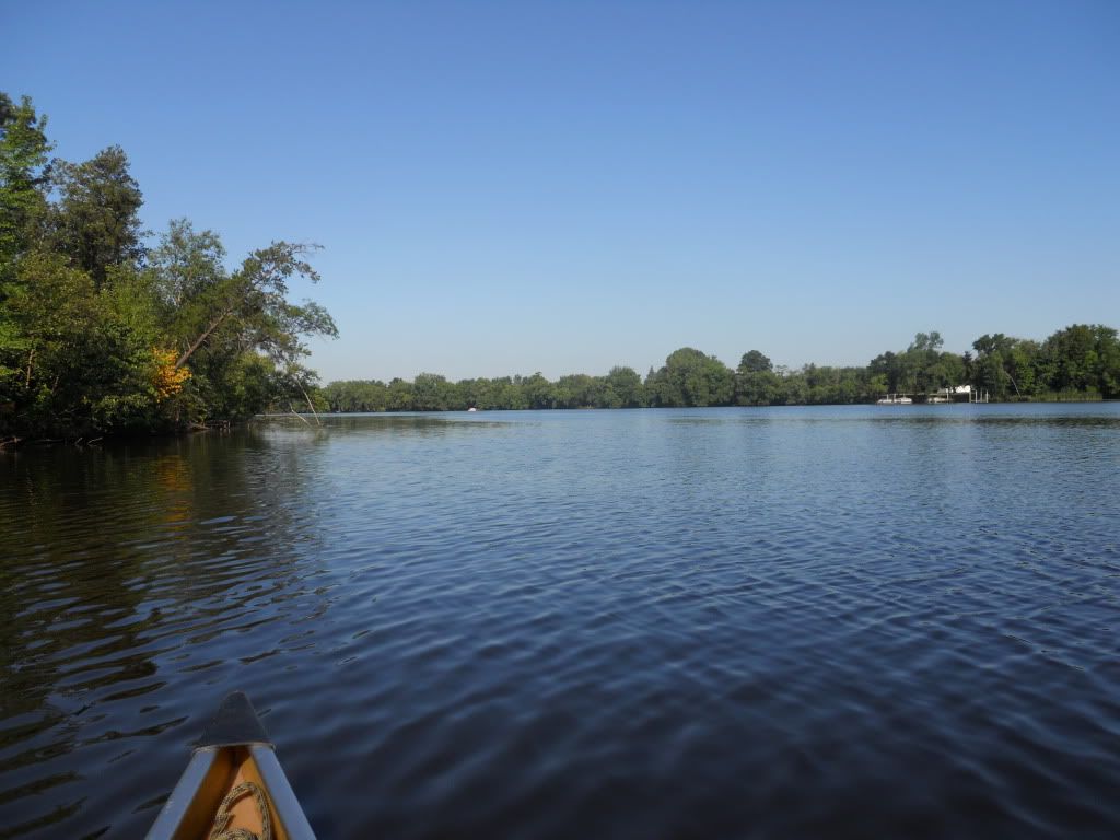
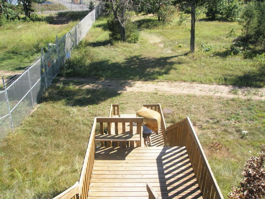
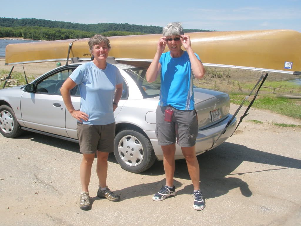
We arrived at a boat landing on Lake Dubay (mile 186 of the Wisconsin River Centennial Trail) at 4 pm to start our trip of what we would call the Lower Wisconsin River. We started later in the day because we both had to work and we thought we could get in a few miles before the sun went down.
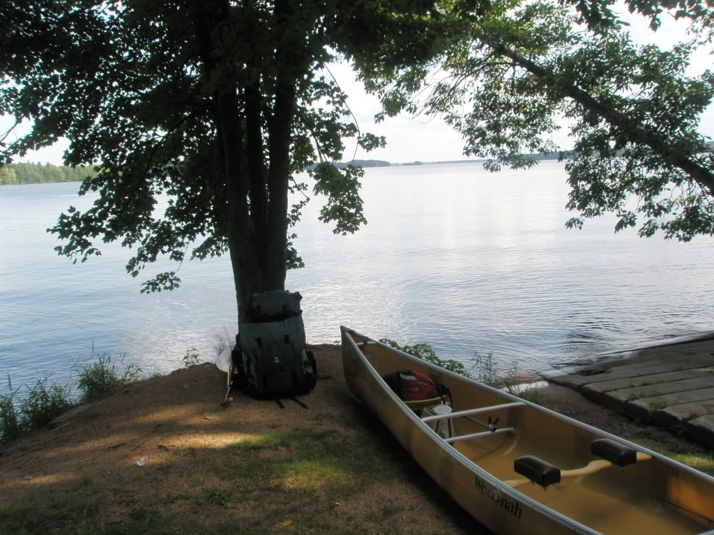
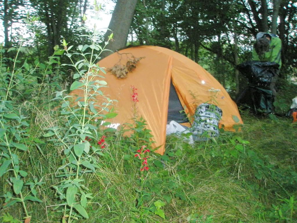
We portaged around the DuBay dam and found a place to set up the tent at mile 196 at 7:30. The sun was setting fast and we where in the tent a little after 8 pm.
Friday, August 12, 2011
It looked like it could rain today. We got on the water just before 8 am. Today we would start by going through Stevens Point.
With this trip, we expect a lot more "big" water where wind can be a real challenge and longer portages.
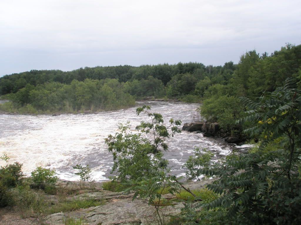
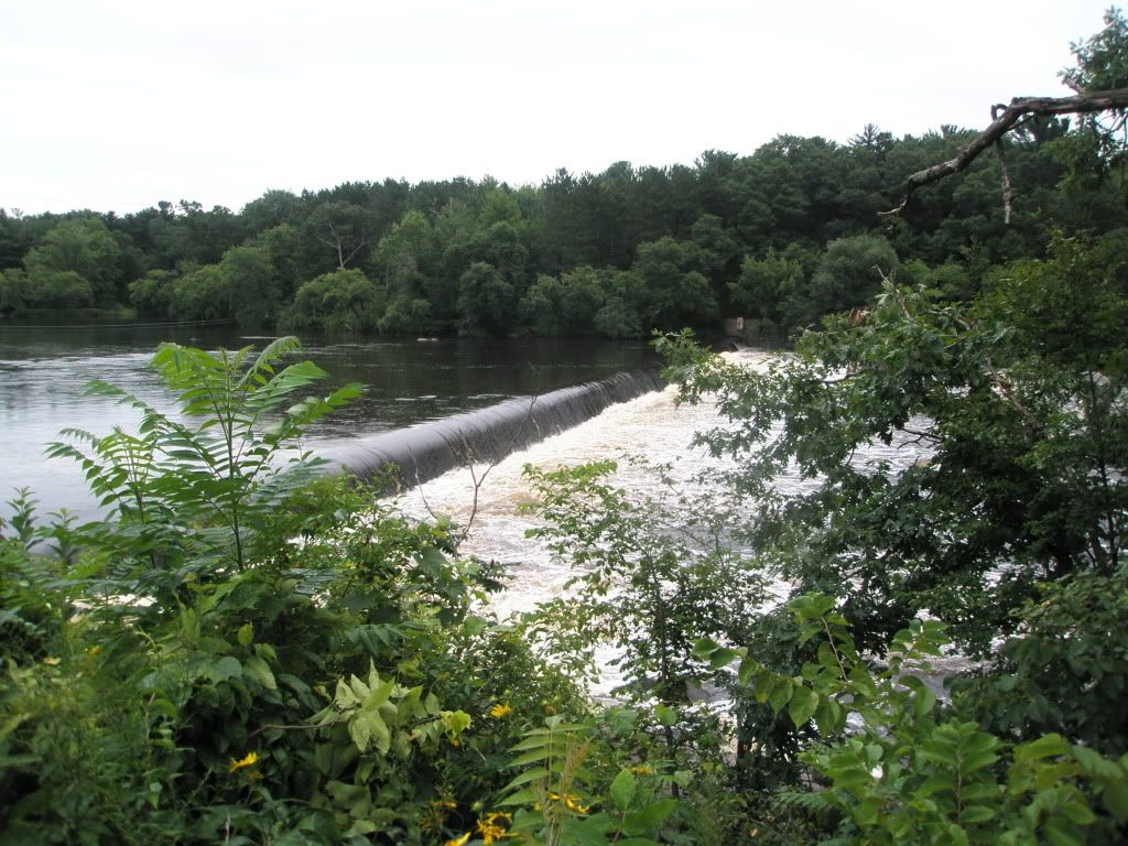
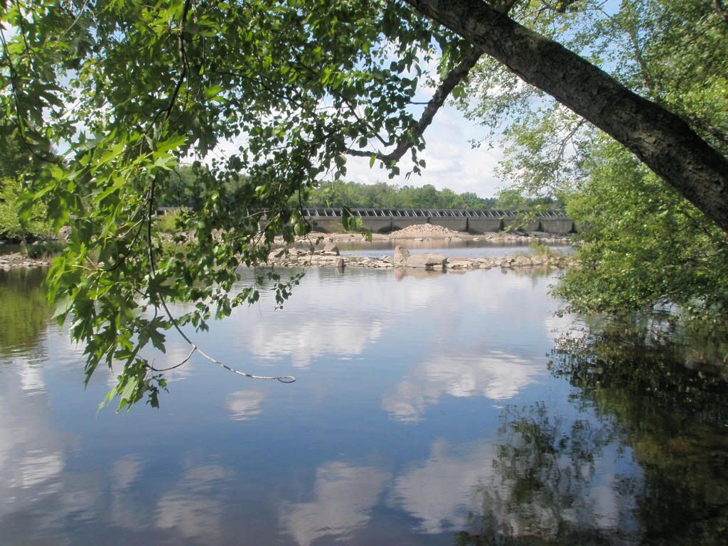
The first dam is the Stevens Point dam. The portage is just under a quarter of a mile long.
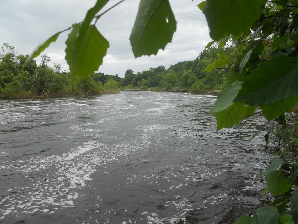
The put in is pretty close to the dam and with the high water levels, the discharge is fierce.
The distance between dams is not too far this day. The next dam is the Whiting dam, a couple of miles away.
The Whiting-Plover dam, the third dam in the series, is then a mile away. This day we feel like we are in and out of the canoe a lot.
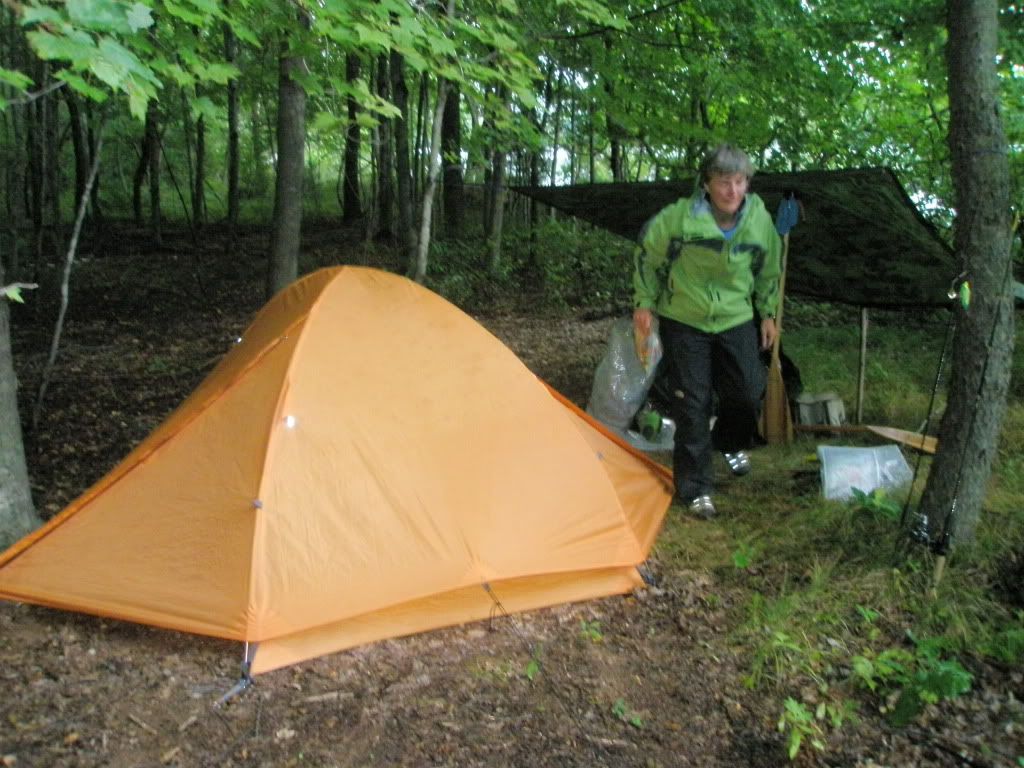
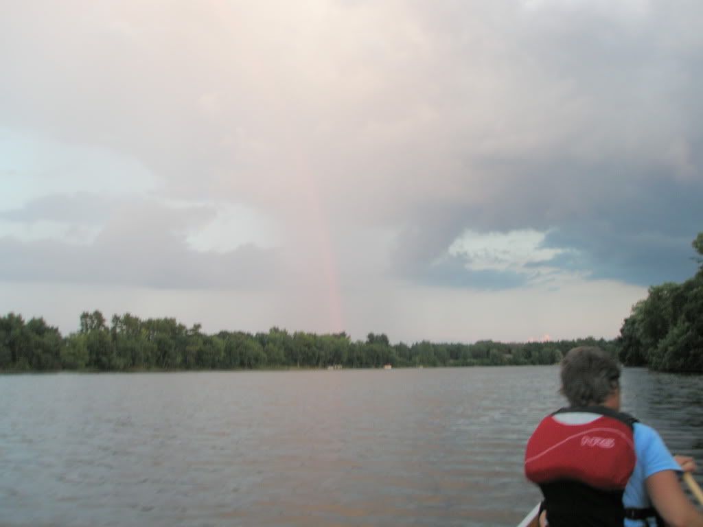
As we were going through Stevens Point it began to rain on and off. In the afternoon, the sky was looking very dark and the wind was picking up so we decided to make camp earlier than we would have liked. We found a secluded island that was fairly large at mile 213.
Saturday, August 13, 2011
The day started out overcast and calm. After few miles on the river we reached the Biron dam. The portage was only a quarter of a mile long.
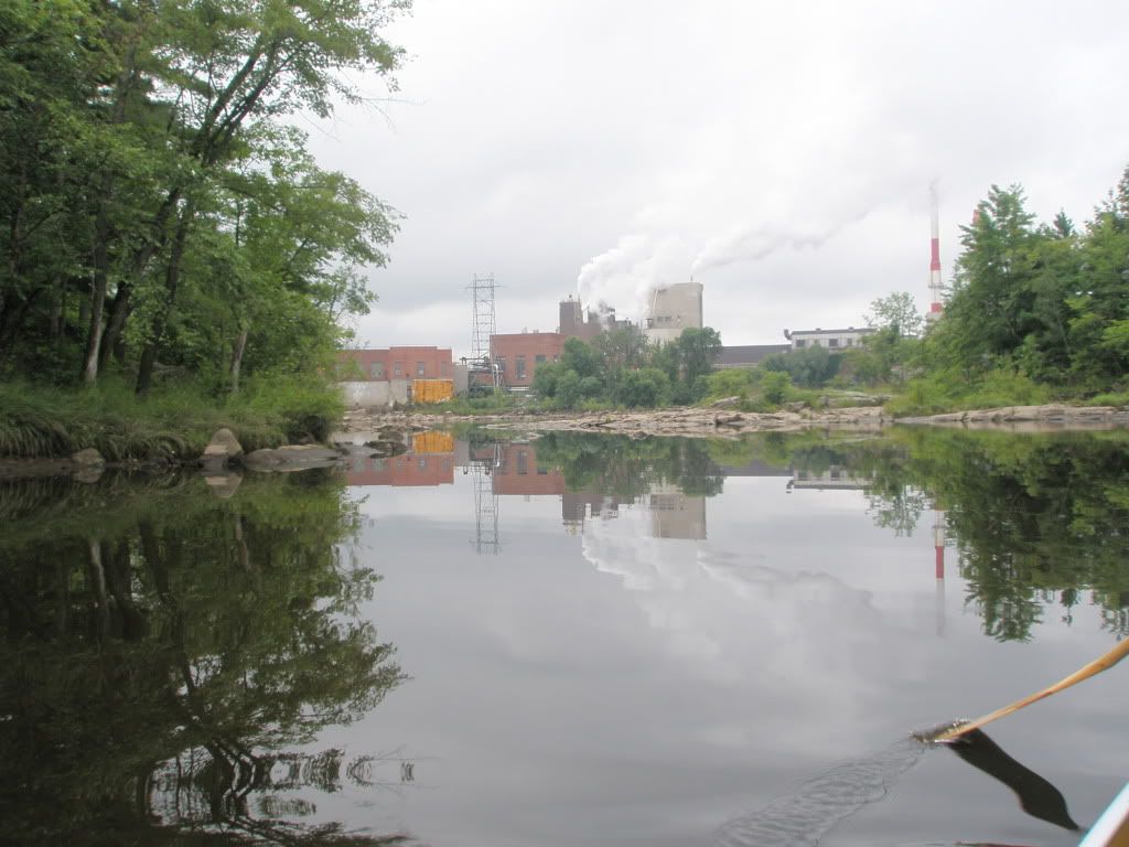
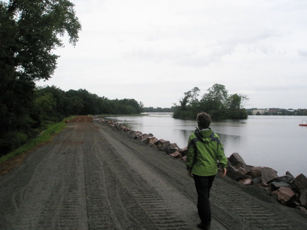
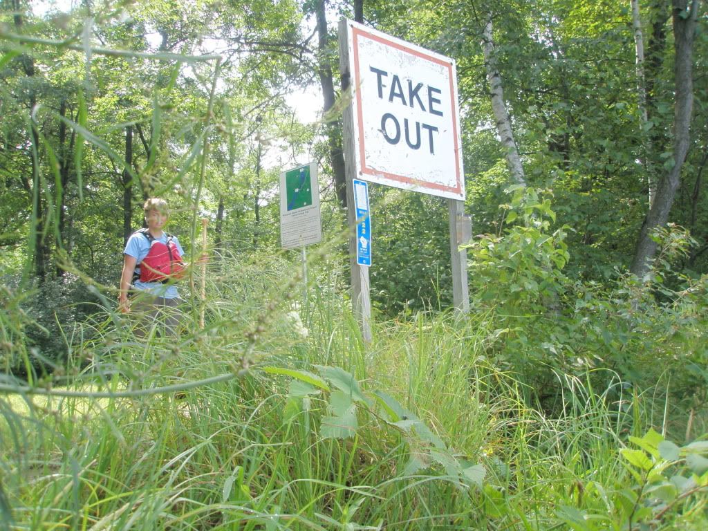
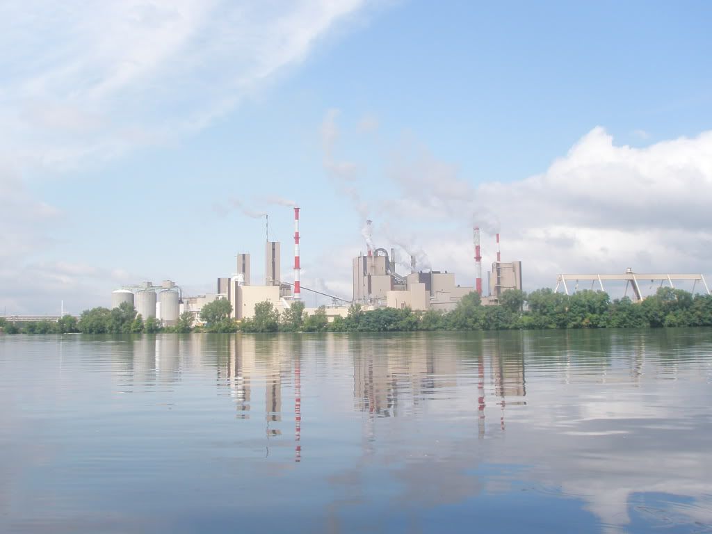
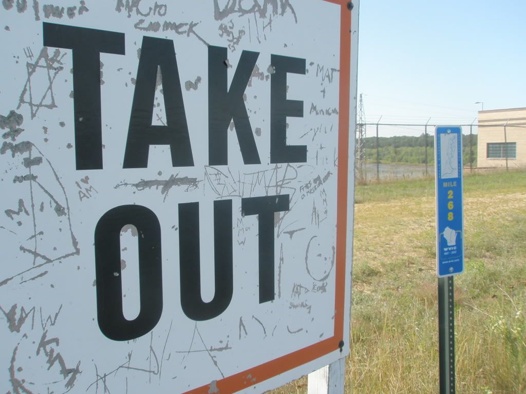
Our next dam was the Wisconsin Rapids dam. At the take out, there are instructions for notifying the papermill so they can help you with taking your gear the mile long portage it will take to get around the dam. Because this was Saturday, we were out of luck according to the security man. Oh well, the clouds were breaking up and the sun began to shine so it was nice to get in a walk.
At Demitz Park we decided to rest and have lunch before more paddling.
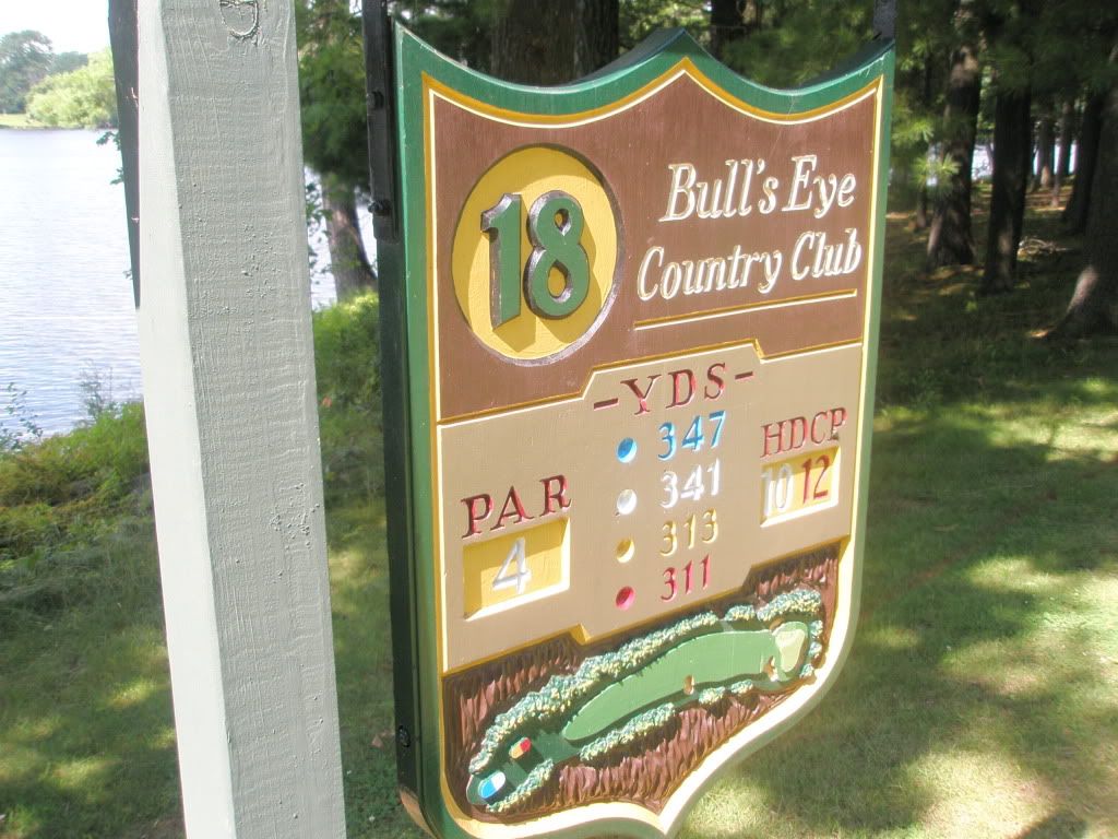
The Centralia dam is next to a golf course and the portage is very close to the tee. The golfers did take a second look to see a canoe going through their course.
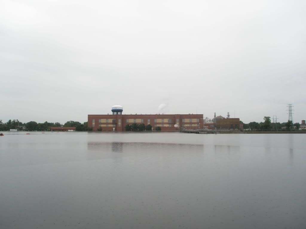
We go through the Port Edwards dam and then it is on to the Nekoosa dam. While in Wisconsin Rapids, we refilled our canteens at a church that volunteers were working at. Mary asked if there was a place along the river that served food. The volunteer knew there was a McDonalds just before the Nekoosa dam. So we had hot fudge sundays on our minds at we paddled to Nekoosa. We found McDonalds, before the dam. The portage around the dam is 1.5 miles and it was about 7:30. We knew we would really have to book it if we were going to find a place before dark.
A nice gentleman saw us carrying our gear down the sidewalk and offered to carry our gear and the canoe in his truck to the put in. He assured us he had the best of intentions so we took him up on it. We knew we would never make camp in the light of day if he hadn't help. It turns out he had canoed the Wisconsin with his father and wanted to find out how far we were going (he had seen us at the Biron dam earlier in the day). We got back on the river and paddled as hard as we could to get out of town and found a nice place in a red pine plantation, high up on the bank at mile 234, just as the sun was setting. Thank you Mr. Christiansen.
Sunday, August 14, 2011
Today the sun was out and the sky was cloudless, so plenty of sunblock we applied.
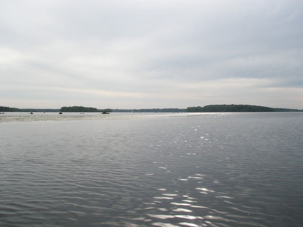
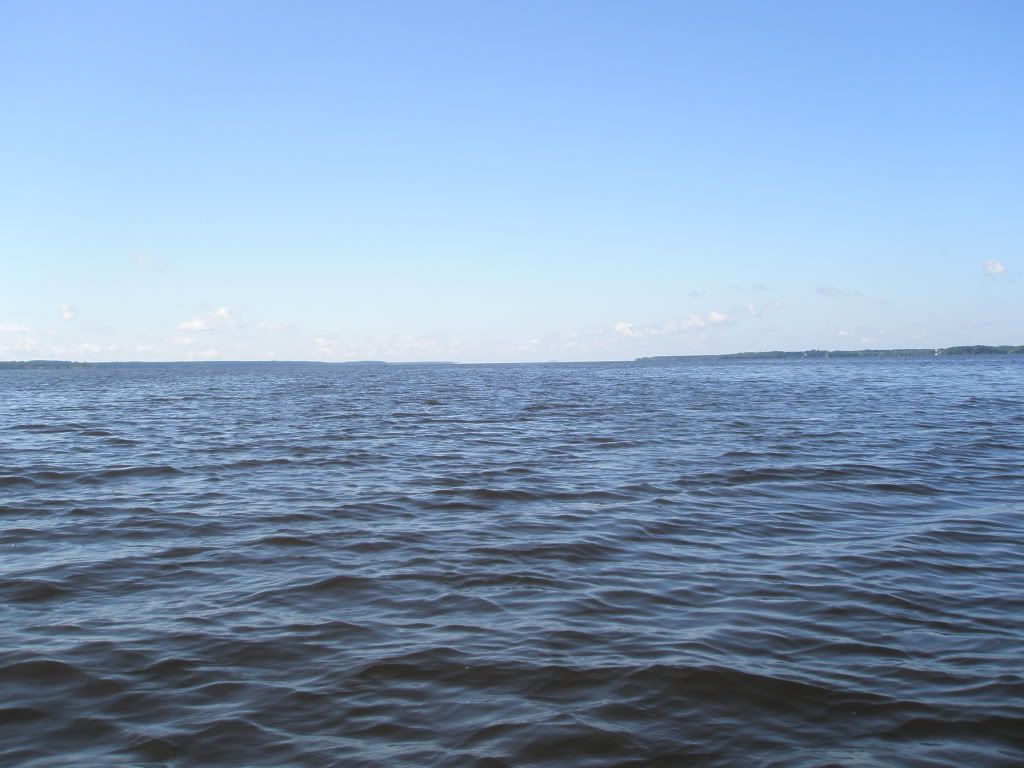
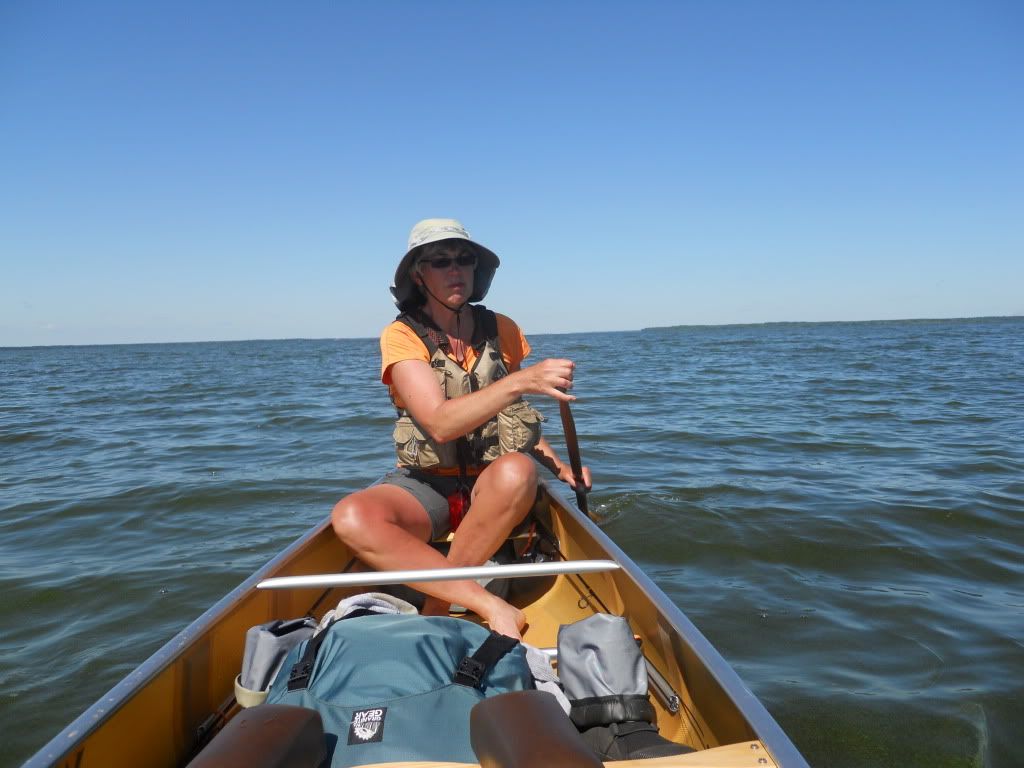
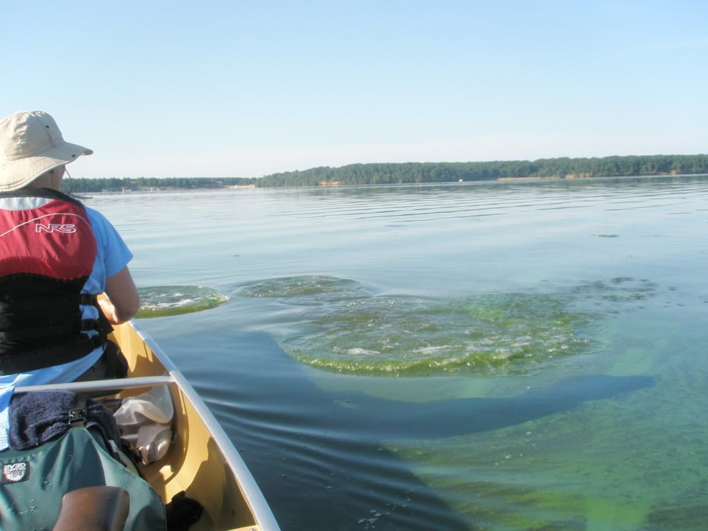
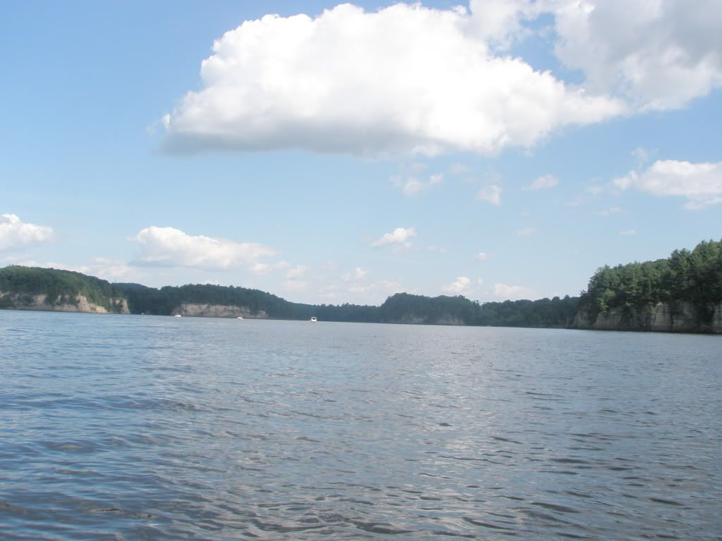
The Petenwell flowage spans 16 miles in length and up to 4 miles in width and is the second largest inland body of water in the state. There was a very brisk north wind that we actually were able to use to our advantage by riding the white caps. We never felt unsafe; the canoe was very stable in this water.
We stopped at the Juneau County Wilderness Park on river left for lunch.
We made it to the Petenwell Dam by 3:30, not too bad, we still had plenty of daylight left.
Castle Rock flowage is another big flowage that follows just a few miles below Petenwell. It is the fourth largest inland water in the state and is 12 miles long. With strong wills and perseverance we travel all but two miles of the flowage. We made camp at Buckhorn State Park at mile 265. They offer several canoe-in sites along the river.
Monday, August 15, 2011
The morning was beautiful and full of sunshine. We were on the water by 8 am.
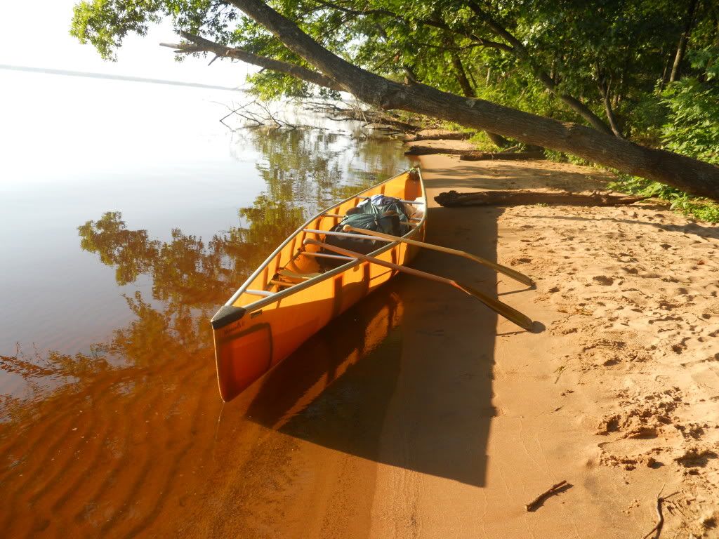
The waters were calm and the carp were active. They were on the surface of the water feeding and as we made our way they would splash and dart to get out of the way. There were hundreds of them.
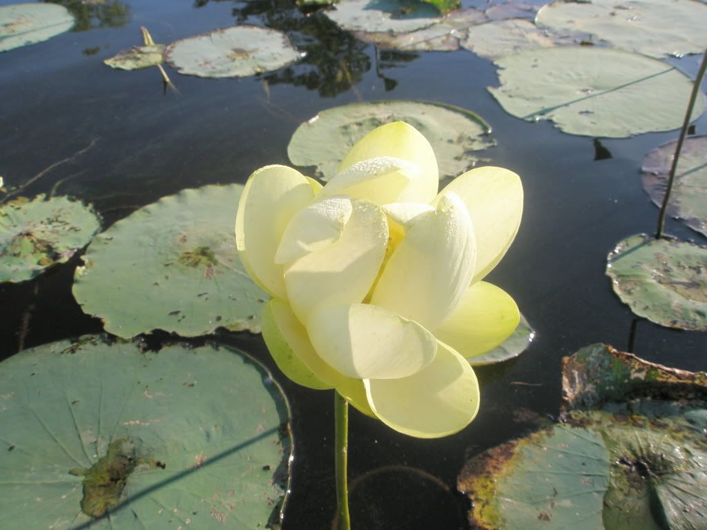
We found a bay that was loaded with lotus.
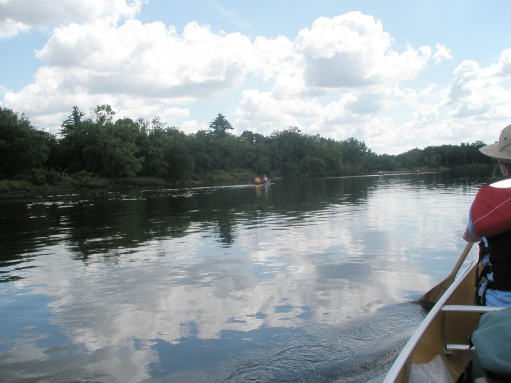
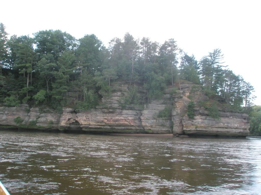
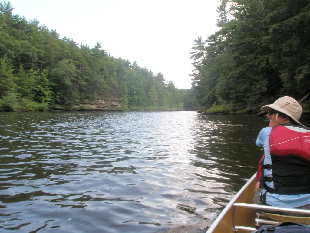
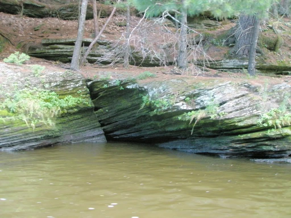
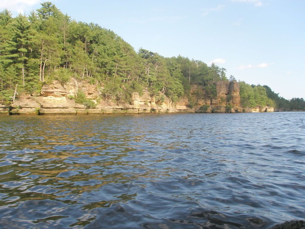
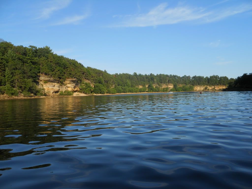
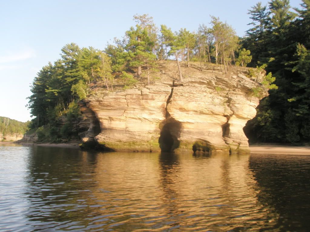
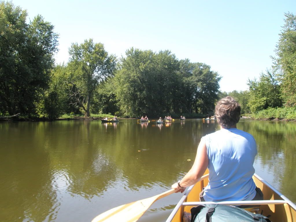
After Castle Rock, the river narrows and the classic sandstone cliffs can be seen. We are not very far from Wisconsin Dells so there were some tourists tubing and we come across our first group of canoeists. They did not appear to be very experienced. When we started to pass them, after we said hi, they wanted to know how far we where going and Mary said, "To the Mississippi!" and of course they did not believe us because they laughed and said they too were going to the Mississippi.
We stopped at the Point Bluff Resort for lunch. It is right on the river and we had a nice meal.
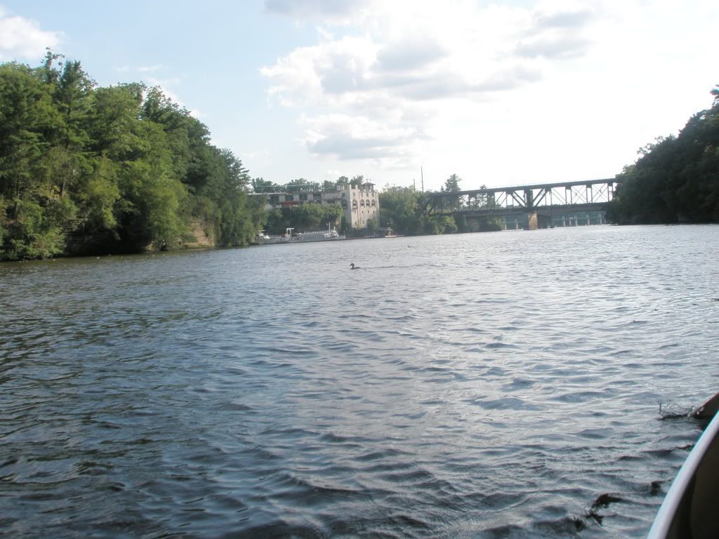
The Upper Dells were just ahead and this area had a lot of boat traffic since it was peak tourist season.
The huge motor boats and the jet boats carrying the tourists did their best accommodating our little canoe through the Dells. I mean our canoe could easily be demolished because those boats are massive. The wave action was huge and we just basically kept paddling until we could get through to a safer area. The scenery was gorgeous. We have mixed feelings about the commercialization of the area.
Even the ducks are used to the boat traffic.
We portage the Kilbourn dam and enter the Lower Dells. The sandstone cliffs last for a few more miles.

The Lower Dells had a lot less boat traffic. We saw the Wisconsin Ducks and listened to the tour guide as she passed us. A jet boat also was on this part of the river. The sun was starting to set so we kept our eyes open for a site that we could claim for the night.
We found a place that appeared to be secluded and away from the tourist action. Just after we thought that, a para sailor appear over our part of the river. Oh well, the sun was setting so it was probably the last run for day. It was a pretty rough site with the thorny vegetation at mile 293.
Tuesday, August 16, 2011
Another very sunny morning.
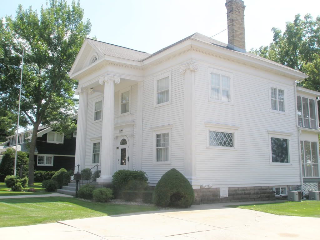
The river goes through the Pine Island Wildlife Area. It was a very peaceful area. We saw a couple of fisherman pulling in some nice bass. By noon, we reached the town of Portage. We tied up the canoe and walked into town to grab a bite to eat at the Big Dog Saloon after passing the Dirty Dogs pet grooming place. Mary thought we were due for a little grooming because after 5 days, we felt like dirty dogs. We passed the home of Zona Gale, the first woman to win the Pulitzer Prize for drama.
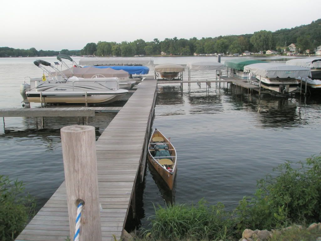
Today we had planned to stay with Mary's cousin who lives along Lake Wisconsin outside of Lodi. So we had to paddle across the large body of water with a stiff southwesterly wind. This probably was our hardest paddle. We had gone 30+ miles and we were hungry and exhausted. But we made it to Fitz's on the Lake at mile 326. Of course we had the only canoe at the docks. Then we enjoyed a wonderful fish fry.
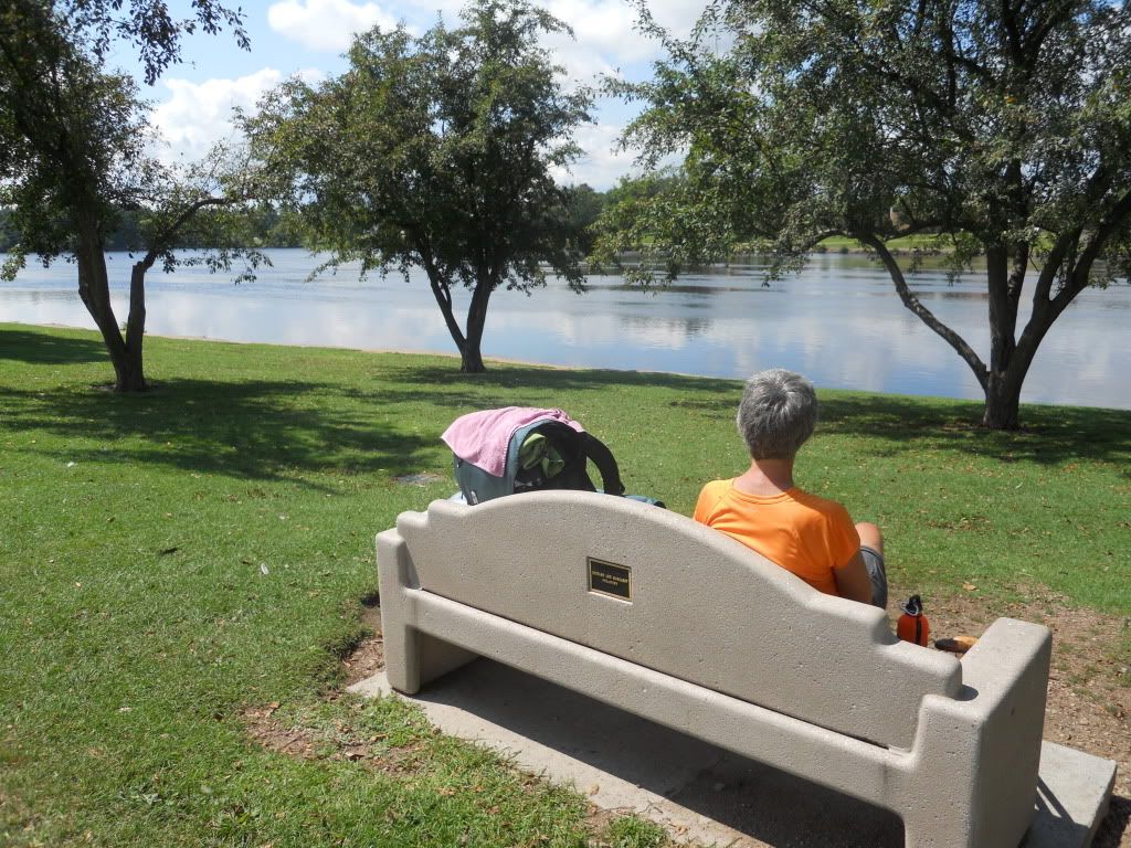
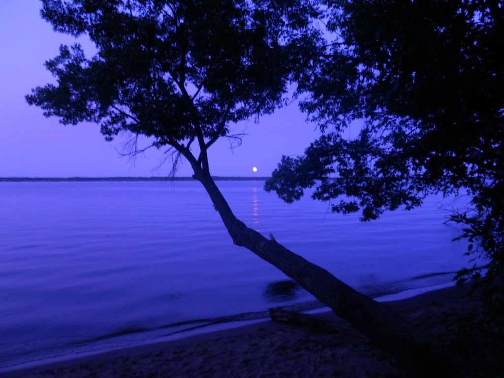
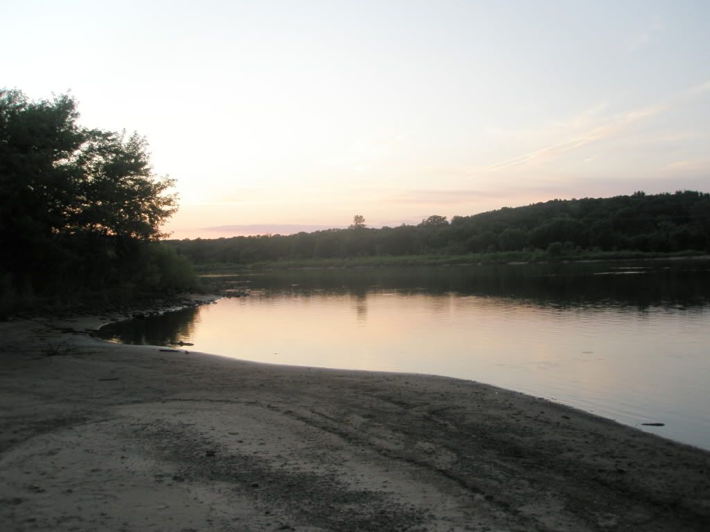
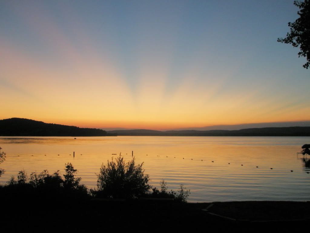
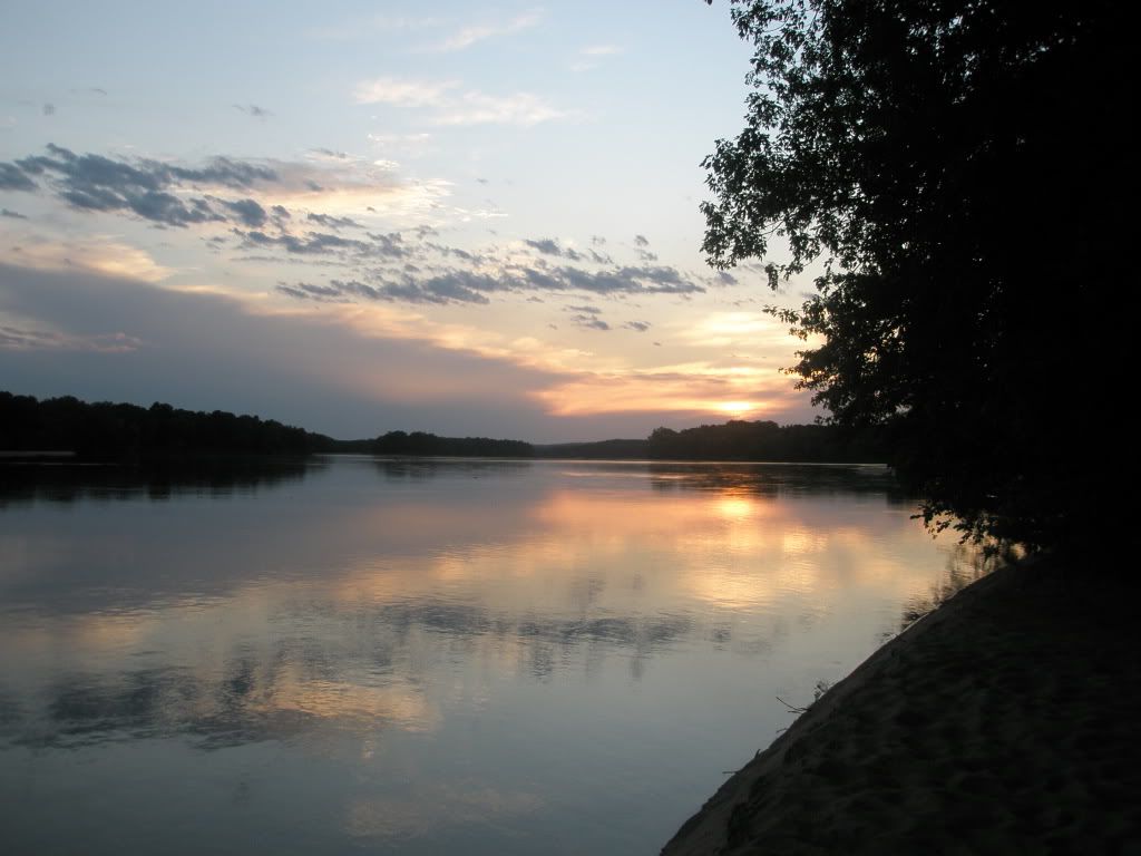
This night we had the privilege of sleeping in a bed while it stormed in the early morning hours. But best of all, we enjoyed a hot shower. The sunset this evening was gorgeous.
Wednesday, August 17, 2011
We said our goodbyes and we were on the water just after 9 am. We had a very large breakfast but we would need it. The water just gets bigger and the wind would be against us all day.
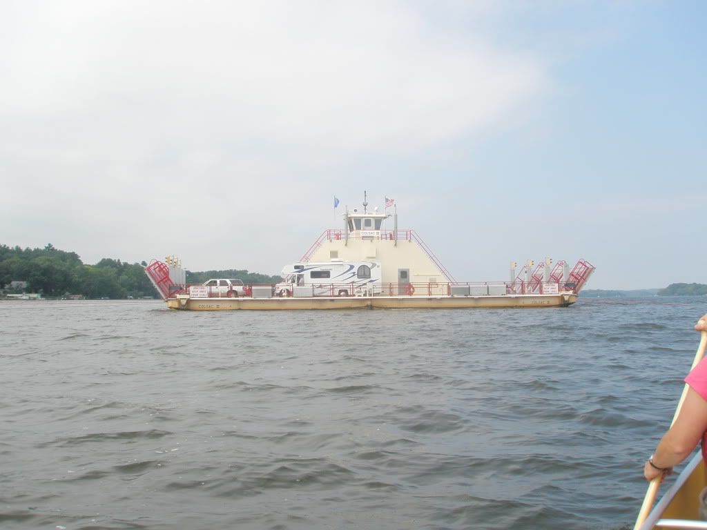
We got to see the Merrimac ferry.
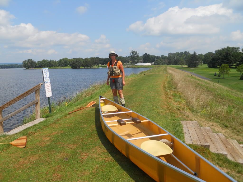
The Prairie du Sac dam is the last dam. We portage alongside another golf course.
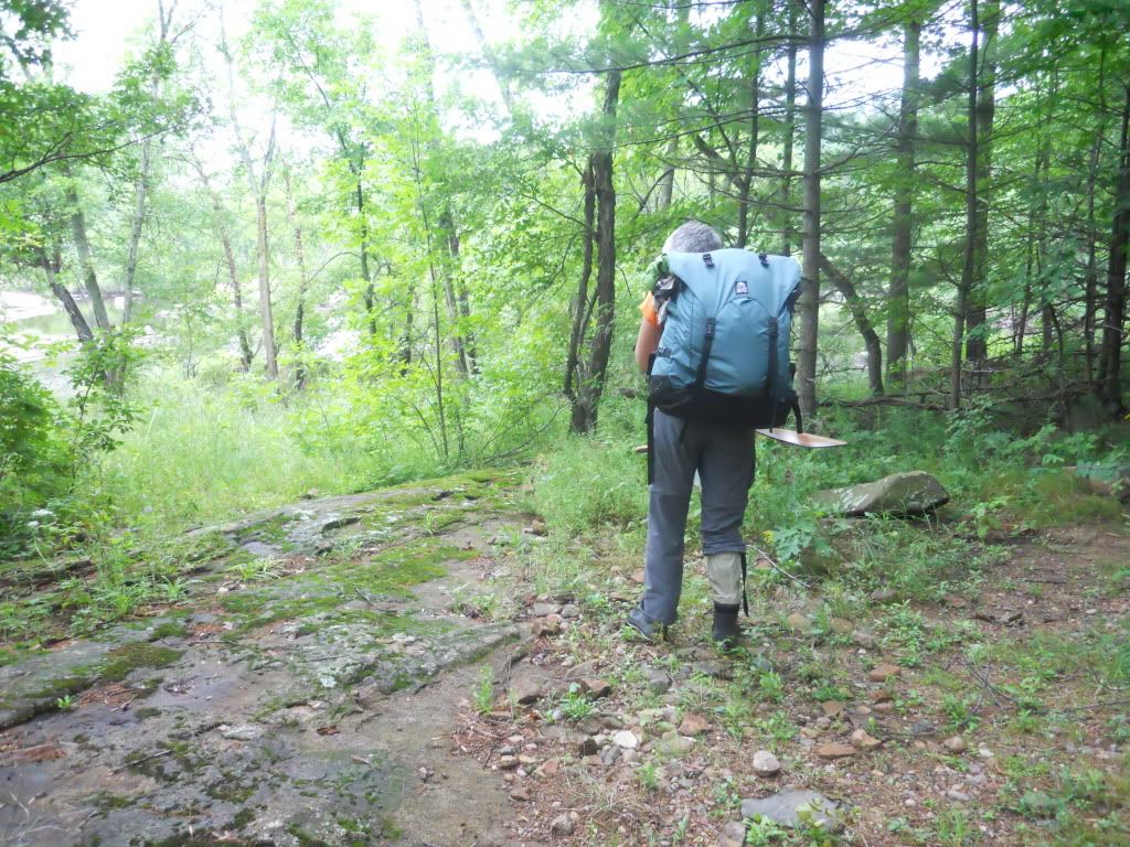
The remaining 92 miles is referred to as the Lower Wisconsin State Riverway. There are many sandbars in this portion as the water slows and the river widens. Sometimes we would have to go from one bank, all the way across the river to the opposite bank in a zigzag pattern to avoid the sandbars. Periodically we get out of the canoe and walked it to stretch the back and legs.
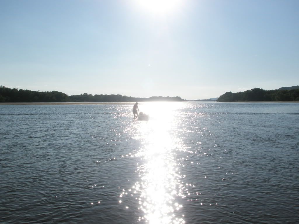
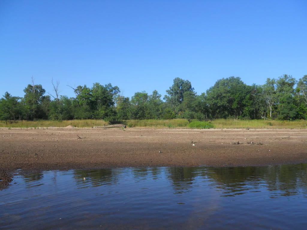
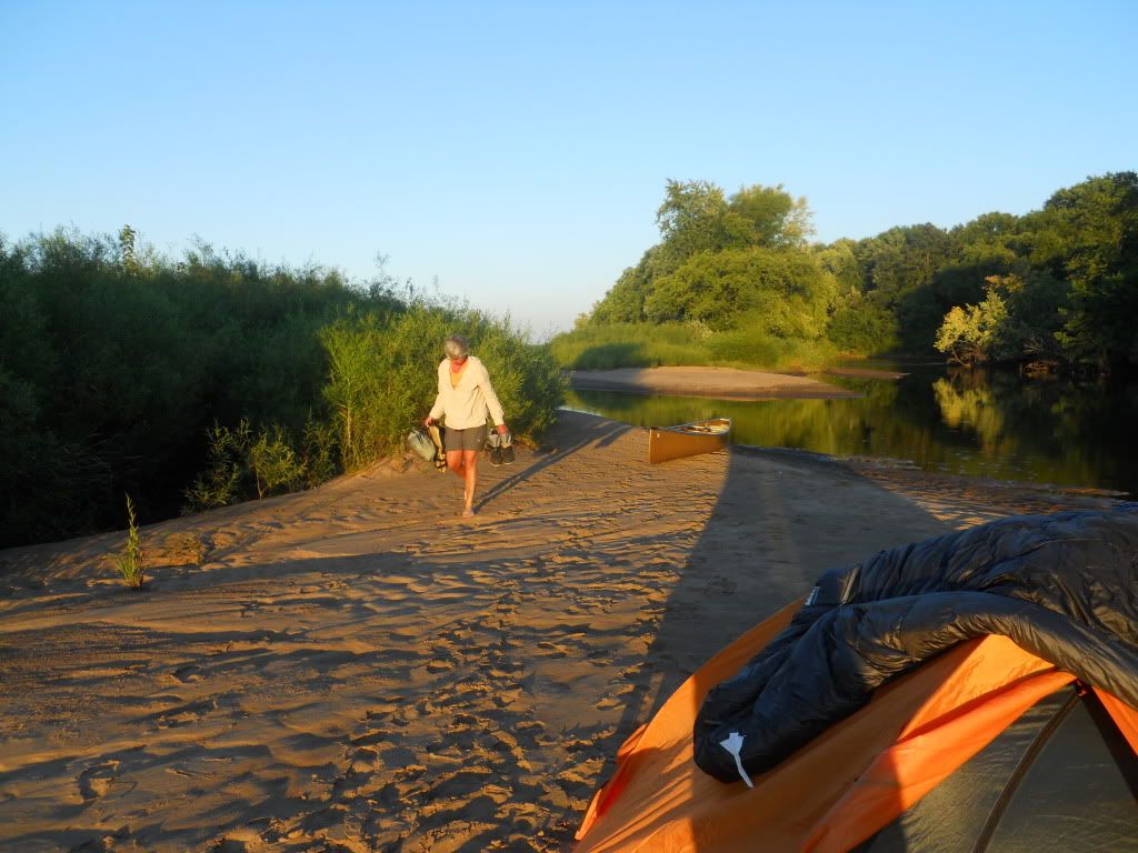
Sandbar camping is common in this area and we did see some people canoe camping, but not a lot. We found our own sandbar at mile 360 for the night and it was a very pleasant experience.
Thursday, August 18, 2011

This would be another sunny day. I am almost sick of the sun by now.

We find another sandbar to camp on at mile 398 just past Muscoda.
Friday, August 19, 2011
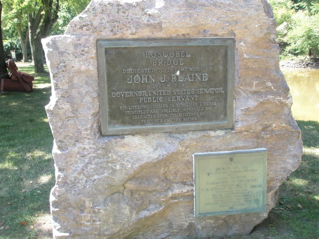
Another carefree day. We stop outside Boscubel for lunch at a park that appears to be a parking lot for canoeists taking the trip down the final miles of the Wisconsin.
With our high mileage days, it feels good to stretch the legs and soak the feet. The sand of the sandbars is top quality.

We find a site at mile 429, just outside of Wyalusing State Park to camp for the night. In a way we were saddened to see the end of our trip in site. But we both know we must get back to reality so that we may do something like this again.
Saturday, August 20, 2011
This is our final day. We reach the Mississippi with the sun shining and all our gear intact.
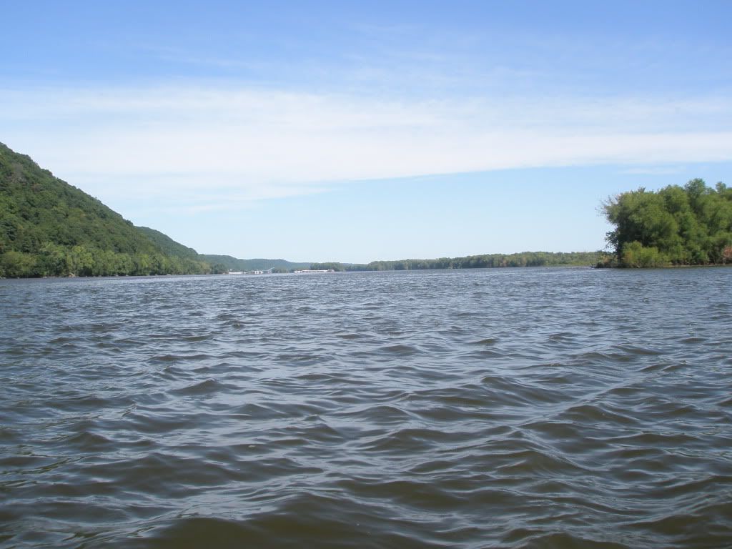
We take a little side trip through the slough the runs along Wyalusing State Park and encounter some more canoeists.
Then a few more miles.

 Donate - BWCA.com