Shangri-La up along the B-R-T
by TuscaroraBorealis

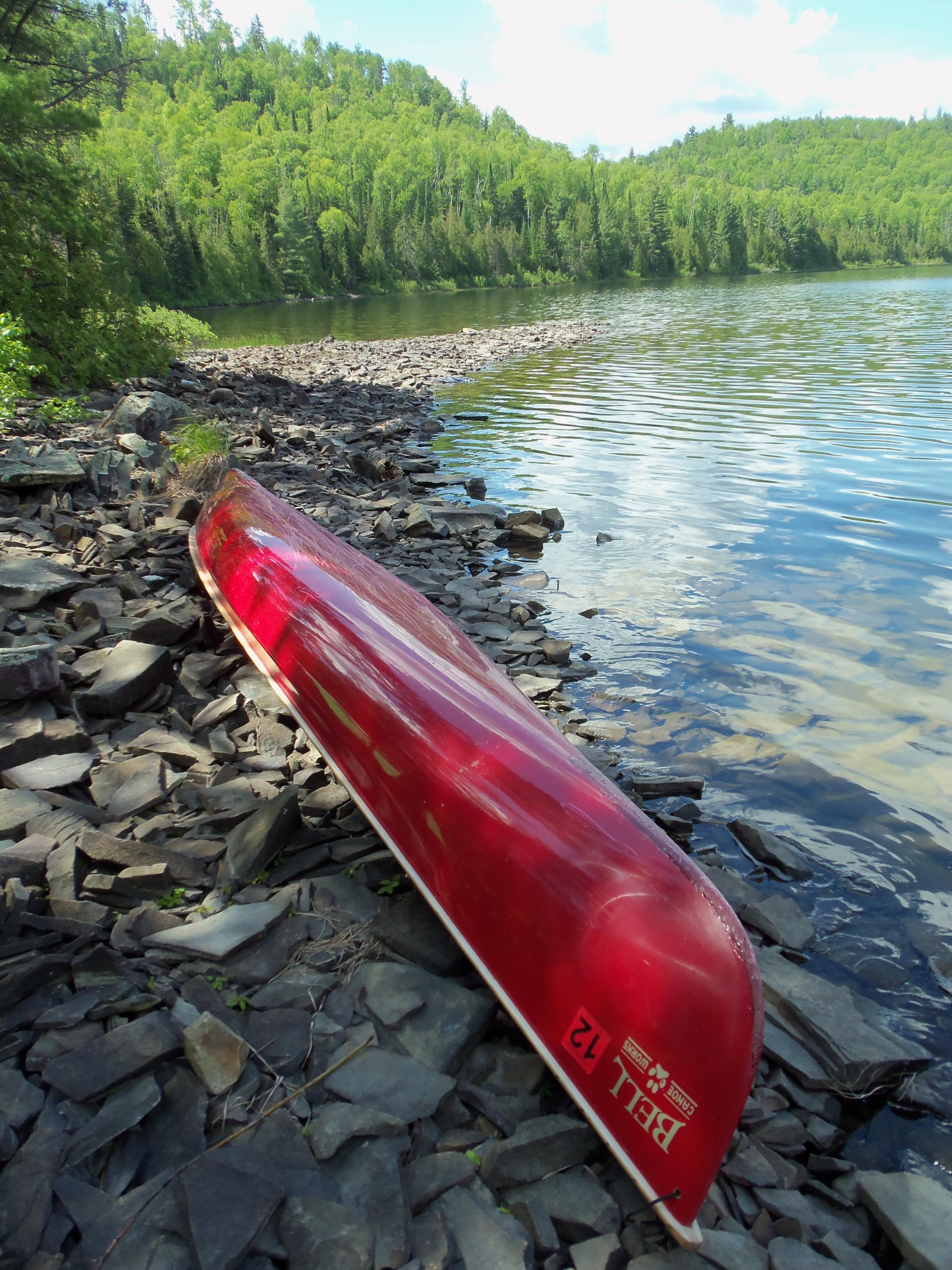
By this time our campsite had really grown on us. The landing was all loose rock. But, all were mostly flat which provided "somewhat" secure footing for getting in/out of the canoe. Adding an unusal aspect to these rocks was the fact that they ran out a ways from camp forming a point to the south that almost seemed to be something of a pier. A unique phenomenon in my book.
Around the firegrate these flat stones had been put to a most meritous use as perfect tables on either side. Also, a couple of small, low to the ground rock recliners had been fashioned.

Today was forecast to be the cream of the crop weather wise. So Ross & I decided to make our way to West Pike. Since Kelly had no interest in fishing, we left him the keys to the Red Bell Pepper with instructions to be home before dark.
Retracing our path of the other day, we descended down the first hill to where the actual BRT veers (west) left. At this point there is also a trail that heads straight north directly to West Pike lake. After passing the "T" the trail to West Pike climbs gently for the first few rods. From there on out it is literally straight down hill & there are no spots where the trail even hints at leveling off. Surprisingly, it is a well worn trail! About midway down the hill there are a couple of trees that will barely allow a canoe to squeeze through. There should be a medal presented to anyone who does this one fully loaded.
There is a small landing at the lakeshore. But, with the recent high water, it was flooded over. So it took a bit of manuevering to get situated before shoving off.
We headed in the general direction of the campsite on the far west end of the lake. (I had spent a few days there this past winter) From there we followed the north shore trolling along the way.


Compared with Gogebic, West Pike was Grand Central Station. We seen more than a half a dozen canoes out 'n' about. By the time we left, all the sites on the lake had been claimed. Still, paddling conditions were optimal and the scenery breathtaking. So those concerns were, at best, ancillary.
Fishing was slow along the north shore. Once we crossed over and came up the back side of the large island things changed. Soon Ross managed to hook into a smallie. While he played it out I let the Pearl drift near shore on the west side of the small peninsula that juts out from the south shore. As he released the fish, I noticed something unusal along shore.
Since we were both in need of getting out to stretch. We paddled over to investigate.

Continued working our way west down the southern shoreline. Never got too serious. But, eventually, we both conceded and set our fishing poles aside, succumbing to the intensifying winds.
Made our way back up to Gogebic. And I mean UP! :) Once there, I was ready to get back to camp & get supper started. Ross had supper on his mind as well. But, evidently, was contemplating a different angle than I? He convinced me to take the long way home while we plied the waters for Salvelinus Fontinalis.[paragraph break]
In short order the menu for supper tonight had vastly improved.


Gogebic Lake, West Pike Lake
 Donate - BWCA.com