Piwi Goes to Piwi
by Ho Ho
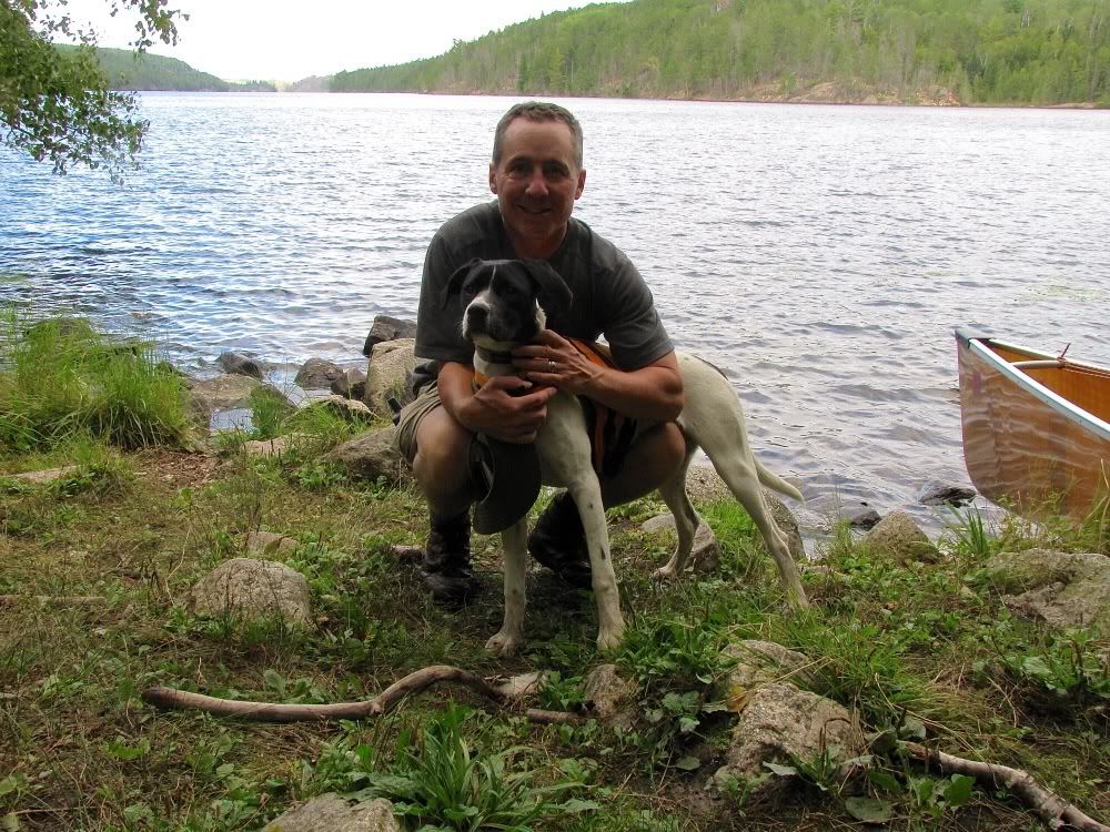
It was a cool, crisp morning when we got out of the tent at our Lost Bay campsite. Apparently it got down into the high 30s overnight in Ely, and that's probably about what it was on Lost Bay too. In other words, a perfect late-summer morning with mist rising off the lake under bluebird skies -
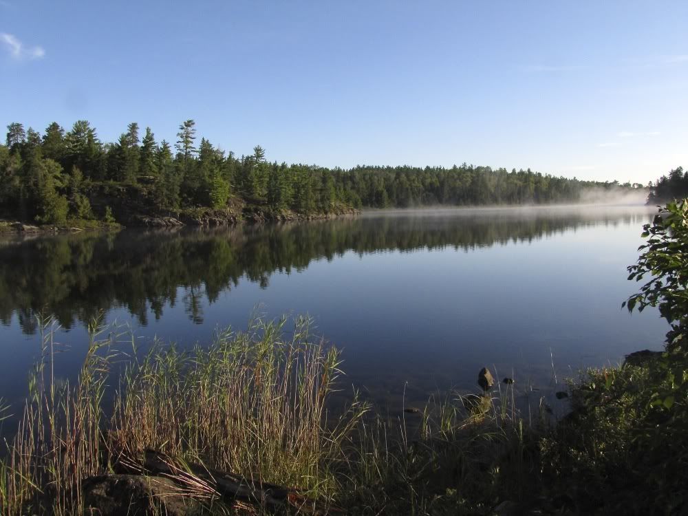
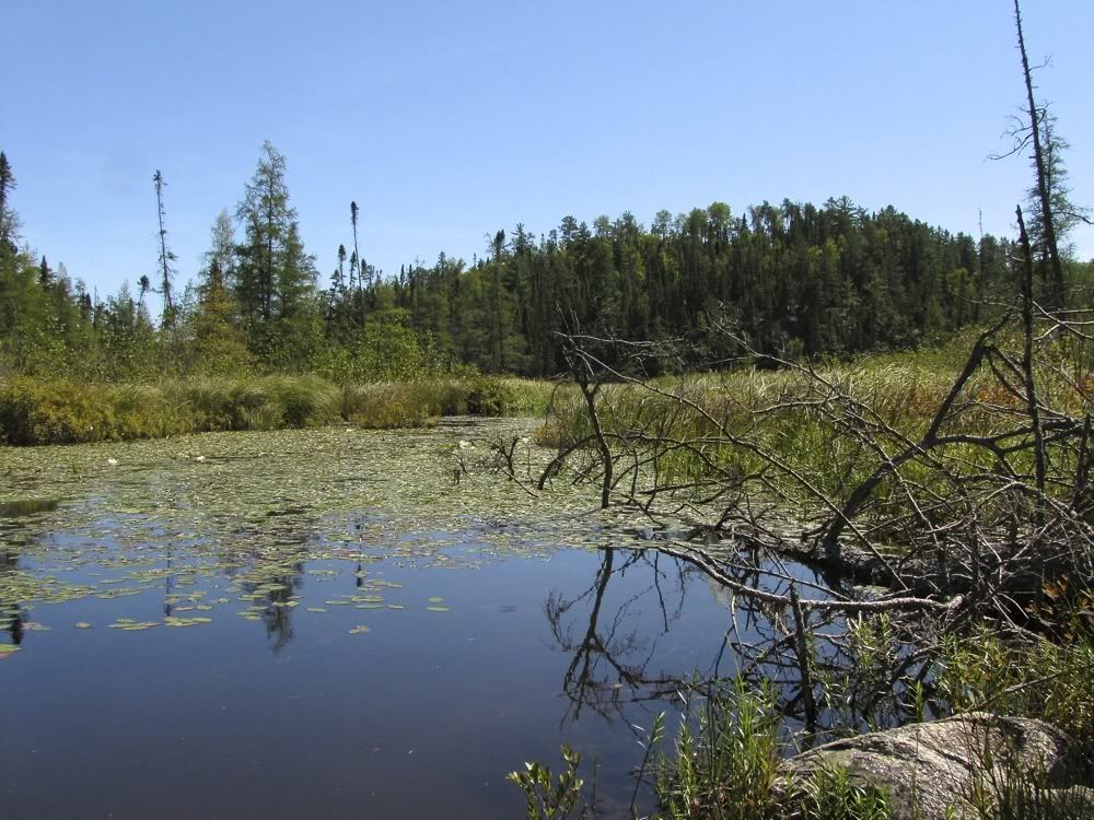
We enjoyed our usual morning leisure and left camp a little after 10:00. We paddled back up the channel connecting Lost Bay with the north end of North Bay, then found our way through the reeds into the mouth of Isabella Creek. The first time we tried to go this way back in 2005, we couldn't find the mouth of the creek in the thick vegetation (especially in the low water that year) and detoured via another route out of North Bay. Since then we had gone up Isabella Creek a couple times and knew we had to push our way through the reeds and shallow water to the first beaver dam, which would provide deeper water on the other side upstream.
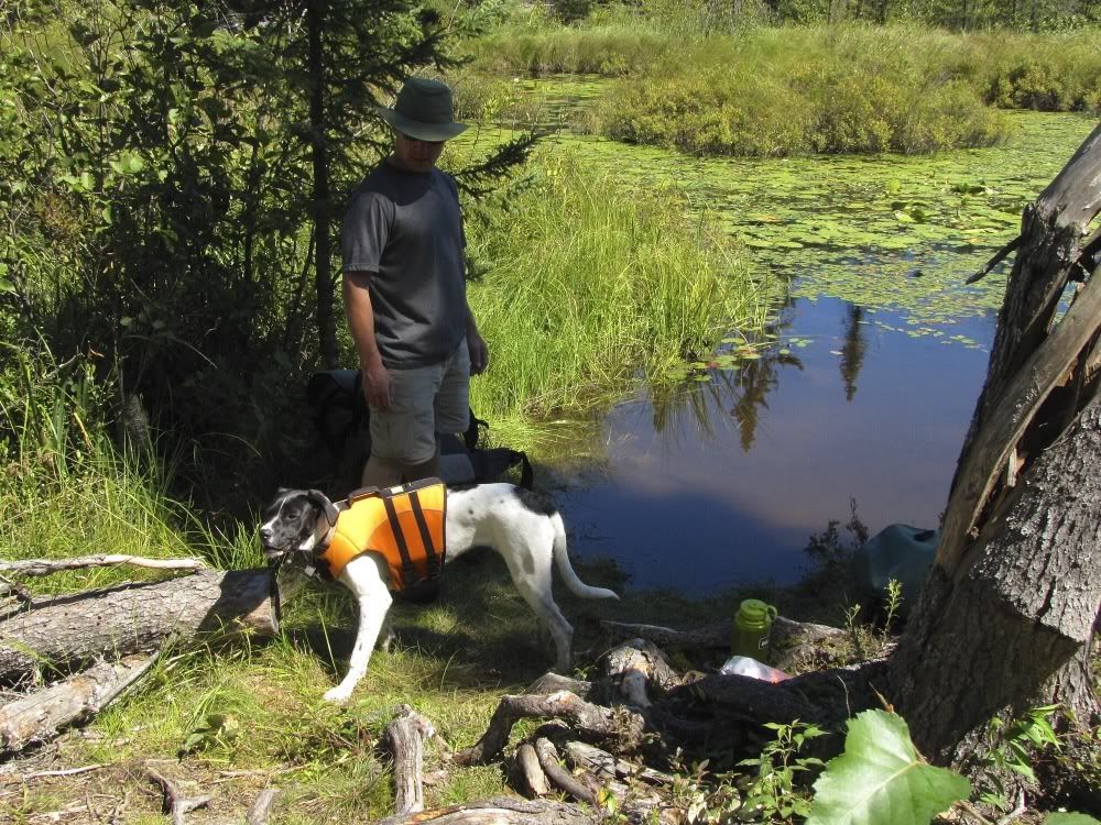
When we got to the beaver dam, Piwi was in seventh heaven. She LOVES sticks. Especially sticks that have marinated in muddy water. Could there be anything better than a beaver dam? -
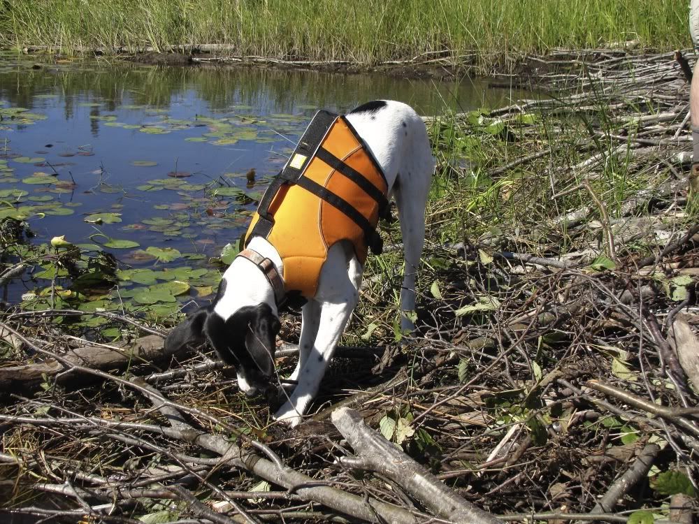
We pulled the canoe over the dam while Piwi sampled an array of beaver wood. Then we coaxed her back in the canoe and continued upstream, around some rapids and another dam, through a beaver pond, and up the main part of Isabella Creek toward Isabella Lake.
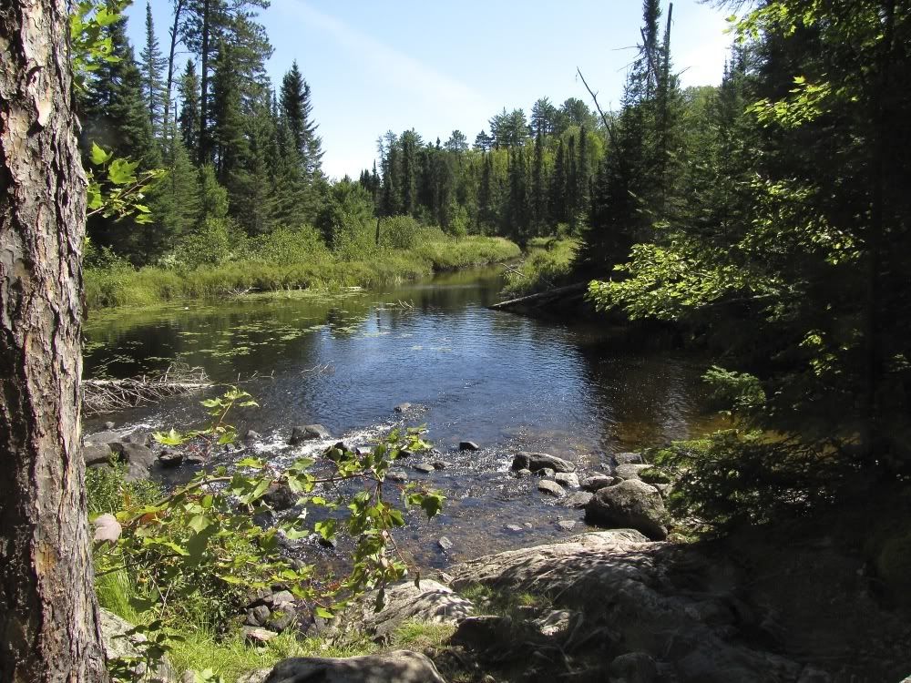
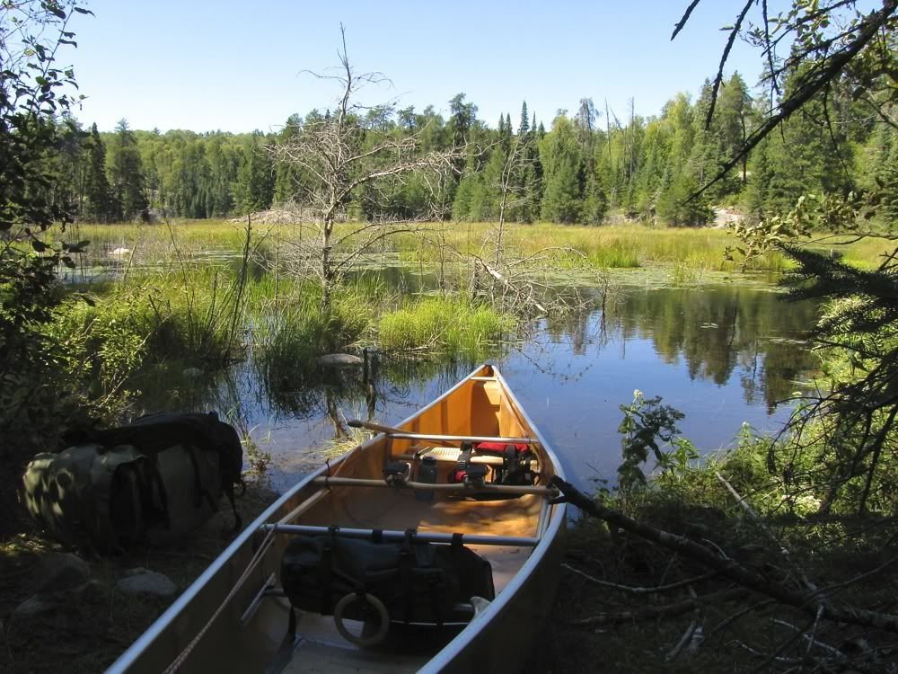
When I had paddled up Isabella Creek on a "two solos" trip with our friend Jon "Banksiana" in late May, the high water made it a tough slog going against the current. We figured it would be easier with the moderate water levels of late August. Not so. It seems that a couple of beaver dams had been breached, so the water was both flowing and very shallow - hard work going upstream on a meandering marsh creek. Especially when you have a puppy who wants to investigate all those smells a foot from the canoe on shore. But after more work than we expected on this stretch, we got to the portage to Isabella Lake. Looking back at the creek from the portage -
As I mentioned, 8-month-old Piwi was good but far from perfect obeying voice commands back in August. So at the end of the our second carry across this portage, she decided to wander down the shore of Isabella Lake, and she took her sweet time heeding our calls for her to come back to load up in the canoe. It was just a couple minutes wandering, but it was not ideal. This winter we are working more on her training, and I feel a lot more confident that she will stick by our sides on portages next summer.
Once we got Piwi back in the canoe, we paddled the length of long and narrow Isabella Lake. It's a beautiful lake, and this is another time I wish we had pulled out the camera, even though we had passed through several times before.
At the far end of Isabella, we crossed the short but rugged portage to the first of several Unnamed Lakes in this stretch. It was after 12:30 by the time we completed the carry, so we stopped for lunch at the bare-bones campsite at the Unnamed Lake end of the portage.
At this point we had a choice of routes to get to Side Lake. It's hard to describe the alternative routes, however, because all the lakes on the way are Unnamed. ("Did you go through Unnamed Lake?" "No, we decided to take the route through Unnamed Lake instead.")
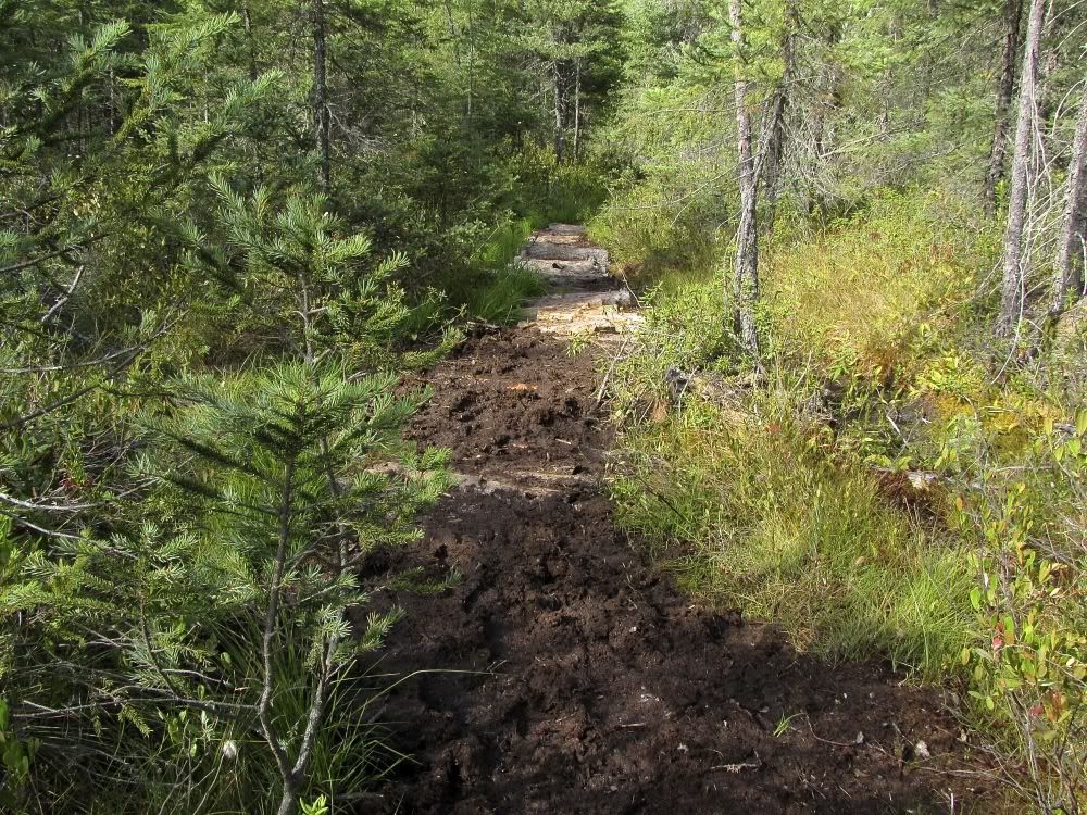
Suffice to say, we decided to mix things up by taking the Unnamed Lake route we had not taken in the past. Right from the get-go, however, it seemed like it might not necessarily be the easier alternative, as we paddled up a mucky marshy channel to our first portage, with two beaver dam pullovers on the way. Looking back from the portage -
With the pup at the landing (eating grass, which she likes almost as much as sticks) -
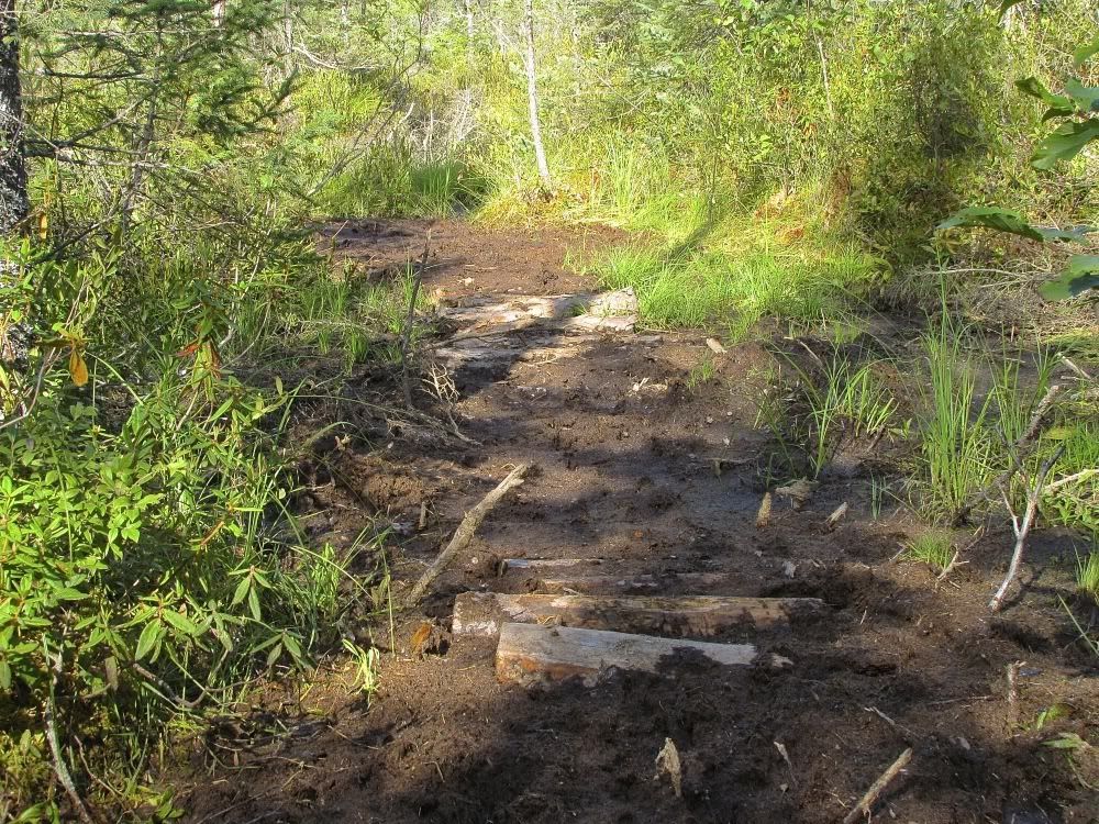
This portage was seldom-used but not too difficult. Based on the lack of trampling, I'd say fewer people go this way than the other Unnamed Lakes route. That's a good thing, right?
The portage ends at more marsh - really just a beaver pond appurtenant to our next Unnamed Lake -
We found our way through the shallow muck of the beaver pond and pulled the canoe over the critter's dam, which was cleverly built in a cool rock-bound narrows leading to - what else? - Unnamed Lake -
From here it was a short paddle to the north end of Unnamed and the final, longish portage into Side Lake. We easily found the portage landing and unloaded our gear. Then I started down the portage path with the canoe on my shoulders and Piwi by my side.
Five or ten yards later, the path ended in another beaver pond. A new one that was not on the map. The portage was flooded. And it was not clear which way the path continued under the pond. David and I powwowed and decided to load up the canoe and paddle straight ahead through the beaver pond in hopes of finding the continuation of the portage path at the other end.
But after paddling a hundred yards or so, we ended up in this - 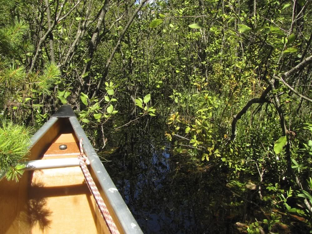
We were about to back up (turning the canoe around was impossible in this alder thicket), when David suggested looking for the portage path a bit to the left (west) of where we were lodged. We maneuvered the canoe in that direction and waded through the murky water to shore. Sure enough, there was the path paralleling the pond on shore. Woo hoo!
We unloaded our gear at the makeshift landing. From there the rest of the portage to Side Lake was pretty easy. The alternate route from the other Unnamed Lake joined the portage we were on right before Side. That route has its own travails. But with the flooded portage and other marshy stretches, I'd say the route we took this time was the more difficult one. That’s a good thing, right?
(By the way, if you are interested in even more gory details about the two alternative routes between Isabella and Side, check out my post from right after the trip towards the bottom of this thread:).
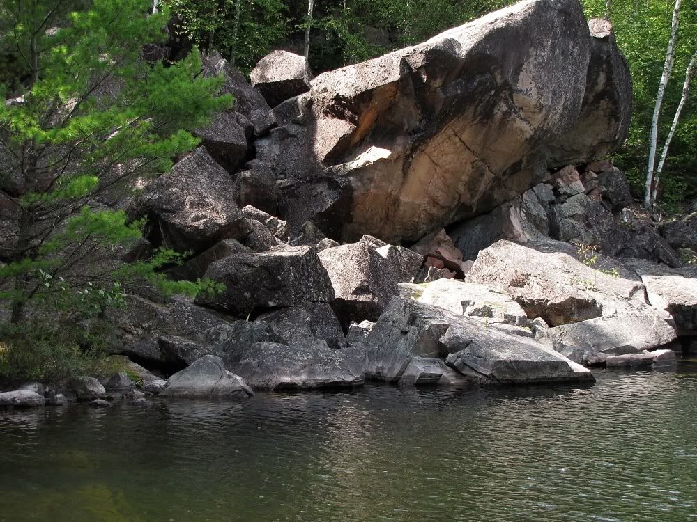
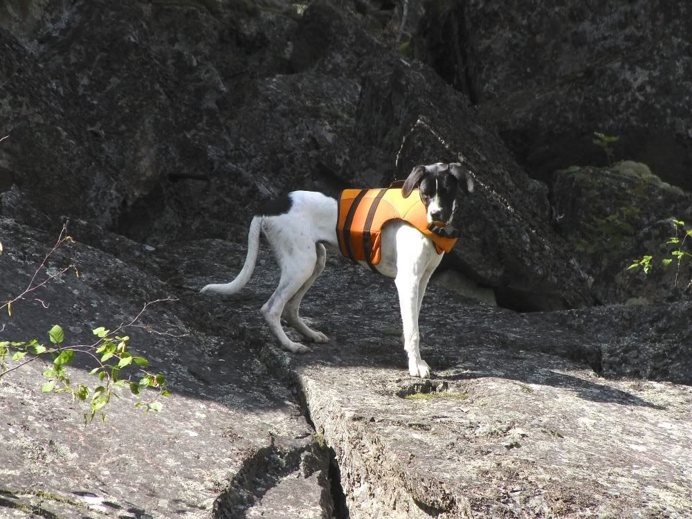
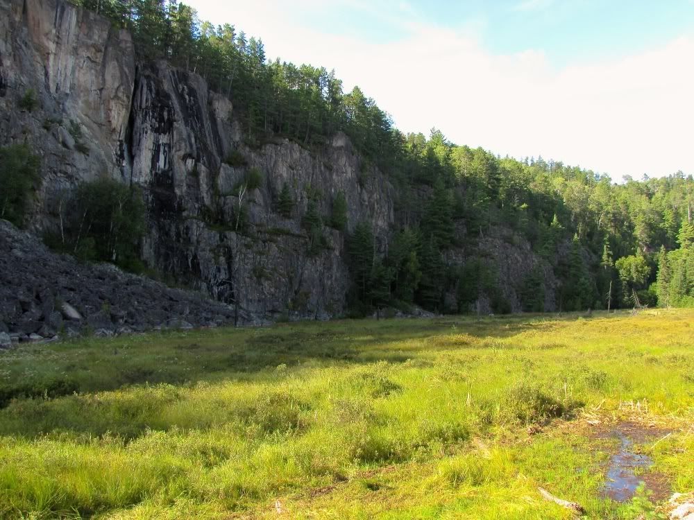
Anyway, we made it to Side Lake. There is an amazing rock formation across from the portage at the south end of the lake (regardless of which Unnamed Lake route you take to get there) -
Piwi did a little exploring up there -
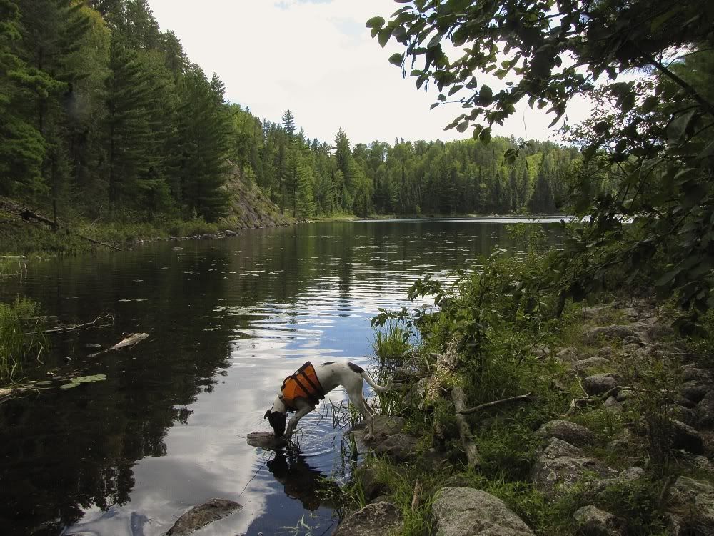
After luring Piwi back from the rock temple and into the canoe, we paddled north on Side Lake. About two thirds of the way up the lake, we passed the portage(s) to Sarah Lake. Our past trips via Side Lake had always been to or from Sarah. But now we were going to continue north on Side toward Kahshahpiwi. While we had been to 'Piwi a number of times before, David and I had never taken this route there.
At the north end of Side we arrived at the first to our two remaining portages to Kahshahpiwi. At the portage landing -
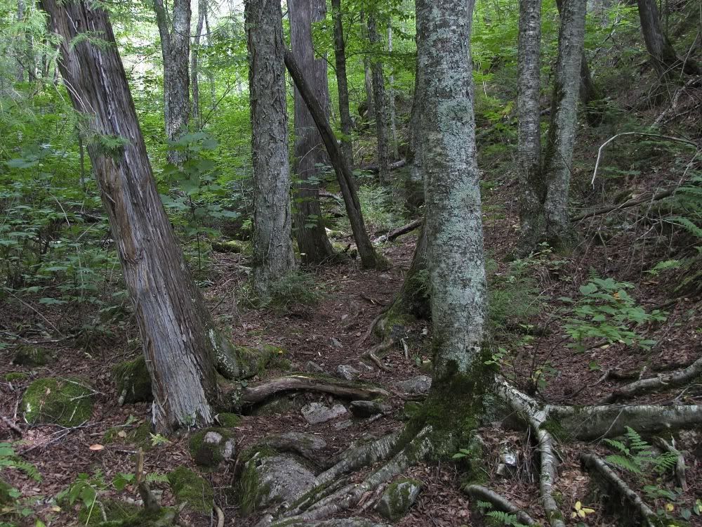
This path wends through a cedar glen -
The portage led us to (you guessed it) Unnamed Lake -
This Unnamed Lake is particularly beautiful. It's long and narrow with cliffs along the west side. Unfortunately, the light was not good for taking pictures as we paddled through. Besides, we were getting a little tired. And we still had one more long portage to go. But I'd like to come back sometime and stay on this lake. The camping opportunities looked pretty limited. But it would still be worth it.
For now we soldiered on to Kahshahpiwi. One more portage stood between us and the puppy's namesake lake. And it was a good one.
This portage begins at the north end of Unnamed on a nice, solid, rocky outcrop. But just on the other side of this outcrop, the portage turns to bog. It didn't use to be this way. That bog was formerly a beaver pond that you could paddle across to the start of the real portage with solid footing to Kahshahpiwi. Compared to the other routes to Piwi, this one was reputedly fairly easy, and I think most groups went this way.
Then, a few years ago, the beaver dam blew out. Instead of a pond that you could paddle across, there was a sea of mud, with impassible cliffs or rock tumbles on the sides. But now, I had been informed, the park had "built" a new route across the bog. The old easy route was easy once more. Let's see if that's right.
Here's the view from the rocky outcrop at the southern end of the portage where we started. Former beaver pond ahead -
Hey, look, there's fancy corduroy providing good footing across the bog-née-beaver-pond -
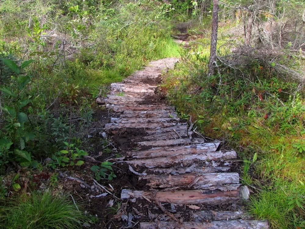
Uh oh. Some of that nice corduroy is disappearing in the bog. You could lose your boot in here too if you weren't careful -
I think this might be similar to what happens when the permafrost melts in Alaska. Piwi does not like to get her feet muddy (probably a wise evolutionary adaptation of wolf ancestors who could be slowed down on the hunt by sinking into mud), so she detoured through the grass here -
Okay, the path through the bog was not as comfy as advertised, but I never sank in any deeper than my ankles, and the payoff was great scenery. I think these are some of the best cliffs in Quetico, stretching from Unnamed Lake to Kahshahpiwi -
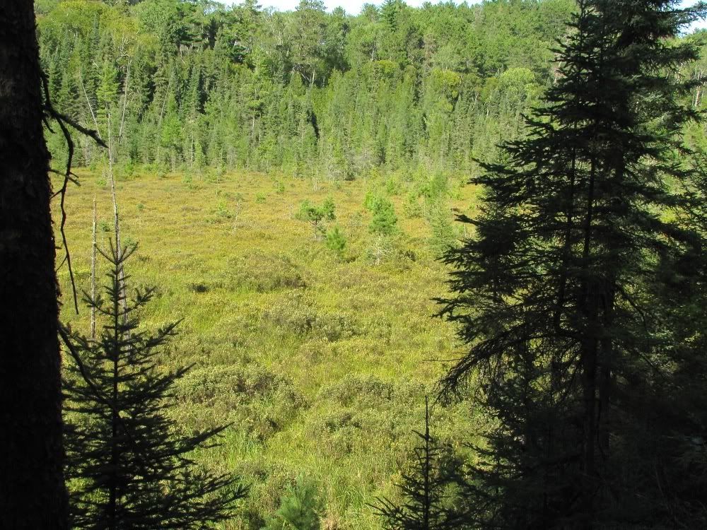
The bog itself is pretty -
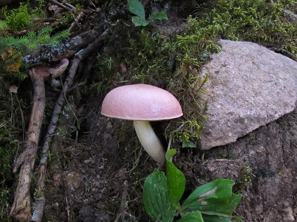
And who can argue with a pink mushroom growing out of a rock? -
After a couple hundred rods, we left the bog behind and climbed through nicely forested woods to join the original portage from the ex-beaver pond to Kahshahpiwi. This was a very nice path through lovely woods. Of course we did not pause to take any pictures.
Finally, after almost a mile (the old portage was just over a half mile), we arrived at Kahshahpiwi Lake. This isn't a very good picture, but we needed to document Piwi arriving at her namesake lake the first time -
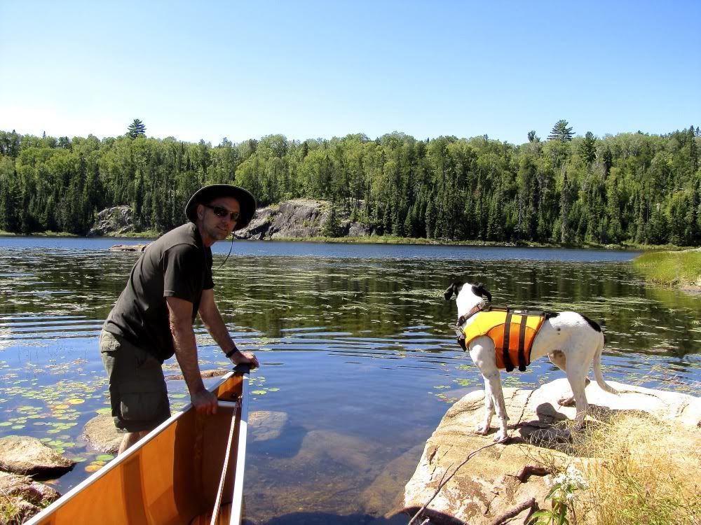
We still had to cross the portage back and again for our second load of gear. Then we were ready to launch out on Piwi Lake. But first we had to get Piwi dog into the canoe. It was a rugged rocky shore, and although Piwi is an acrobat springing through brushy woods, and likes the water too, she does not like to get her feet wet jumping into the canoe. It's an altogether troubling situation for her. So we had to call and coax her to "load up" from her rock perch a few feet from the canoe. Finally she decided to go for it - and jumped straight into my solar plexus. We both got a fitting baptism in Kahshahpiwi. The late afternoon was cool, but dry, and my soaking clothes were not soaking for long.
By now we had been traveling for more than seven hours, and it was time to camp. There are picto cliffs at the south end of Kahshahpiwi, but we decided to pass them by this evening and come back in the morning. Our friend Jon Banksiana had recommended a campsite a mile or two up the lake. But on the way we passed another site on a small island, thought it looked good, and were ready to stop.
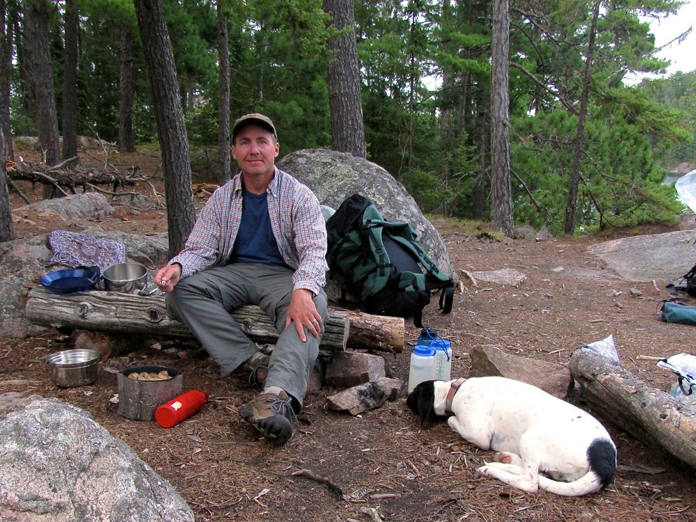
It was 5:30 when we pulled over, and man were we all tired. We set up camp, went for a swim, and made dinner. Our menu called for Zup's brats cooked over a fire. But we didn't have the energy to make the fire, so I cooked them on the stove. In a rare occurrence, Piwi was even more exhausted than we were -
After dinner, the puppy snoozed between us as we enjoyed a wee sip of Maker's Mark. Then it was time to pile in the tent and sleep the deep sleep of voyageurs in the northwoods.
Total distance traveled today: 13.5 miles (including all trips across portages).
 Donate - BWCA.com