Pictorial Trip Report - Spartans and Helots
by Ho Ho

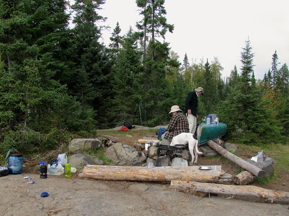
Lynda got up around dawn, - so naturally Piwi decided we had to get up too. It was a cool and mostly cloudy morning. We lazed around drinking coffee followed by breakfast. Piwi "helped" the Spartans with cooking and cleanup -
After our longish travel day yesterday, Lynda and Neil planned to stay put today, in hope that the twin points campsite across the bay would open up for them. David and I also planned to remain here another night, because we wanted to explore Cherokee a bit. Our friend Heather aka Wilderness Mama was doing a Cherokee campsite evaluation article for the Boundary Waters Journal, but when she and Wilderness Papa were on Cherokee a few weeks earlier, she was unable to find two of the numerous campsites on the lake for her evaluation. So when Heather found out we were going to Cherokee, she asked if we would search out the two missing campsites and gather the needed information for her. That sounded like a fun excuse to explore, so of course we said we would do it.
As we had already whiled away much of the morning, we decided to break our exploration into two parts. Before lunch we would go try to find the first site for Heather's evaluation, which was somewhere nearby. Then we would come back to camp for lunch and coffee, before heading out for the more distant evaluation site and some portage hiking.
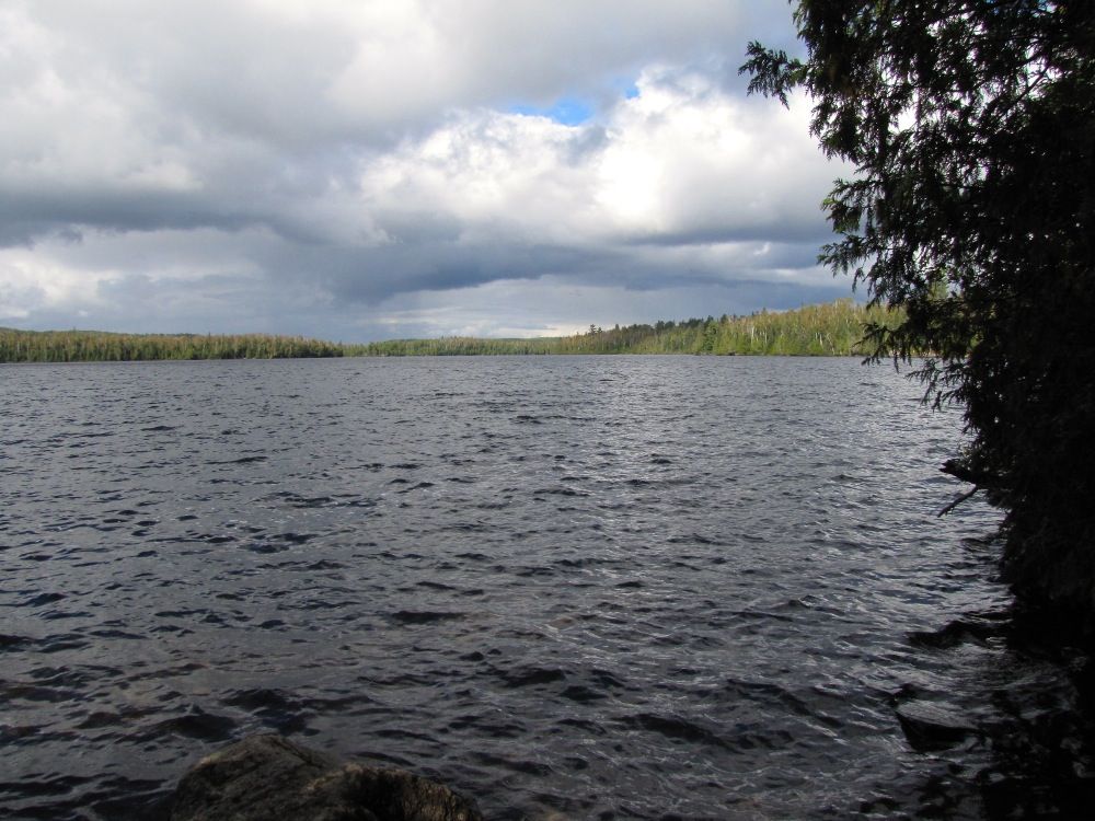
From our own campsite, it looked like the Twin Points site might have been vacated during the morning, so we also paddled past it on the way to our first evaluation campsite. If the site was available, we would signal back to the Spartans so they could begin moving their gear over there. Alas, when we got right up to the site, we could see a food pack hung up in the woods. It seemed the crew that was camped there had just gone out on a day trip.
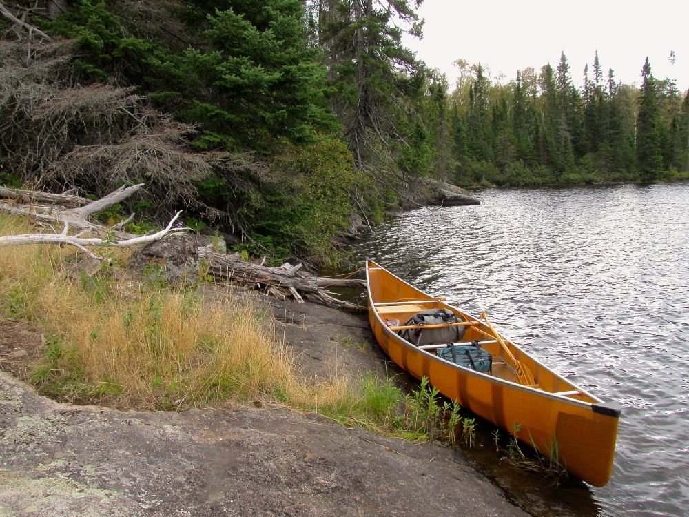
Next we searched for the site for Heather's evaluation. She had been using a somewhat older map and thought that's why she couldn't find it. But we also couldn't find it at the two different spots marked on our newer Fisher map or the very new Voyageur map. Undeterred, we kept searching the shoreline of the back fingers of the south bay of Cherokee until we found a rocky spot that looked like it had seen some trampling through the years. We tied off the canoe to investigate -
Yep, this was the site. Although it looked very rarely used. Maybe because it is marked wrong on all the maps. And also because it's not one of the best campsites we've seen. We took pictures and some video clips for Heather to use in writing up her article. I also made a GPS waymark to the pinpoint the location, which is shown on the map above as "Site Eval 1." (Unfortunately, I neglected to make a GPS track of our paddling routes for this day.) Although it's not the greatest site, it's probably worth keeping in mind as a backup if you are ever looking for a place to camp at the south end of Cherokee and everything else is full.
It started raining in earnest while we were reconnoitering the campsite, and even though the rain stopped on our paddle back to our own site, the weather did not look too promising. So when we got back to camp we set up our rain tarp -

Piwi closeup -
This was a good decision, because every time some blue sky blew over us, it was quickly followed by threatening clouds, a cool breeze, and sometimes more light rain -

Coffee after lunch helped to keep us warm. But it still got chilly sitting around the campsite. The best cure for that is being active, so eventually we got our afternoon reconnaissance mission underway.
In addition to checking out the second campsite Heather had missed, we wanted to do some portage hiking. Neil sent us in the direction of the portage to Sitka Lake, which was part of an overnight loop through the Temperance Lakes that David and I could take tomorrow and the next day if we wanted. This portage begins at a steep spot on the Cherokee shoreline - but there are stone steps that ease the initial climb from the landing (an amenity that we are unaccustomed to from our Quetico trips) -

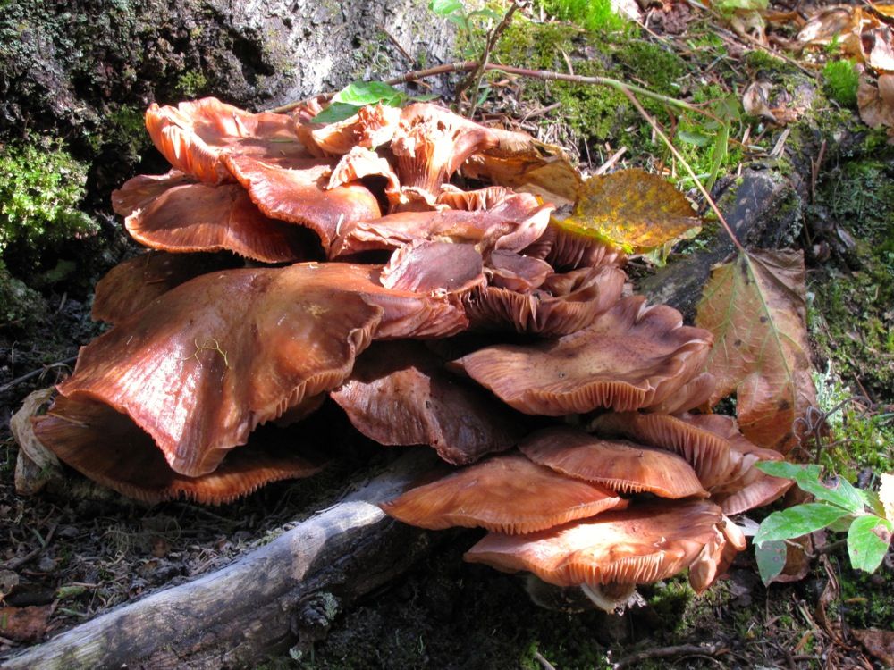
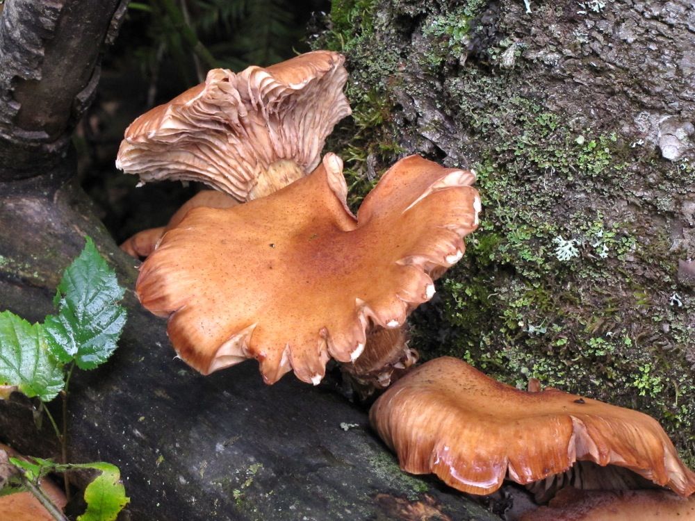
We stashed the canoe and went for our portage hike. All three of us enjoyed stretching our legs along the scenic trail. Judging from the pictures we took, fungi in various earthtones appeared to be the highlight.
Type 1 -
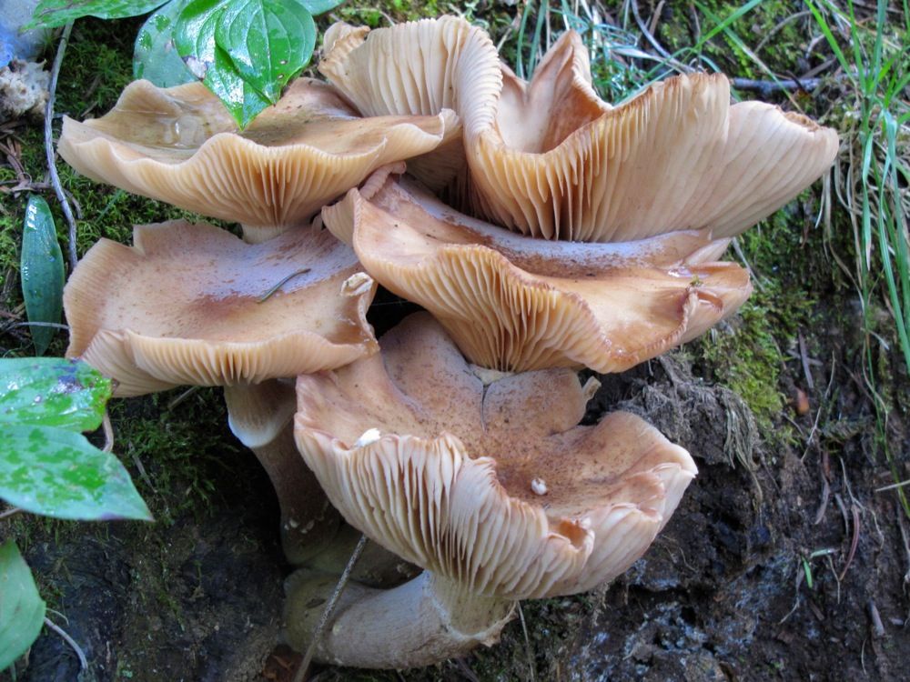
Type 2 -
Type 3 -

Type 4 -
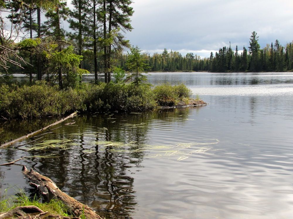
By and by we arrived at pretty Sitka Lake. It's a smaller lake and much of the shoreline was low-lying and sprucey -
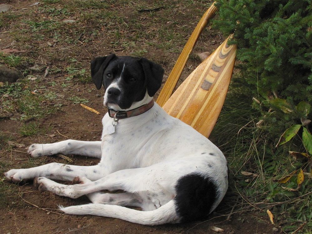
Piwi exploring -
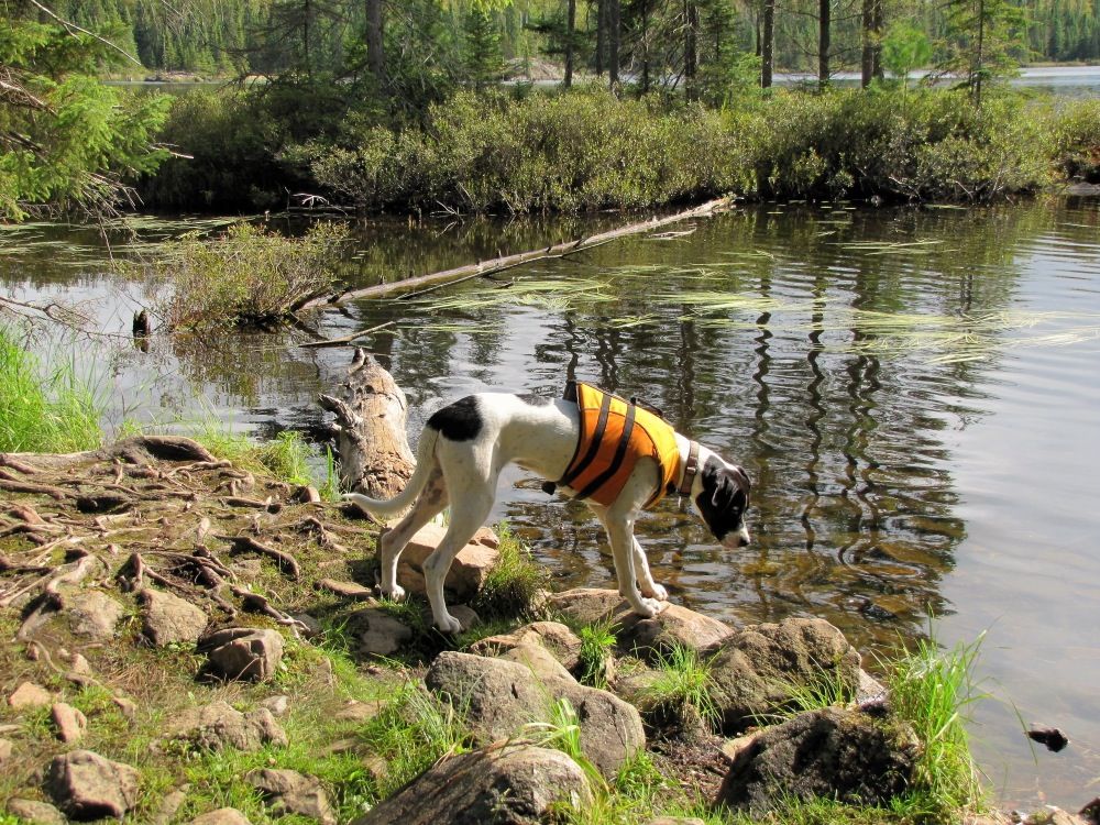
"I'm one good-looking dog!" -

While we were hanging out there we noticed a canoe coming from the direction of the portage from North Temperance. We thought our portage was the only other route out of Sitka and the canoe would therefore head our way. But instead it went toward the south tip of the lake, where little Sitka Creek flows out. That made us wonder if the you could paddle Sitka Creek from Sitka Lake to Cherokee Creek. Does anyone know?
After lingering a bit longer we retraced our steps back to Cherokee Lake. This is the view out over Cherokee from the (comparatively sheltered) portage landing -
From there we paddled up to the second campsite Heather had missed. She had told us she thought it might be behind or next to a small beach, and as we approached the area, there was a narrow strip of sand there (although the sand would be submerged with slightly higher water levels). We landed to investigate -

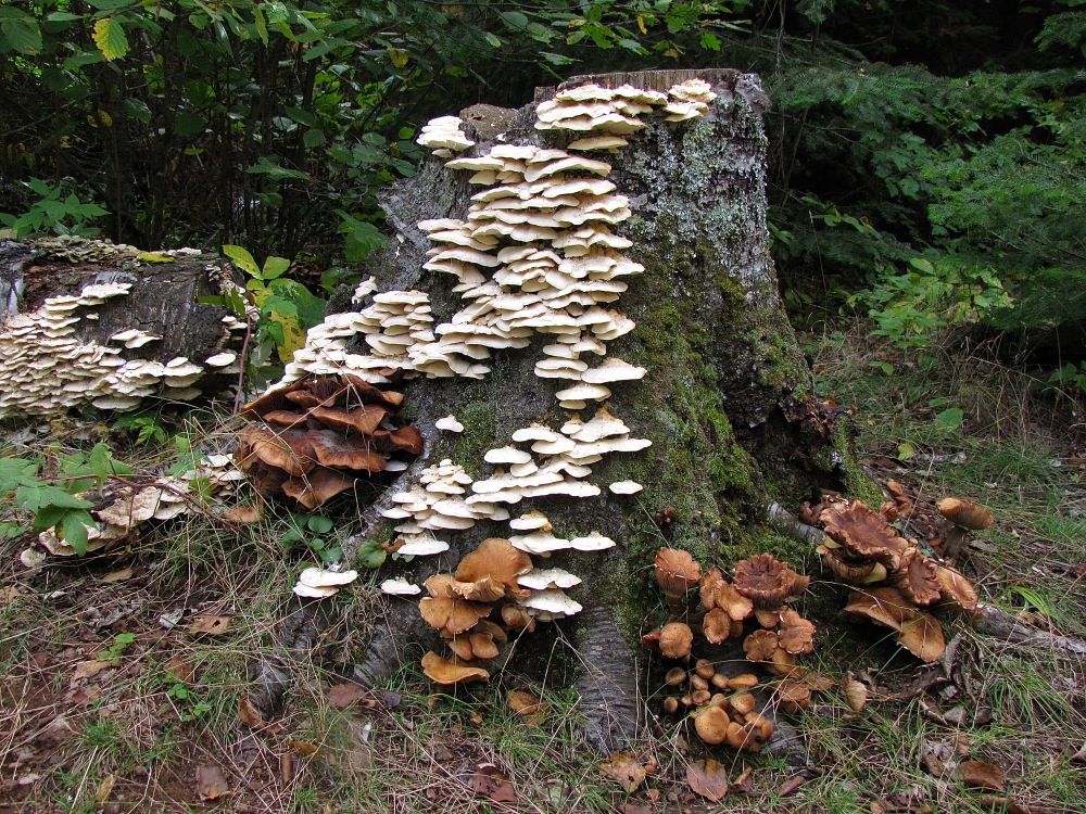
We found the campsite a little ways back in the woods from the south end of the strip of sand. This site was a bit nicer than the other one, but still nothing to write home about. We documented it's features with photos and video for Heather and took a GPS waymark ("Site Eval 2" on the map above). We thought this fungally ornamented stump next to the main tent clearing was kind of cool -
Once we finished our documentation, we paddled back across Cherokee and down its western shore, exploring some back bays along the way.
Back at camp, our tarp came in handy at dinner time when it decided to rain (as it had on and off during our afternoon excursion). The Spartans made some extra dessert which they shared with us and was very tasty. We never have dessert except a few cookies on our trips, so shared desserts were a special treat this trip.
The rain mostly let up after dinner, with maybe a light mist from time to time. Neil stoked up his campfire, and we all enjoyed some camaraderie enlivened by healthy servings of Maker's Mark. The fire and firewater conspired to warm us against the elements on this autumnal evening.
Talk turned to our plans for the next couple days. David and I wanted to go for an overnight excursion somewhere. If the Spartans opted to stay on Cherokee the next couple days, then we thought we would explore the Temperance loop Neil had suggested. But Lynda had also mentioned that they might like to go up to Frost Lake for a night. If so, then we would happily go there instead, especially since the Spartans could use help over the long portage into Frost. David and I were completely flexible, so we left it up to them, and particularly Lynda, who would sleep on it overnight.
We turned in well after it got dark, happy for the shelter of our tents on this cold, damp, blustery September night.
 Donate - BWCA.com