EP16 to Lac La Croix West to East Loop
by tnthekids
Ge-be-on-e-quet Lake – Ge-be-on-e-quet Creek – Pocket Creek – Lac La Croix – Tiger Bay/LLC Paddled 10 miles – Portaged 60 rods
It was a long night last night as we dealt with the endless mosquitoes. We talked about alternate route plans as this was wearing on my canoe buddies greatly. We made some tentative decisions and aimed to get up at about 4:30 am to get on the water early but hearing the rain when we woke up, we all rolled over and did not move until about 5:00. We were still on the water by 6 am, in the rain, with some minor head winds. Our first portage was just around the bend.
We landed at the 35 rod portage and were immediately covered in mosquitoes again. The beginning of the trail was so narrow that we had to 2-person the canoe until the trail widened to allow portaging it properly. The rest of the portage was wet and rocky but not a bad trail.
Once on Ge-be Creek we grabbed our breakfast bars and began to paddle. Definite benefit to a 3-person canoe here; we can eat and paddle and still be moving forward! The creek was quiet except for two ducks and a zillion mosquitoes. Just before the end of Ge-be Creek is a beaver dam that required a lift over before continuing to Pocket Creek.
Pocket Creek was another quiet paddle to the 25 rod final portage of the day. This portage is rocky but flat with not the best landing on the LLC side. At 7:30 am we were on LLC! Now to test our navigation skills.
We are a great team! The wind is minor and constantly changing directions. We made a snack break party way to Fish Stake Narrows and continued onward. (We found out when we returned that one of the sites we used as a navigation point turned out to be our outfitter who was guiding a trip at the same time!). We began to see boats almost immediately but fortunately they were in the distance.
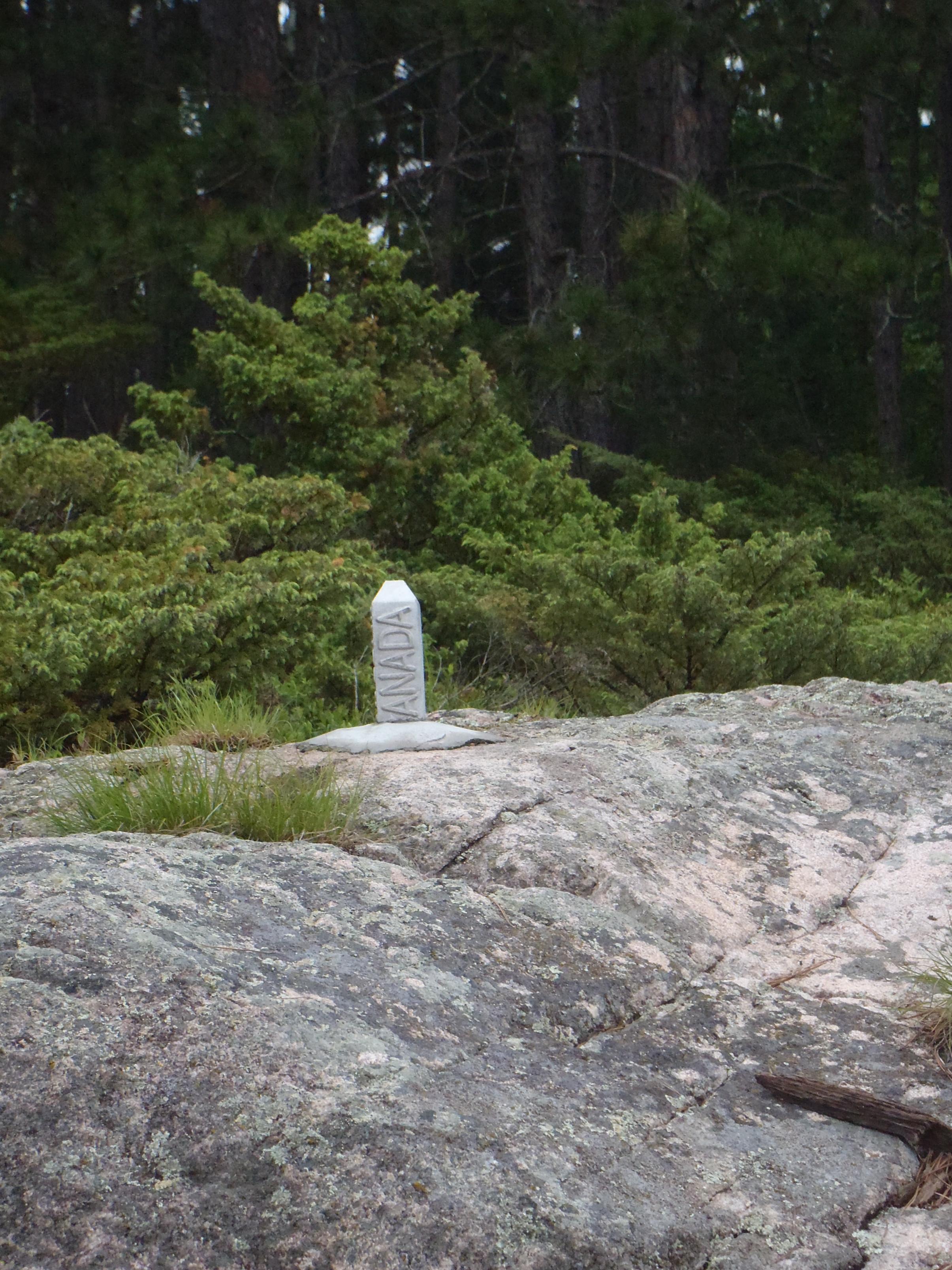
On our way to the pictographs, the girls spotted a “gray object” on a rock – photo op! It was a Canadian marker just before the pictographs. Neither of them had ever seen one.
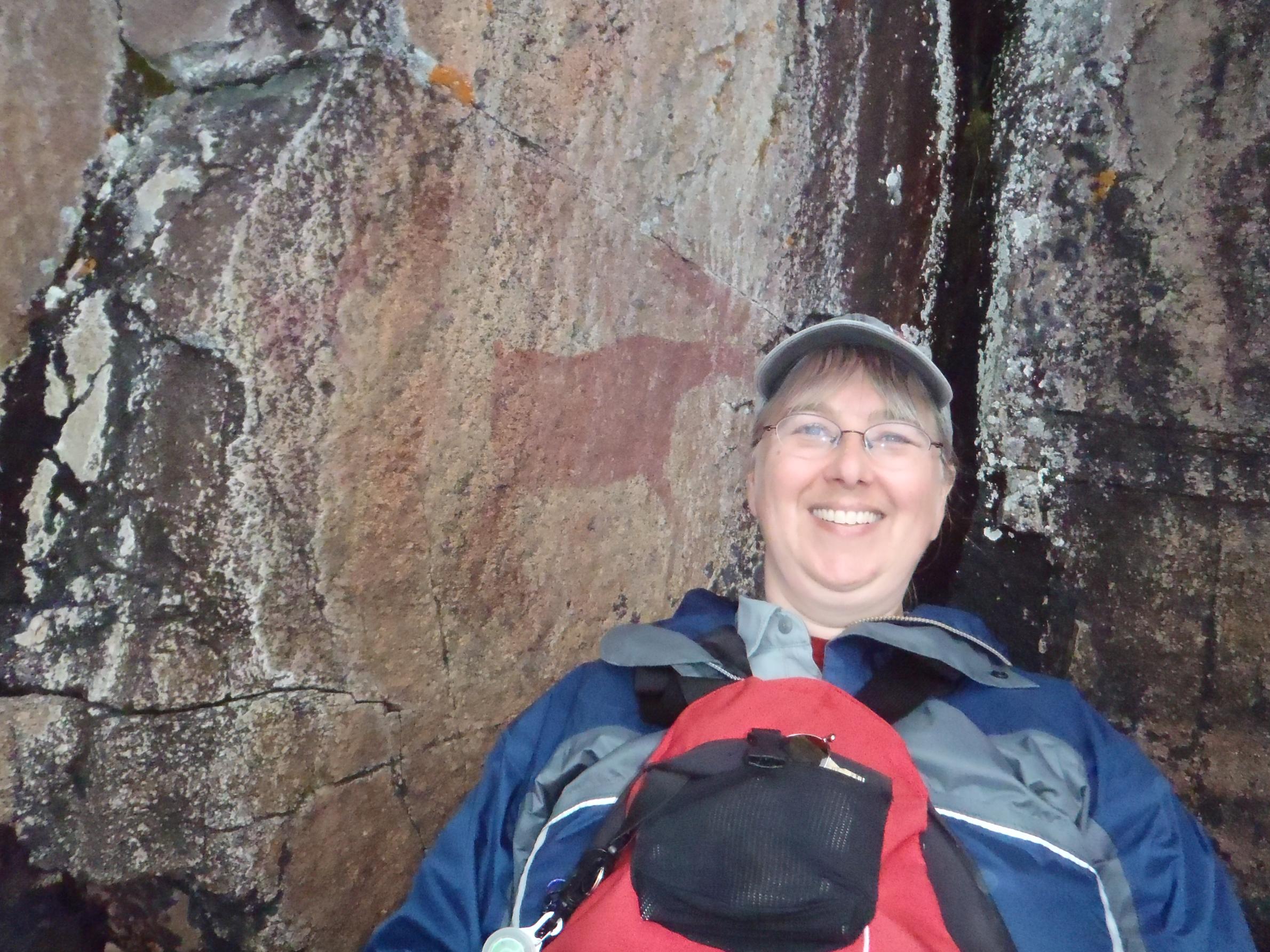
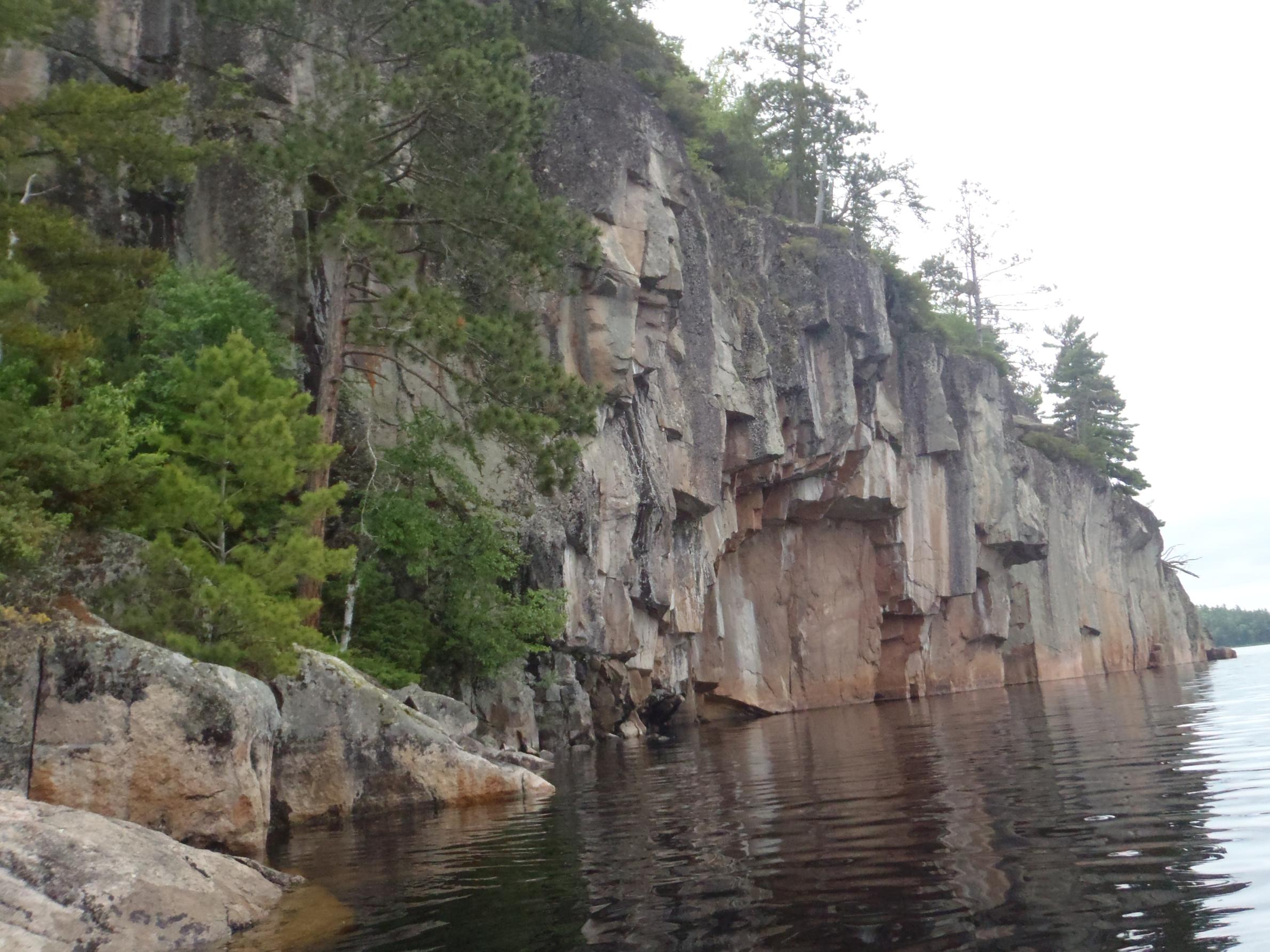
This lake is so pretty! The cliffs where the pictographs are located is very easy to find and is just amazing. We spent quite a bit of time admiring not only the pictographs but also the rock itself. I will only post a few pictures of the pictographs here so I don’t spoil it for anyone but this should definitely be on your trip list if you have not been here. WOW! As a side note… this is the only way I will probably ever see a moose in the BW!
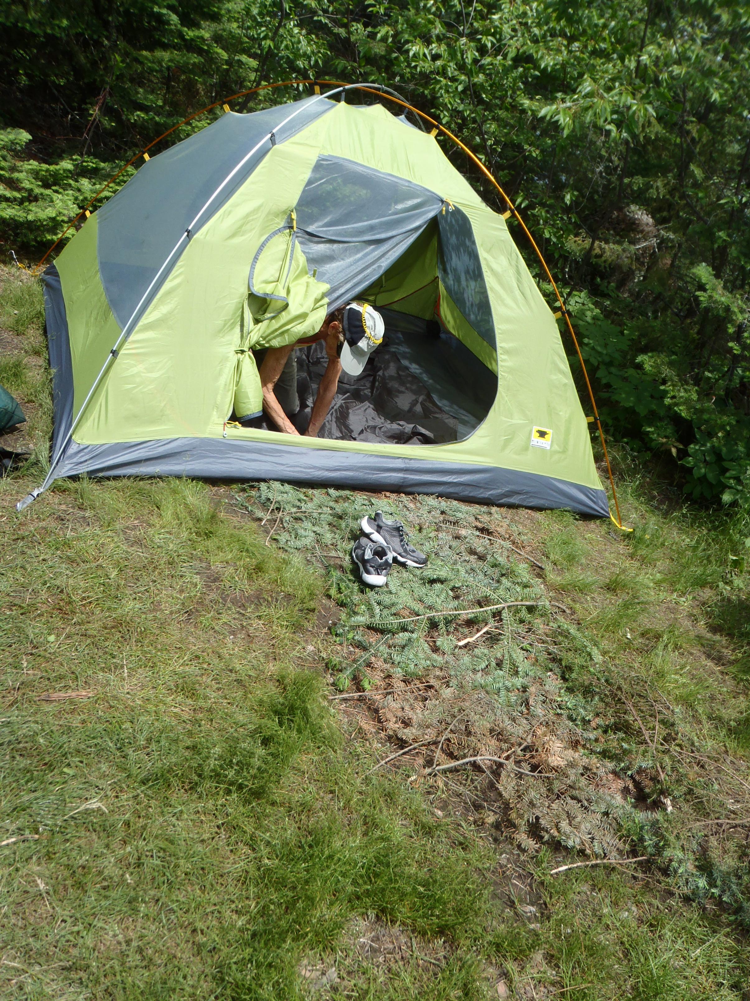
Since it was still early in the day we decided to continue paddling instead of stopping at our planned site. Next we passed Warrior Hill. I don’t think I would want to run up that “hill”. We found a site at Tiger Bay at 11:30 am for lunch and decided this would be home for the night. We ended up on the island just northwest of Tiger Bay with the campsite on the southern tip of the island.
Campsite #173 - I have posted a site review.


 Donate - BWCA.com