Detours & Low Water - Sept 2006 in the Quetico
by VoyageurNorth
Day 5 - That morning we woke to a beautiful blue sky. We jumped into the canoe and took off. We had another three miles to cross Kasakokwog and we checked out a couple campsites along the way.
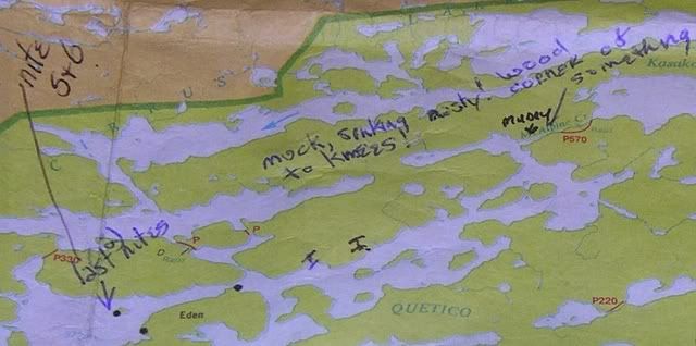
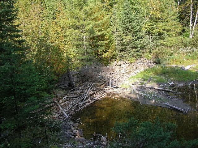
Back in the southwest corner of the lake is a 75 rod portage which was very rocky. We were able to paddle down the creek a ways before we had to portage. There were about three beaver dams we had to either go over or walk around. 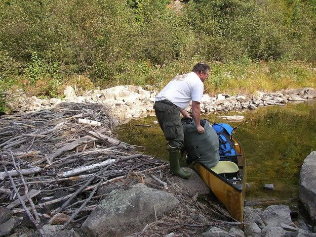
 The last quarter mile was low water & very mucky and we sank to our knees in mud.
 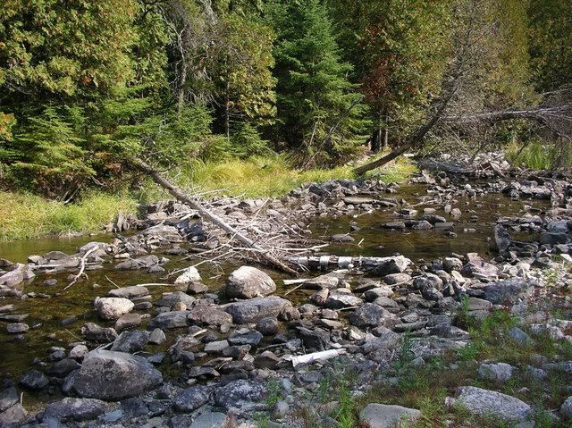 We were very happy to finally spot Quetico Lake.
The wind started to pick up from the southwest, right in our faces. This wind forced some smoke and ash toward us from a fire in Quetico Lake. 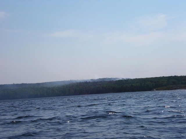
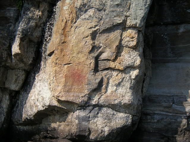
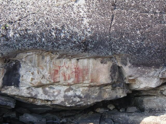
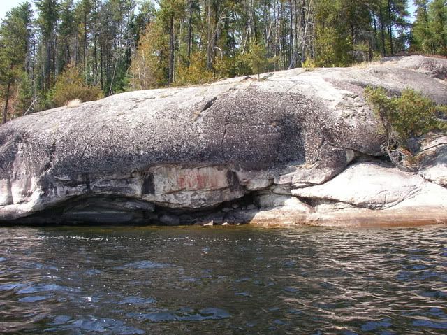
We made our way through some islands and were able to use them for a shield. Finally the wind calmed a bit and we were able to explore the rugged, rocky northern shoreline. In Quetico Lake there are at least four displays of Indian pictographs, all relatively easy to spot since they are at the base of steep cliffs. The easternmost set is exceptionally good and is nearly hidden under a low rock overhang. This one has many figures; a moose, a canoe, three people, a caribou and several abstract drawings.
 Donate - BWCA.com