Perent River portaging
by TuscaroraBorealis
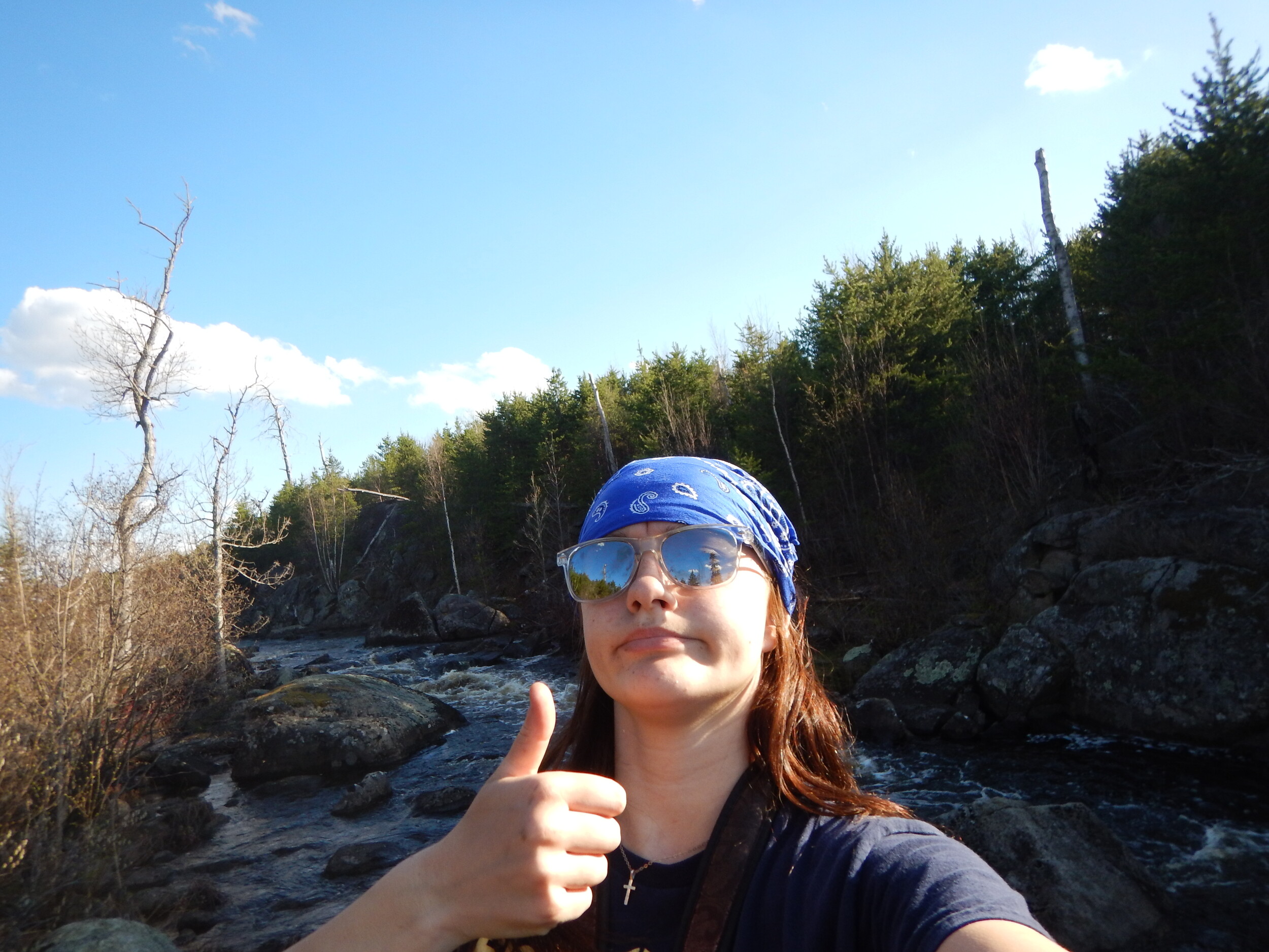
It’s slightly chilly early this morning but, the clouds have moved off, and the sky is bright baby blue so things should warm up quickly. Ova-Easy scrambled eggs and asiago bagels for breakfast. After, I occupy myself loading Aurora’s pack with our rain gear, 1st aid kit, some finger foods and all our water bottles –filling them to capacity for our extended daytrip up the Perent River. Our game plan today is to just keep plugging away at all the portages and then take our time on the way back to fish and explore the area more thoroughly.
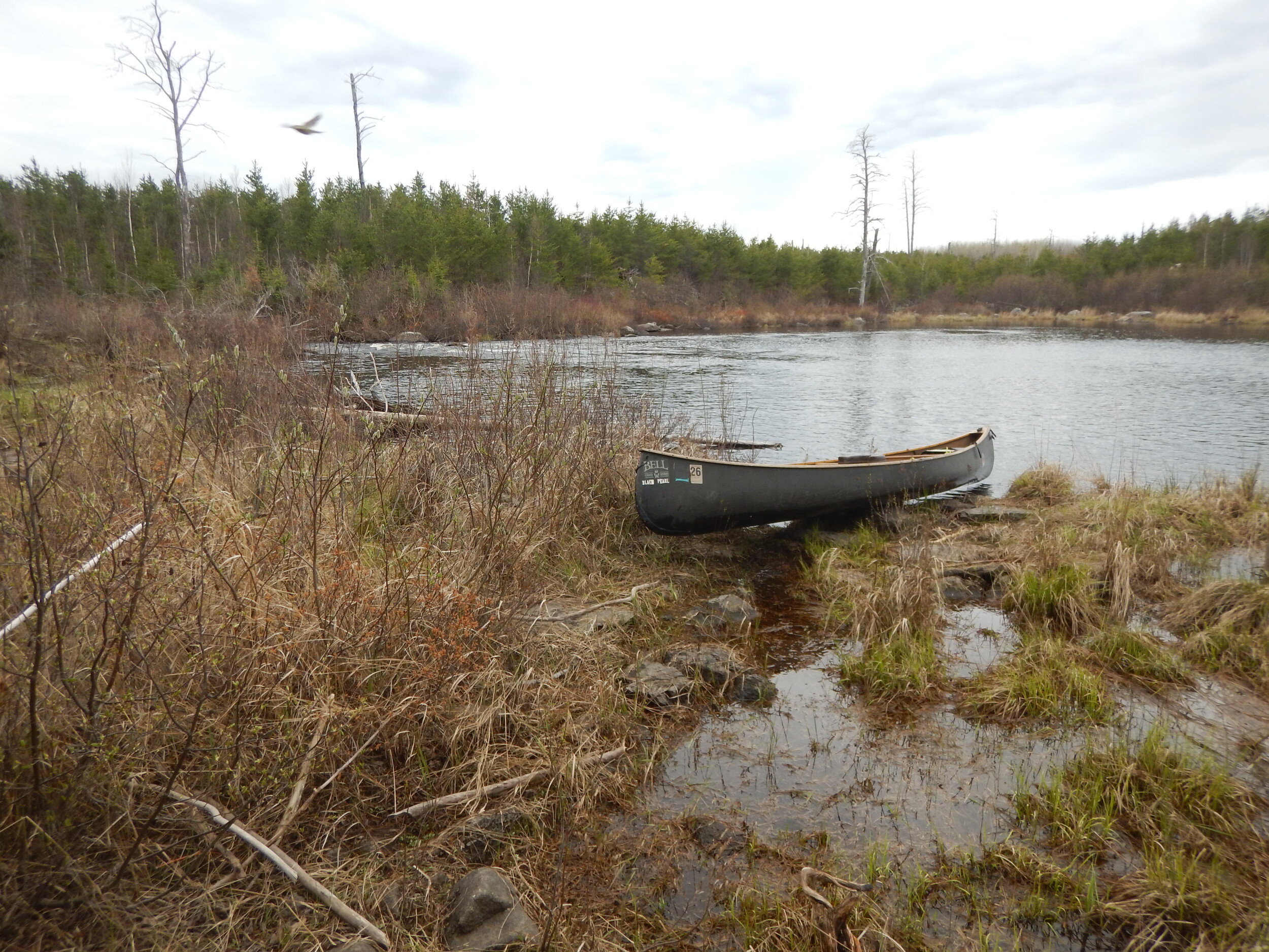
There is a spur trail leading from our camp to the portage through the gorge and, having checked it out already yesterday, Aurora gives me a pithy rundown as we paddle the Black Pearl over to the accommodating landing. Mercifully, there is just enough terra-firma that the trail runs right along the bank of the water for most of its length. Otherwise, it would be a very steep climb up either side of the river to get past this one. As it is, this is an exceedingly flat trail that clearly has been improved at some point (likely by residents of Forest Center back in the mid 1900’s) as the only bothersome aspect is that it is slightly brushy/overgrown. The upstream landing is almost as good as the downstream one. I don’t think a portage of this length could be much easier.
We soon encounter, even what those who may only look at a map will immediately realize, one of the obvious realities of the distinct character of the Perent River. There is not a lot of paddling between most of the portages. Our next portage is on the west side of the river and has a more difficult landing. The path is very flat, very grassy, and very brushy. Not much in the way of mature trees in the near vicinity, and the downstream landing is cumbersome with a sloping rock face on one side. This is one of the longest portages on the river at around (depending on map) 40 rods.
Some maps show a portage immediately after crossing this tiny ‘bay’ and starting where the river constricts down. While the current here was noticeable, we seen no portage landing/trail nor felt there would be a need for one here under present normal conditions as there were no nearby beaver dams that we ascertained that would dramatically change the flow of water through this narrow channel.
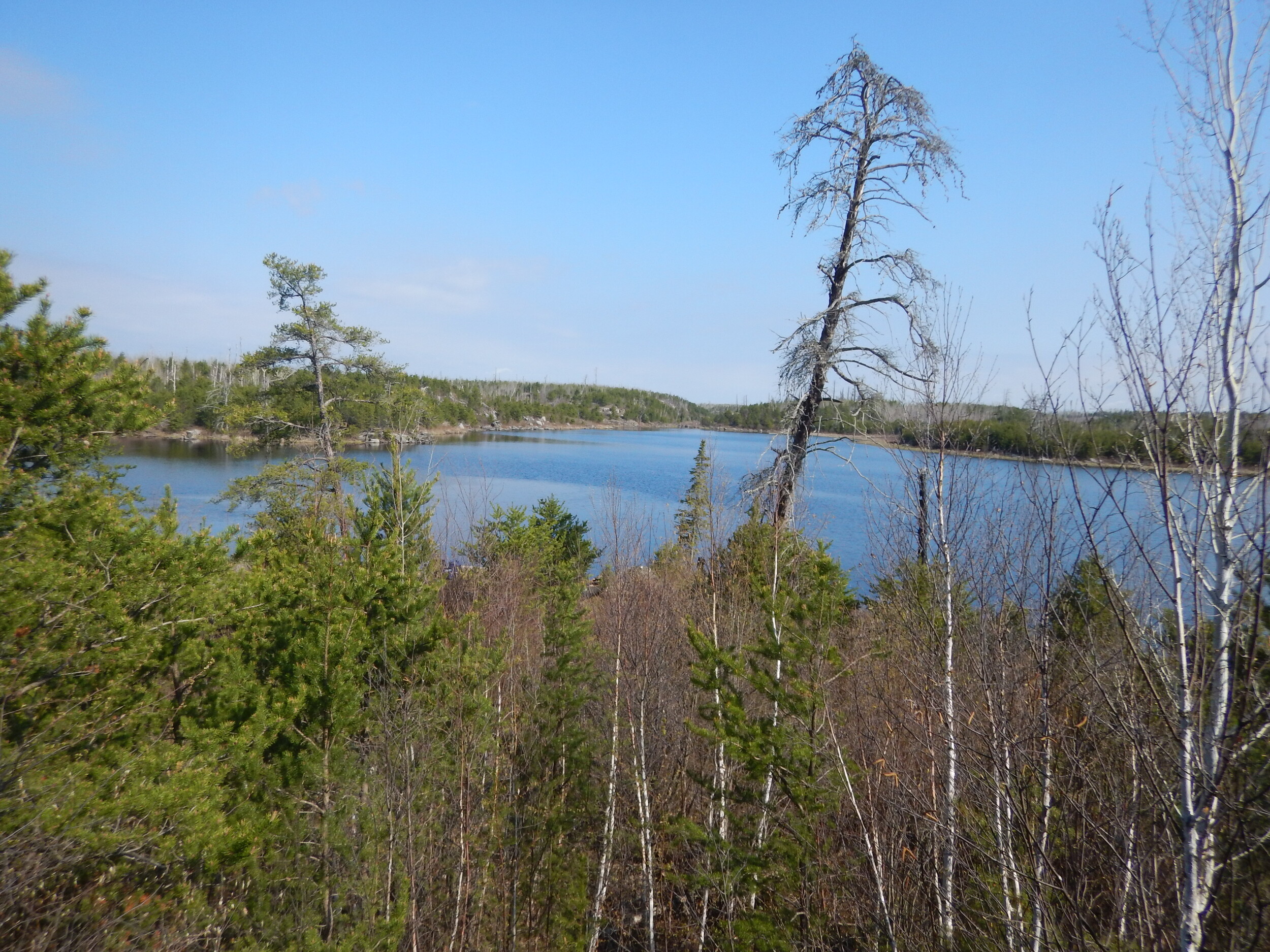
After navigating the channel, the river broadens into an almost lake like setting and the slight breeze is actually kicking up some small waves. There is supposed to be an old campsite in this vicinity, but we see no trace of where it may have been. We’ll investigate more on our way back through.
The rapids ahead indicate we will soon be portaging again. However, we have some difficulty locating the landing as we pull up to what appears to be a landing on the south side but quickly learn otherwise. We ferry across the washout flume to the north side which looks even less promising. I pull up to shore and tell Aurora to hop out and scout around. At the base of the rapids she hollers out, “There’s an old campsite here!” So, I locate a spot to pull off and get out too.
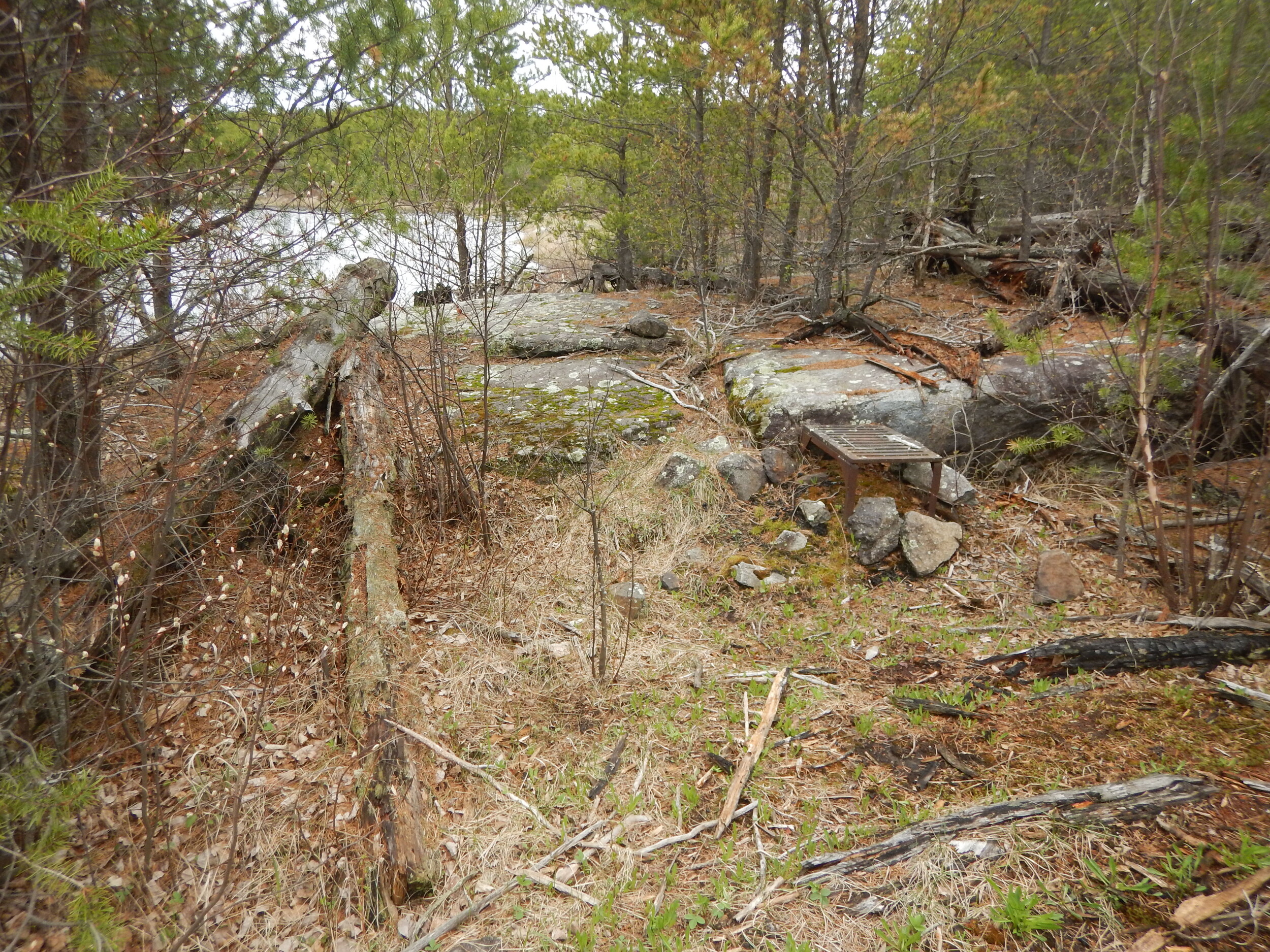
My Voyageur map indicates this site should be at the other end of the rapids but, indeed, there is an old fire grate (that’s still in pretty good shape) here, but the site has apparently been abandoned as most of the immediate area is overgrown. Of concern, is that there is no sign of anything nearby that remotely resembles a portage trail. We pull out some Clif bars and take a break as I try to look closer at my map to determine which side of the river the red portage line is on. It looks like this side....
I walk out of the woods back to the water's edge and tromp and high step through the hummocks and long grass on this (north) side of the river. About 40-50 yards from the spot where the rapids wash out, a clearly visible trail is seen heading up into the woods. Due to all the long grass/hummocks it was very difficult nigh impossible to spot from out on the water but here it is! I figure with all the trouble locating it that it’s going to be a beast of a portage. And while it is slightly more challenging than what we’ve encountered so far, it ends up being a gentle up an over on another excellent (though brushy) path with a beautiful grassy staging area on the upstream end. Once we’re across, I wonder out loud to Aurora, “That grassy area clearly has room for a couple of tents, and that’s where the map says the site was. I bet the campsite ran across the length of the rapids back in the day.” Of what we could see of them, these rapids were a bit pushier than the previous set. And we made note that while the landing was much more visible on this end, it was quite close to the top of the chute.
As we paddled away, for the first time, the forest began pulling back from the shoreline of the Perent River replaced by large expanses of swampy marsh. Even though the day was now upon us, we are hopeful to spot a moose in this stretch. While the moose seem to be hunkered down, we do come across an equally surprising sight. As we are approaching a small rapids/beaver dam, the unmistakable sound of a canoe paddle clanging off an aluminum gunwale reverberates across the open expanse. Seconds later a group of 8 men (4 canoes) come paddling around the bend. We exchange pleasantries as we watch them negotiate the tiny flume of rapids before we can pull the Black Pearl up through. I must admit, I did not expect to see anyone on this stretch.
At least when looking at the map, the section we are entering now could be the most confusing as there is another (Tomahawk???) creek coming in, and the river appears to turn back on itself near our next portage. Not to mention, the recent experience on the last portage hasn’t instilled me with a canoe full of confidence either. Happily, however, we have zero difficulty locating the sloping rock faced portage landing here.
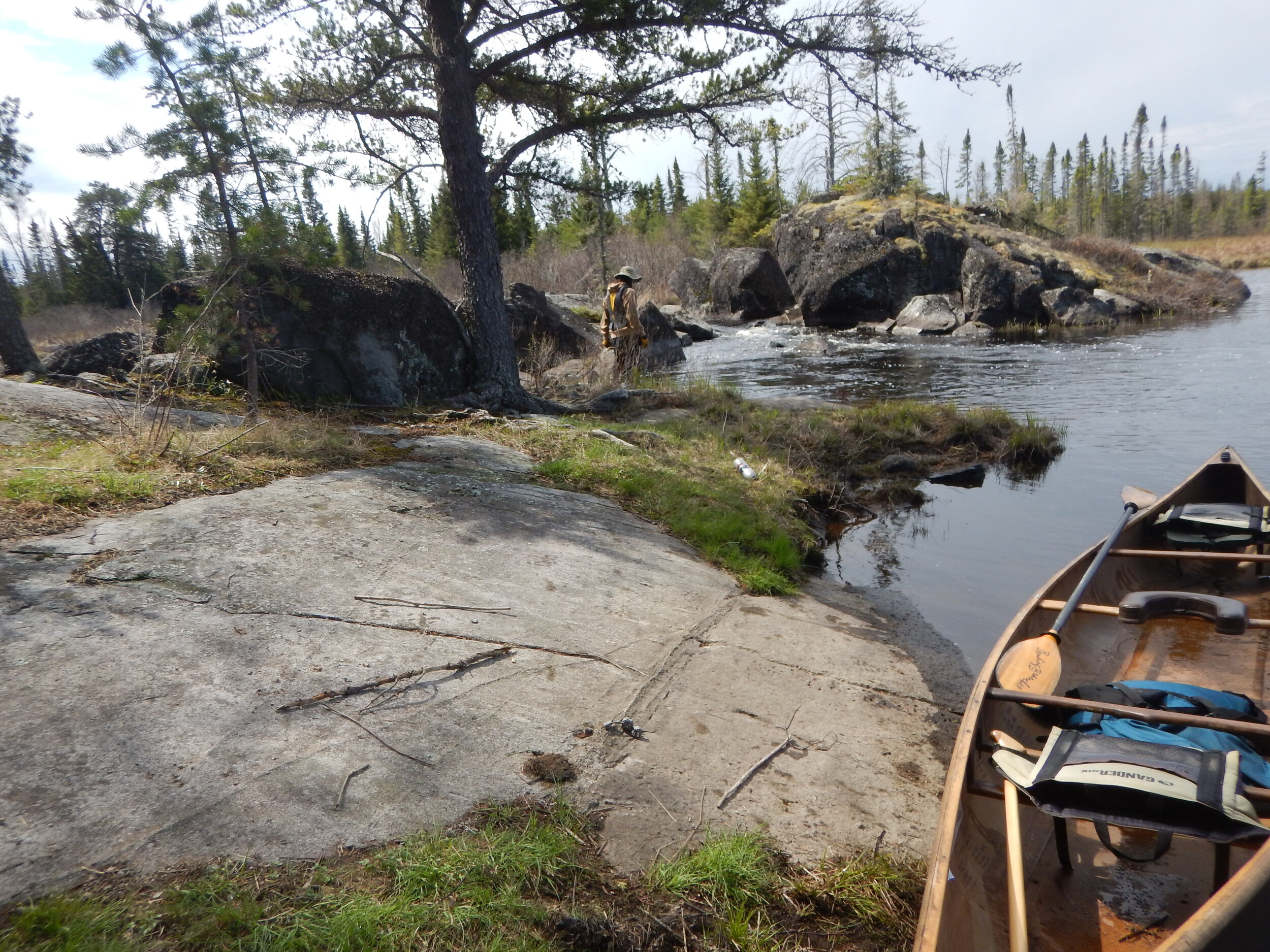
This trail is the brushiest we’ve encountered yet and the hill has a noticeable gradient to it but is nothing close to severe and the trail is short so it’s over before we even work up a sweat. The upstream landing is a bit tricky, but this is a scenic spot to be sure.
The forest has crept back onto the shoreline, and we cross out and then back into the fire zone as the river meanders through several twists & turns. We paddle upon a short, narrow flume we must get out and pull through before the river starts broadening out again as the surrounding hillsides begin to cast a longer shadow as well.
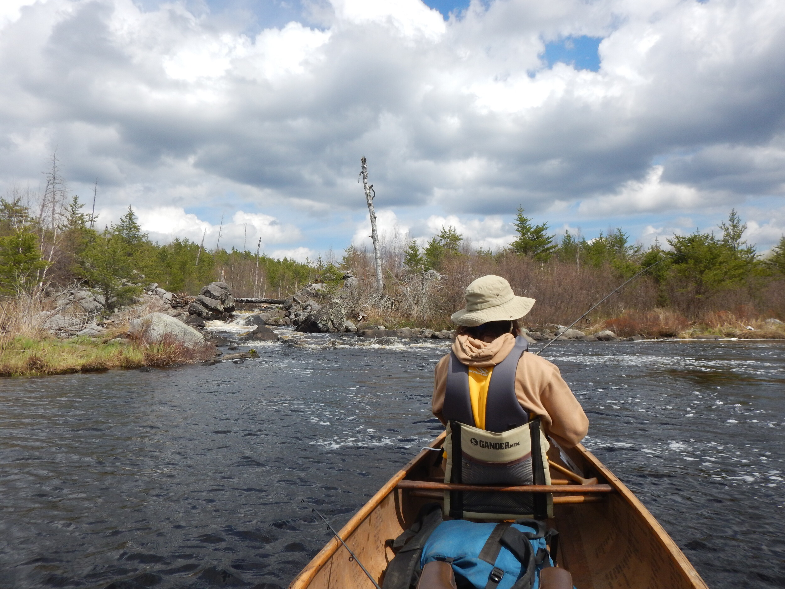
The now familiar cacophony of crashing water begins to echo, forewarning us of another impending portage. The narrow landing is spotted in some thick grass on the north side of the river. There isn’t much room here, but we don’t need much either. It appears this section of this trail has clearly been washed out at some point, as the start is a ravined succession of small rock and boulders. The brushy trail then climbs significantly before leveling out and then drops steeply down to a muddy/grassy upstream landing which is precariously close to the head of the rapids. Certainly, the most challenging portage of the day thus far. But that is tempered by the fact that it is also the most aesthetically pleasing, and we will be lingering here on our way back.
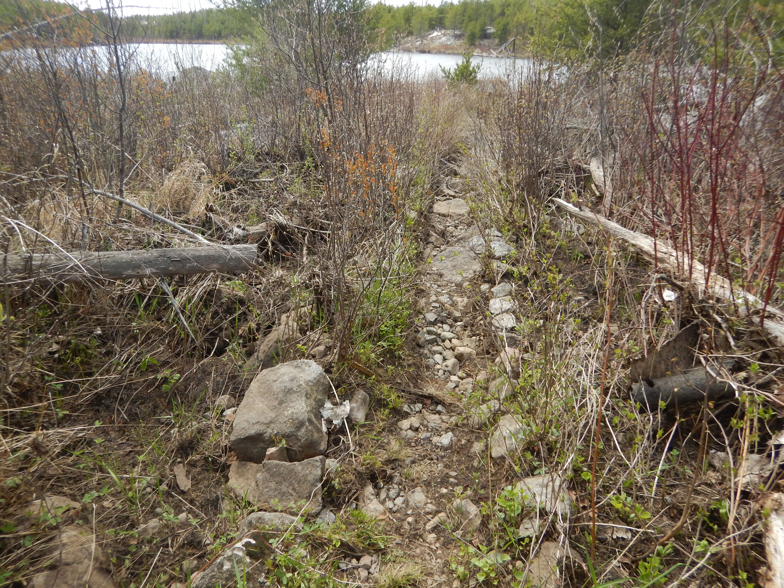
Since this is approximately the mid-point of our travel plans for the day, I thought I’d interject some thoughts and noticed patterns of the experience thus far. I believe all the portages we’ve done (including this last one) have clearly shown signs of being improved and, except for the beginning of this last trail, are all excellent paths with very minimal bothersome boulder, root etc. Impediments. Beyond the various minor gradients, the overgrown/brushy nature being the only real hindrance of note. Frequency is the primary detrimental word that comes to mind when describing the unsavory aspects of these portages.
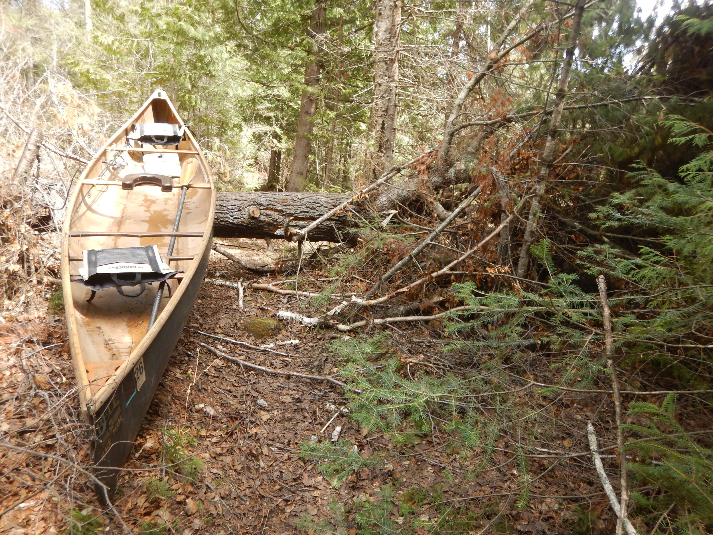
The river remains wide throughout this next section, and a preponderance of lovely cedar trees seems to be replacing the Jackpine as the predominate shoreline attraction. Our next portage is on the east side of the river. The narrow landing isn’t the greatest, but the trail is a flat pine duffed path for most of its short length. As one might guess, a giant white pine sentinel towers over the downstream end of the portage.
It's a short paddle to the next trail which is located on the south side. A very difficult muddy boulder strewn downstream landing and then one of only 2 portages along the Perent River that ‘boasts’ a significant hill to climb. It is also one of the longest (around 45-50 rods) trails. A wet muddy, mushy landing on the upstream side.
An even shorter paddle to the next portage which is located on the north side of the river. This one mostly traces the banks of the river on a very flat path that has some troubling roots and boulders along the way. There is a nice white pine sentinel about mid trail however, we encounter another similar sized one across the trail too. Fortunately, at least the interfering branches have been cut away. A tight bouldery landing on the upstream side and then the river widens a bit into an idyllic little pool below the next set of rapids.
NOTE: We did not do the last 2 portages to Perent Lake on this trip; we stopped at the pool just below the next portage (2nd from Perent Lake) to have lunch and fish. However, we did do those 2 portages a couple years earlier, and I will add my notes from that trip here to complete the documenting of travel on this river.
The 2nd to last portage before Perent Lake is located on the north side of the river. While the landings aren’t horrible, they are not ideal either. It’s a very level trail that has some boulders along the path that can be hard to see due to its overgrown brushy nature. One of the longest stretches of continuous paddling is now encountered before reaching the last portage into Perent Lake. This section will likely be choked with weeds during the summer.
The last portage is also the longest at nearly 60 rods. It is also located on the north side of the river. A mushy downstream landing and another level, though overgrown & brushy, path leads to a nice sandy beach landing on Perent Lake. The rapids here are not severe, and we did see a group walking their canoes through during our visit.
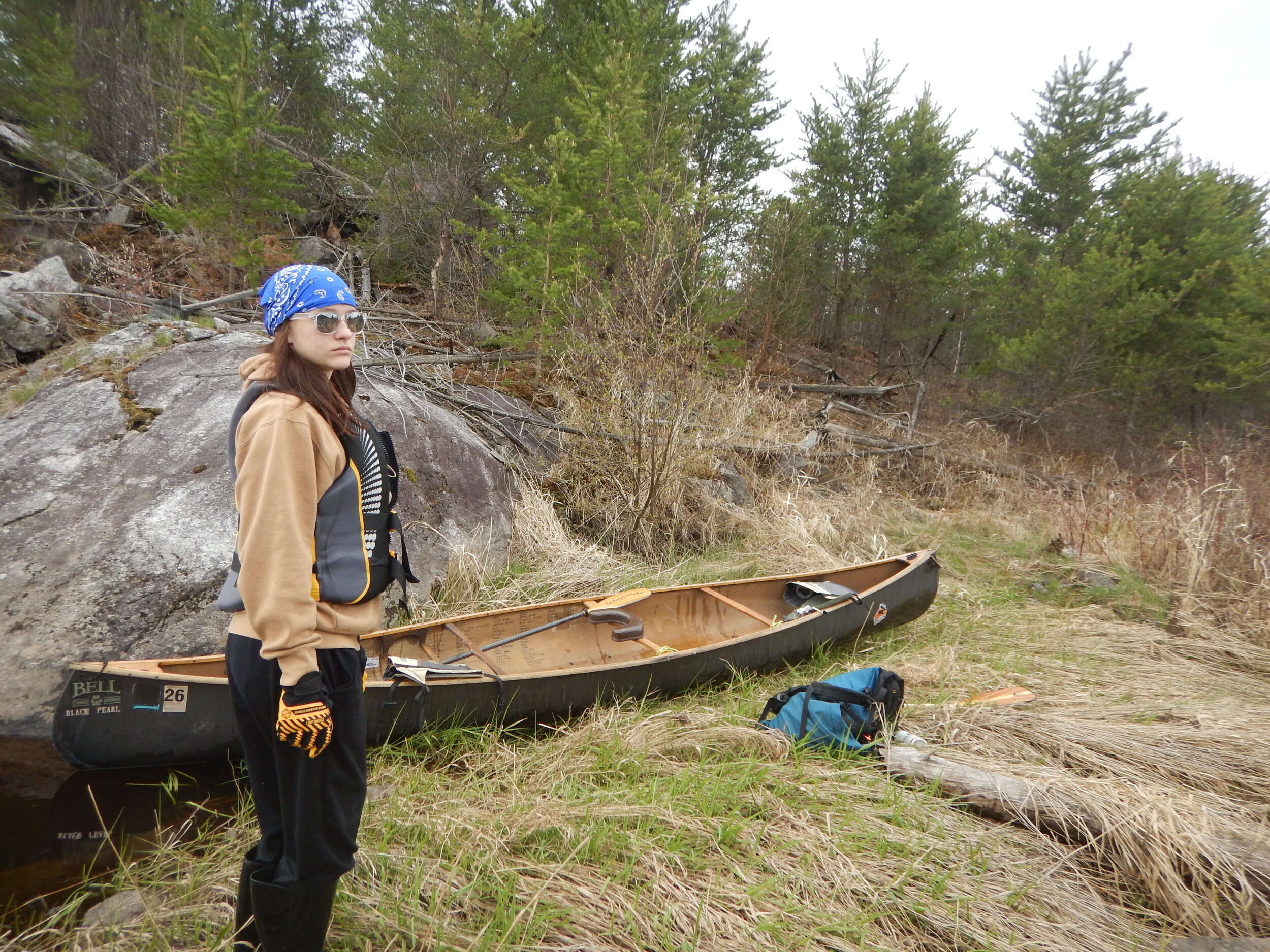
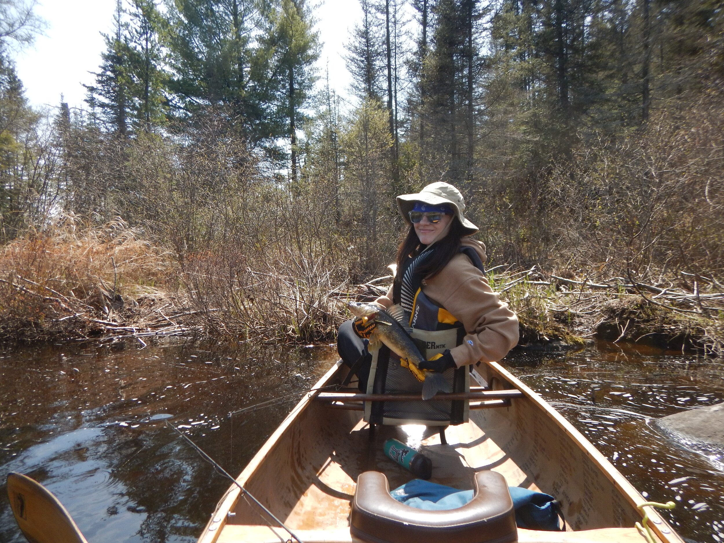
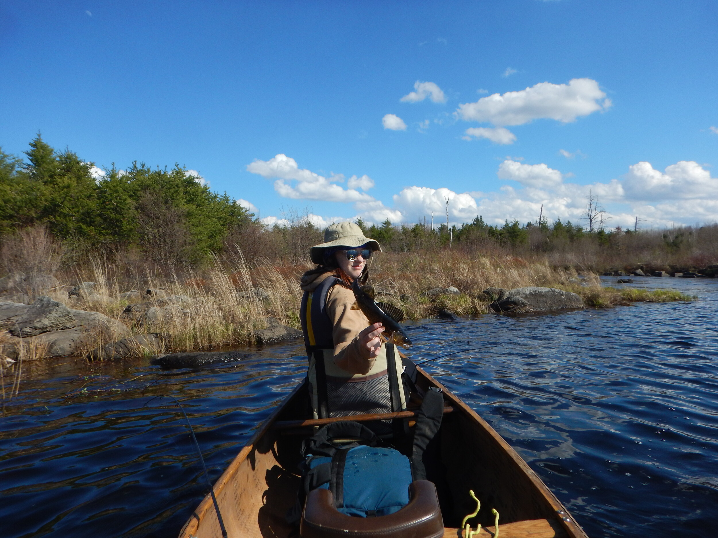
NOW BACK TO THE CURRENT TRIP REPORT: As previously mentioned, we had made it back this far (from the other direction) on an earlier trip. Our group had some decent luck fishing then so, after grabbing some lunch (Zup’s smoked polish & asiago bagels) we wet our lines for the first time. The breeze gently blows us where it will around this quaint lush pool, and Aurora gets us started by catching a small northern.
We slowly start working our way back to camp. We don’t stop to fish after getting across the big hill portage but, the very next one has a scenic pool below the rapids that looks very ‘fishy’ so, we float out to try our luck. Aurora catches a walleye in short order and then another nice one not long after, which she measures with the sticker ruler inside the Black Pearl – 20 inches. She asks. “Should we keep it?” To which I say, "No, I didn’t bring the filet knife, and we’d have to drag it across too many portages before getting it back to camp.” I haphazardly snap a couple of photos before she gently releases it back into the river at which point she confides, “I think that was the biggest walleye I’ve ever caught?!” Aurora has caught countless walleyes over the years but, it just never occurred to me that she hasn’t hooked into a big one yet. If I had realized that was her new personal best, I would’ve taken the time to get a better picture. Ah well, she once again is just grateful for the experience.
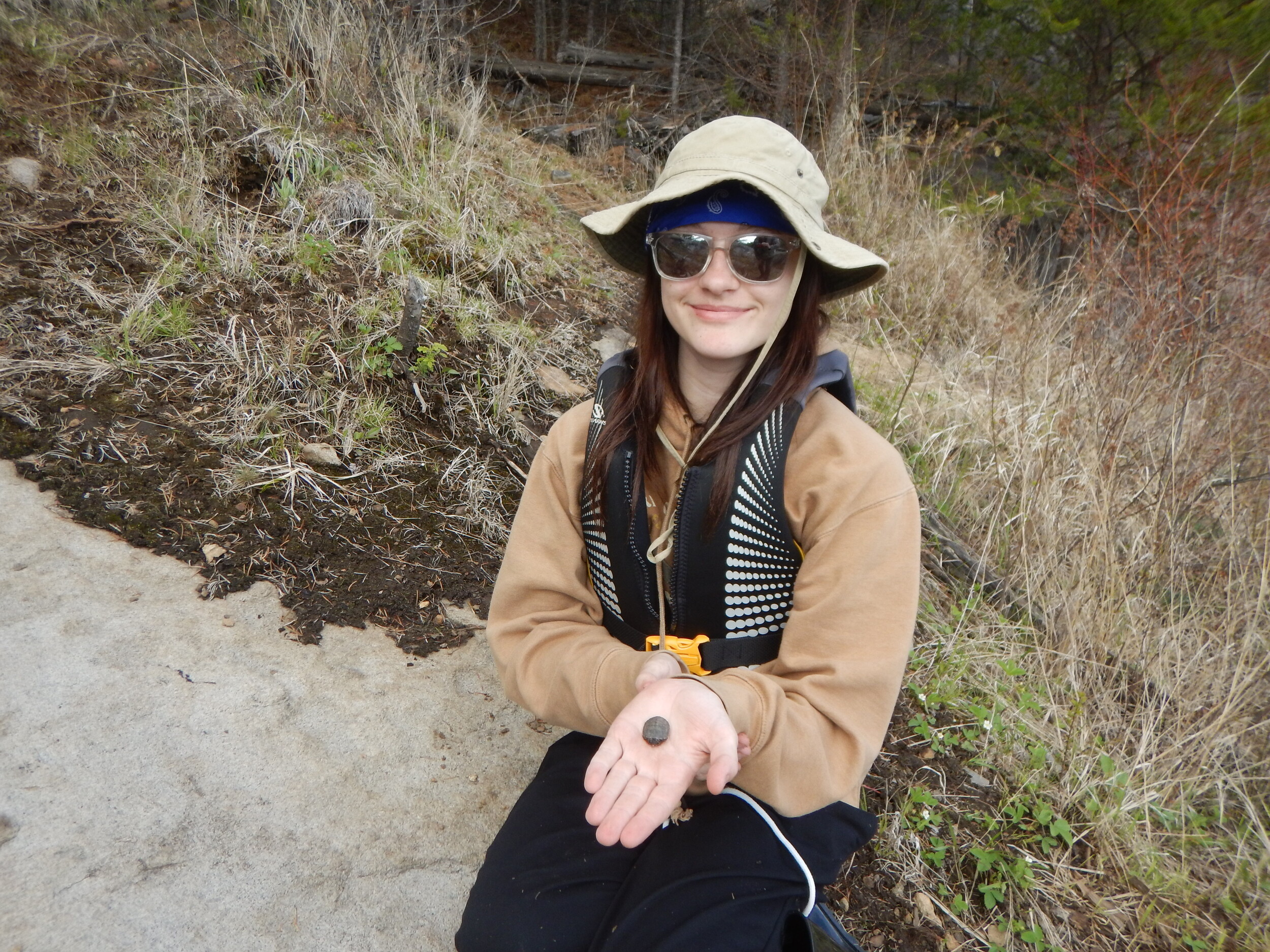
Next up is the other portage with a ‘big’ hill at the bottom of the ‘U’ section of the Perent River. It was hit hard by the fire, so exploration of the gorge and scenic rapids is relatively easy, and we indulge ourselves by doing just that. I hike along the rim of the gorge taking in the sublime scenery eventually hooking up with Aurora near the upstream landing where she has found a new friend. A baby painted turtle who is understandably quite shy and won’t come out of his shell.
We continue exploring and fishing as we paddle & portage our way back to camp. Aurora adds several more smallish walleyes to her tally as the weather pattern now holds to steady sunshine, but the wind is beginning to increase and sustain.
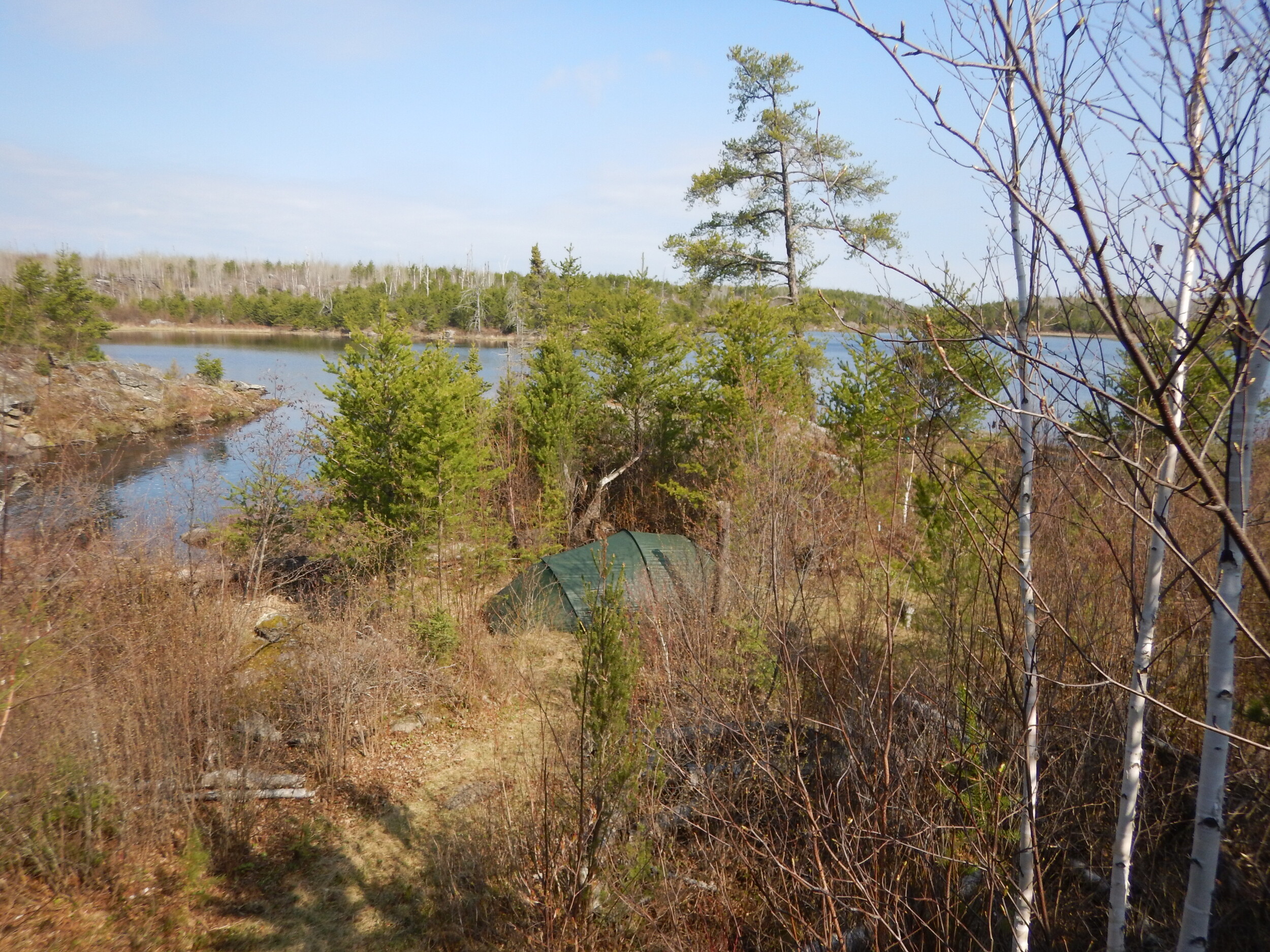
Returning to camp with plenty of daylight yet to burn, I process some additional firewood for this evening. I am grateful to learn that the lone mature Jackpine at this site is well positioned as it provides a generous amount of late afternoon shade. Still itching to fish, Aurora asks if she can take the Black Pearl out solo but, I don’t think it is wise as the wind has picked up and I remind her of what happened to Naomi on our trip last August. Besides, camp is probably the best spot anyways, and she does end up catching a few more from our shore.
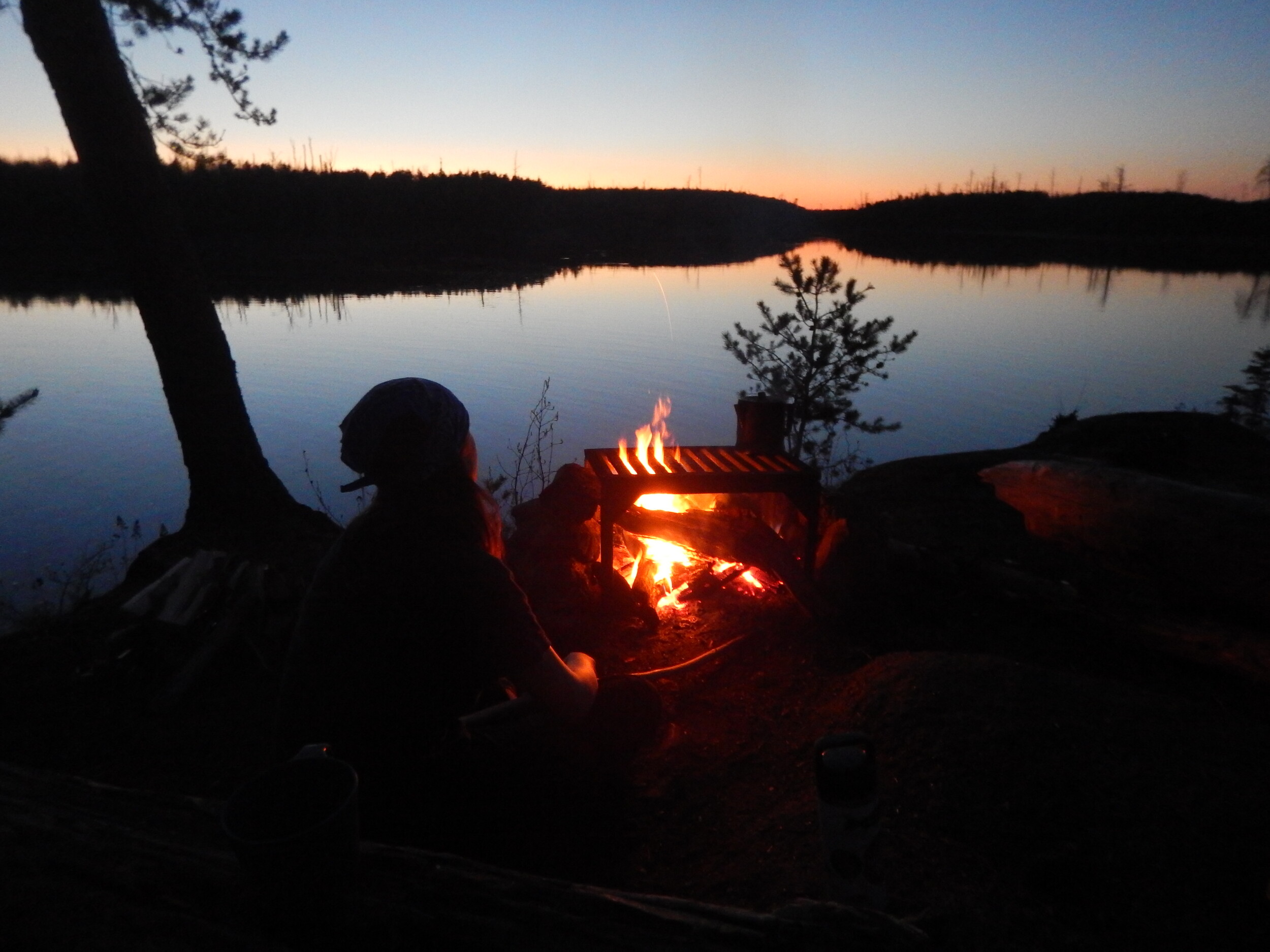
By nightfall the wind has receded, and we are able to enjoy a glorious star lit evening together watching the busy beavers out in front of camp as we both stay up later tonight before retiring to the tent after prayers for a game of rummy as a Nite cap. I won’t say who won.
 Donate - BWCA.com