I remember doing that McDougall portage in 2001 but in reverse (coming into McDougall. The last 100 m was through a knee-high muddy bog. Thus, approaching that portage from McDougall even then would have been difficult to find.
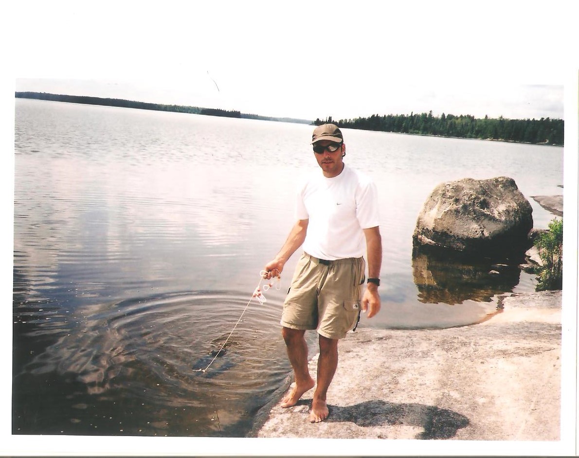
In 2001 the water levels were significantly higher than July 2021. Below are two pics of the same location on Sturgeon Lake (site JC) twenty years apart (the second being a reprise of the one in 2001). The pic in 2001 was taken a day before we paddled to McDougall and through that portage.
In the 2001 photo there are three rocks on shore adjacent to the bush that barely crested the surface of the water. In 2021 they were almost completely exposed. I'm guessing 10-12 inches difference.
Just a snapshot of two years twenty years apart. I assume the levels were higher in 2001 in all lakes.
I was on McDougall in 2020 but entered and exited through Chatterton. So I never checked out that Cutty portage. But the water was visibly lower in 2021 than in 2020. Maybe that bog was dry and perhaps a clearly identifiable trail existed on the McDougall end?


 Boundary Waters Quetico Forum
")


 Search BWCA.com
 Donate