|
 Boundary Waters Quetico ForumGroup Forum: WabakimiMountain Lake to Nameiben Lake via scenic Vale Creek
|
 Forum Sponsor

Author
Text
")

09/06/2019 05:30PM
August 5 to 12, 2019
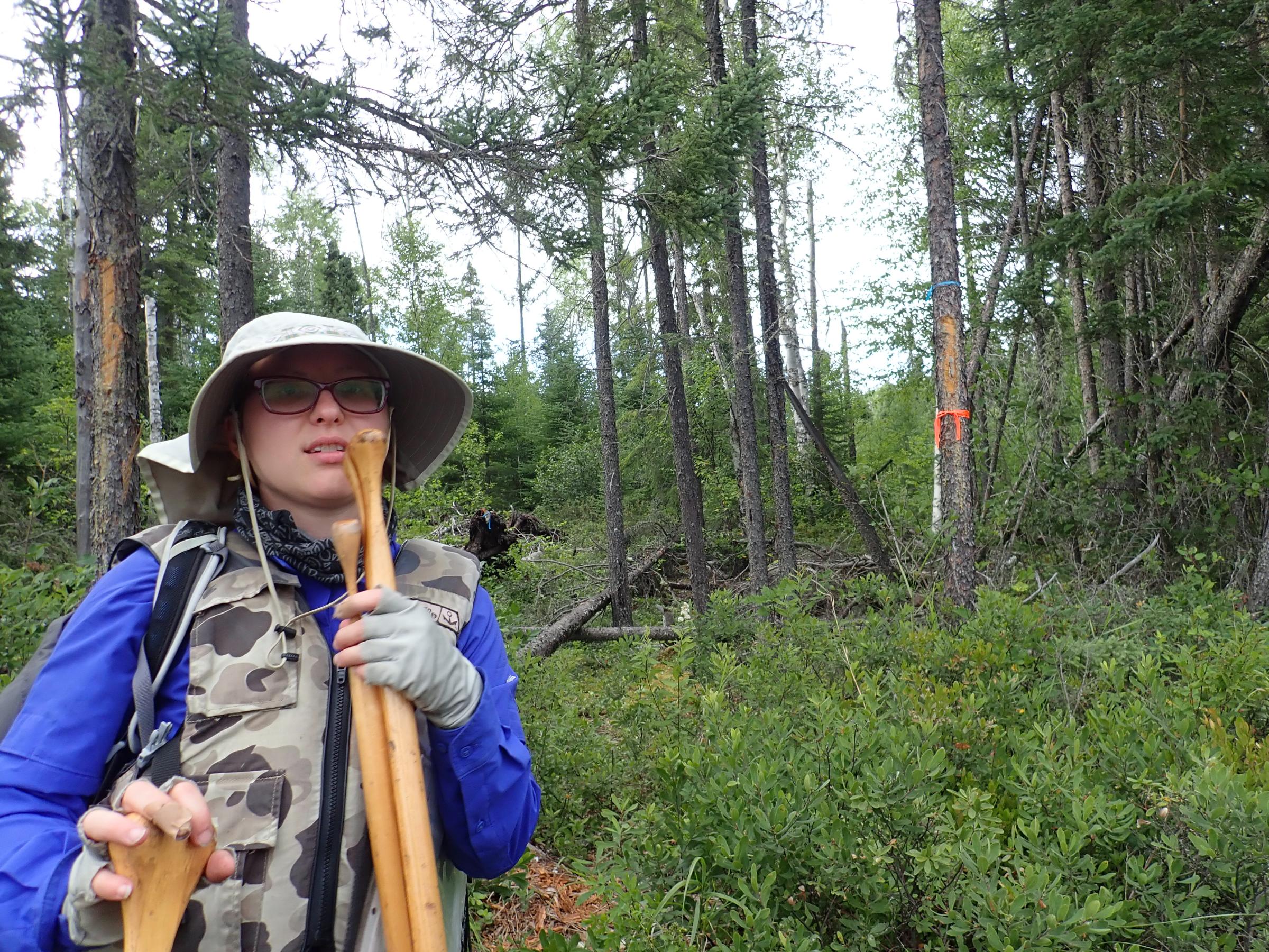
Dave McTeague with daughter Brianna McTeague
Prologue: Having been on four previous Wabakimi Project trips, I’ve touched this route so to speak twice before and then heard and read reports, so my curiosity was aroused. In 2016, our group traveled down Trail Lake Road (Clem Quenville’s shuttle), then portaged down through Rocky Island Lake to Tunnel Lake (and through the tunnel) to a base camp. We scouted and partially cleared the portage to Mountain Lake. The following week Bill & Kris Pyle completed that portage with Bill catching a lake trout in Mountain Lake. In 2017, our group base camped on Rushbay Lake and then worked the ponds to the east culminating in the 641 meter portage to the Vale Creek section north of Alter Lake.
This route is a future Guidebook candidate as a shorter and accessible Crown Land canoe route near Armstrong, Ontario and Mattice Lake. Although we indulged in a Beaver flight to Mountain Lake, this route could be accessed by Trail Lake Road (starting at either Rocky Island or Tunnel Lakes) from the North with two possible road takeouts near Hwy 527 to the South. Fortunately, Ray Tallent kindly shared his Wabakimi Project work reports from 2016. Now that we’re in the post Project era, our trip also served to assess the condition of the portages, that have seen little, if any use since.
Day 1. After staying one night at the Mattice Outfitters McKenzie Lake cabin, Brianna and I boarded their Beaver for the short flight into Mountain Lake. The pilot Dave, flew us down to our end point on Nameiben Lake, and followed our route back up to Mountain Lake. (video to follow) We could see how scenic this route was, even though we could see the results of past logging near this route. (more logging is occurring in this general area). The Beaver dropped us off and we easily located the one campsite on the SE side of this lovely lake. A good landing and a fabulous fire ring with an awesome capstone greeted us along with alders growing near the remaining sitting log, certainly appearing the site had no recent use whatsoever.
We explored north to find the portage into Tunnel Lake. We saw one stashed boat astride a beaver house with some blue plastic nearby. No evidence of recent use. After following a beguiling moose trail, we located the actual portage which proved to be choked with alders, so no further exploration was done. On the way back to camp, a downpour soaked us, which Brianna much enjoyed! (A veteran of BWCA & Quetico trips, Brianna has extensive training in biology/genetics & works for a major PNW timber company in their tree improvement program).
Day two. We first paddled to Mountain Lake’s SW bay and after following several animal trails (where the map said the portage would be) we found the portage in the far corner of the bay behind some beaver runs. A clear blaze was obscured by branches. We scouted the “Mountain Portage” up and over, down the hill, into the creek bed (with a recent moose droppings), and most of the way down the hill. We were thankful for the blue ribbons left by the folks who rehabilitated this portage. There was No evidence of recent use and much overgrowth. We then fished various bays with no success, but following a line down the middle of this modest size lake with silver spoons, we caught several lake trout for a fabulous dinner. Our camp had a nice swimming area that we both enjoyed! Blueberries aplenty.
Day three. Nice weather, we again fished and caught more lake trout! Desiring to improve her wilderness skills, Brianna deftly cleaned them all! We found an ephemeral stream & beaver dam off a south bay and explored up a dry creek bed with many animal tracks. Crashing into the bush, she found some gnawed antler remains, and later we climbed a small hill nearby to find a secluded pond.
Day four. We broke camp and down the 485 meter Mountain Portage to the Vale Creek landing, where a Project group had camped and worked on the portages going North to Alter and Rushbay ponds. There were some steep sections where I took the canoe off and slid it down, as well as some difficult (for me anyway) step downs. A challenging portage, but not the worst. We canoed south and began our passage through several scenic ponds with impressive rock walls.
Finding the 212 meter portage river left was difficult, after fruitlessly exploring around the peninsula, we finally followed the left (or east) channel, pulled over a small beaver obstruction (which did have a cut log), then through a rock garden, and there at the very end of the bay was the post with the survey marker. The next 482 meter portage to Vale Lake was on river left (called the Rock Portage on the outdated park map) was much more challenging; with blow down and overgrowth. Ray Tallent reported their 2016 work on this, …”we had to wing it a bit to get to Vale, using old log cuts for clues, but also compass and GPS…” Luckily for us the crew left a series of blue ribbons marking the way, as I’m sure, we were the first to travel through since 2016. The Vale Lake end is marked with a blaze and ribbons (we added to those) amidst a lot of blown down jack pines.
We canoed across Vale Lake to the one known campsite. I thought I saw something black moving on that site from a long distance…but maybe it was my imagination. A nice campsite with a gravelly beach and a stunning view awaited. An old Lund boat is cached there..no sign of recent use, and the fish cleaning table mentioned in Ray’s report suffered from a collapsed jack pine.
Day five. As happened with the portage crew, we were winded in for one of those scenic relaxing days. Evening came and a short paddle produced a nice northern and good sized lake trout, both caught by Brianna. Vale Lake is fairly good sized and invites further exploration, which alas we didn’t do. It was apparently, a destination for at least one group of determined paddlers coming up Vale Creek.
Day six. The 164 meter portage out of Vale Lake starts on river right and goes around some large blown down cedar roots at the start. We found a fishing rod and a few new log cuts indicating some recent use. A second short 43 meter portage on river left skirts the creek where we had lunch, is not indicated on the FOW map. Then there’s a longer stretch of pools with some nice rock outcrops. Two good potential campsites were mapped in 2016. These sections include some wide and boulder areas…some really nice sections that call out to you. My planned YouTube video will include footage of these stretches. A river right 68 meter portage is followed by the last pool and the pleasant 178 meter portage into Nameiben Lake (and the Wabinosh River) starts in a grassy area on river left. We found the purported peninsula campsite indicated by a large rock cairn on the bluff; but no indication of any campsite use or fire ring. I chopped back vegetation while Brianna cut a trail from a mossy tent area down to the bluff and the sitting rock ledge that we used for stove cooking under our tarp.
Day seven. A beautiful sunny and windy day. First we paddled down through a rocky narrows and swift to find “Desperation Camp” (as Ray’s group called it) on the south part of Nameiben Lake. We met up with two older fishermen in a Lund type motor boat on a fishing excursion. We learned they had driven up the 1.5 km logging road to the camp in their ATVs pulling the boat. We found the camp and checked this out as our extraction point for the following day. We paddled back to explore the scenic south arm of Nameiben Lake, catching one walleye. We found an old fire ring and possible camp on a rocky point mid way down the arm (west side) and stopped for lunch. We met a canoe couple from Thunder Bay who proceeded to land a nice lake trout in front of us. Their luck was much better, as they also had three walleyes and a pike as they went by on their way out. The couple also shared their conversation with the motor boat guys, who allowed, “It’s sure getting crowded on this lake!” after meeting up with just two canoes.
Day eight. We made our way to Desperation Camp and called Mattice Lake Outfitters on the SAT phone. We portaged our gear up the 20 meters of rocky spur road to the logging road. An hour later Don Elliott (and his huge dog Otis) arrived in his Old pickup after terming this, “a shitty road.” The road was passable; but the overhanging alder made it a slow noisy ride out to Hwy 527. Had I known how “shitty” this road was, I would’ve taken the two more portages (53 & 216 meters with some swifts) down to more accessible Wabinosh River landing on the east side of Hwy 527.
Epilogue. This was one of my best trips ever; with my favorite paddling partner. Great fishing, inviting scenery, and two (out of three) nice camps. It’s an adventure exploring a scenic route that gets almost no use. Also this was my first Wabakimi trip without the benefit of others showing the way. Mountain and Vale Lakes are nice destinations all their own. Nameiben Lake is accessible as a great day trip, if you don’t mind a few scratches on your car. The Mountain to Vale Lake portages were passable but in need of some TLC, especially the one into Vale Lake. They are modestly better after we went through. Is this route adequately recognized and protected by the Ontario MNR? That’s my question as a FOW Board member. I can recommend this route as a good introduction to the Wabakimi area.
FOW Canoe Route Maps, Volume 5; Map 3, “Tunnel Lake to Waweig Lake via Vale Creek” provides detail for this route. Map 4 also shows the Rocky Island Lake section. Map 5 shows the Rushbay Lake to Mountain Portage route. Order form below.
Acknowledgements: Inspired and directed by the late “Uncle” Phil Cotton, Wabakimi Project crews cleared these portages and surrounding Crown Land canoe routes in 2016. Participants included Barry Simon, Ray Tallent, John Sinclair, Cary Kellar, Amy Funk, Larry Power, Craig Charles, Debbie Doyle, Ken Babinchak, Bill and Kris Pyle. Also, John Holmes, Randy Trudeau and yours truly worked on the Rushbay Lake to Vale Creek portages.


 Wabakimi FOW Map Books Order Form
Oregon Dave

09/11/2019 09:33PM
OregonDave, thanks for your detailed trip report! You brought back fond memories to me and my wife of a week spent on Tunnel Lake. We were weathered in for about three days with sporadic work being done to rehabilitate the portage from Tunnel to Mountain Lk. Once the weather broke, we were able to get to Mountain Lk., via the portage, for part of one day. We located the campsite for the next crew and, no doubt, the one you and Brianna used. It is a beauty and the lake is a gem with great fishing. This route is definitely one that will become popular in the future! Thank you for retracing the route and giving this update!
The Wabakimi Project looked extensively for the "Mountain Portage" at the SE end of Tunnel Lk into Mountain Lk with no luck. Phil came to the conclusion that the labeling on the topograghic map of the "Mountain Portage" is in fact in the incorrect location. It is acctually out of Mountain Lk into Vale Creek, the portage that you used. This is just for clarification for those who might just be using the topo. map without the more detailed Friends of Wabakimi Maps.
The Wabakimi Project looked extensively for the "Mountain Portage" at the SE end of Tunnel Lk into Mountain Lk with no luck. Phil came to the conclusion that the labeling on the topograghic map of the "Mountain Portage" is in fact in the incorrect location. It is acctually out of Mountain Lk into Vale Creek, the portage that you used. This is just for clarification for those who might just be using the topo. map without the more detailed Friends of Wabakimi Maps.
Friends of Wabakimi! = www.wabakimi.org
09/12/2019 06:22AM
Bill (BV) is correct to point out that the Mountain Portage is not where the map would suggest, but there may be another portage from Mountain Lake up to Tunnel Lake. During one of my last conversations with Phil after our group's 2017 trip to Vale Creek, I showed him the photograph below. It was a portage sign on a tree at the campsite on Mountain Lake. He was excited to see it. He said he had heard that there was another portage to Tunnel Lake from that area and he believed that is where it began.
The blaze is on a tree on the south side of the campsite. The trail leads back from there into the bush.
The blaze is on a tree on the south side of the campsite. The trail leads back from there into the bush.

10/21/2019 01:27PM
Wabawho: "Love the trip report. Such a large park. So many directions one can go."
Do you have a trip report re your 2019 trip up the Allanwater and back down the Nemo? Would you suggest that as a good introductory route for folks who haven't been to Wabakimi before?
Oregon Dave
10/25/2019 02:35PM
I do not have a trip report. I usually do my "reports" via video and I'm woefully behind in that regard.
To answer your question though: The trip would probably be good for a second trip. The portages were fine with not a ton of route finding issues, but there is quite a bit of fast water on the Allenwater (even going against current as we were). I think the Brightsand river loop south of the park or a Flindt river trip would be a better beginner route. The Nemo up and back would also be good (and one I'd like to do again some day). Just my take.
To answer your question though: The trip would probably be good for a second trip. The portages were fine with not a ton of route finding issues, but there is quite a bit of fast water on the Allenwater (even going against current as we were). I think the Brightsand river loop south of the park or a Flindt river trip would be a better beginner route. The Nemo up and back would also be good (and one I'd like to do again some day). Just my take.

03/31/2020 12:39PM
sns: "Appreciate the video! Get a real sense of what portages do without use..."
Thanks. They're not BWCA or Quetico; both they were passable with care. They do need some maintenance. Especially the one between Tunnel and Mtn. Lake.
Oregon Dave
03/31/2020 07:08PM
Enjoyed your video Dave. I remember clearing much of that route in 2016. Barry and I saw a caribou just as we entered Vale Lk from the west. It took me 10 yrs of trips to see my first caribou. A bit discouraging to see the grown-in portages just three yrs after all the work clearing them.

Subscribe to Thread
Become a member of the bwca.com community to subscribe to thread and get email updates when new posts are added. Sign up Here
Community Links
 Search BWCA.com
 Donate
 Featured Sponsor
