BWCA For those looking at the map at Caribou (east) Lake Boundary Waters Trip Planning Forum
Chat Rooms (0 Chatting)  |  Search  |   Login/Join
* BWCA is supported by its audience. When you purchase through links on our site, we may earn an affiliate commission.
Boundary Waters Quetico Forum
   Trip Planning Forum
      For those looking at the map at Caribou (east) Lake     
 Forum Sponsor

Author

Text

Kayaktom
member (8)member
  
06/07/2021 12:24PM  
I just returned from an epic trip on Caribou Lake (entered via EP62 Clearwater). In case anyone is looking at the online map or the McKenzie map, please note that campsite #5 is NOT immediately by the middle portage on Caribou. It is about 150 yards to the west of the portage.


I took a photo of this for reference. Campsite on left, portage on right.
 
Reply    Reply with Quote    Print Top Bottom Previous Next
06/07/2021 06:56PM  
Good info Kayaktom, I always wondered why this site was not shown on the map. We stayed there many years ago and wondered if it was supposed to be closed but there was no signage and it didn't look closed.

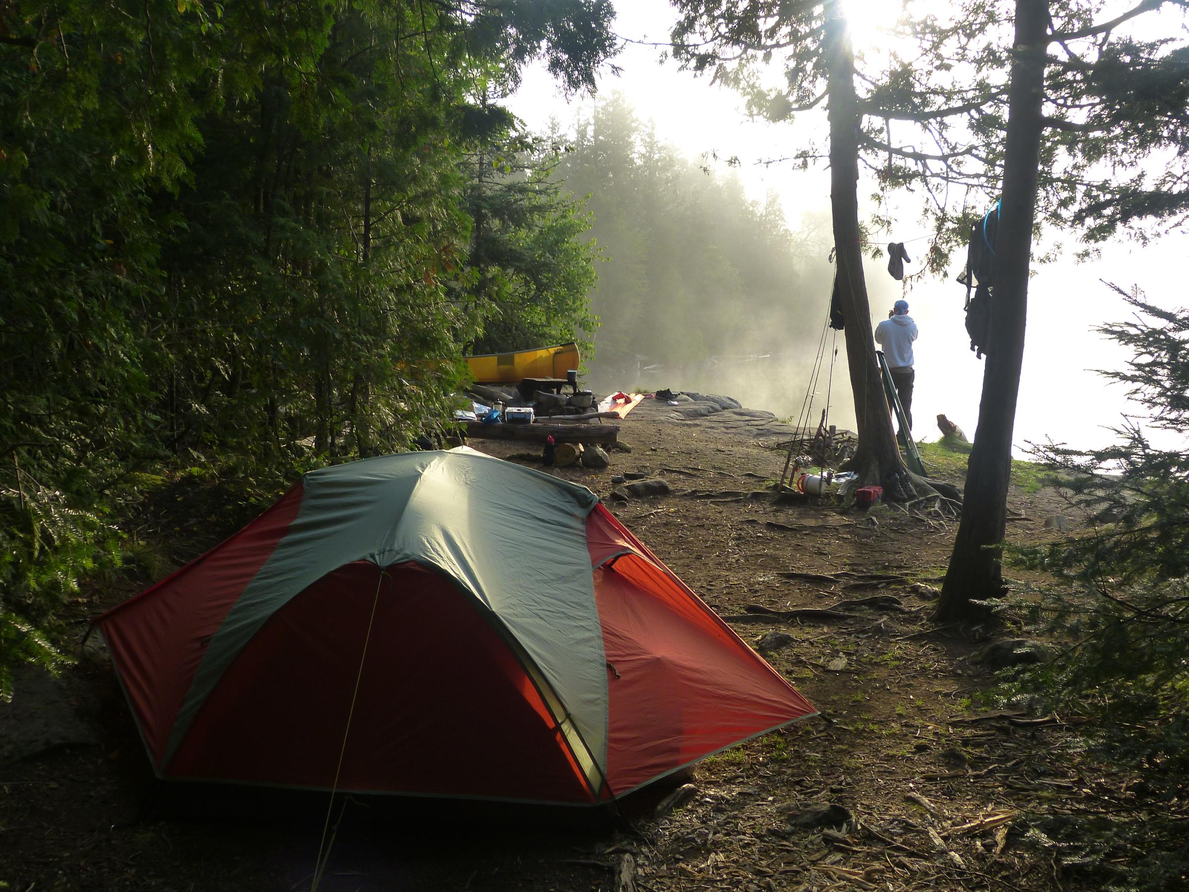
We loved the campsite for the exposure to the lake by the firegrate, found 3 good enough tent pads for small tents and found the sunrise views amazing and the small island out front made for some nice photo opportunities.. Not to mention the fishing from shore. It's a great but smallish site and as you said, convenient for a daytrip to Pine and Johnson Falls.


My tent site and the living room of the campsite


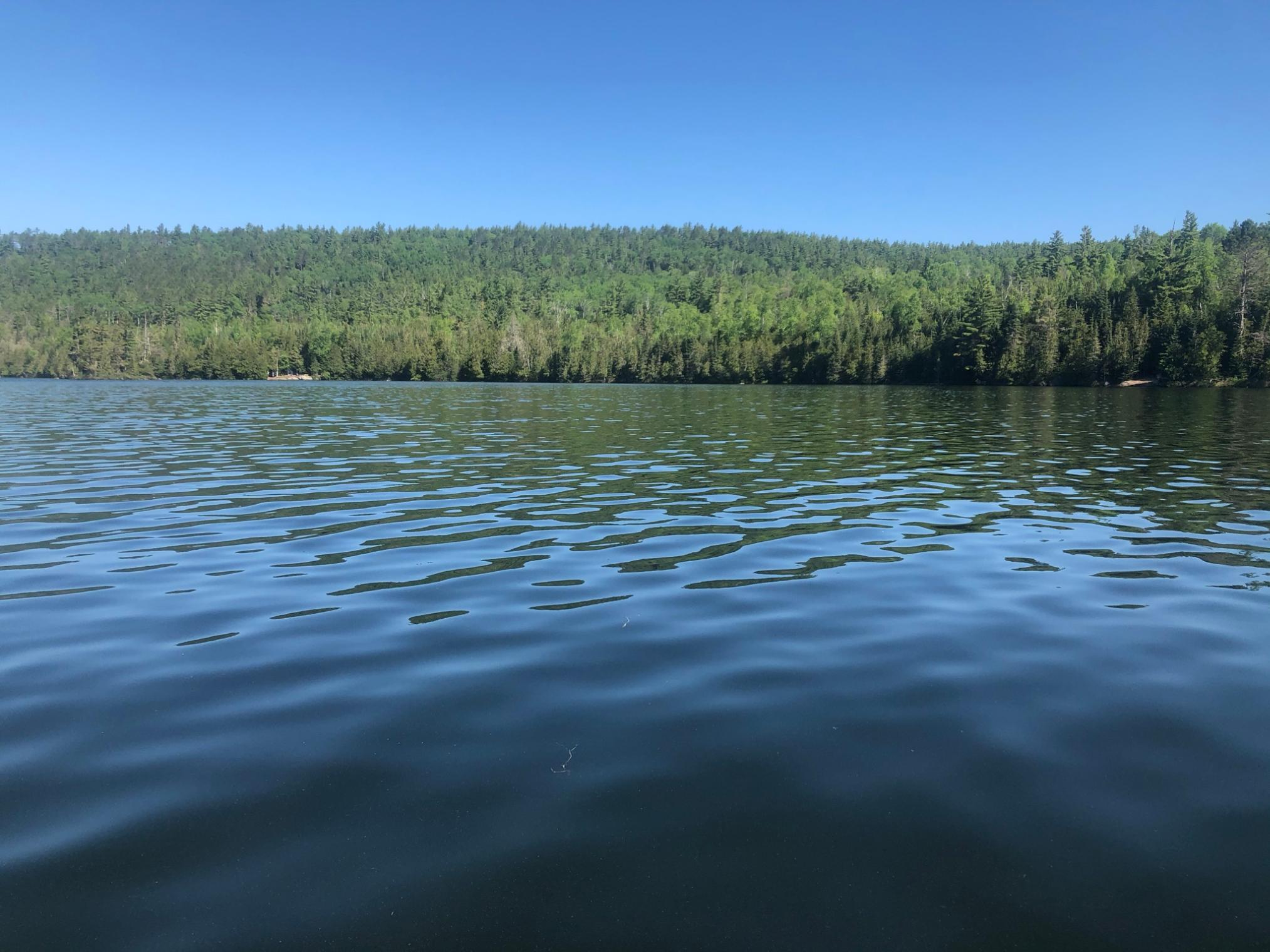
Morning view of the island out front


Sunrise view to the east


The upper falls at Johnson Falls, the one that some folks miss cuz they don't know it is there.
adam
Moderator
  
06/08/2021 07:22AM  
Thanks for the heads up. We have moved this.
 
Reply    Reply with Quote    Print Top Bottom Previous Next