Voyageur Map #4 by Voyageur Maps
Product Description
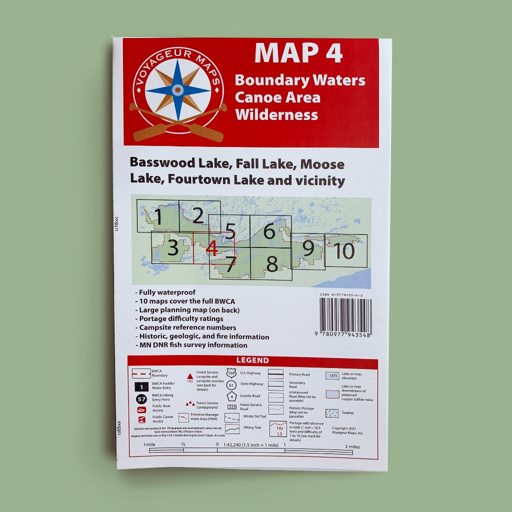
Voyageur Map 4 shows all of Basswood Lake within the United States, as well as the main corridors for travel into and out of Basswood.
Link to Map Coverage
The two most popular entries in the entire BWCAW are shown on Map 4: Moose Lake (EP 25) and Lake One (EP 30). Mudro Lake (EP 22 and 23), Fall Lake (EP24), Wood Lake (EP 26), North Kawishiwi River (EP 29), South Farm Lake (EP 31) and Snowbank Lake (EP 27) are also shown.
One of the two remaining truck portages in the Boundary Waters continues to operate on the Canadian Border at Prairie Portage. During peak boating season a contractor uses four-wheel drive trucks and a trailer to pull boats over the U.S. side of the portage. Typically canoeists take the much shorter portage trail along the Canadian side of the border, which is not motorized.
Caution should be exercised when crossing the largest lakes of Map 4 in a canoe. The big open stretches of Basswood Lake can develop large, dangerous waves. Early morning is often the best time to cross these big areas.
- Dimensions: 38 3/4" x 28 3/4"
- Delivered Folded 6"x 10" (not available unfolded)
- Weight: 4 oz
- Waterproof Paper