BWCA Gear Guide

True North Map Company
True North Map Company offers BWCA canoe maps. Each map is 25" x 24 1/2" and can be worn, shoved in a pocket, or tied on a pack. Our maps are built from the latest and most up to date GIS data from mu... View Sponsor Details
Voyageur Maps
Voyageur Maps is a provider of high quality Boundary Waters Canoe Area (BWCA) maps, as well as, maps for the adjacent Quetico region.... View Sponsor Details
GPS
Although no one should enter the BWCA without a compass, paper maps, and the ability to use them, a GPS can also be a helpful device when traveling the Boundary Waters Canoe Area and Quetico. View Category Details
Satellite Messengers and PLBs
Try out the new Spot Messanger which allows you transmit status to your family members or request help in an emergency. View Category Details
Maps
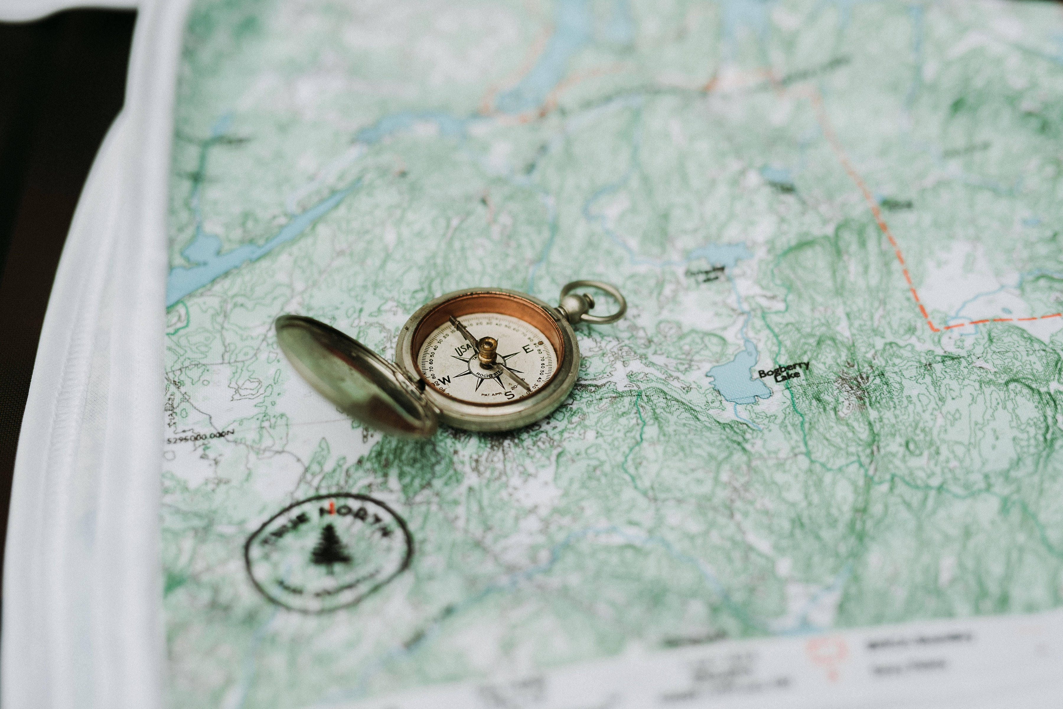
Maps are an important part of your trip into and around the Boundary Waters and Quetico. Navigation within the Boundary Waters should be done with quality, waterproof maps and good gps information. View Category Details


