BWCA Entry Point, Route, and Trip Report Blog
April 27 2024
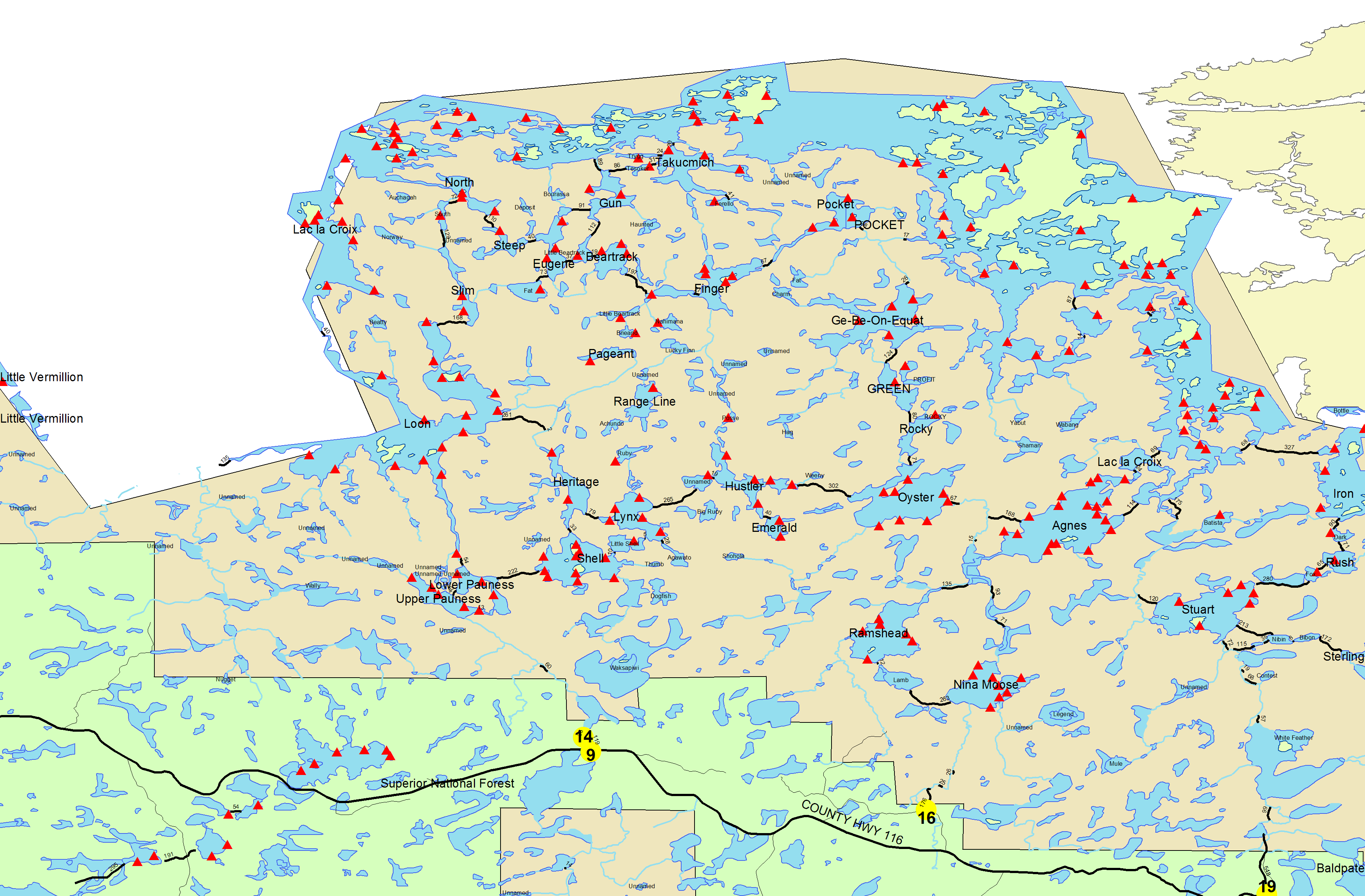
Entry Point 14 - Little Indian Sioux River North
Number of Permits per Day: 6
Elevation: 1364 feet
Latitude: 48.1466
Longitude: -92.2103
Shell Lake Base Camp
Entry Date:
May 22, 2008
Entry Point:
Little Indian Sioux River (north)
Number of Days:
4
Group Size:
2
Although we tried to prepare better, we still brought along too much gear. And instead of my heavy aluminum canoe, we tried Peter’s heavy fiberglass one. It did have a more comfortable yoke. After a night in Orr at Norman’s Motel, we headed over to LaCroix Outfitters in Buyck, where we probably should have stayed, to get our permit. The owner was very nice and gave us some good tips.
We were lucky that the weather was warm and sunny since winter had just released its grip, and ice had just left the lakes days before. We finally arrived to EP #14 around 9:30am. After much repacking and organizing (and leaving un-needed stuff behind) we still triple portaged down the 40 rods to the Little Indian Sioux River. This portage is down some huge smooth boulders or rock face that could be very treacherous if wet. Putting in here is a little tricky too, with the current a bit stronger due to the recent snow melt.
Paddling up river was easy but there are a lot of bends to navigate in the first mile. I am not sure if this would be too easy if the water level was low. At the midway point to Upper Pauness Lake, there is an interesting 60 rod portage. There is a tunnel like canopy and the moss and ferns gave a jungle feel to it. The trail follows along rushing rapids and at the half way point there is a small scenic water fall.
The next portage from Upper to Lower Pauness is 8 rods and is a real pain. There is a wet rocky low area to get your boots wet. Then you have to go up and over a large rock hill. It was rather steep up and then back down to the water. We doubled up on the canoe and had a tough time. The camp on the north side of the portage was occupied and they were catching walleyes at the inlet. There is a 40 rod alternative that might be easier than our route.
The next portage into shell is 216 rods. We doubled up on the canoe again and I held up the back end. The first 75 rods of the trail is rocky. Not being able to see the ground well, I turned my ankle and dropped to the ground in pain. My high rising hiking boots probably prevented a serious injury and the end to our trip. Triple portaging didn't help but I was able to “walk it off.”
About ¾ across this portage there is a low area and a wood “balance beam” to cross the swamp. There was also a spectacular beaver dam, the longest I have ever seen. When we set off on Shell, the wind was definitely a factor and there was a good chop. Well behind schedule at this time, and after being passed on our last portage, we felt some pressure to find a good camp site. The group who passed us was also headed to Lynx. Because of these factors, we took the direct route across the middle. We were unable to get in front of the other canoes, but at least we didn't swamp our canoe in the process.
Because we were wind-washed and unsure if any sites would be open on Lynx, we decided to find one on Shell. The only island sites that were open were #54 and #51. #54 was exposed to the wind which was becoming colder. #51 was is rough shape and looked to be abused by previous campers. We took site #48 which was average at best. The best part of this site was the close proximity to a calm bay where we caught a couple of walleyes and northerns.
The next morning, and after some blueberry pancakes and coffee, Peter canoed over to the island site #53. The previous occupants had just left. Peter left a bunch of our gear there to hold the spot until he could come and get me and the remainder of our stuff. I am not sure if this is proper etiquette but we hustled back and set up at this marvelous site.
This site was set high on the rocky north end of the north island. Huge boulders protruding from the water – this is what I hoped to see in the BWCA. There is room for two tents and plenty of firewood. This is a 5 star in my book. I am not sure why this site is now closed and wonder if there is a way to find out. The view from this site is of the rocky opposing shoreline and towering hill. We hiked up this hill to a cool flat-rock overlook. There was terrific northern fishing from shore starting from the camp and walking north. We fished all over Shell but had the best luck right by our camp. Our second day ended with a big fish fry with fried potatoes and a mudslide or two.
The next day, after another blueberry pancake breakfast and a warm day ahead, we planned a trip over to Devil’s Cascade. While on the long portage to Lower Pauness we crossed paths with a group of 6. It seemed to be a mother with 5 kids. And one of the children was a toddler! I was impressed to say the least. They were better outfitted and organized than us.
I am not sure this toddler would appreciate what her mother was doing until she grows up and has children too, and looks back upon BWCA pictures!
We made a mental note to check up on them later – not that they needed us to.
Devil’s Cascade is where the Little Indian Sioux River runs through a little gorge and is quite thunderous when the water level is high. It is along the 160 rod portage from Lower Pauness to Loon Lake. It is well worth the time to explore. We thought about carrying the canoe and fishing the other side of the portage, but there is a steep incline to summit in the middle that would be a back breaker with our canoe.
At this summit there is a camp site which is part of the Superior Trail system and is situated near the edge of the ravine. I think it would be a fun place to camp. It is certainly not a place to camp with small children with a cliff being only steps away. It does have quite the view.
After spending a few hours around the cascades, we when back to Shell and portaged into Heritage Lake. We needed some fish for supper but the lake seemed empty of any fish. We went back to camp and hoped to catch something from shore before dark. This worked again and we had fish frying as the sun set.
As we were sitting by the fire enjoying some mudslides, we watched a large lightning storm to the north and hoped it would miss us. The lightning lit up the sky and revealed a nasty looking storm. We later found out there was tornadic activity. It went from calm, to windy, to batten down the hatches in minutes! We quickly tied our tarp over our tent and pitched it to the ground, to direct the wind over our tent. The tarp was one heavy item that we were now glad we brought (my lower quality tent would not have survived.) It was actually an exciting end to a great day!
The next morning was cold. Our stuff was wet. We were wore our, and it was time to head back. We went by the camp site on the south side of our island on our way out. This is where we knew the family with the toddler had set up. They looked in fine shape so we kept on our way. We actually enjoyed the portages, except for the short one, and took time to check out the beaver dam again. We talked of future trips all the way home and our return in 2010.