BWCA Entry Point, Route, and Trip Report Blog
April 27 2024
Entry Point 14 - Little Indian Sioux River North
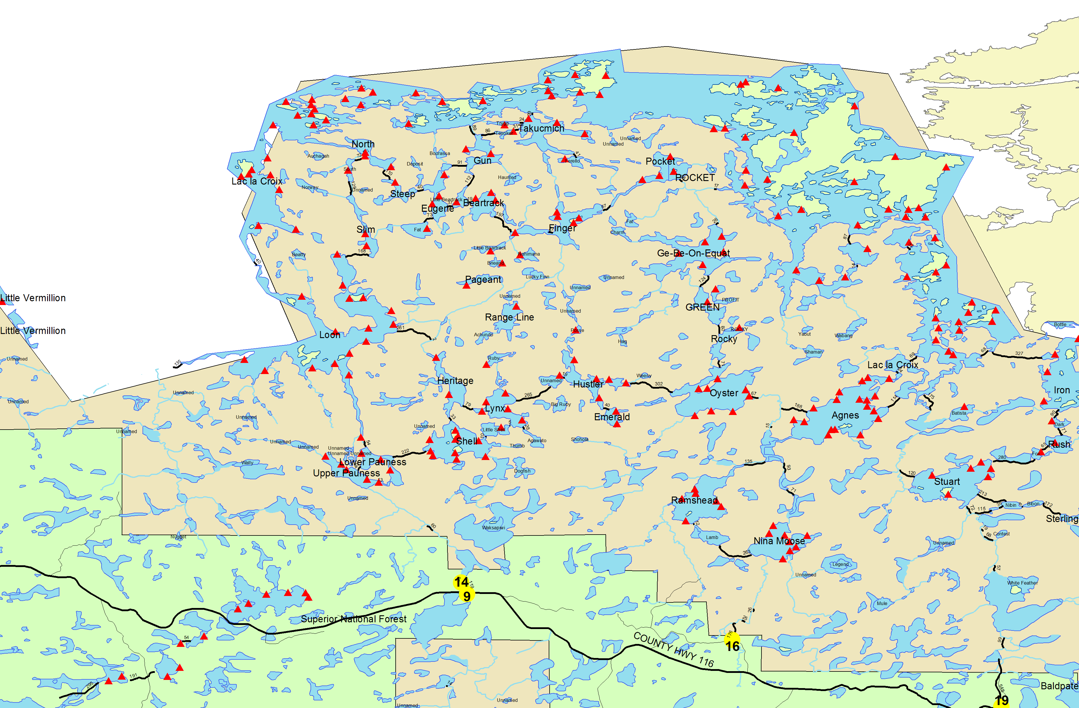
Little Indian Sioux River (north) entry point allows overnight paddle only. This entry point is supported by La Croix Ranger Station near the city of Ely, MN. The distance from ranger station to entry point is 32 miles. Access is a 40-rod portage heading North from the Echo Trail.
Number of Permits per Day: 6
Elevation: 1364 feet
Latitude: 48.1466
Longitude: -92.2103
Number of Permits per Day: 6
Elevation: 1364 feet
Latitude: 48.1466
Longitude: -92.2103
Four years to Nahimana (Photo link added on 8/7/08)
by PortageKeeper
Trip Report
Entry Date:
August 01, 2008
Entry Point:
Little Indian Sioux River (north)
Number of Days:
3
Group Size:
1
Trip Introduction:
Report
About four years ago, while eyeing some of the remote lakes in my favorite part of the BW, Nahimana grabbed me and would not let go. I eyed it from every angle, on maps and map software, studied it through Google Earth and searched for references on-line. Three other times I'd made trips with plans of trying to get in and visit and something always changed those plans. Once I was headed there only to realize that the moose were in rut. I was camped within two miles of Nahimana and just ready to turn in for the night when two bulls started fighting just outside of my camp. When moose are in rut it makes them much more unstable and if you've ever heard or seen them fight, you know that they can cause a lot of damage. They'll take trees down and the entire area will look like a bomb went off. After hearing them that night, I decided to continue the next day but with much more caution. I was paddling Pageant Lake when a large bull grunted at me from behind a tree. This got me thinking all the more, but I went on. While trying to penetrate the thick woods on the north side of Pageant I got to thinking about how dumb this was. There would be no escape if I crossed paths with a moose in this brush. I turned back. Another time that I'd tried making Nahimana, I was met on a portage by other canoeists asking if I had a SAT phone. A kid was lost near Emerald and the father wanted help finding him. We made a call for a plane and I went in that direction to help locate him. By the time I was half way across Hustler the plane landed next to me to get more info. After that, I continued to Emerald to walk the Sioux-Hustler Trail, where he had originally gone for a hike, only to not return. Before I made Emerald, the boy was spotted by plane and picked up. It did not end here. The father and son then needed help getting back to their canoe on Little Shell where the father had left it that morning as he'd hiked back to camp in search of his son. So, after going a few lakes out of my way, only to go back a few lakes... enough of my time needed for Nahimana was lost that I had to cancel those plans again. For some reason, I can't recall why, I couldn't go on the third attempt. I believe that it was something going on at home. Either way, it seemed that I was not supposed to get to Nahimana until the time was right! I searched for the meaning of Nahimana and found that it's a Sioux name, usually given to baby girls, that means 'mystical'. However, while searching this name, another site popped up. There is a group out there that goes back to find more accurite meanings for Native American words and names simply because some of the translations of years ago were guesses or close assumptions. They gave this explaination: NAHIMANA: This one is supposed to be a Sioux name meaning "mystical." Probably this is a slight mistranslation of the Dakota Sioux word Nahmana, which means "secret," not in a mystical way, but in a sly or covert way, like a spy. Was this possibly why I was having trouble getting there?! Well, my fourth attempt was this weekend and, low and behold, I made it there!!! Yesterday I was standing at the campsite on Nahimana, happy as punch! It did not come easy. I started my trip early Friday morning from the LIS entry and paddled through all the way to Contentment by way of Slim, Beartrack etc. Yesterday morning, after realizing that I would not get there with a canoe and pack, I ended up bushwacking in a half mile cross country, carrying only the bare essentials needed to get there, take photo's and get back out safe and sound. Of course, on my way in, I startled at least three moose, which started getting me nervious all over again! To give you an idea of how much this site has been used, I'll tell you this much, there were no pieces of charcoal in the fire grate, even when I'd dug down under all the years of debree, and the old, rotting wooden 'thunderbox' back in the woods had never seen a turd either. The hole looked as though they'd dug it last year. By all appearances, this site hasn't seen a visiter in 35(?) years! How's that for solitude?! I did take a bunch of photo's and am sorry to say that I've never had luck posting them on this site, largely because I'm stuck with dial-up! I will make an effort to post them somewhere for people to view and will let people know when and where. Nahimana is a gorgeous little lake and it's a shame that it can't be visited more than once every thirty five years. To me, it's larger than it looks on a map and what its shape seems to lack in character, it makes up for big time in real life! I found out why it would have been more accessible in the past but no longer is. If you bushwack up a steep hill from Thumb, following Nahimanas drainage, you find an old beaver dam that was no doubt there when they decided to put a site there. This would have flooded an area most all of the way back to Thumb making access by canoe easy after a short bushwack. The dam hasn't been active for many years which puts you another half mile of slogging through a nightmare to get there. I'm going to try talking the forest service into letting me make it more accessable. I just feel that it's going to waste as it is now. I would like this to be one of future portage clearing trips, if I could get more people interested. Yes, it is in a PMA and I understand all of that, but just recently the forest service implied that they don't mind people clearing SOME to get back to a lake. Anyway, after getting back to camp at Contentment, I decided to pack up and shoot for a favorite site on Pocket. The site was open and I very much enjoyed a dip in the lake before supper and a good nights sleep in the hammock! Today, I hit the water early passing through Gebe, Green, Rocky (stopped here for the picto's), Oyster, Hustler, Ruby, Lynx, L. Shell, Shell, L.Pauness, U.Pauness and a driving wind coming down LIS R. It was a long haul going in and coming out as well, but I'd felt like I accomplished my mission of four years. Heck, I'm fifty two and who know's if I'd have made it if I'd waited another year! Note: This was originally posted at CCBB. I have not tried posting any photo's on this site.
Link to some photo's: http://photobucket.com/portagekeeper You may have to cut and paste. Photo's loaded in reverse so click on last first etc. There is text with each photo.