Boundary Waters, Routes, Forum, BWCA, BWCAW, Quetico Parkwww.BWCA.com Trip Reports - Messageboard, Forum, BWCA, BWCAW, Quetico Park
Boundary Waters Route Blog
    Trip Reports
      Trip Report - The Mystery of Bog Lake - Solved
 
  Last Visit: 05/07/2024 06:54AM

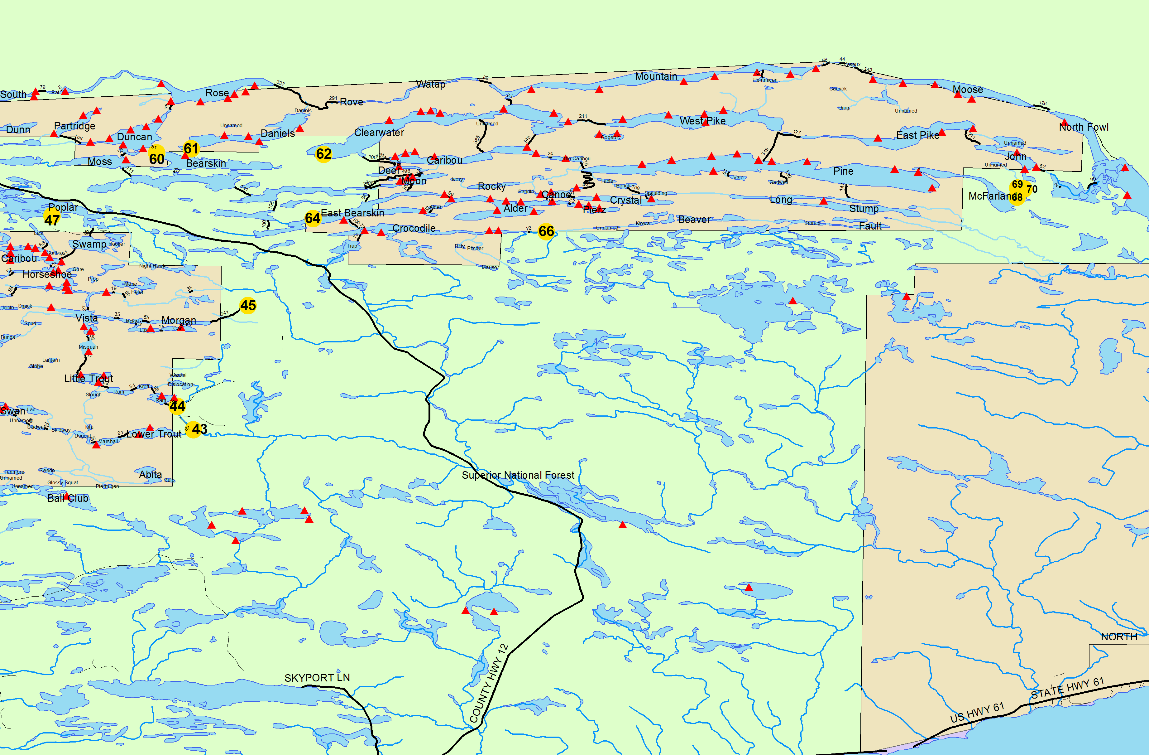
Entry Point 68 - Pine Lake

Pine Lake entry point allows overnight paddle only. This entry point is supported by Gunflint Ranger Station near the city of Grand Marais, MN. The distance from ranger station to entry point is 60 miles. Access through McFarland Lake. This area was affected by blowdown in 1999.

Number of Permits per Day: 1
Elevation: 1214 feet
Latitude: 48.0505
Longitude: -90.0572
Author Message Text
patoc
new member
 
08/21/2022 01:52PM
 
New Trip Report posted by patoc

Trip Name: The Mystery of Bog Lake - Solved.

Entry Point: 67

Click Here to View Trip Report
Reply Top Bottom Previous Next
tumblehome
distinguished memberdistinguished memberdistinguished memberdistinguished member
 
08/21/2022 06:40PM
 
Ah yes, the last place on earth to camp in the BWCA, Bog Lake.


Many moons ago I asked the wife if she would like to do a last minute trip to which she agreed to after some hesitation.


But Alas, getting a permit in the summer on a Friday is not an easy task, and the only permit available except a few other stinker entries was Bog Lake. So we took it.


I don’t remember much about the trip, not much to remember I guess. But I’m glad I went, at least I remember that much!


They should give out a patch or something for those that go to Bog Lake.
Tom
egknuti
distinguished memberdistinguished memberdistinguished memberdistinguished member
 
08/22/2022 08:23AM
 
The picture where you are sitting on the beach actually shows the other campsite right off the point.
I do day fishing trips into Bog and usually don’t see anyone else, except the last time (2 weeks ago) where all three sites were taken. They did all clear out by noon though.
patoc
new member
 
08/22/2022 03:12PM
 
Ahh, so there it is - thanks. I was definitely looking too far west as I hadn't bothered to bring a map in and was going off of memory. It would have been interesting to see if it was open (grate/pit toilet).

In any case, another small part of the mystery solved. :)
egknuti
distinguished memberdistinguished memberdistinguished memberdistinguished member
 
08/22/2022 04:42PM
 
It is open with the old fire grate plus a new latrine. Probably the better of the two burned sites. This site and the old middle site were pretty good sites and had some beautiful old cedars.
TreeBear
distinguished memberdistinguished memberdistinguished memberdistinguished member
 
08/29/2022 02:56PM
 
As of May, the update of the USFS open sites map does show three open sites which makes sense. The strange thing is the map doesn't extend north anymore to show Hudson/the wilders/Insula/the numbers so perhaps they aren't reopening any more up there. Also interesting that some sites I thought would NEVER reopen have been such as Baskatong and some of the Isabella and Island river sites.


https://www.fs.usda.gov/Internet/FSE_DOCUMENTS/fseprd667957.pdf


Two north and the southwest site. Thanks for the report! I am hoping to get there this fall if I get the time.
520eek
distinguished memberdistinguished memberdistinguished memberdistinguished member
 
09/07/2022 12:38AM
 
well, there you have it! Mystery solved... :)

I couldn't wait for success, so I went ahead without it!
Reply Top Bottom Previous Next
Routes
Trip Reports
a
.
Routes
Trip Reports
Routes
Trip Reports
Routes
Trip Reports
.
Routes
Trip Reports
Routes
Trip Reports
x
Routes
Trip Reports
fd
hgc
Routes
Trip Reports
Routes
Trip Reports
Routes
Trip Reports
Routes
Trip Reports
Routes
Trip Reports