BWCA Entry Point, Route, and Trip Report Blog
July 09 2025
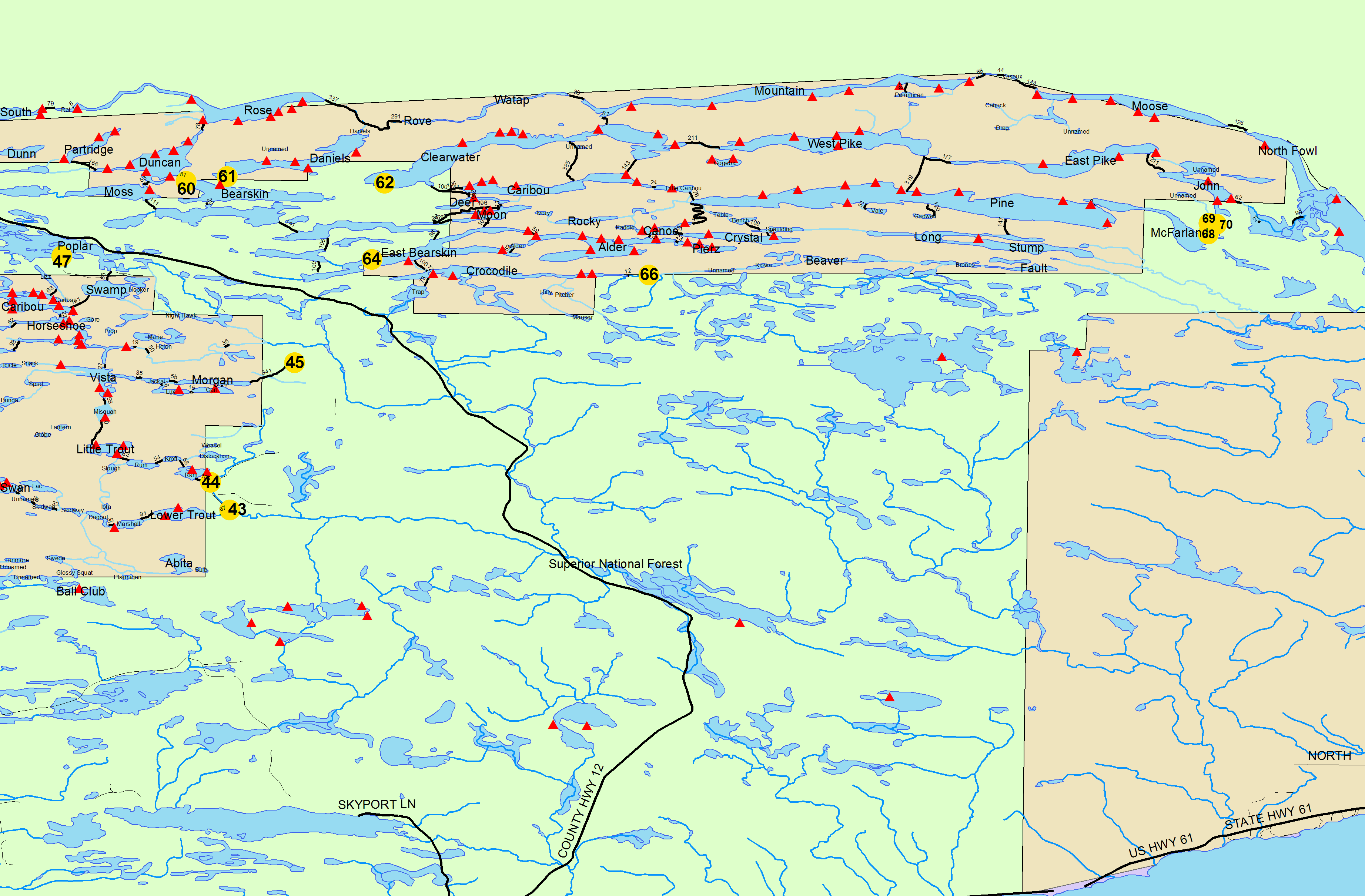
Entry Point 68 - Pine Lake
Number of Permits per Day: 1
Elevation: 1214 feet
Latitude: 48.0505
Longitude: -90.0572
Pine Lake - 68
Winter Arrowhead Trip
Entry Date:
February 16, 2007
Entry Point:
John Lake
Number of Days:
3
Group Size:
2
I just got back and I survived with all my toes and fingers. I have included a brief trip report below. The three basic things I found were. It was a very testing first winter camping trip!!
1. -25 is really cold sleeping weather.
2. It is a lot harder to stay dry in the winter and if you don't your out of luck in weather like we had. Luckily we overpacked.
3. hilly portages are a lot harder with a pulk in the winter than with a canoe in the summer.
We hiked in on Little John, to John, to East Pike. Set up camp at the end of the portage because we were beat. Temps dropped from around 11 when we went in to -10 or colder the first night. The second day the winds were howling all day long, and we did a day hike up to the border route trail, round trip about 4 miles. I don't think the temps got much above zero. The second night we had a ton of wind, actually hard to walk against. On a clear cloudless night temps were around -25 to -35 at least (-22 in Grand Marais) with I'd guess 30 mile an hour winds, where the wind chill ended up is anyones guess. The last day we woke to cool temps and hiked out at about 9:00 getting to the car by 11:30 and what we guessed to be a balmy 20 degrees, only to find out that what felt like the warmest weather of the weekend was only 5 degrees. Hahhh.
2 x 20 degree bags worked very well for body heat, and I threw a 12 hour handwarmer at the bottom for my feet which worked well. But my breath would freeze to my bag on the way out of my mouth, and then that would keep sticking to my face. etc... plus it was cold enough that it literally hurt to touch your bag as you got in.
bringing in pre sliced smoked sausage (that obviously froze) for Jambalya was great and the hand auger and spoon, we had also worked out well to get water, although the ice was nearly too deep to get through. Although too cold to fish like we had hoped, you just couldn't stay exposed on the ice.
Also we had a stove issue in that we had a propane stove, which are not supposed to work at cold temps. So we came up with a system, we had a small collapsable cooler that we would keep 2 warm bottles of water in and another hand warmer, then covered the cooler in snow and a pair of wool pants on top. The hose to the stove ran directly into the cooler. This worked really well. The cooler was still warm or even hot after a full night of sleeping and the stove ran great. We would fill our camelbacks, which always stayed on us, with the water in the cooler and then boil or heat water and put it into 2 nalgene's which went back into the cooler, when ever our camelbacks ran out we would replace it.
All in all it was a great trip, but very tiring, and looking back slightly dangerous, even changing clothes was scary at points. I think you can always be prepared but at those temps, fingers and toes go numb very quickly. So we really had to watch it, I am very glad we brougt a lot of extra clothes they just don't dry out at those temps.
Thanks to all those who lent their advice it was heeded and needed